
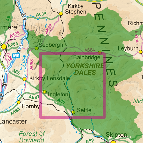
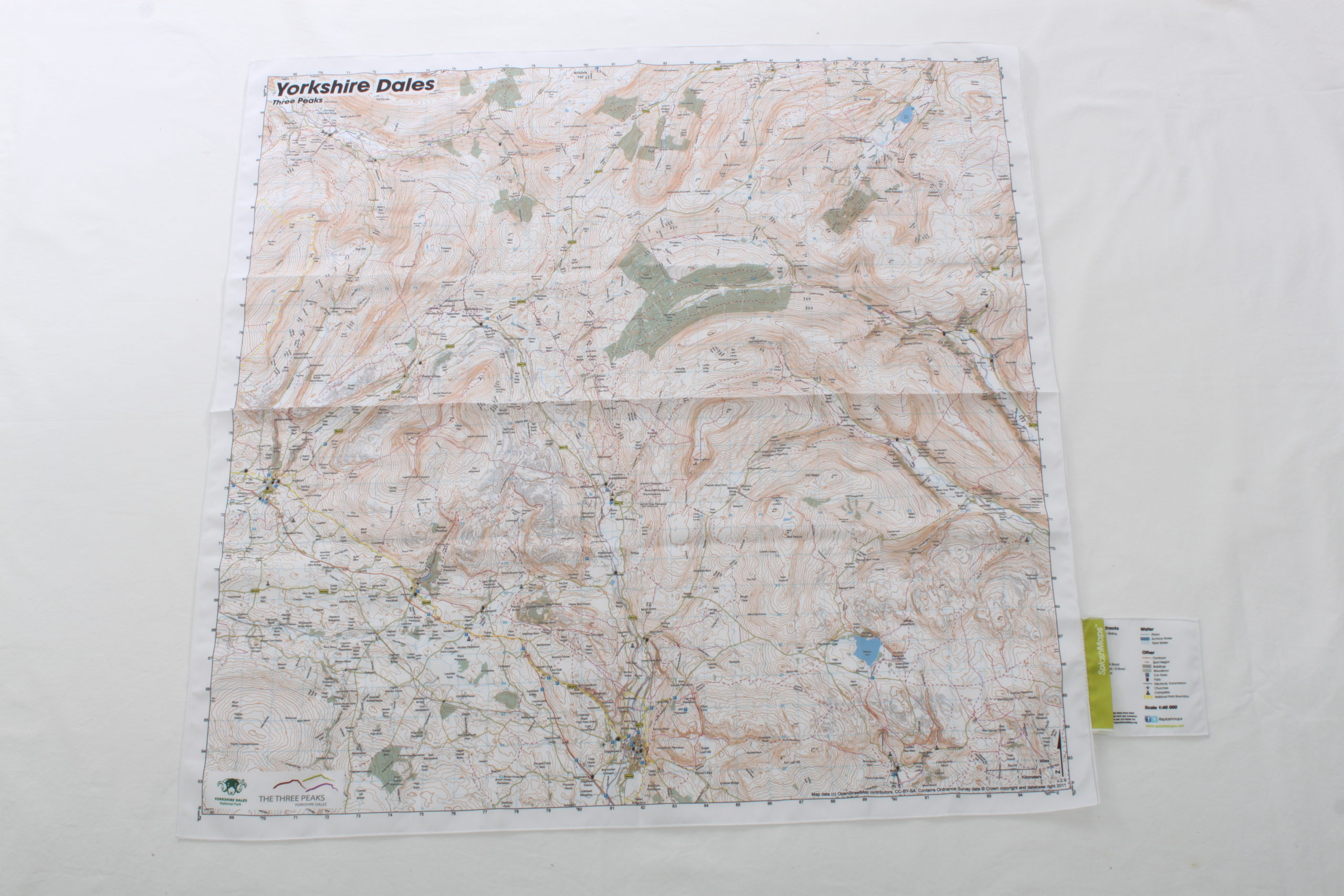
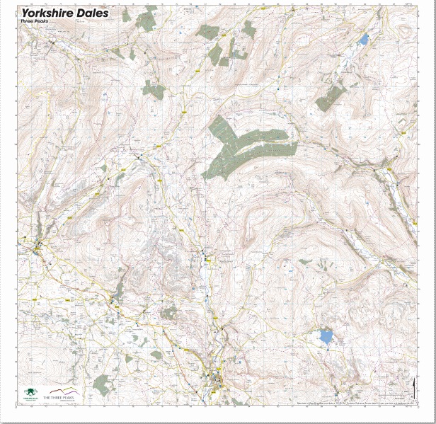

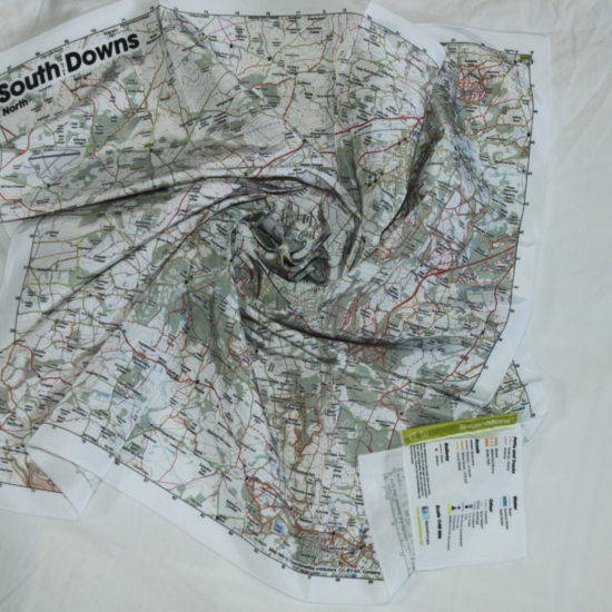
Our weatherproof Yorkshire Dales Three Peaks Map covers 1190 square kilometres of this dramatic park and was commissioned by the Yorkshire Dales National Park Authority. This map is centred to include the iconic Peaks of Ingleborough,
Whernside and Pen-y-Ghent and the main access points and amenities supporting this great challenge. The Map is beautifully branded and ruggedly designed for all Yorkshire conditions. It’s an ideal companion and a perfect memento for your challenge!
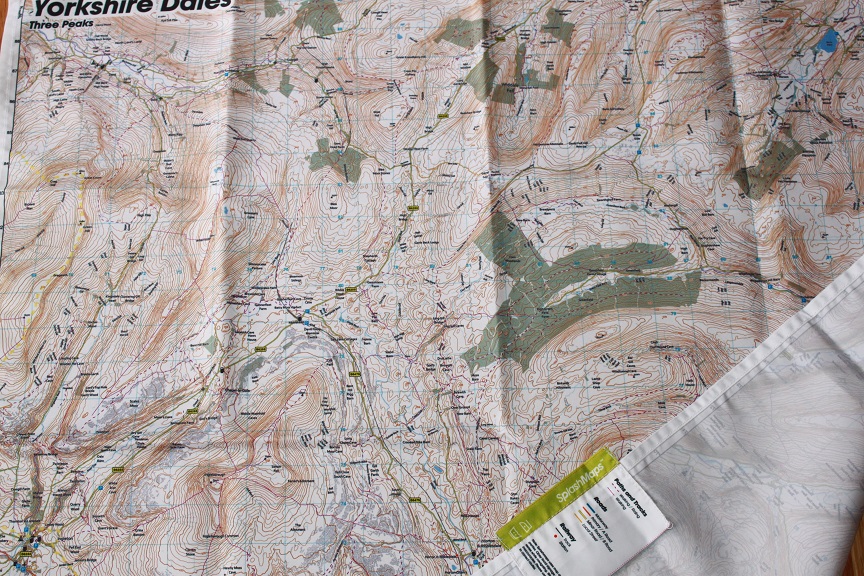
There are as many reasons as there are dry stone walls to cross! In a way it brought together family members with friends, I got to understand my products better and meet customers in the wild. We were also raising money for charity (we raised £240 for World Challenge, Tanzania and £195 for the British Heart Foundation!). One of us was a Kiwi with a history in Yorkshire, so there was an element of “trip down memory lane”. And all of us wanted to raise our level of fitness. The challenge provided a focus. All these factors might determine the value of the map as an important piece of memorabilia. To see how we did head here…
KEY INFORMATION:
Major Settlements/ Features
Settle, Pen-y-ghent, Whernside, Inglebrough, Ingleton, Malham, Dent, Gawthrop, Cowgill, Thistlethwaite, Widdale Fell, Marsett, Kidstones, Hell Gap, Cray High Bridge, Stubbing Bridge, Bouther Gill Cave, Hagg Beck Cave, Oughtershaw, Pennine Way, Greenfield, Ribblehead, Chapel-le-Dale, Gragareth, Horton in Ribblesdale, Dambrook Fell, Fountains Fell, Arncliffe, Dowkabottom Cave, Parson’s Pulpit, Malham Tarn, Trenhouse, Stainforth, Langcliffe, Austwick, Clapham, Clapham Station, Newby, Giggleswick, Sugar Loaf Hill,
National Grid Coordinates (Easting, Northing / Grid Reference):
Lower-left – 368000,462000
Upper-right – 395600, 489600
Scale:
1:50,000
Dimensions on map:
34.5km x 34.5km
Size of product (including borders):
72cm x 72cm (approximately)
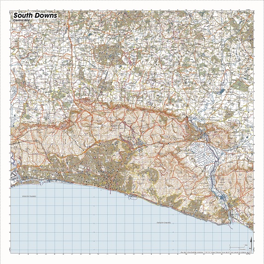
| Weight | 0.06 kg |
|---|---|
| Dimensions | 72 × 72 cm |
| Map Scale | 1:40 000 |
Only logged in customers who have purchased this product may leave a review.


Reviews
There are no reviews yet.