![2013-04-04_south_downs-east [Titles]](https://www.splash-maps.com/wp-content/uploads/2013/04/2013-04-04_south_downs-east_tn.jpg)
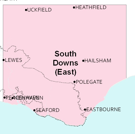

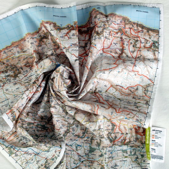
South Downs East SplashMap: A beautiful map of the Eastern section of the South Downs National Park. The weatherproof fabric SplashMap is designed for outdoor adventures and features contours, the OS national grid, walking and riding trails, clearly designated and numbered roads and water bodies. Our signature pub, car park, church and camping symbols make navigating to your start and end points a doddle.
KEY INFORMATION:
Major Settlements:
Eastbourne, Lewes, Uckfield, New Haven, Hailsham, Newhaven, Rodmell, Southease, Ringmer, Mount Pleasant, Isfield, Norington, Cliffe Hill, Mount Caburn, South Downs Way, Seaford, Firle Beacon, Laughton, Ridgewood, Framfield, Blackboys, East Hoathly, Chalvington, Berwick, Alfriston, Birling Gap, East Dean, Friston, WilmingtonHill, Jevington, Willingdon Hill, Polegate, Heathfield, Punnett’s Town, Three Cups Corner, Windmill Hill, Seven Sisters, Pevensey Bay, Brightling, Boreham Street
National Grid Coordinates (Easting, Northing / Grid Reference):
Lower-left – 541600, 94600 / TV416946
Upper-right – 569200, 122200 / TQ692222
Scale:
1:40,000
Dimensions on map:
27.6km x 27.6km
Size of product (including borders):
72cm x 72cm (approximately)
| Dimensions | 73 × 73 cm |
|---|---|
| Map Scale | 1:40 000 |
Only logged in customers who have purchased this product may leave a review.


Reviews
There are no reviews yet.