![2013-04-04_south_downs-central_west [Titles]](https://www.splash-maps.com/wp-content/uploads/2013/03/South-Downs-Central-West-Detail.jpg)
![2013-04-04_south_downs-central_west [Titles]1](https://www.splash-maps.com/wp-content/uploads/2013/03/2013-04-04_south_downs-central_west_tn.jpg)

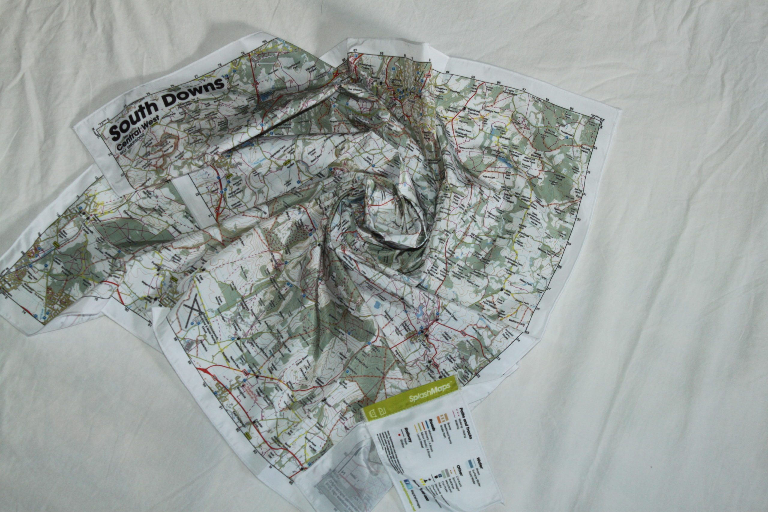
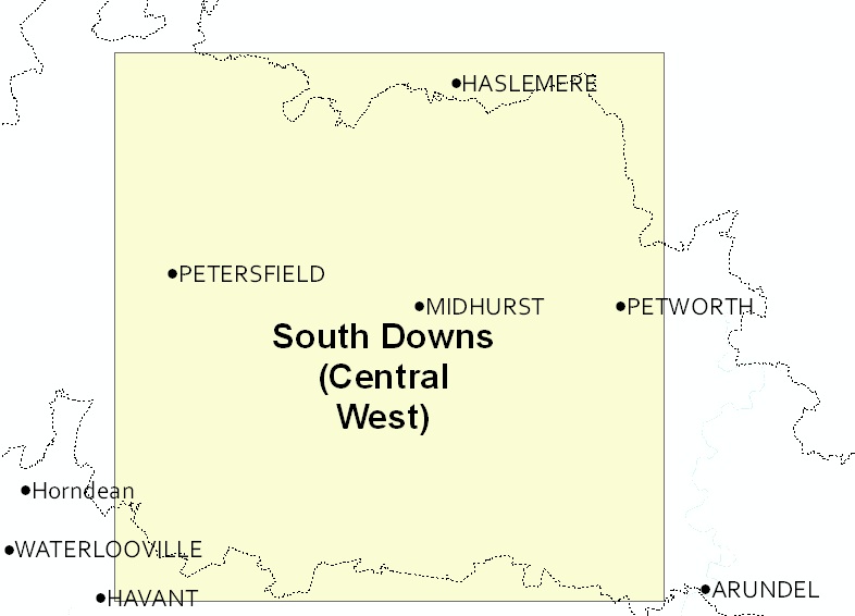
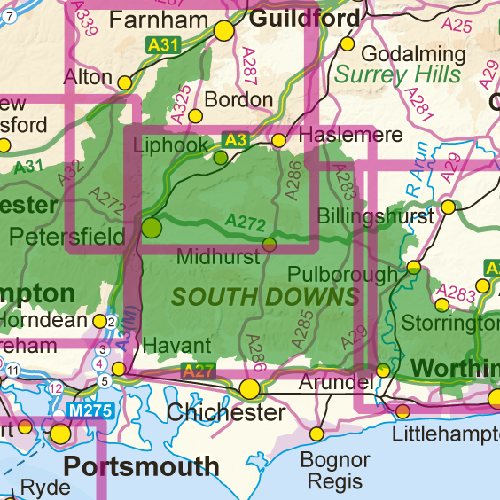
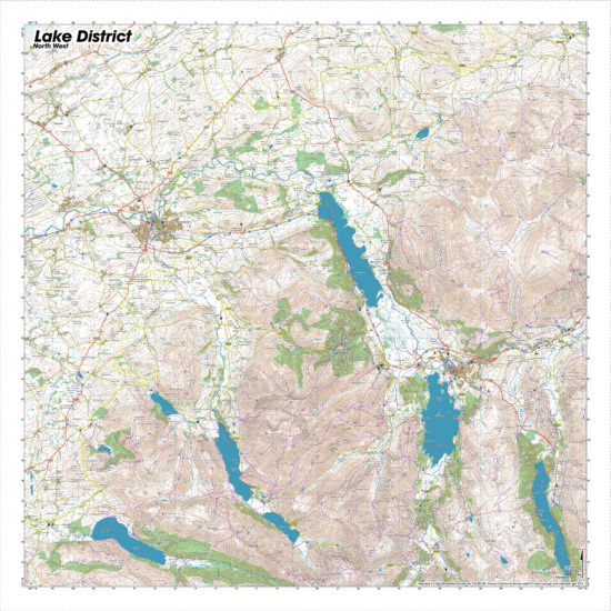
A beautiful map of the Central Western section of the South Downs. The South Downs (Central West) Map is designed for outdoor adventures and features contours, the OS national grid, walking and riding trails, clearly designated and numbered roads and water bodies. Our signature pub, car park, church and camping symbols make navigating to your start and end points a doddle.
KEY INFORMATION:
Major Settlements:
Hampshire, West Sussex, Midhurst, Petersfield, Haslemere and Petworth
National Grid Coordinates (Easting, Northing / Grid Reference):
Lower-left – 472600, 106500 / SU726065
Upper-right – 500200, 134100 / TQ002341
Scale:
1:40,000
Dimensions on map:
27.6km x 27.6km
Size of product (including borders):
72cm x 72cm (approximately)
Sample of Detail:
| Dimensions | 73 × 73 cm |
|---|---|
| Map Scale | 1:40 000 |
Only logged in customers who have purchased this product may leave a review.


Reviews
There are no reviews yet.