 UK Maps focus on the most popular destinations for those that love the outdoors. Create your own personalised maps using Ordnance Survey’s Licensed Data.
From hiking trails to city streets, the UK has so much to explore. Make sure you’re prepared with the best maps available. Check out our guide now!
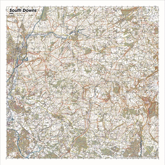
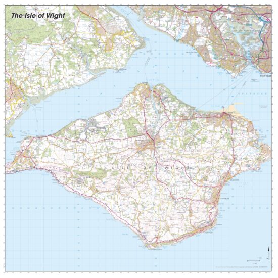
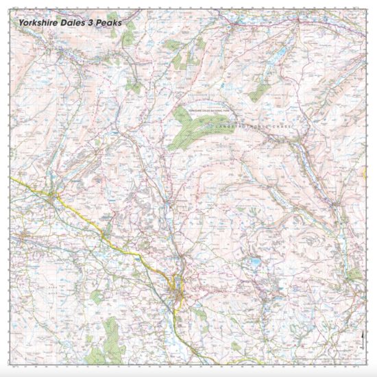
Before you start planning your next adventure in the UK, it’s important you understand the different types of maps available. Our Topographic UK maps from Ordnance Survey serve as indispensable tools for navigating the countryside, our unparalleled print quality revealing intricate details of the landscape including hills, rivers, and forests. For urban exploration, turn to our City maps of the UK with offer precise guidance on roads and pathways. Meanwhile our hiking maps provide comprehensive insights into trails and terrain, ensuring a safe and enjoyable trek. Selecting the appropriate map tailored to your specific adventure guarantees you’ll have all the necessary resources to stay on course.
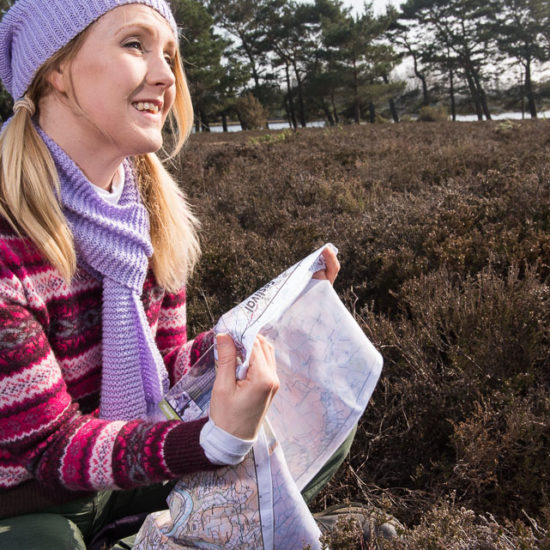
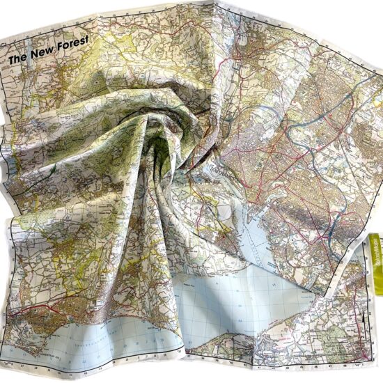
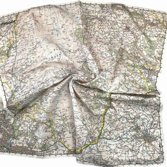
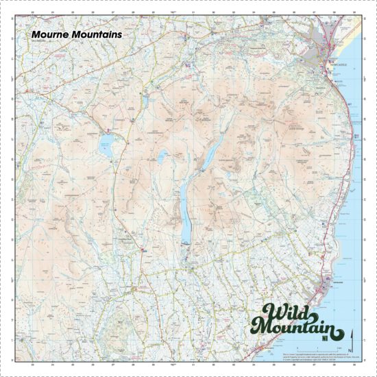
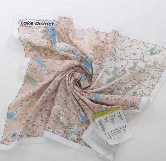
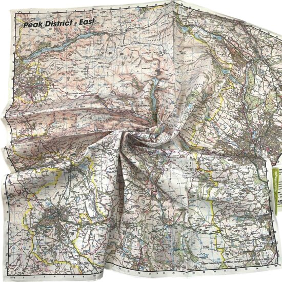
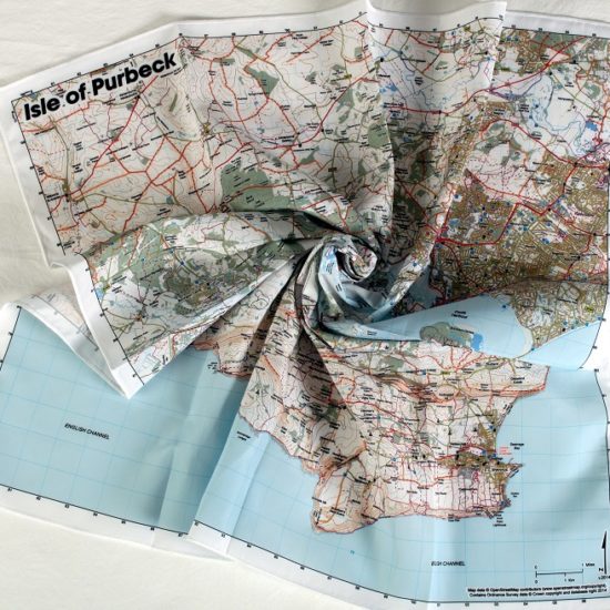
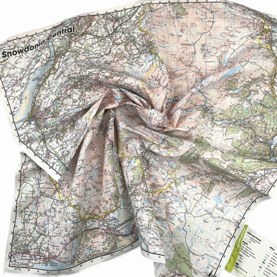
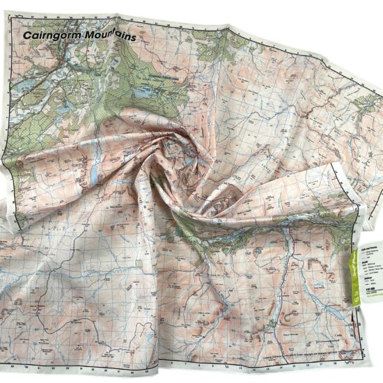
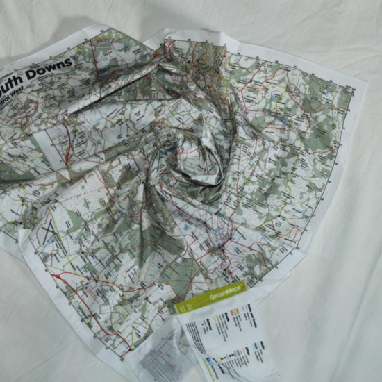
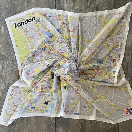
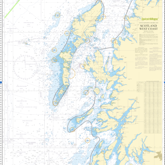
SplashMaps® UK Maps are beautiful, yet virtually indestructible, fabric maps of the UK. Because they’re made for any adventure they neither degrade, like paper, nor trip-out or break like GPS. They bring you simple navigation without the fuss of folding, squinting or scrabbling for batteries or signal.
While maps are an essential tool for any adventure, you’re advised to bring a compass and know how to use it. Practice with a compass so you can navigate even when visibility is poor.
They’re scrunchable (to stuff into pockets or tie around necks), weatherproof and washable (you can mark on routes or slather them in mud, and they’ll emerge from the machine as new).
Maps can be created for anywhere in the Kingdom. In Great Britain our OS map online service, Make-a-Map, helps you create a familiar Explorer or Landranger style SplashMap.
Designed and woven for confidence SplashMaps are unique gifts for any adventurer.”
Showing 1–20 of 125 resultsSorted by popularity