
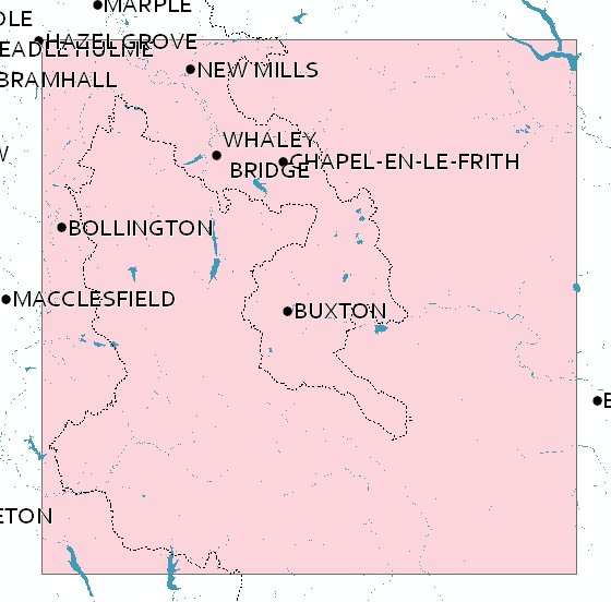
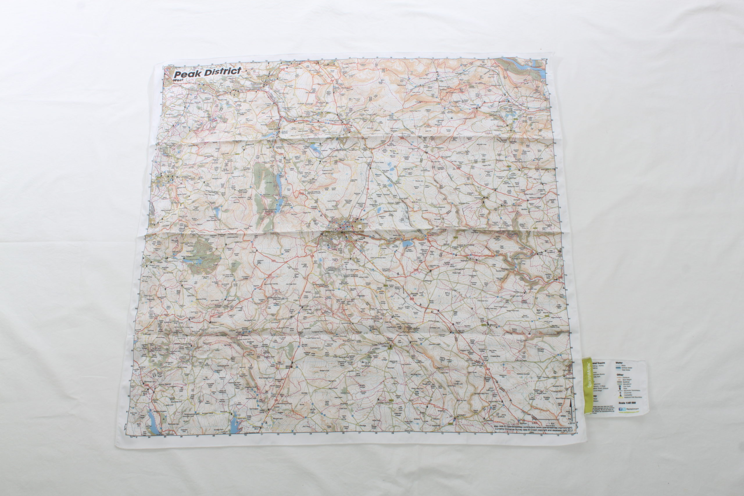
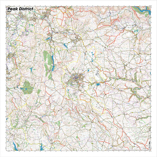

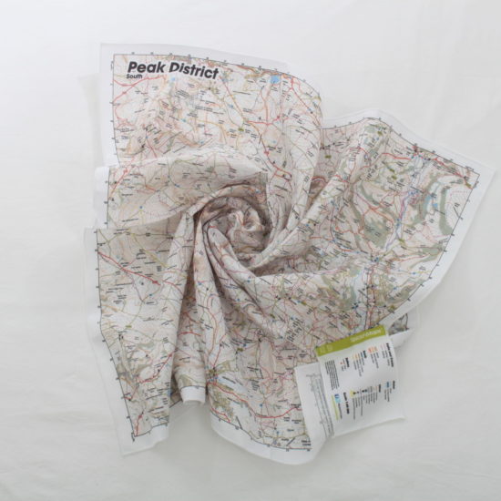
The Peak District Map West SplashMap is a beautiful map of the Western section of the Peak District National Park . The Peak District West map is designed for outdoor adventures and features contours, the OS national grid, walking and riding trails, clearly designated and numbered roads and water bodies. Our signature pub, car park, church and camping symbols make navigating to your start and end points a doddle.
SplashMaps offer full coverage of this beautiful National Park. Each Peak District map – 4 in our unique 40k scale series – highlights your rights of way and simplifies adventure planning. But, if you love that tradional Ordnance Survey Peak District Map look, don’t forget you can design 1:50k or 1:25k Peak District maps in 10 different formats centred on anywhere.
The Peak District is the UK’s original National Park, formed as a result of the mass trespass on Kinder Scout in 1932. The inspiration for many of Britain’s famous mountaineers and explorers it now hosts some of the country’s finest hiking and mountain bike trails.
SplashMaps is proud to be a Partner of the Peak District National Park Foundation. We contribute 10% of all sales originating from their site to improving accessibility on the trails.
KEY INFORMATION:
Major Settlements:
Buxton, New Mills, Bollington, Whaley Bridge
National Grid Coordinates (Easting, Northing / Grid Reference):
Lower-left – 392500, 359500
Upper-right – 420100, 387100
Scale:
1:40,000
Dimensions on map:
27.6km x 27.6km
Size of product (including borders):
72cm x 72cm (approximately)
| Dimensions | 73 × 73 cm |
|---|---|
| Map Scale | 1:40 000 |
Only logged in customers who have purchased this product may leave a review.


Reviews
There are no reviews yet.