 Navigation is personal…
Really it is! And on a recent Yorkshire Dales 3 Peaks Challenge I came to realise that fabric maps aren’t for everyone! Your unique circumstances throw up a myriad of options straight away. Each map has a purpose and each audience its unique needs. These needs shape the information a map needs to convey and the best way to communicate it. I expand on this in the book “A map for all seasons“.
![]()
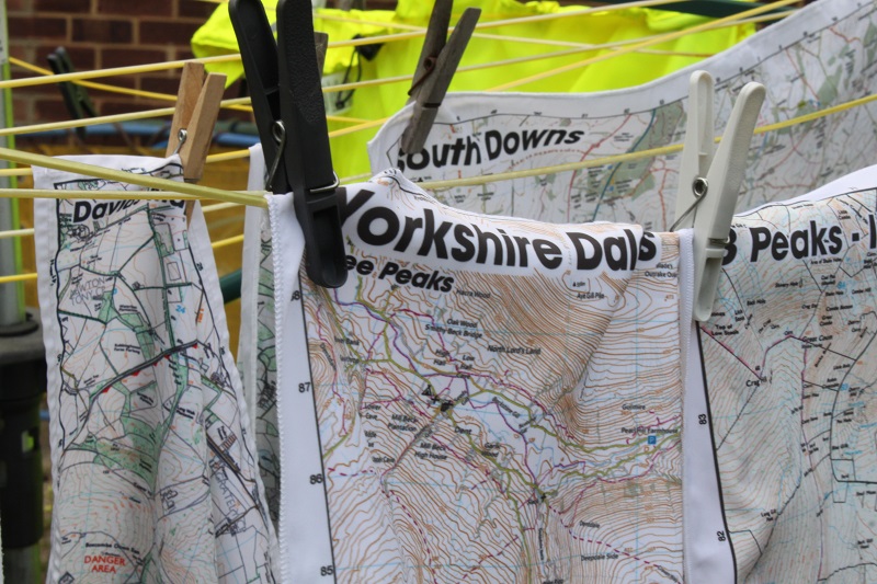
On our Yorkshire Dales 3 peaks challenge, one of us loved apps and brought spare batteries, a phone and the Ordnance Survey map application. Another brought a 15 year old Ordnance Survey Explorer, lovingly folded, marked with highlighter and preserved in a plastic pouch. Yet another had a print out from the Ordnance Survey where a route had already been highlighted. This too was printed on paper and held in a round-the-neck plastic map reading wallet. Another had the 1:40k official and branded Yorkshire Dales 3 Peaks fabric map from SplashMaps and finally, I was following a personalised SplashMap featuring the Ordnance Survey 1:25k and a jolly title “The Three Peaks – It’s a long poke!”. Despite us all being good and long-term friends and relatives, we each carried a lot of our histories, experience and attitudes in our trail finding choices.
There are as many reasons as there are dry stone walls to cross! In a way it brought together family members with friends, I got to understand my products better and meet customers in the wild. We were also raising money for charity (we raised £240 for World Challenge, Tanzania and £195 for the British Heart Foundation!). One of us was a Kiwi with a history in Yorkshire, so there was an element of “trip down memory lane”. And all of us wanted to raise our level of fitness. The challenge provided a focus. All these factors might determine the value of the map as an important piece of memorabilia. A personalised message at the top of our SplashMap “3 Peaks – It’s a Long Poke!” recognised the uniqueness of the event and made a great trophy for the “Man of the Mountain” prize.
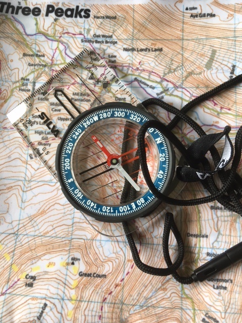
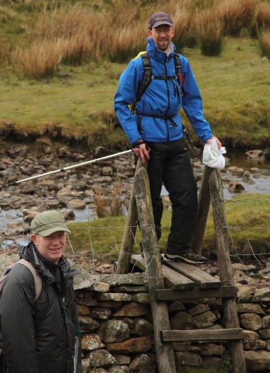
We arrived after a long drought (in Yorkshire terms!) and the rain we experienced could be seen filling the cracks in the broken earth. The bogs and marshes were easily passable allowing us to exploit the short-cut across Horton Moor without sinking. But the rain itself meant it was impossible for any of the others to “thumb the route”. I was able to keep my thumb on the route all the way, adjusting with each clear landmark seen and interpreted on the map. When the fog was thick the thumb position and a compass helped us find our way safely from the top of Ingleborough.
With a mixed group, not used to the long distance hikes, it was sensible to plan ahead. As a circular route there are many ways to go, but the traditional and accepted approach is to begin at Horton in Ribblesdale, travelling anticlockwise and taking-on the tallest peak, Pen-y-ghent first. We opted to start at Chapel-le-Dale, travelling anti-clockwise. There were a number of benefits for our mixed team.
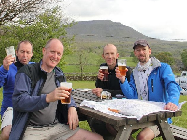
The choice is yours! But for us this was clearly the best way to travel and with knowlege that the weather would brighten in the afternoon it was great to get the best views when on Whernside.
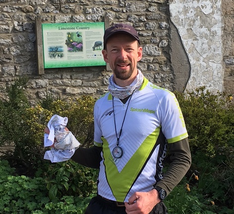
Fitness and your creaking bones can determine start points and the route, but your experience in navigation is much more likely to determine the type of navigation. Tech guru Jonathan suffered the battery draining GPS experience, but found solace in checking our direction from time to time. 2 of our number had been in the Scouts. Trained back in the 1980’s they gravitated to paper and plastic sleeves. I was able to help them locate themselves a number of times after their careful but cussed refolding of maps in the abysmal weather meant they lost track. For my brother and I, we’ve neither been trained by the Scouts in the 80’s, nor did we trust the battery guzzling GPS apps. As cyclists a map on fabric is a natural choice and worked just as well for us up here in the hills. SplashMaps kept the wind and rain off our necks and gave us a clear guide and reference point for compass work in all weathers.
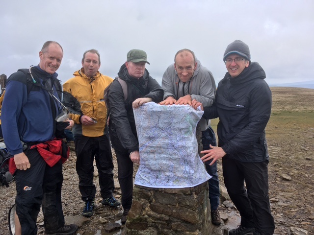
All our team made it back in one piece having completed the 24 miles and Yorkshire’s 3 tallest peaks. Knee pain meant one member arrived home a few minutes after the 12 hour target (only a coincidence that he’s a paper map lover). The walk, in my view, was topped by the talks we had upon the way and the lazy celebrations and good honest Yorkshire hospitality we discovered in the evening. After all, the point of these journeys is not to arrive, but instead to discover!