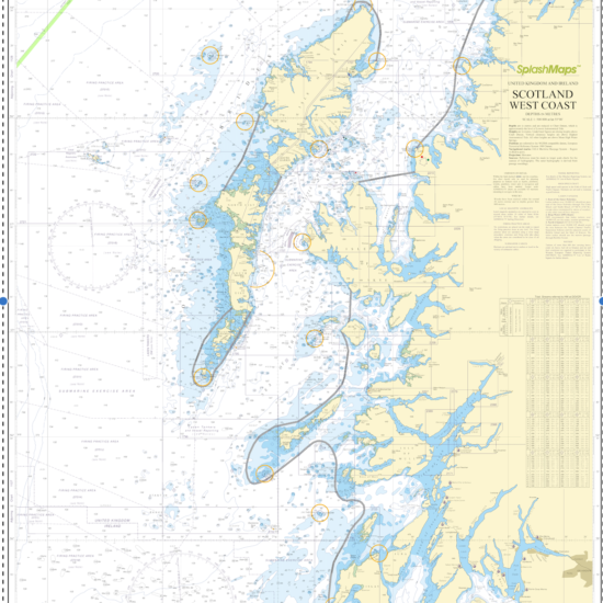
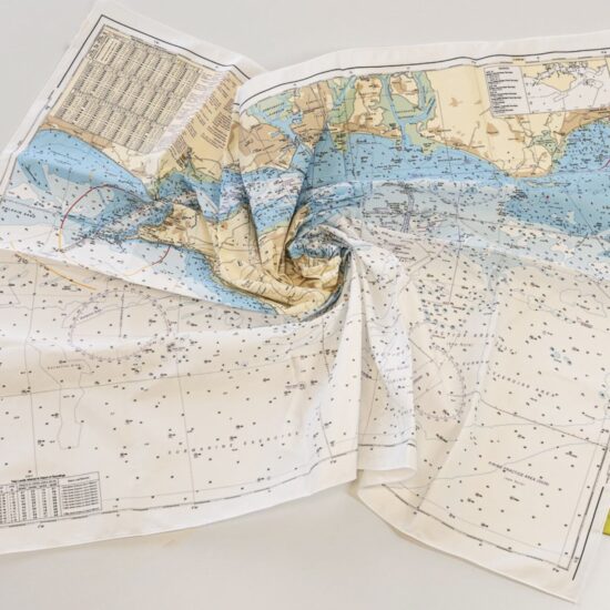
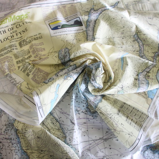
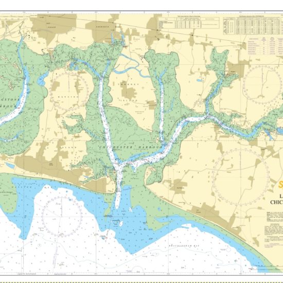
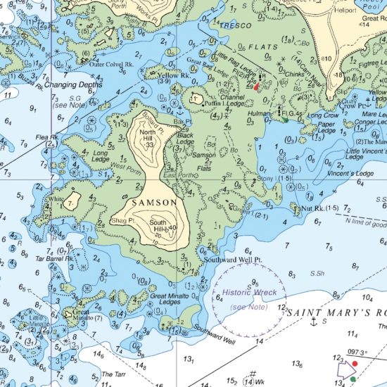
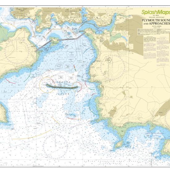
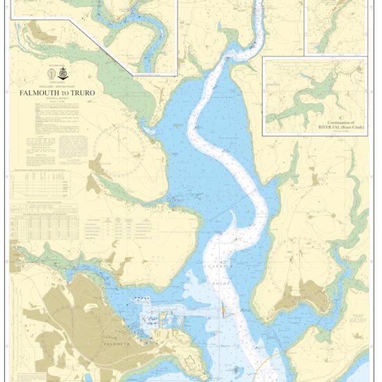
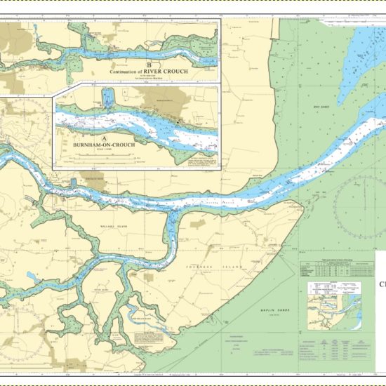
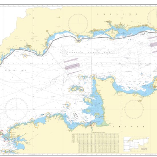
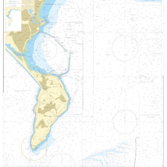
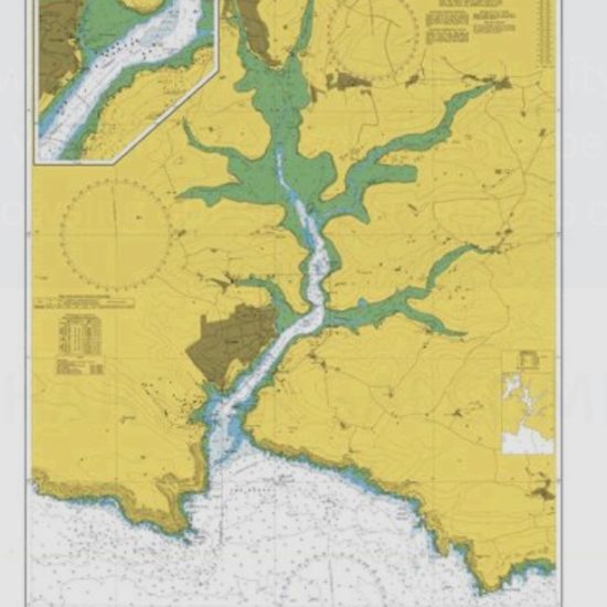
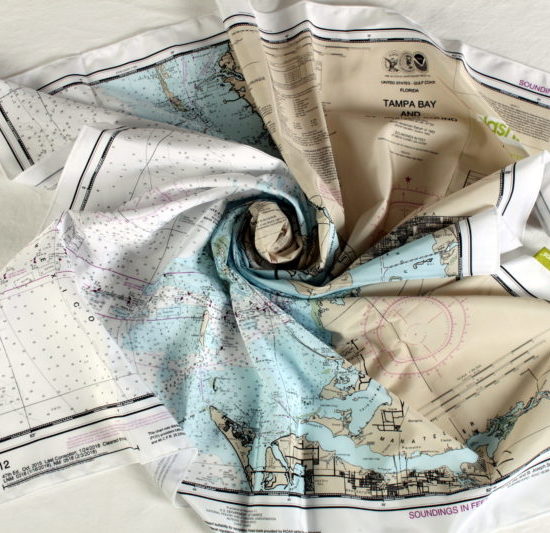
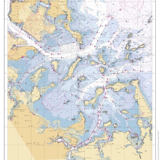
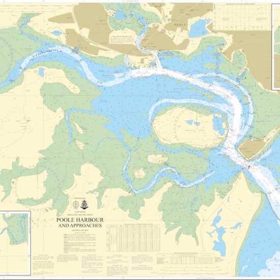
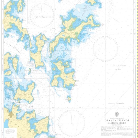
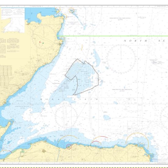
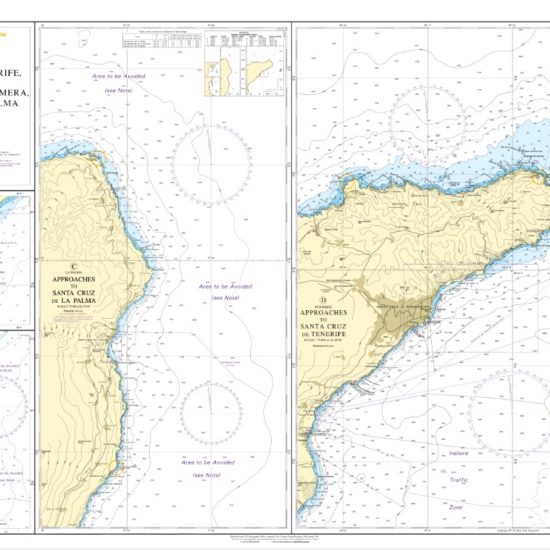
0

Nautical Charts

solent-sailing-week

SplashMaps Chart sails in!

SplashMaps’ Nautical Charts are made in partnership with the UK Hydrographic Office. In the main they are based upon Admiralty charts and can be referenced by their admiralty chart numbers.

Greater World Coverage

To allow for greater world coverage the UKHO broker license arrangements with other providers of marine and nautical charts around the world. So, if you don’t find what you are after in our standard set of charts, please contact us and we can certainly sort something out for you and your crew.

Bespoke chart for your adventure

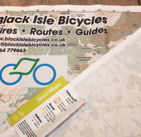
If you have an event that needs branding or even a bespoke chart with exploded sections, desired routes or other detail incorporated, please contact us and we can quote you.

Showing 1–16 of 17 results

  • wil-tirion-star-map-splashmap

    Northern Hemisphere Star Map

    31
  • solent-southampton-isle-wight-siling-chart-splashmap

    Southampton Water, Isle of Wight & Solent SplashMaps Chart

    36
  • scotland-west-coast-chart-ukho-splashmap-2365

    Scotland West Coast Chart from SplashMaps

    36
  • Map Maker Adapter

    178
  • firth-clyde-scotland-chart

    Scotland Firth of Clyde and Loch Fyne Chart from SplashMaps

    36
  • langstone_Chichester_Harbours_SplashMap

    Langstone and Chichester Harbours Chart from SplashMaps

    36
  • plymouth-sound-chart-splashmaps

    Plymouth Sound and Approaches SplashMaps Chart

    36
  • SplashMaps Design Service – Down payment

    56
  • tampa-bay-sailing-splashmap

    Tampa Bay and St Joseph Sound Chart

    36
  • ukho_rivers_crouch-roach

    Rivers Crouch and Roach SplashMaps Chart

    36
  • map-vanfitting-splashmaps

    Map My Van

    400
  • Southampton Waters and Solent Chart

    36
  • canary-isles-splashmaps-chart

    Canary Isles Chart from SplashMaps – approaches to Tenerife, Gomera and Palma

    36
  • salcombe-harbour-splashmap-chart

    Salcombe Harbour Chart from SplashMaps

    36
  • Map Waistcoat

    402
  • isles-scilly-chart-34

    Isles of Scilly SplashMaps Chart

    36