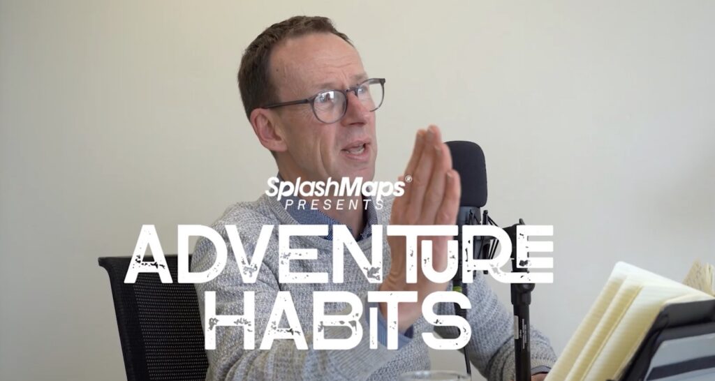
Welcome to series 2 of Adventure Habits Pod Cast Interviews! Updated every 2 weeks…

Welcome to the second package of Adventure Habits Pod Cast Interviews! Updated every 2…
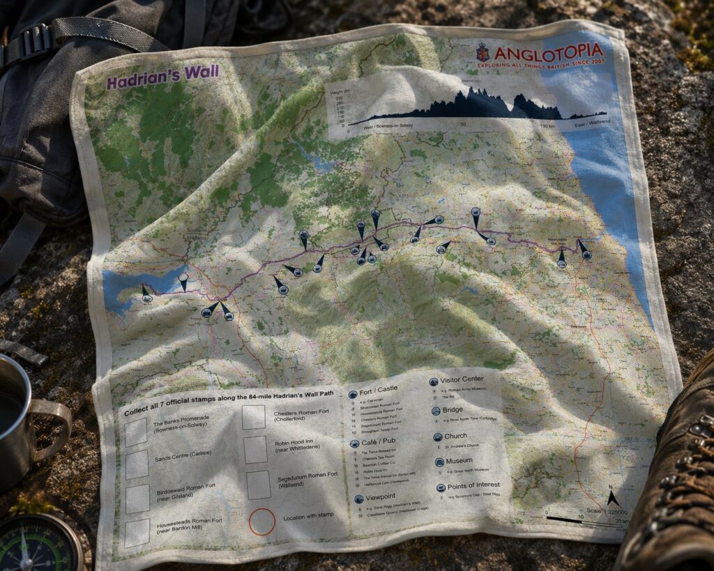
Our new Hadrian’s Wall Challenge Map is a big step forward for the SplashMaps…
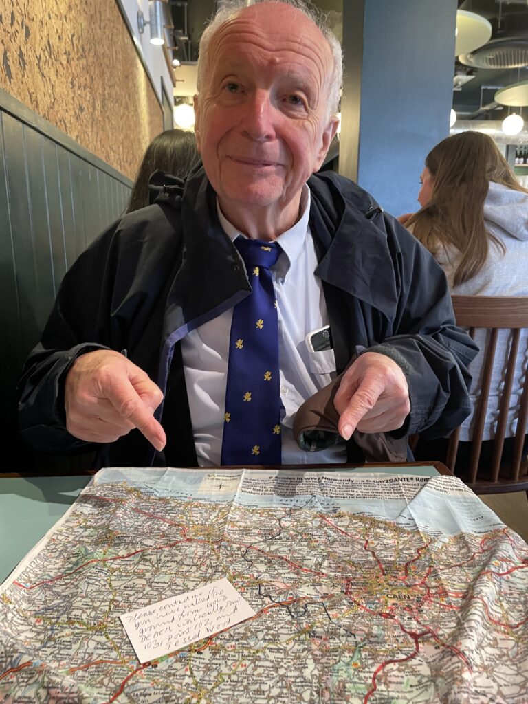
Some customers place an order and move on. Others become part of the story.…
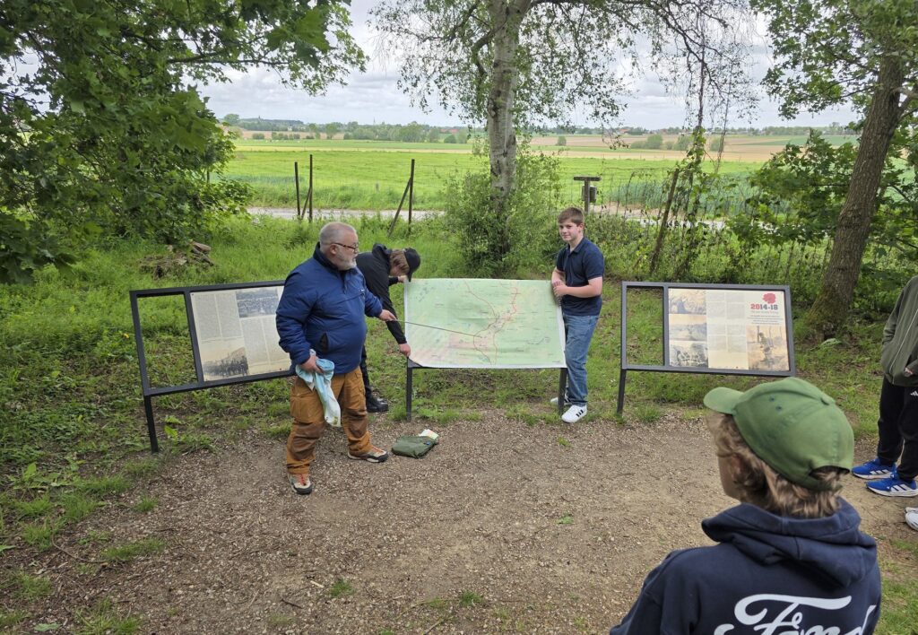
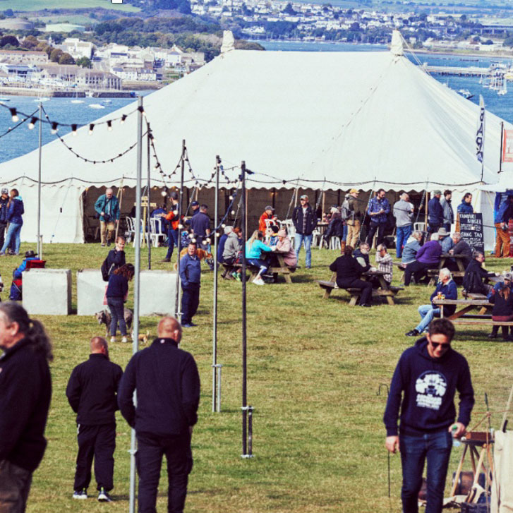
As commemorations and battlefield tours gather pace this season, more historians, guides and families…