
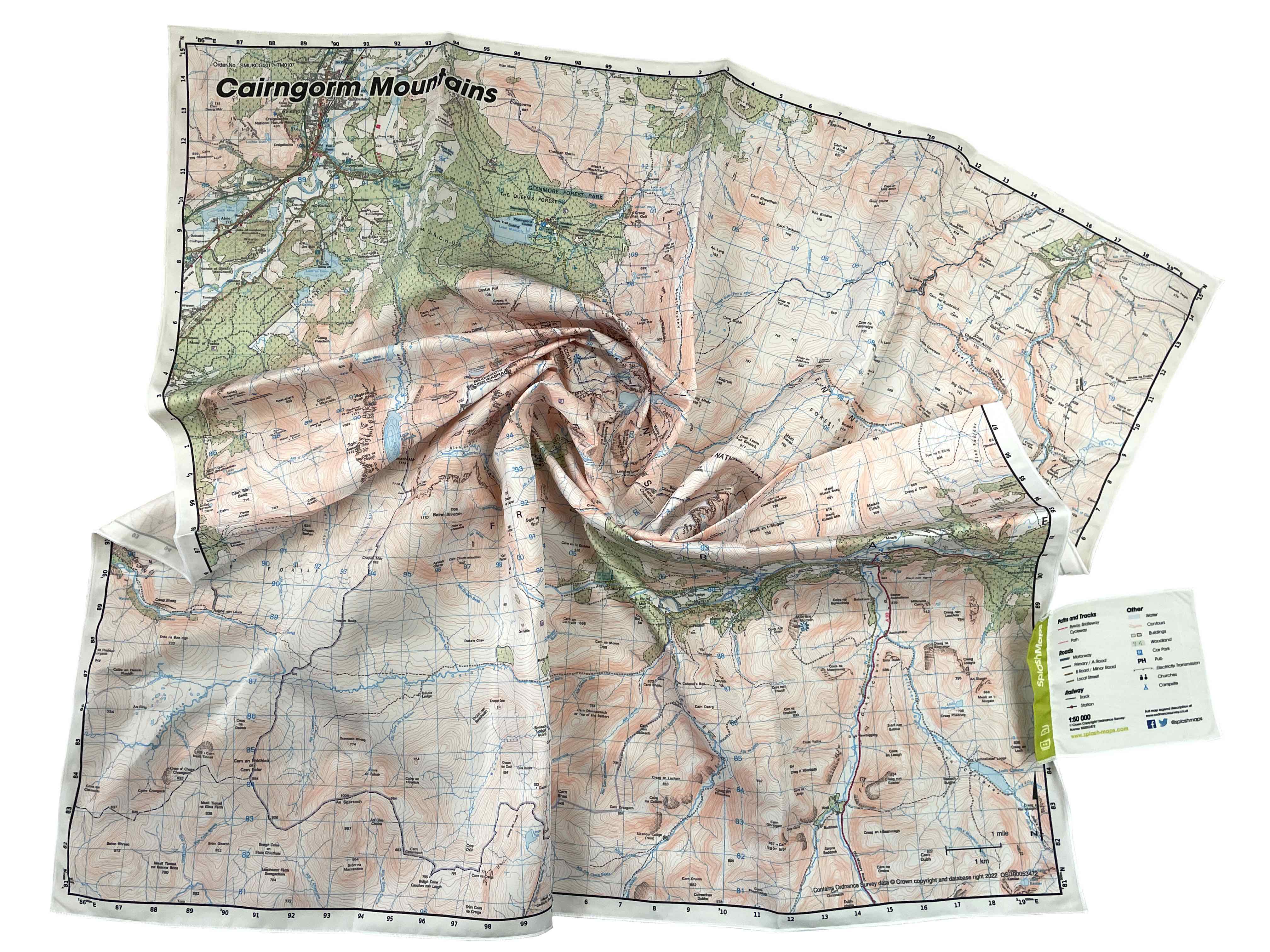
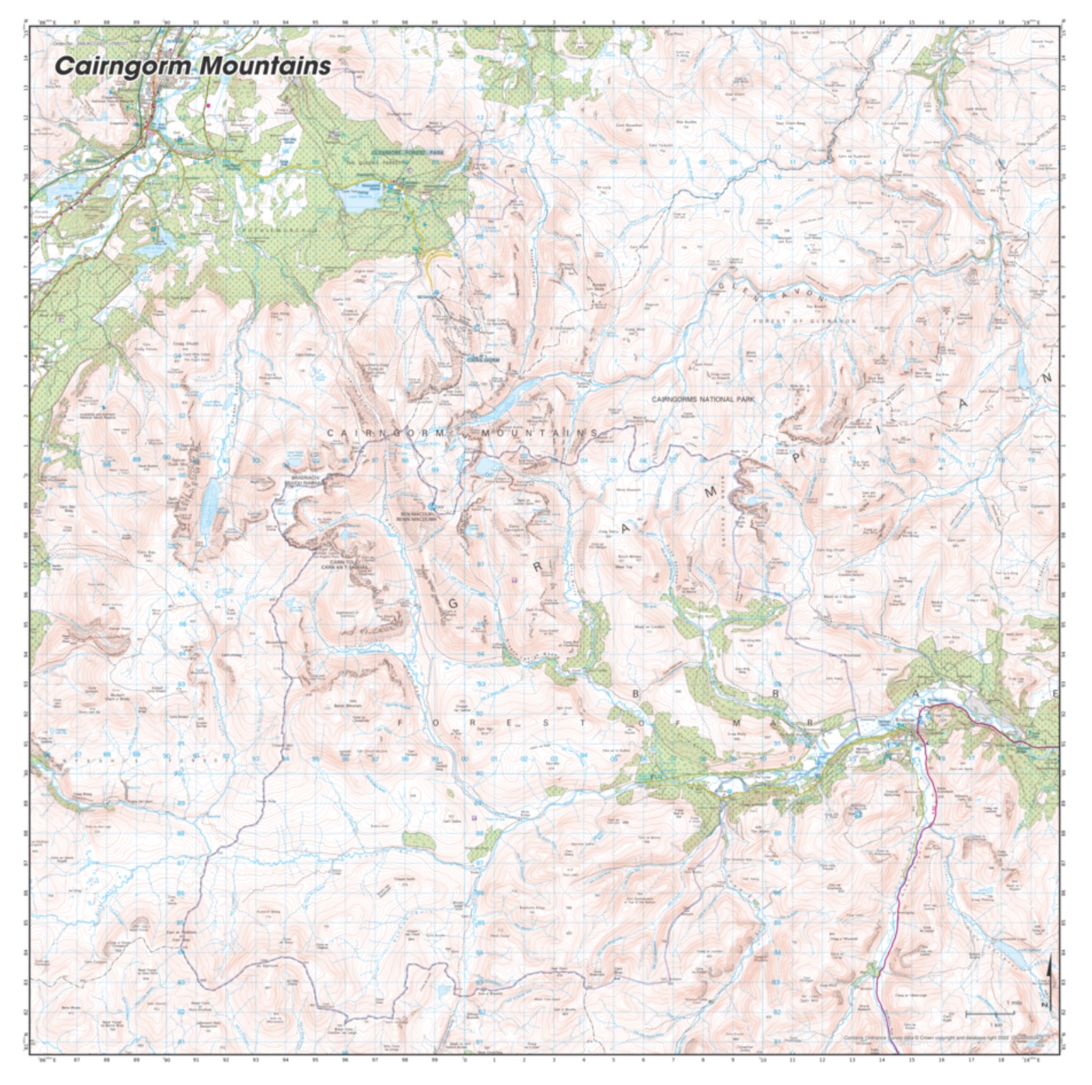
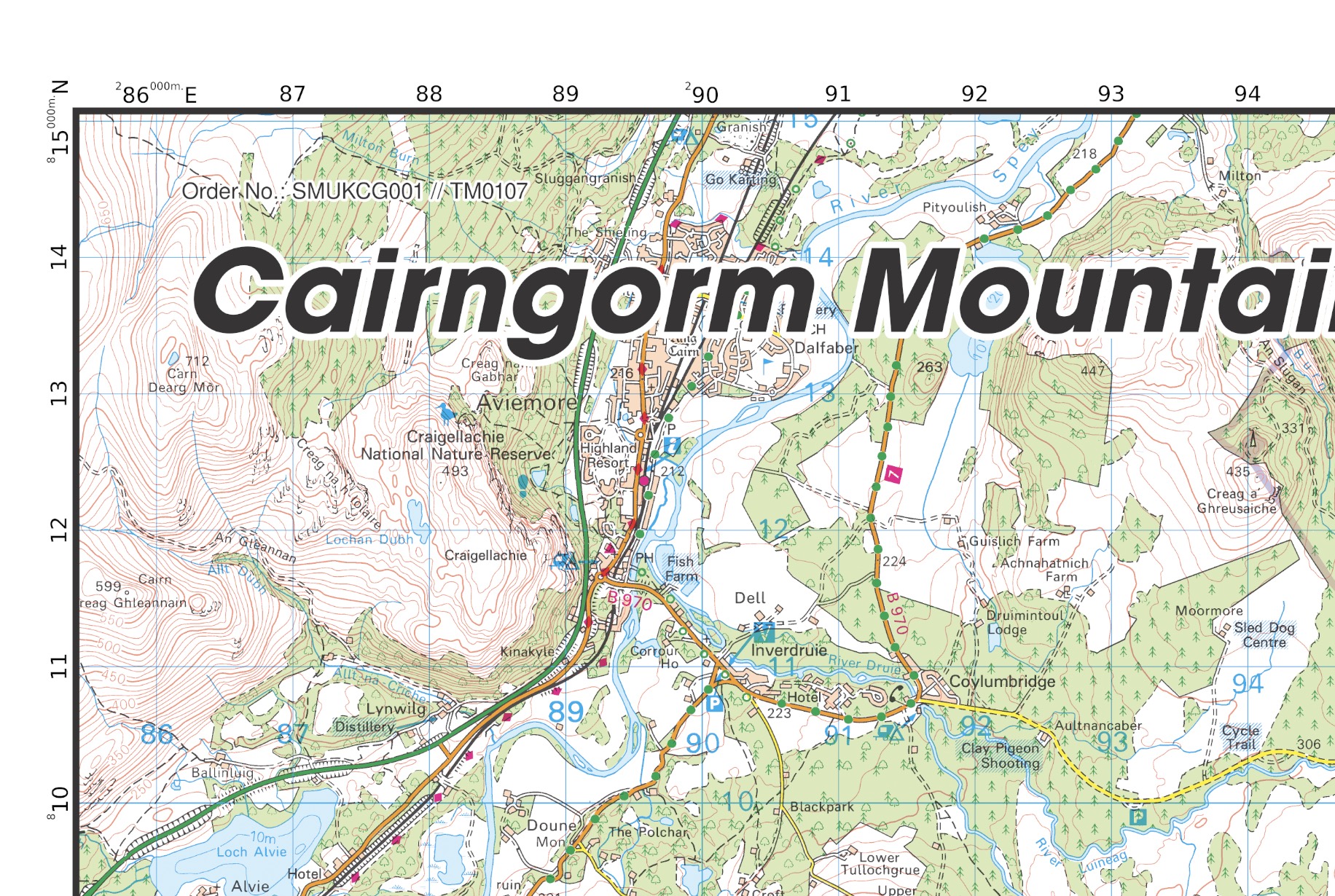
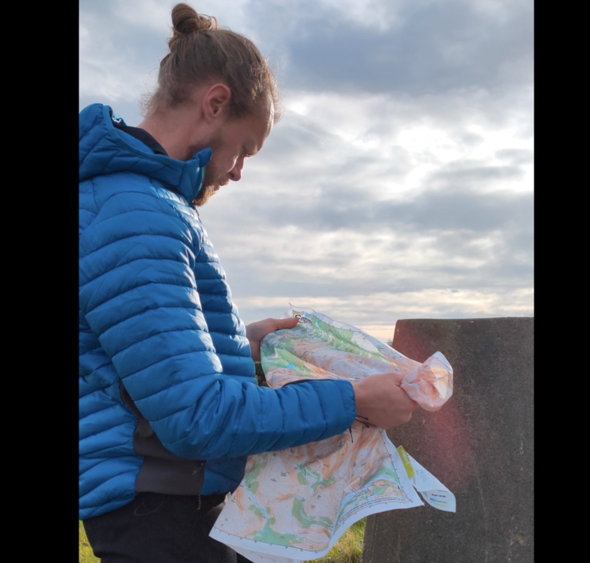
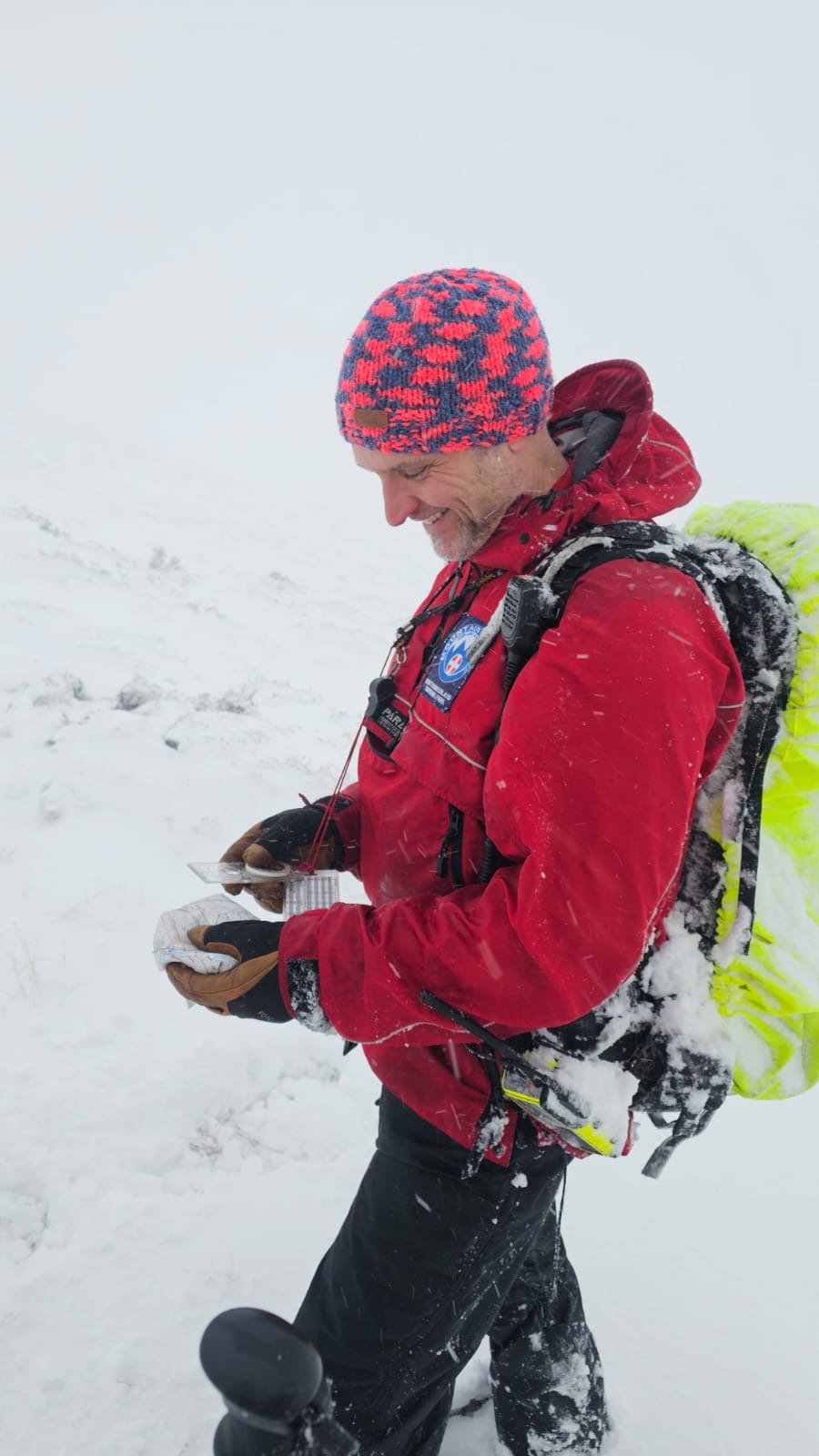

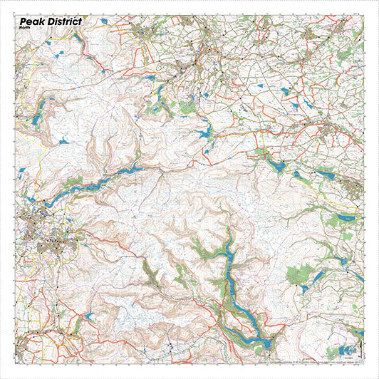
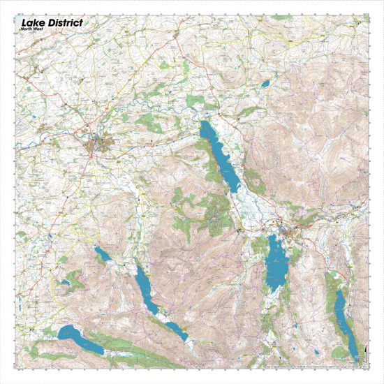
The Cairngorm Mountains Map by SplashMaps is a beautiful washable, weatherproof, wearable map, covering all the main destinations of the Cairngorms National Park. Thanks to our unique pro weatherproof, durable fabric it’s the most versatile, unfailing map money can buy. We’ve used the Ordnance Survey Landranger style for this Cairngorms Map so you can be super confident with up to date content. All the features you’d expect are super clear- like contours, the OS national grid, visitor attractions, walking and riding trails – so you can plan swiftly on wheels, feet or paddles. Popular symbols like pubs, car parks, churches and campsites mean navigating to your start and endpoints is a doddle. That’s why this Cairngorms Map enhances your whole outdoors experience.
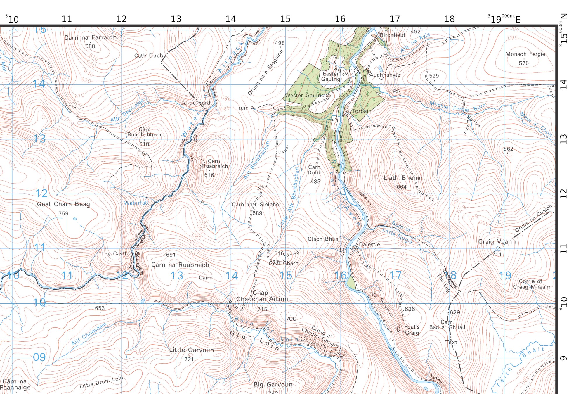
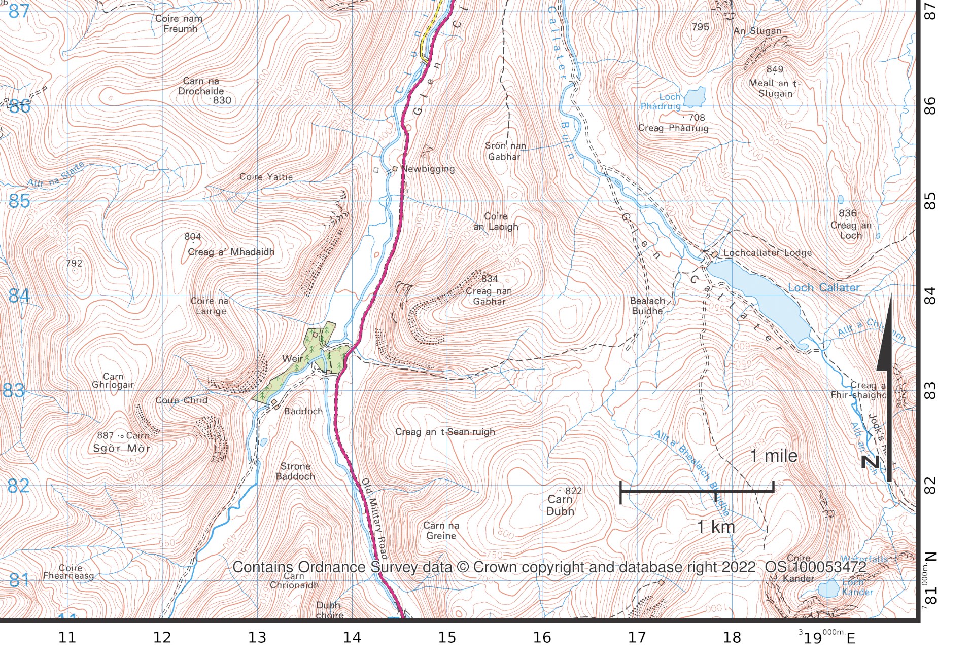
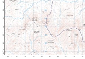
The Cairngorm SplashMap covers Aviemore in the North Western corner and Loch Callater in the South East and covers the most popular section of this National Park.
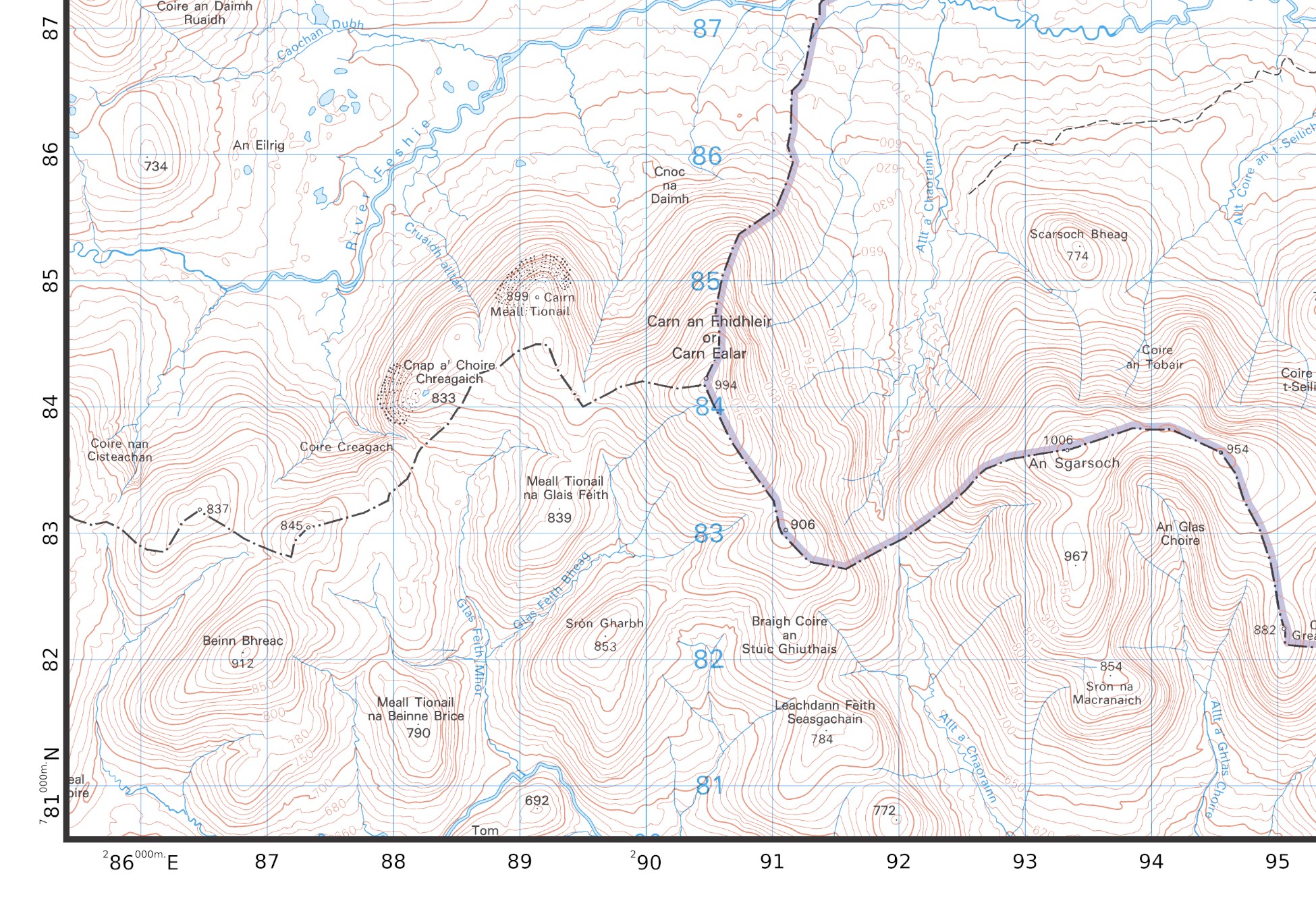
Ordnance Survey Cairngorm map at 50k here
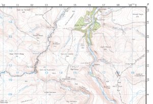
Ordnance Survey Cairngorm map at 25k here
Aviemore, Lynwilg, Loch Alvie, Loch an Eilein, Moor of Feshie, Invereshi and Inshriach National Nature Reserve, Carn Ban Mor, Monadh Mor, Carn Ealar, Glenmore Forest Park, Loch Morlich, Cairn Gorm, Ben Macdui, Braeriach, Ben Macdui, Glen Dee, Gael Charn, Glen Loin, River Avon, Cairngorms National Park, Stob Bac an Fhur, South Top, North Top, Beinn a Bhuird, Braemar, Morven, Inverey, Forest of Mar, Glen Callater, Carn Dubh, Glen Ey
National Grid Coordinates (Easting, Northing / Grid Reference):
Lower-left – 285500, 780600
Upper-right – 319800, 815100
Scale:
1:50,000
Dimensions on map:
34.5km x 34.5km
Size of product (including borders):
72cm x 72cm (approximately)
*Some images may depict a legacy style but are still representative of the benefits of our fabric map products.
Save
| Dimensions | 73 × 73 cm |
|---|---|
| Licence Holder | Ordnance Survey |
| Map Scale | 1:50 000 |
Only logged in customers who have purchased this product may leave a review.


Reviews
There are no reviews yet.