

$49


Available on backorder
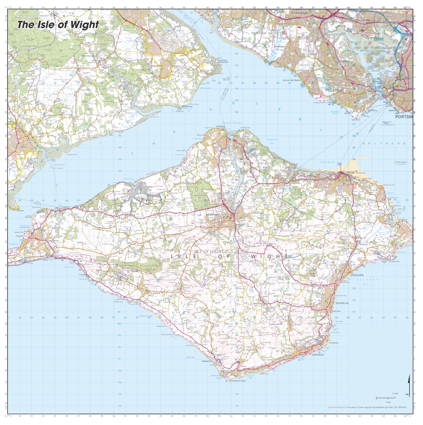
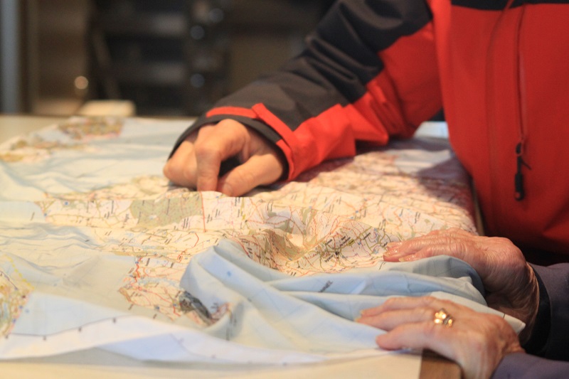
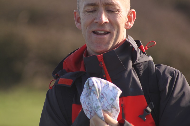
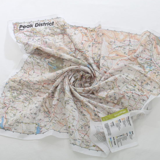
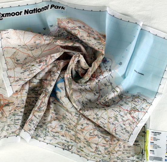
The Isle of Wight Map is a beautiful waterproof map of the Island off the coast of South East England. This SplashMap covers the bulk of the island and is designed for outdoor adventures. It’s made from a rainproof fabric and features the familiar Ordnance Survey Land Ranger Map contours including contours, the OS national grid, and all physical and many touristic details you’d expect. Because it’s a SplashMap it is the best for marking out a scenic circular route of the island.
The island is perfect for exploring by bike. With the best interconnected bridleway network in Britain it’s perfect for mountain bikes. The relative peacefulness of the roads and stunning Atlantic and Solent views mean it’s one of the country’s most popular road cycle tours.
The Isle of Wight maps show’s the island’s perfect location, off the south coast of the county of Hampshire. Could that be why it’s one of the most popular tourist destinations in England? The island is packed with interesting tourist sites and beauty spots. Whether you’re looking for a holiday by the beach or in a quaint village, the Isle of Wight offers so many options to explore.
Here’s our full guide on what makes the Isle of Wight an amazing explore!
Love to sail? Have you seen our Nautical charts? Sea proof of course. Start here.
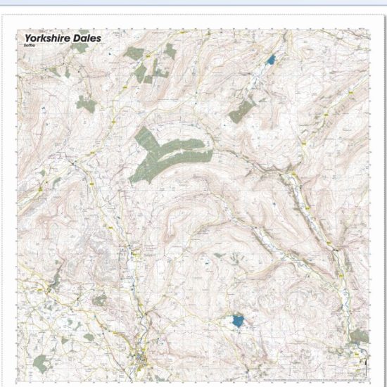
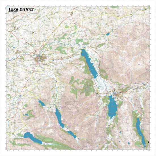
To map Isle of Wight detail in a way that captures the most relevant content for cyclists, walkers and runners we use Ordnance Survey’s popular Landranger Mapping at 1:50 000 to give you the optimum area to explore. Perfect for all your favourite activities.
Isle of Wight Map from Ordnance Survey 50k here
Isle of Wight Map from Ordnance Survey 25k here
KEY INFORMATION:
Major Settlements on the Isle of Wight map and points of interest:
Cowes, Newport, Yarmouth and Ryde, Brading, Sandown, Shanklin, Ventnor, Osborne House, the Needles on the western tip as well as Lymington and Gosport on the mainland.
National Grid Coordinates (Easting, Northing / Grid Reference):
Upper-right: 468250, 101100 / SU682011
Scale:
1:50,000
Dimensions on map:
34.5km x 34.5km
Size of product (including borders):
73cm x 73cm (approximately)
| Dimensions | 105 × 73 cm |
|---|---|
| Map Scale | 1:50 000 |
Only logged in customers who have purchased this product may leave a review.
Washable, wearable, all-weather worldwide Maps. Experience true confidence in your adventure.

| Cookie | Duration | Description |
|---|---|---|
| cookielawinfo-checkbox-analytics | 11 months | This cookie is set by GDPR Cookie Consent plugin. The cookie is used to store the user consent for the cookies in the category "Analytics". |
| cookielawinfo-checkbox-functional | 11 months | The cookie is set by GDPR cookie consent to record the user consent for the cookies in the category "Functional". |
| cookielawinfo-checkbox-necessary | 11 months | This cookie is set by GDPR Cookie Consent plugin. The cookies is used to store the user consent for the cookies in the category "Necessary". |
| cookielawinfo-checkbox-others | 11 months | This cookie is set by GDPR Cookie Consent plugin. The cookie is used to store the user consent for the cookies in the category "Other. |
| cookielawinfo-checkbox-performance | 11 months | This cookie is set by GDPR Cookie Consent plugin. The cookie is used to store the user consent for the cookies in the category "Performance". |
| viewed_cookie_policy | 11 months | The cookie is set by the GDPR Cookie Consent plugin and is used to store whether or not user has consented to the use of cookies. It does not store any personal data. |
Reviews
There are no reviews yet.