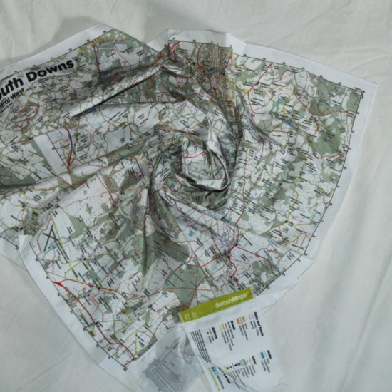
Description
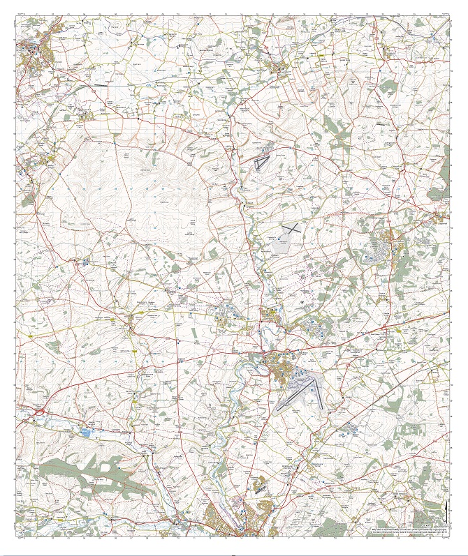
A beautiful fabric Salisbury Plain Map from SplashMaps covers the famous wilderness between Salisbury, Devizes & Burbage. The fabric map is designed for outdoor adventures and features contours, the OS national grid, walking and riding trails, clearly designated and numbered roads and water bodies on a washable, wearable, all-weather fabric map.
The Salisbury Plain Map from SplashMaps
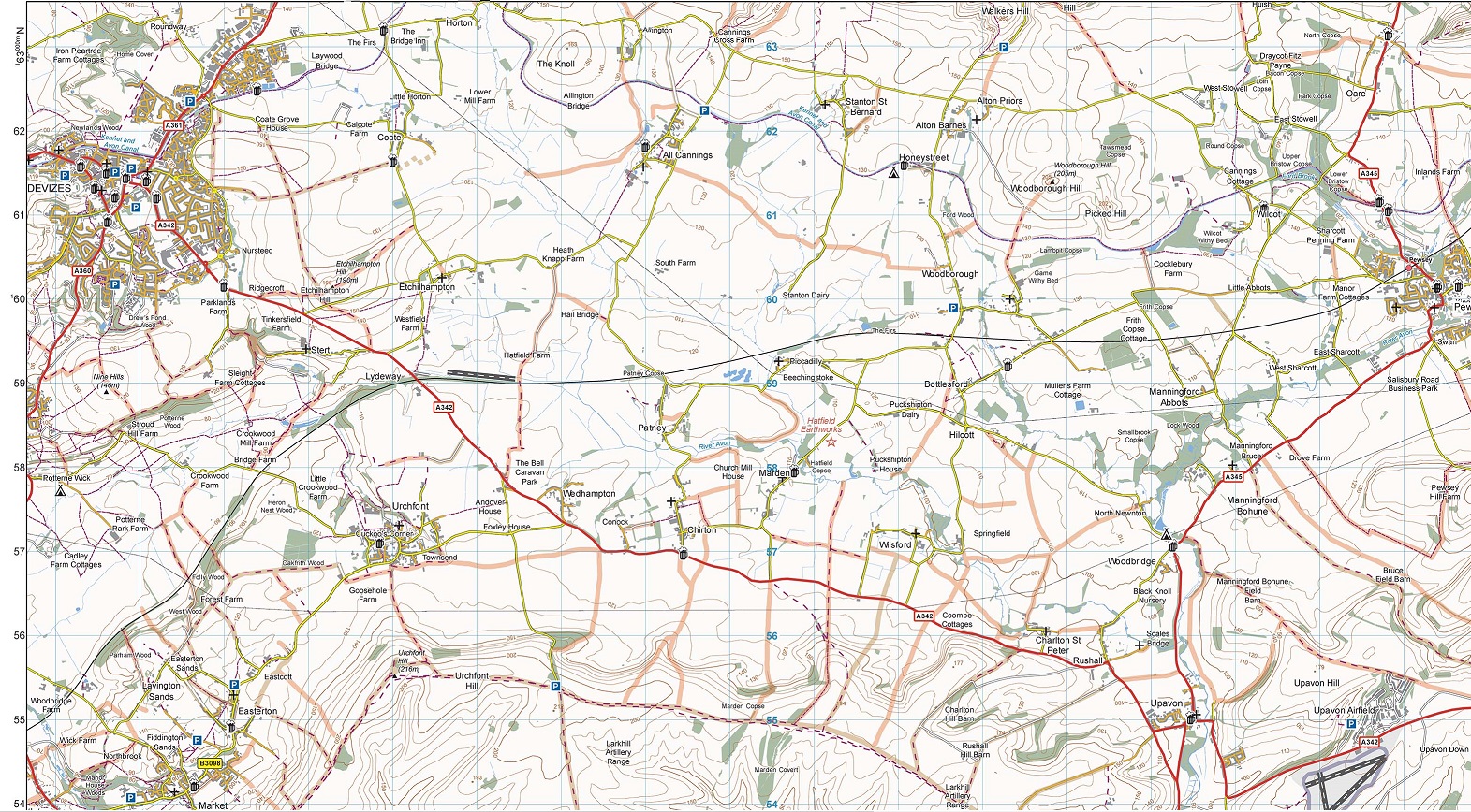
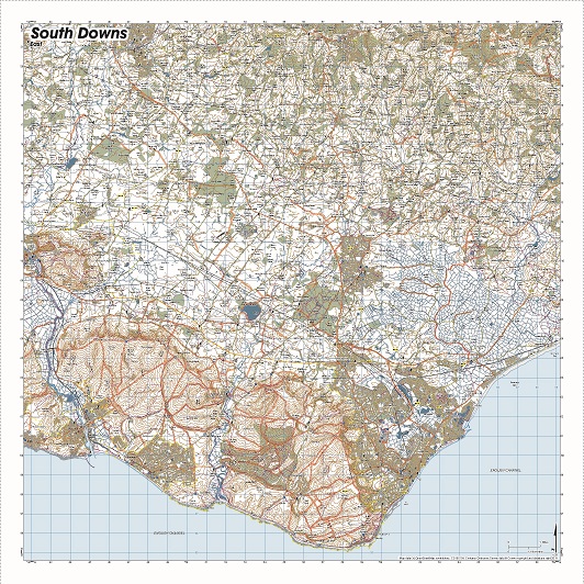
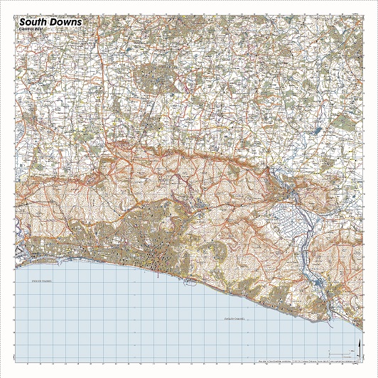
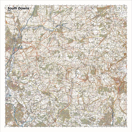
Our signature pub, car park, church and camping symbols make navigating to your start and end points a doddle. The Salisbury Plain Map from SplashMaps links our North Wessex Downs and Test Valley maps, thus connecting to our South Downs Maps and New Forest Maps. It’s becomes part of our uninterrupted “Downs” series of maps from Eastbourne to Devizes.
Our clear route designation differentiates and highlights Bridleways, Footpaths and Byways so you always know where you can walk and ride.
This map was positioned by Brian Huggins who regularly explores this area. Thanks, Brian!
KEY INFORMATION:
Major Settlements and features:
Salisbury, Devizes, Burbage, All Cannings, Chirton, Walkers Hill, Oare, Pewsey, Woodborough Hill, Honey Street, Woodbridge, Charlton St Peter, Wedhampton, Urchfont Hill, Urchfont, Heathy Close Lock, East Grafton, Milton Hill, Brunton, Upavon Airfield, Netheravon Airfield, Weather Hill, Luggershall, Perham Down, Sidbury Hill, Durrington, Amesbury, Idmiston, Battery Hill, Winterbourne Hills, Old Sarum, Middle Winterslow, Pitton, Quidhampton, Baverstock, Dinton, Grovely Wood, Hanging Langford, Deptford, Wylye, River Avon, River Wylye, Shrewton, Winsdown Camp, Larkhill
National Grid Coordinates (Easting, Northing / Grid Reference):
Lower-left –399600, 130500
Upper-right – 427200, 163300
Scale:
1:40,000
Dimensions of the map:
30.0km x 35.6km
Size of product (including borders):
75cm x 89cm (approximately)
Only logged in customers who have purchased this product may leave a review.


Brian Huggins (verified owner) –
I spend a lot of time trail riding in the area covered by this map. As most people know, the area is owned and used by the army for training and some parts are ‘no go’. This excellent map enables riders to plan their route, find new routes and stay out of trouble.