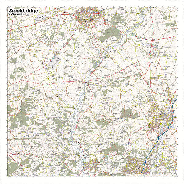

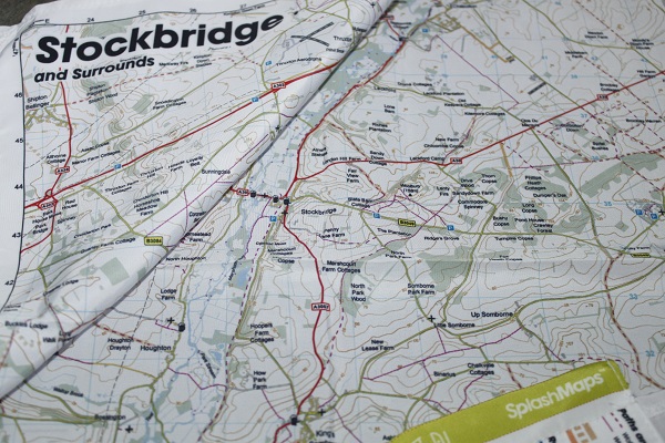
A beautiful fabric Test Valley Map from SplashMaps centred on the Hampshire town of Stockbridge and covering the region from Andover to Romsey in Hampshire. The Map is designed for outdoor adventures and features contours, the OS national grid, walking and riding trails, clearly designated and numbered roads and water bodies on a washable, wearable, all-weather fabric map. See it in action:
Our signature pub, car park, church and camping symbols make navigating to your start and end points a doddle. This map links our South Downs and New Forest series maps creating an uninterrupted southern series of maps from Eastbourne to Dorchester.
KEY INFORMATION:
Major Features:
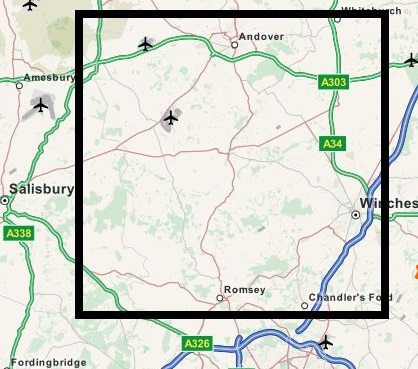
Winchester, Chandler’s Ford, Romsey, Stockbridge, Andover, North Baddersley, Hampshire,Middleton, West TytherleyEast Tytherley, Chilbolton, Hursley, Longparish, Shipton Bellinger, Sutton Scotney, MiddelWinterslow, Danebury Hill, Deans Hill, Dunbridge, Houghton, Crawley, Farley Mount, Mottisfont

 National Grid Coordinates (Easting, Northing / Grid Reference):
Lower-left – 422800, 1200000
Upper-right – 4500200, 147300
Scale:
1:40,000
Dimensions on map:
27.6km x 27.6km
Size of product (including borders):
72cm x 72cm (approximat
Save
| Dimensions | 73 × 73 cm |
|---|---|
| Map Scale | 1:40 000 |
Only logged in customers who have purchased this product may leave a review.


Reviews
There are no reviews yet.