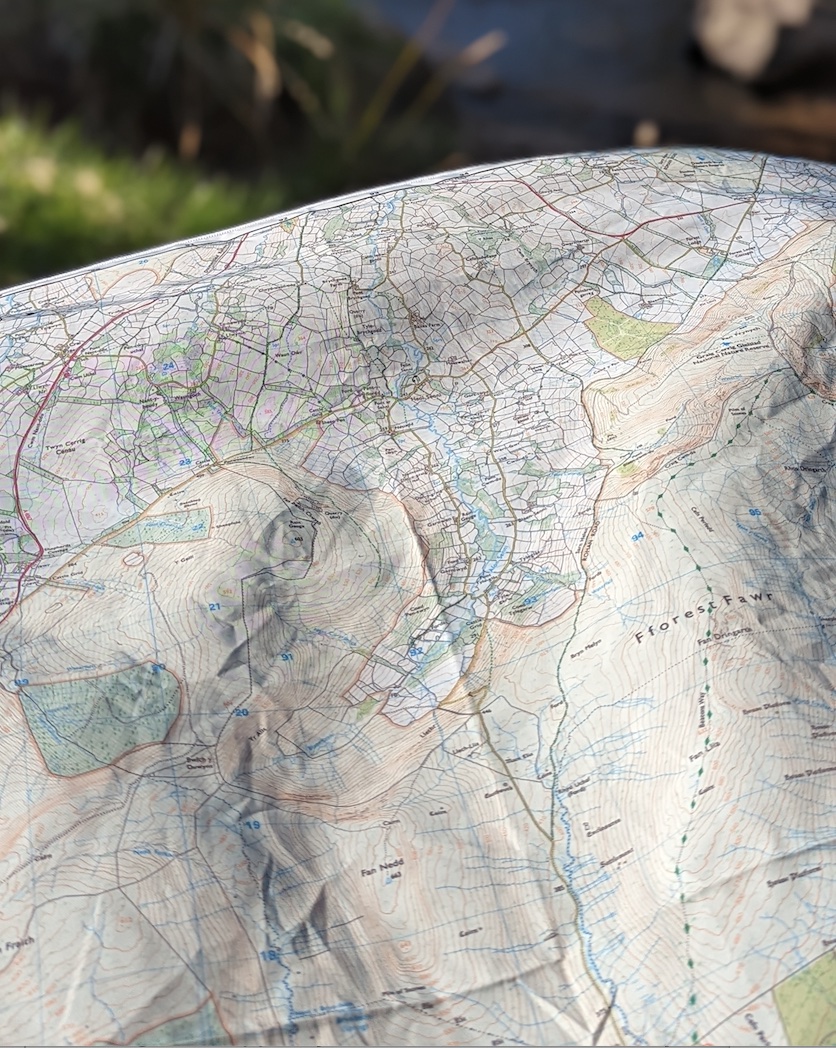

The SplashMaps Brecon Beacons Map covers the town of Brecon and the Bannau Brycheiniog /Brecon Beacons National Park in South Wales. The sharp escarpments of Pen y Fan – the highest peak in South Wales – are captured beautifully in our contours and ornamentation with the best walking and cycling routes clearly marked. The Map extends to the Sennybridge military training area.
The map is centred on Brecon itself with over 700 square kilometres of open countryside covering an extensive part of this dramatic national park full of splendid views.
This map has been tested by Outside your comfort zone’s lead instructor.
Aberhonddu/Brecon, Talgarth, Garreg Fawr, Cern Trum yr Hwch, Lysen, Pipton, Bronllys, Ga er Fach, Cefn Bola Meen, Defynnog, LLanfrynach, Pen y Fan, Y Glm, Bwichar y Fan, Offa’s Dyke Path, the Black Mountains, tourist information, Bannau Brycheiniog, Sennybridge, Sennybridge training area
![]()
Lower-left – 290000, 213000
Upper-right – 317600, 240600
Scale:
1:50,000
Dimensions on map:
34.5km x 34.5km
Size of product (including borders):
72cm x 72cm (approximately)
Ordnance Survey data
Save
Save
| Weight | 0.06 kg |
|---|---|
| Dimensions | 72 × 72 cm |
| Map Scale | 1:50 000 |
Only logged in customers who have purchased this product may leave a review.


Reviews
There are no reviews yet.