Description
Dartmoor Map for unlimited adventure
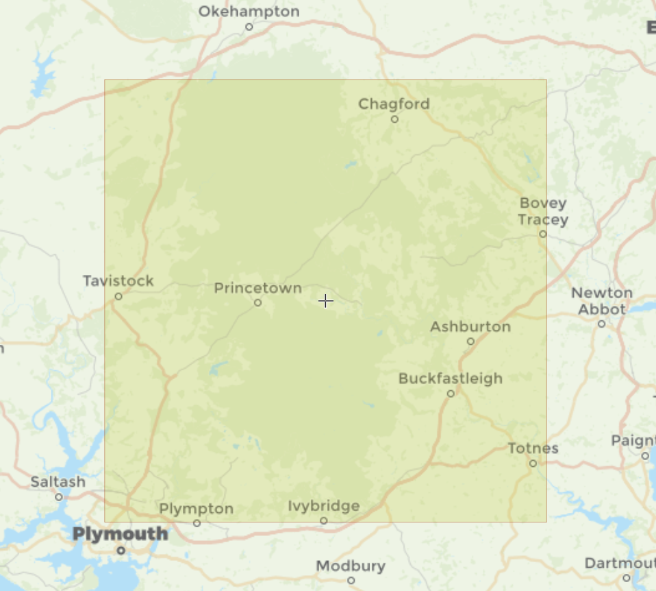
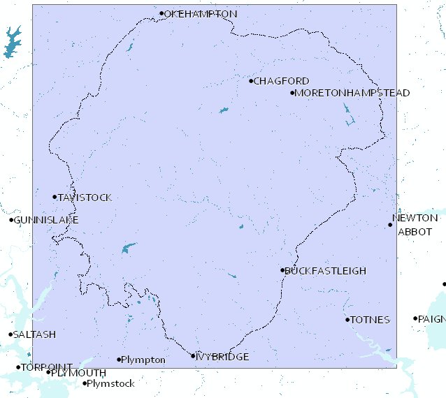
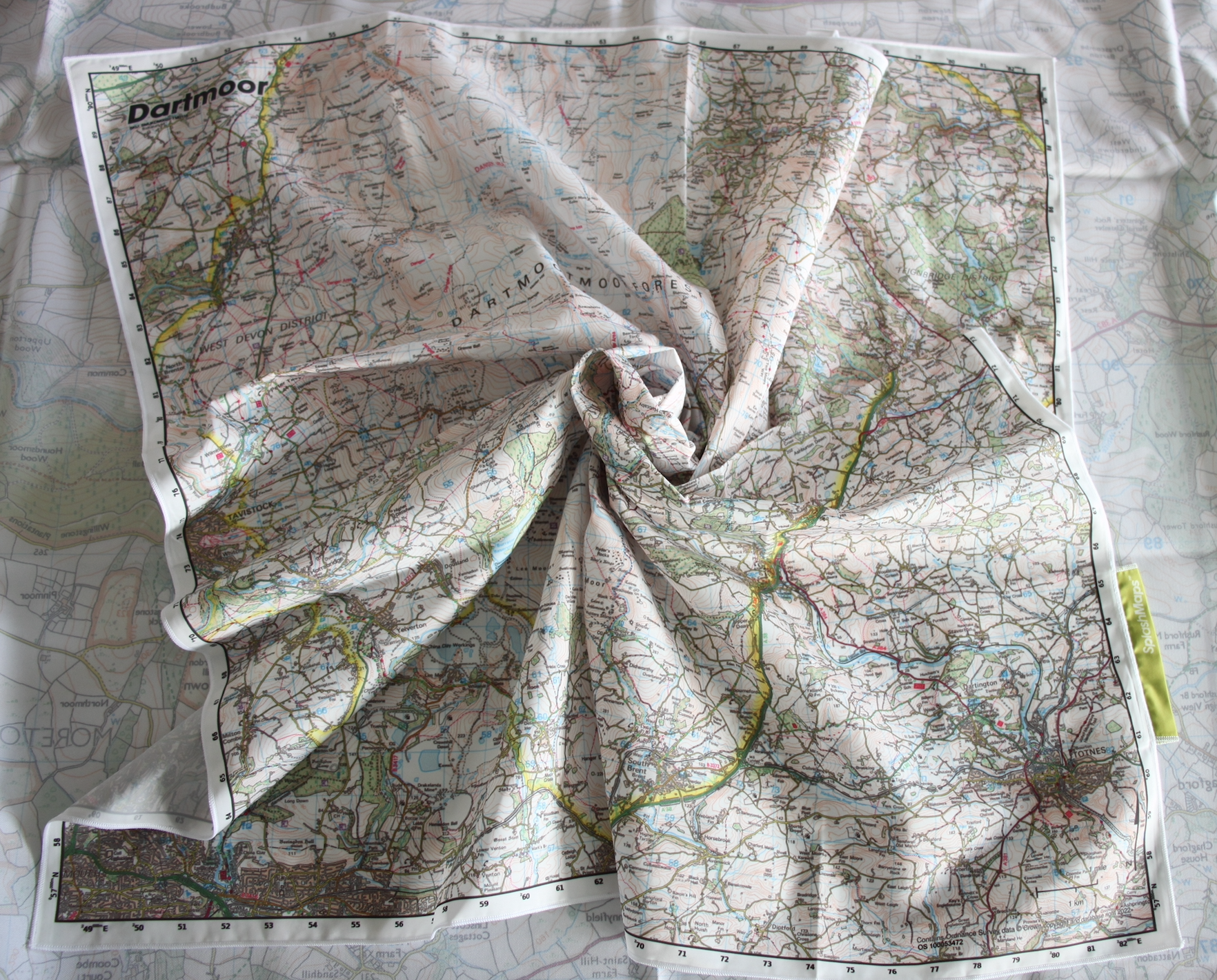
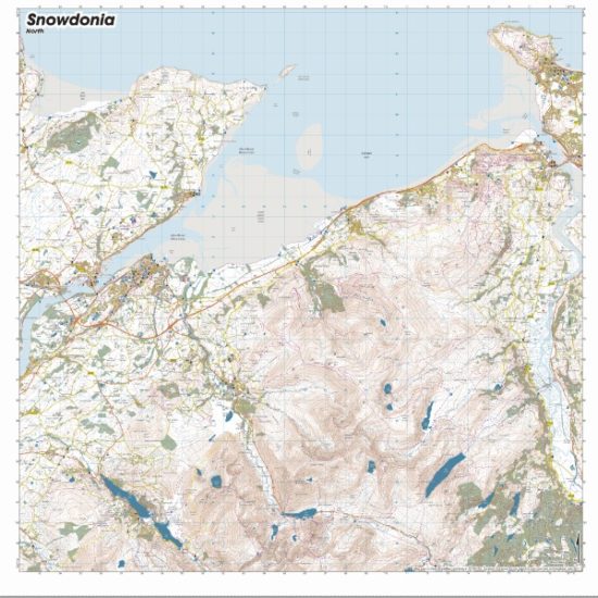
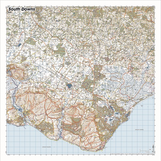
The Map of Dartmoor SplashMap enjoys huge coverage, encompassing almost the entire park at a scale of 1:50,000. Visitors can explore the Tors and ancient stone monuments scattered throughout this wild country.
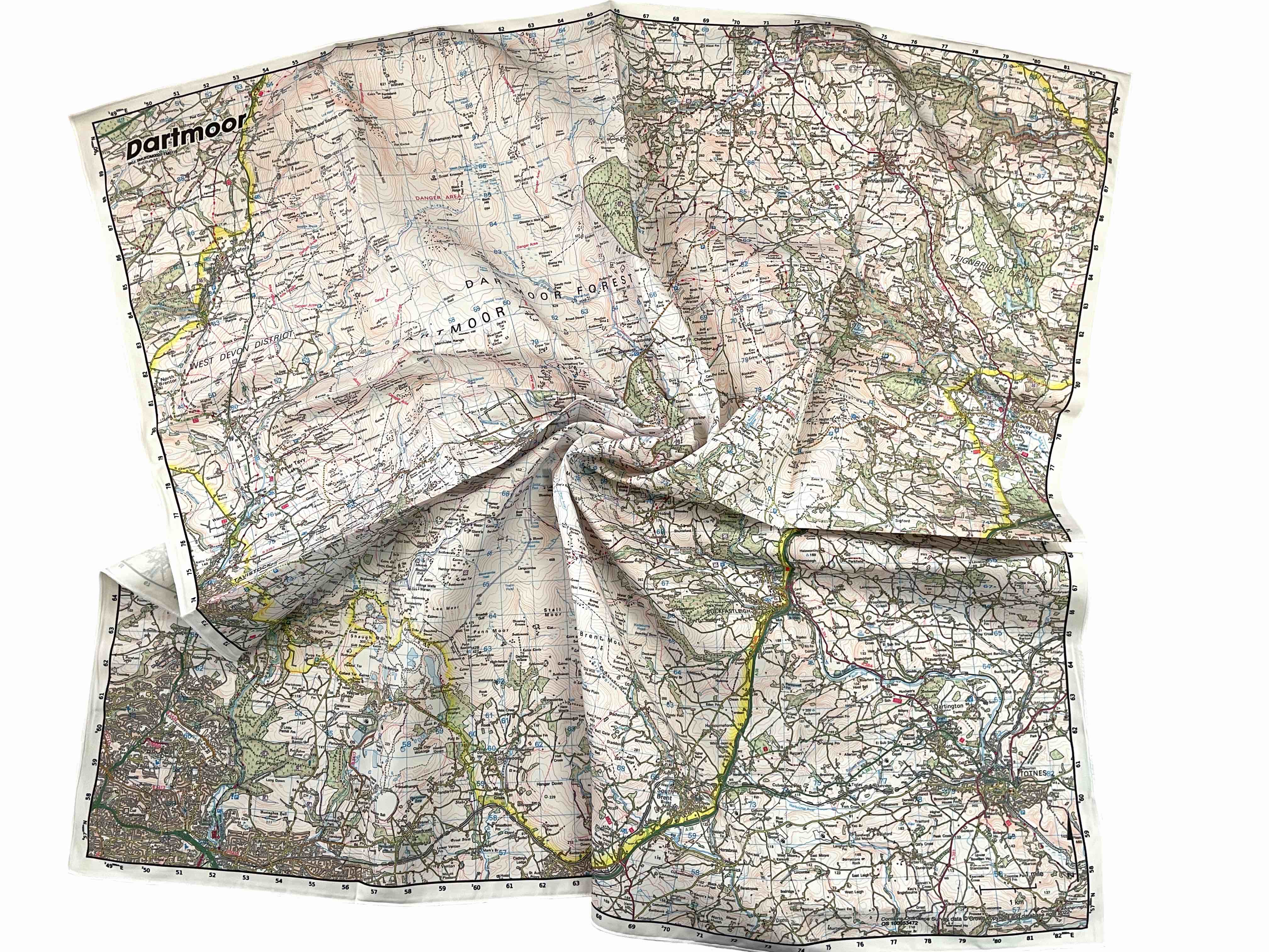
Ordnance Survey Map of Dartmoor on fabric
Get yourself from A to B using the well-trusted Ordnance Survey Landranger map on fabric. Additionally, our map is printed onto waterproof fabric, making it versatile for outdoor adventures. It can be worn as a scarf or conveniently stuffed in a pocket, providing easy access when needed. With our map, there’s no need to carefully fold, simplifying your navigation experience.
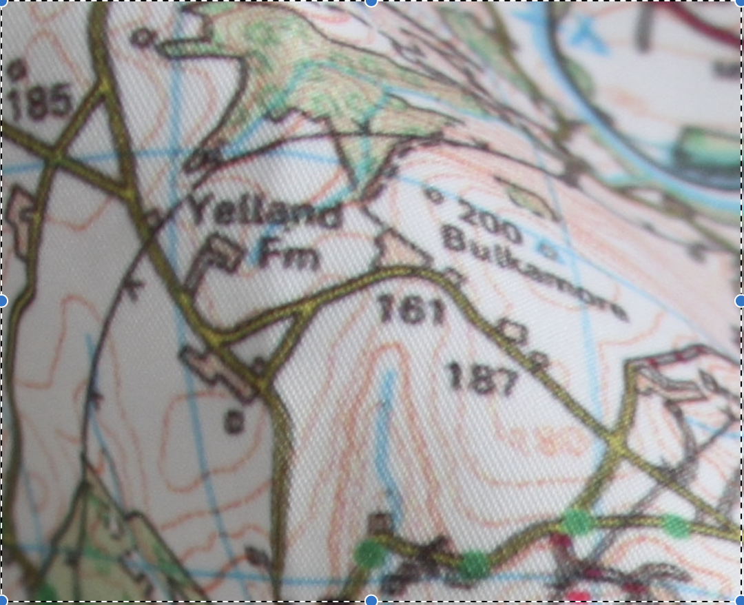
Highly detailed content
The content of our Map of Dartmoor SplashMap includes bridleways and byways, along with all the fine detail you expect from the UK’s National Mapping Agency. Moreover, it’s ideally suited for two feet, two wheels, or 4 hooves.
Map of Dartmoor KEY INFORMATION:
Major Settlements:
Chagford, Buckfastleigh, Ivybridge, Tavistock, Totnes, Plympton, Ashburton, Buckfastleigh, Moretonhampstead, Princetown, Yelverton, Horrabridge, South Brent, Christow, Drewsteignton, Bovey Tracey, Plymouth, Milton Combe, Tavistock, Mary Tavy, Lydford
More Map of Dartmoor SplashMaps
Each of these Maps of Dartmoor & nearby can be moved, retitled and different scales applied. Jump to the links, check the detail covered and set up our ideal positioning or simply choose your own in our simple map maker!
A 50k Map of Oakhampton and Dartmoor here
A 25k Map of Princetown and Tavistock here
A 50k Map of Dartmoor and the coast here
National Grid Coordinates (Easting, Northing / Grid Reference):
Lower-left – 248500, 056500
Upper-right -282500, 090500
Scale:
1:50,000
Dimensions on map:
34.5km x 34.5km
Size of product (including borders):
73 x 73cm (approximately)
Only logged in customers who have purchased this product may leave a review.


Richard Matthews –
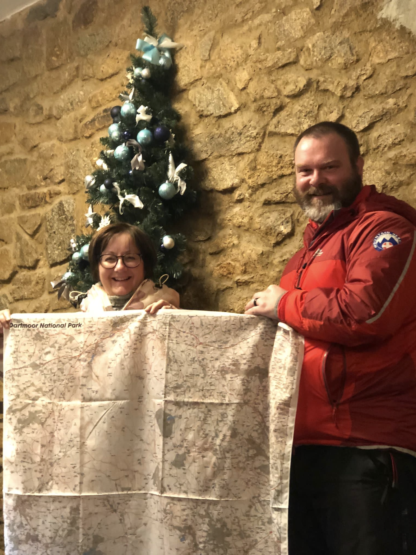
I use my Splash map of Dartmoor leading groups for Ten Tors and private groups. It’s so easy to take out and use without having to worry about maps flapping in the wind. Better still it’s multi functional. I use mine as a scarf regularly.
Nyle –
In an ideal world, I would love the ability the print a Harvey map onto Splashmap fabric, enhanced with a few features from OS Explorer as well as personal additions such as grid reference markings and simpler route symbology. Fat chance you say, but why not? These companies complement each other’s offerings, and with ever more accessible digital data and printing technologies (3D scaled models, anyone?) it doesn’t take a huge leap for someone to rearrange (and license) the relevant bits to create new magic.
David Overton –
Hi Nyle
Thanks for this, and sorry for the delay getting back. We license all the best maps and have access to the digital data to make our own. But these companies (Harveys for example) have nailed their niche. We find the only thing that’s missing for the majority is right substrate to print onto. So that’s what we bring to the party. If you have a great map image you’d like us to print, sent it over and we can introduce you to our prototyping service.
I’d like to invite you to join a future Geomob. It’s an event we sponsor where bigger brains than ours get to chew over the sort of ideas you shared here. Let me know if this is of interest!
Thanks for taking time to contact us!
All best
David
Simon Leishman –
Phenomenal service. A change of order was swiftly dealt with and the following driver fast too.
A truly great experience as a customer.
The Dartmoor Splash Map is an awesome bit of kit.