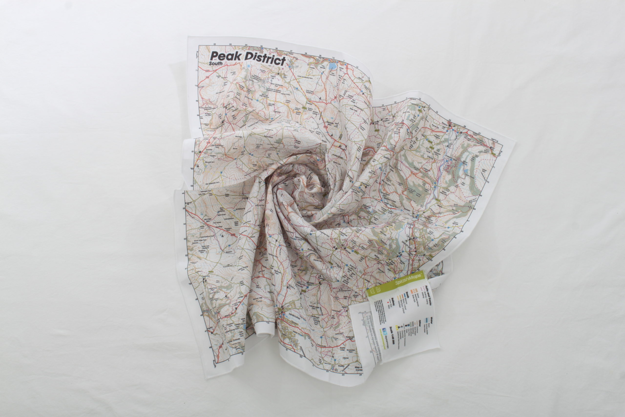
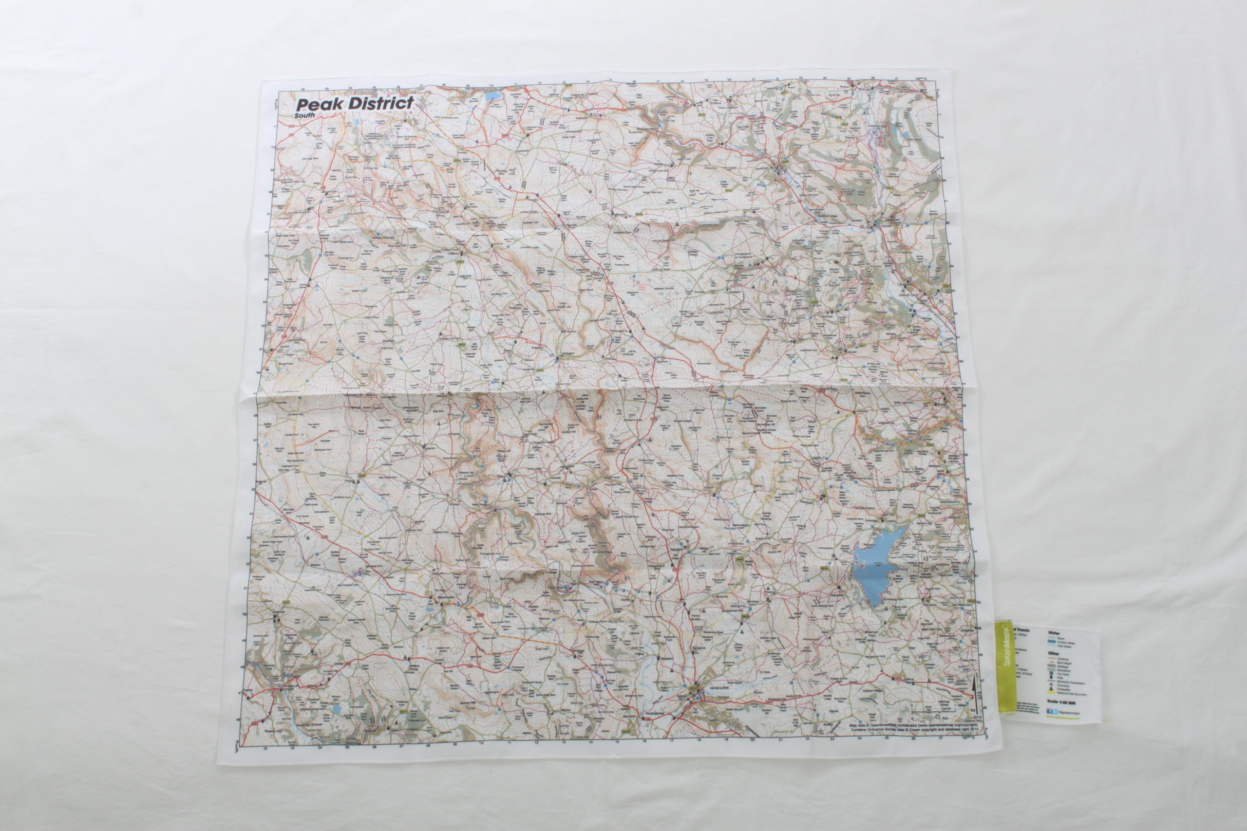

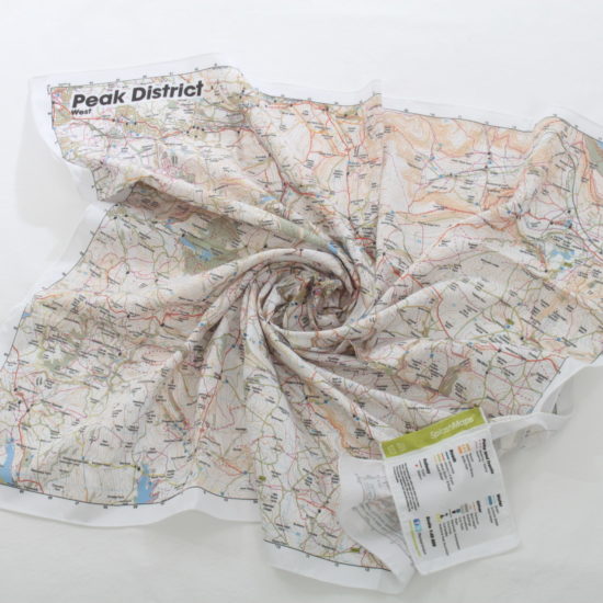
This Peak District Map South from SplashMaps is a beautiful map of the Southern section of the Peak District National Park. Because of our selection of fabrics, this weather-proof fabric map is perfect for any adventure. It features contours, the OS national grid, walking and riding trails, clearly designated and numbered roads and water bodies. Thanks to our signature pub, car park, church and camping symbols navigating to your start and end points is a doddle.
SplashMaps offer full coverage of this beautiful National Park. Each Peak District map – 4 in our unique 40k scale series – highlights your rights of way and simplifies adventure planning. But, if you love that traditional Ordnance Survey Peak District Map, don’t forget you can design 1:50k or 1:25k Peak District maps in 10 different formats centred on anywhere.
Ordnance Survey Peak District Map at 50k here
Ordnance Survey Peak District Map South at 25k centred on Bakewell here
The Peak District is the UK’s original National Park, formed as a result of the mass trespass on Kinder Scout in 1932. The inspiration for many of Britain’s famous mountaineers and explorers, it now hosts some of the country’s finest hiking and mountain bike trails.
SplashMaps is proud to be a Partner of the Peak District National Park Foundation. We contribute 10% of all sales originating from their site to improving accessibility on the trails.
![]()
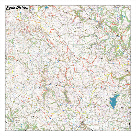
To map the Peak District detail in a way that captures the most relevant content for cyclists, walkers and runners means combining the best available location data. Because we use Ordnance Survey’s open data and resample it at 1:40k you get the optimum exploration area. The full compliment of the pathways are included thanks to extra data from OpenStreetMap which we’ve overlaid with the official byways and bridleways from the local authority. This makes our unique destination series style, specifically designed around your favourite activities.
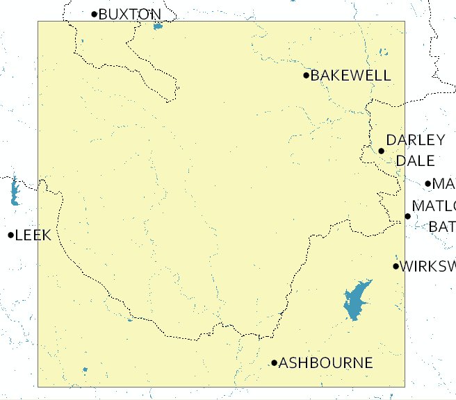
Ashbourne, Bakewell, Darley Dale, Chelmorton, Booth Hill, Fox Low, Hollins Hill, Sterndale Moor, Over Hill, Head Ridge Head, Over Boothlow, Crowdicote, Alderly Cliff, Longnor, Earl Sterndale, Hill North Top, Sheen Hill, Hitter Hill, Spink, Onecote, Butterton, Warslow, Ecton Hill, Wetton, Narrowdale Hill, Ipstones, Foxt, Kingsley and Froghall, Cotton, Waterhouses, Hoften’s Cross, Musden Low, Thorpe, Fenny Bentley, Kniveton, Hognaston, Hulland Ward, Kirk Ireton, Brassington, Wirksworth, Youlgrave, Stanton in Peak, Birchover, Elton, Baslow, Hassop, Great longstone, Little Longstone, Taddington, Sheldon, Monyash, Arbor Low Stone Circle, Pennine Bridleway, Parwich
The SplashMap Peak District Map South coverage is an ideal replacement to your Ordnance Survey White Peak paper map. Our Peak District Maps offer full coverage of the Park.
Lower-left – 401000, 345000
Upper-right – 428600, 372600
1:50,000
34.5km x 34.5km
72cm x 72cm (approximately)
| Dimensions | 72 × 72 cm |
|---|---|
| Map Scale | 1:50 000 |
Only logged in customers who have purchased this product may leave a review.


Reviews
There are no reviews yet.