![Splashmaps_v26 - Exmoor (West) [Titles]](https://www.splash-maps.com/wp-content/uploads/2013/04/2013-04-10_exmoor_west_tn.jpg)

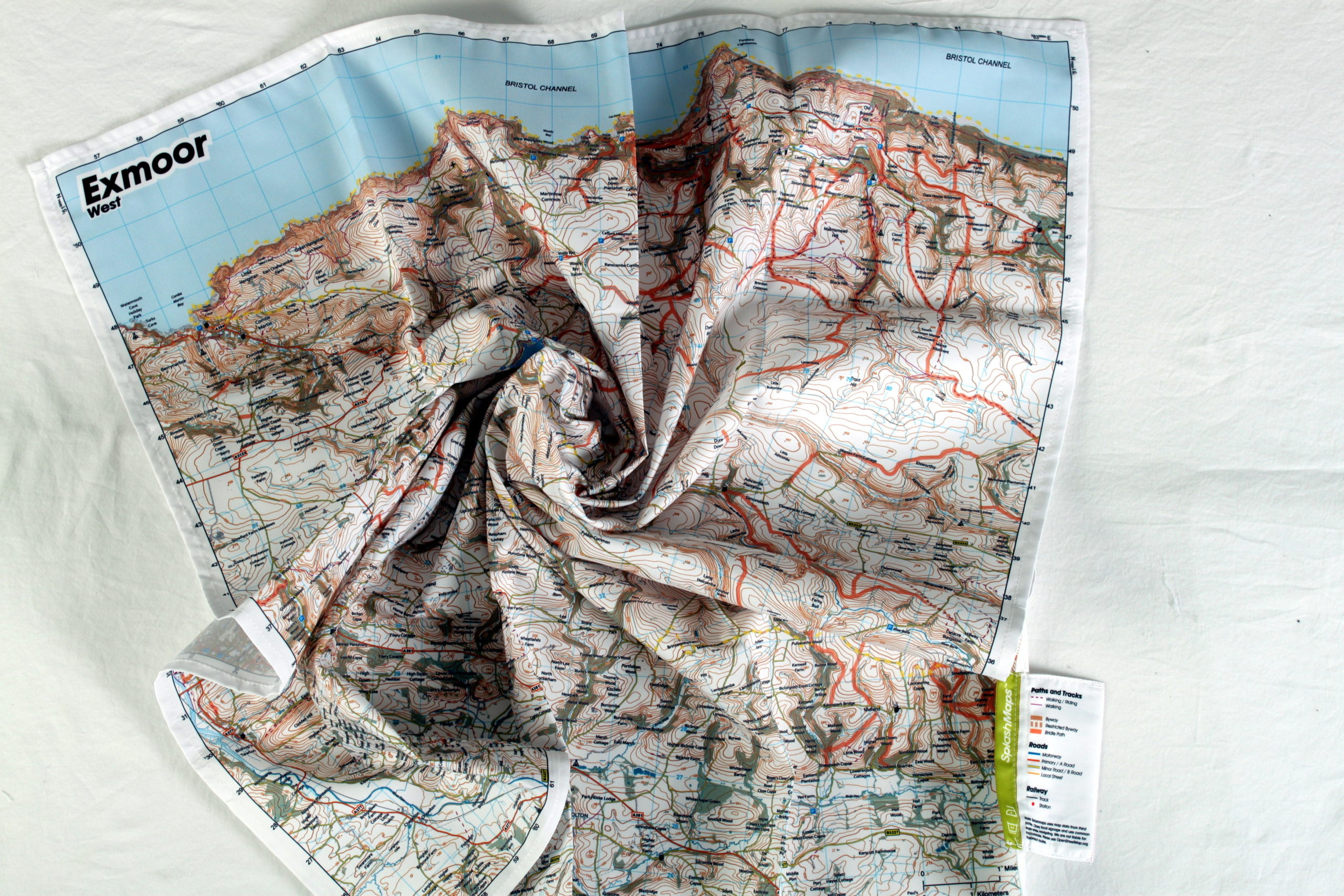
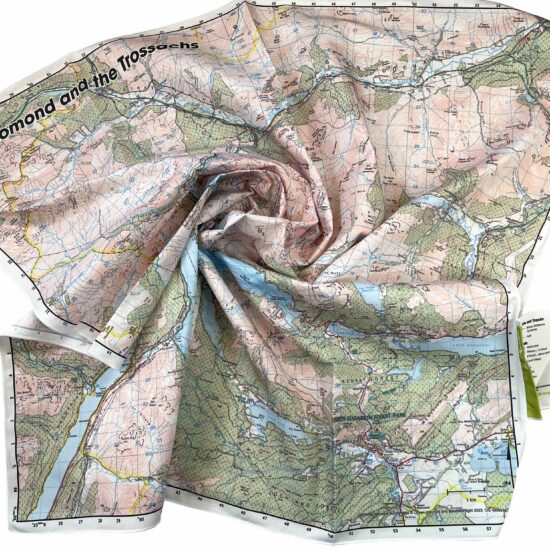
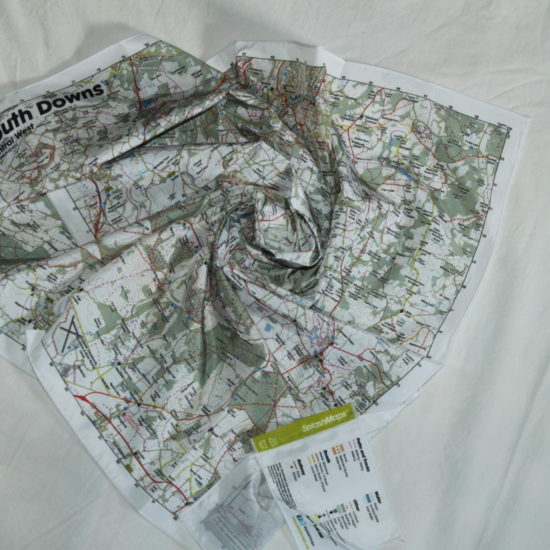
A beautiful Ordnance Survey map of the western half of the Exmoor National Park. The Exmoor Map West SplashMap is made from a weatherproof fabric and is designed for outdoor adventures. It features contours, the OS national grid, walking and riding trails, clearly designated and numbered roads and water bodies. Our signature pub, car park, church and camping symbols make navigating to your start and end points a doddle.
KEY INFORMATION:
Major Settlements:
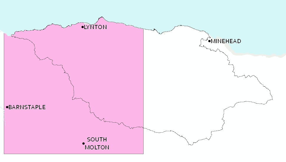
Barnstaple, Lynton, South Molton, Exmoor, Combe Martin, Berrynarbor, South West Coast Path, Great Hangman, Martinhoe, Lynmouth, North Molton, Barbrook, Woody Bay, Parracombe, Goodleigh, Landkey, Hangmans Hill, Glenthorne Beach, Woody Bay
National Grid Coordinates (Easting, Northing / Grid Reference):
Lower-left – 256000, 124000 / SS560240
Upper-right -283600, 151600 / SS836516
Scale:
1:50,000
Dimensions on map:
34.5km x 34.5km
Size of product (including borders):
72cm x 72cm (approximately)
See also: Dorset Coast Maps
| Dimensions | 72 × 72 cm |
|---|---|
| Map Scale | 1:40 000 |
Only logged in customers who have purchased this product may leave a review.


Reviews
There are no reviews yet.