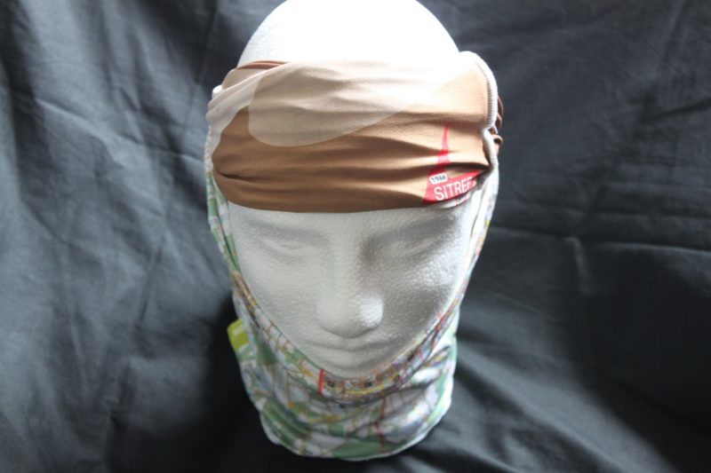

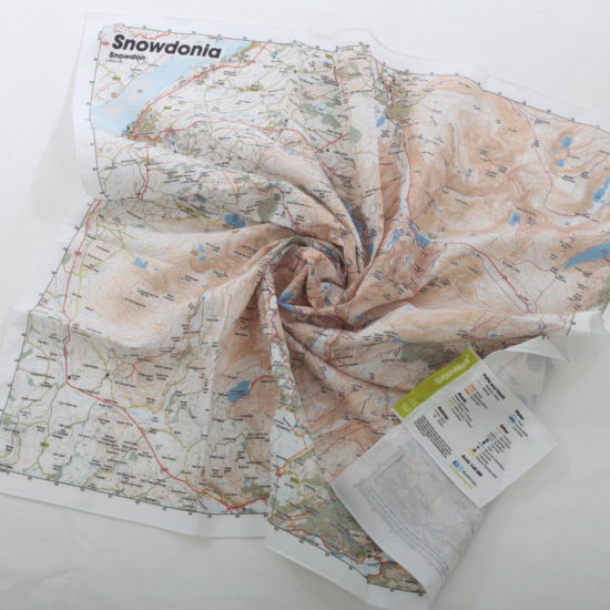
 Our SplashMaps Toob is printed onto a fine and stretchy microfibre and formed into a hoop to be worn around the head, neck or wrist.
This one is double sided with camouflage on the opposite side to the map and the Sitrep logo for ex-service men and women.
The map covers the central part of our Brecon Beacons SplashMap at a scale of 1:40 000. Visit the famous training grounds and amazing hiking trails through the Mountains in this beautiful country. And get yourself from A to B using some of the clearest cartography you’ve ever seen. The content of our Brecon Beacons map includes essential path and bridleway detail. It’s ideally suited for two feet, two wheels or 4 hooves.
KEY INFORMATION:
Major Settlements:
Brecon, Pen-y-Fan, Defynnog, Sennybridge, Pentwyn Reservoir, Allt Lwyd, Waun Rydd, Talybont Forest
National Grid Coordinates (Easting, Northing / Grid Reference):
Upper-right – 309400, 231100
Scale:
1:40,000
Dimensions on map:
18.9km x 20.4km
Size of product (including borders):
50 x 46 cm (and stretches considerably)

| Dimensions | 50 × 50 cm |
|---|---|
| Map Scale | 1:40 000 |
Only logged in customers who have purchased this product may leave a review.


Reviews
There are no reviews yet.