
Product Description
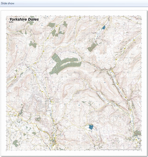
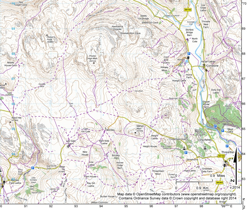
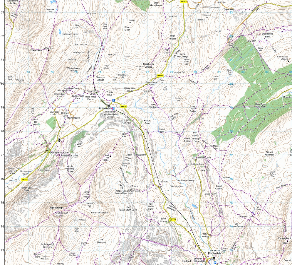
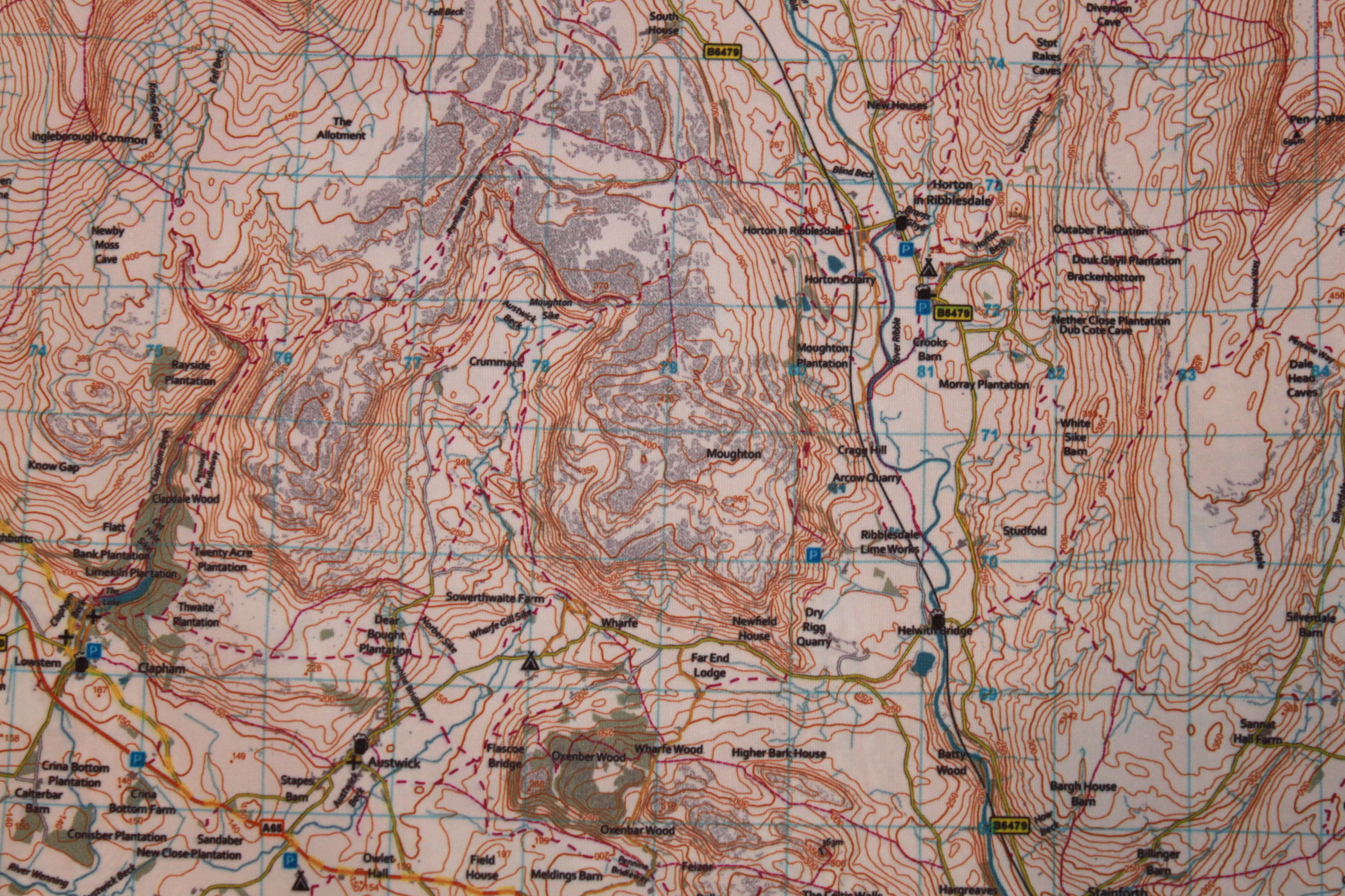
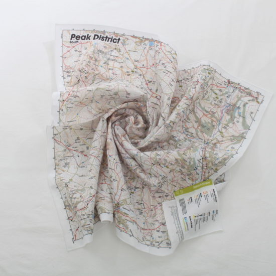
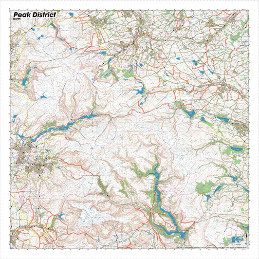
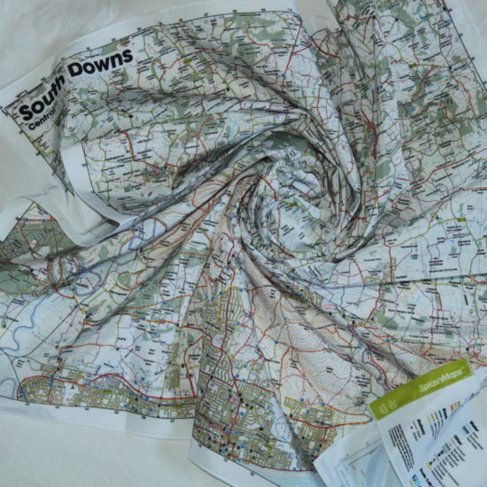
A Yorkshire Dales SplashMap covering over 700 square kilometres of this dramatic park and centred on the unmistakable Pen-y-ghent mountain with Settle in a prominent position at the Southern end of the map. The map is printed onto our weatherproof fabric in our signature cartography, designed for the REAL outdoors. **Special temporary offer – we have a dedicated 3 Peaks Map for the Yorkshire Dales commissioned by the National Park Authority. This is centred to include the 3 Yorkshire Dales Peaks (Ingleborough,
Whernside and Pen-y-Ghent), has the branding for the 3 Peaks and is otherwise as described. Ideal for your challenge! Please specify if you’d like this variant in your order**
KEY INFORMATION:
Major Settlements/ Features
Settle, Widdale Fell, Pen-y-ghent, Dent, Ribblehead, Addlebrough, Inglebrough, Horton, Threshfield
National Grid Coordinates (Easting, Northing / Grid Reference):
Lower-left – 372000, 462000,
Upper-right – 399600, 489600
Scale:
1:40,000
Dimensions on map:
27.6km x 27.6km
Size of product (including borders):
72cm x 72cm (approximately)
Save
| Weight | 0.06 kg |
|---|---|
| Dimensions | 72 × 72 cm |
| Map Scale | 1:40 000 |
Only logged in customers who have purchased this product may leave a review.


Reviews
There are no reviews yet.