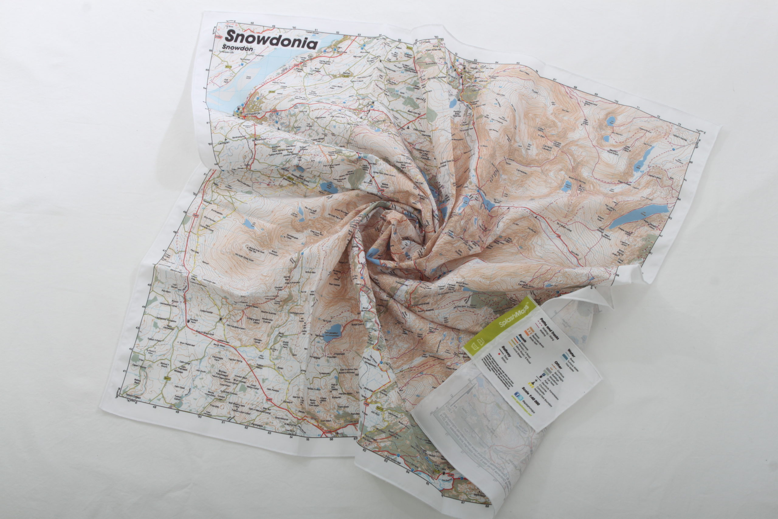
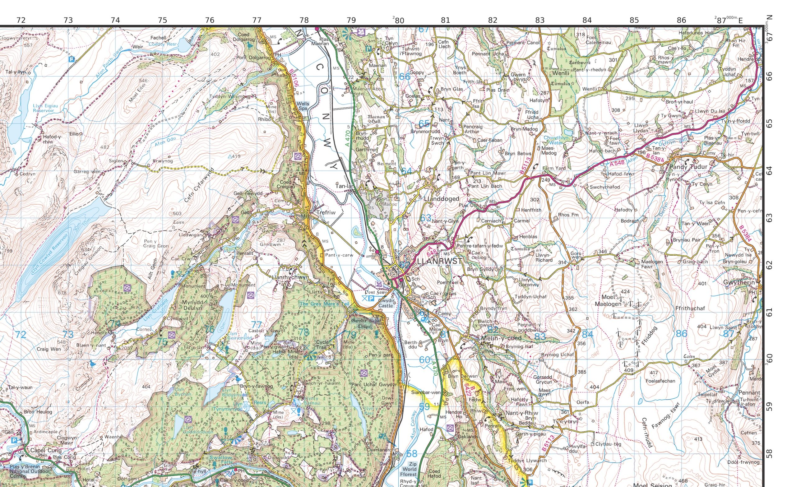

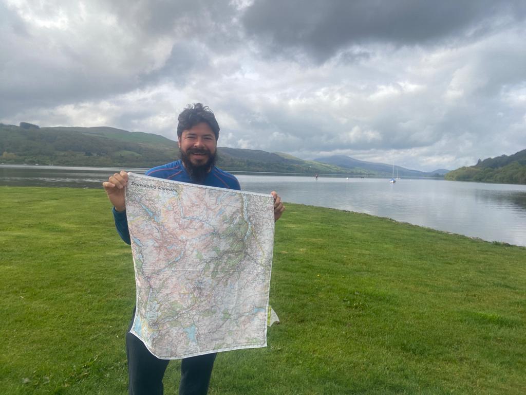

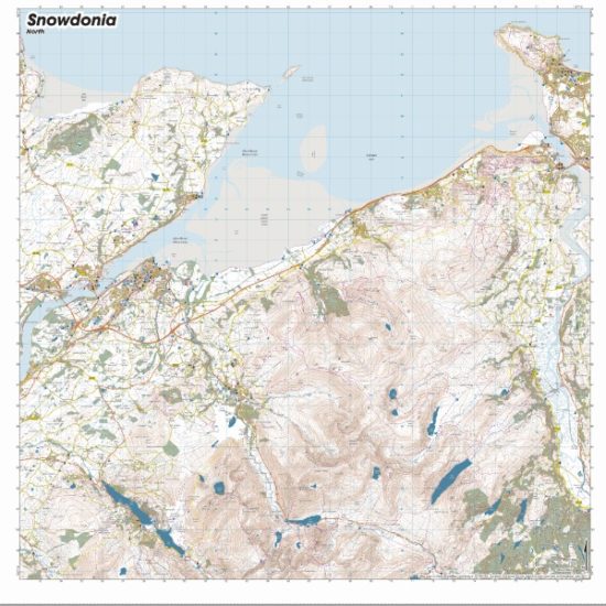
Our Snowdonia Snowdon Map from SplashMaps is a 50k Ordnance Survey Landranger style fabric map, so it covers a broad area of the dramatic Snowdonia National Park, as well as Wales’ tallest mountain, Snowdon.
Considered making a more specific map for your visit? By Choosing to create a custom OS map of the area you could get your favourite location dead centre in a scale and on a product that works best for you! What could be better?
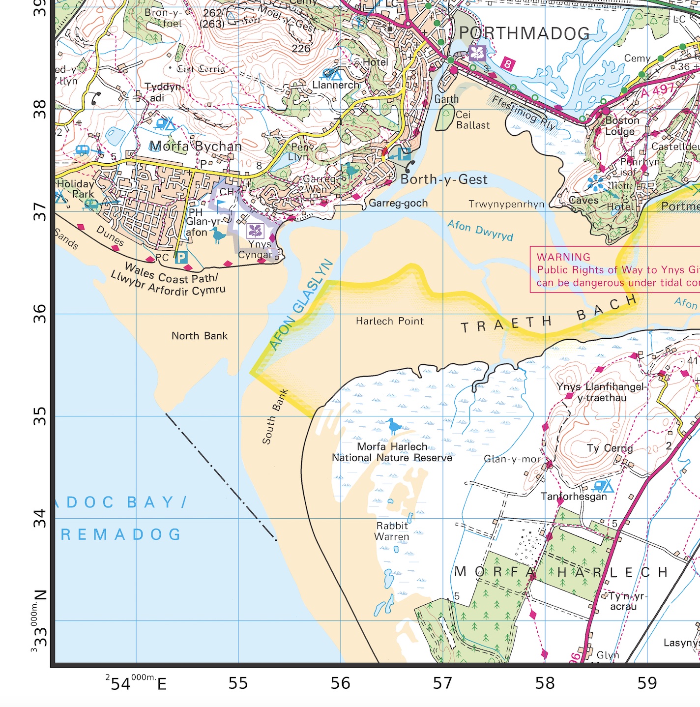
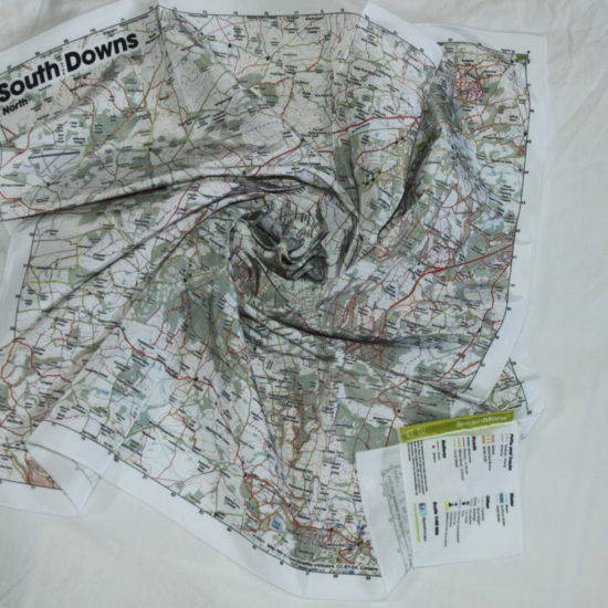
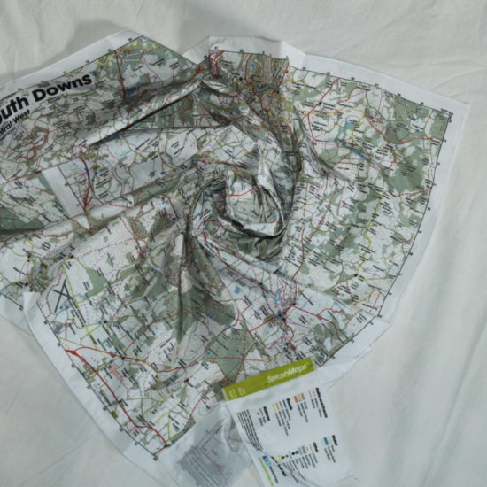
It’s a fabulous Landranger map but made from weatherproof fabric! The Map is designed for outdoor adventures and features contours, the OS national grid, walking and riding trails, clearly designated and numbered roads and water bodies. Essential pub, car park, church and camping symbols plus all the tourism information you’d expect from the Ordnance Survey make navigating a doddle.
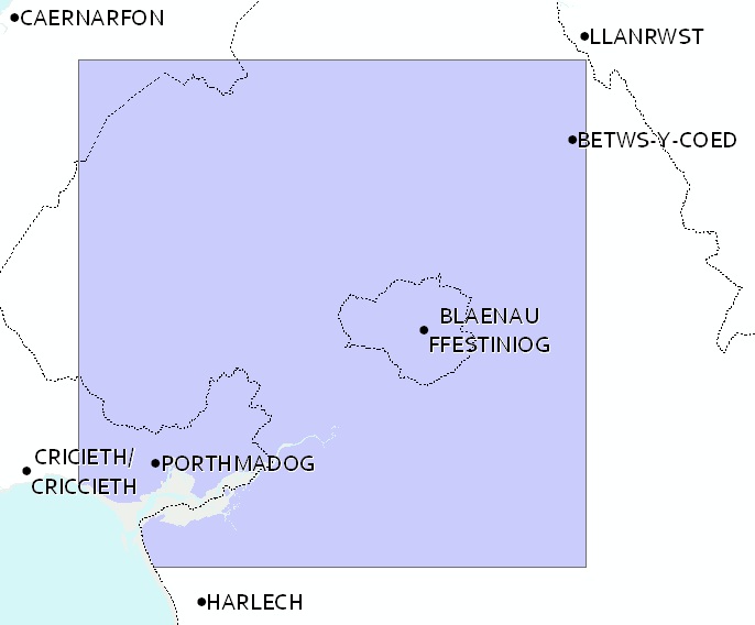
The area includes beautiful coastline, Wales’ tallest mountains and a range of ‘must do attractions’ to keep you in the area for days. From the Mountain Bike and outdoor activity centres (e.g. Betws-y-Coed) to the world’s fastest zip lines to tempt you beyond the stunning walking, running and climbing opportunities in this part of the National Park.
Mount Snowdon, Porthmadog, Betws-y-Coed, Tregarth, Blaenau Ffestiniog, Bethesda, Llanrug, Deiniolen, Drum, Garnedd Uchaf, Bera Bach, Llanberis, Foel-goch, GlydrFach, Y Foel Goch, Yr Wyddfa, Carnedd Moel Siabod, Llyn Gwynant, Rhyd-Ddu, Y Garn, Mynydd Ddysgl, Paddy Buckley Round
National Grid Coordinates (Easting, Northing / Grid Reference):
Lower-left – 253300, 332600
Upper-right – 287500, 367100
Scale:
1:50,000
Dimensions on map:
34km x 34km
Size of product (including borders):
72cm x 72cm (approximately)
| Weight | 0.058 kg |
|---|---|
| Dimensions | 73 × 73 cm |
| Map Scale | 1:50 000 |
Only logged in customers who have purchased this product may leave a review.


Reviews
There are no reviews yet.