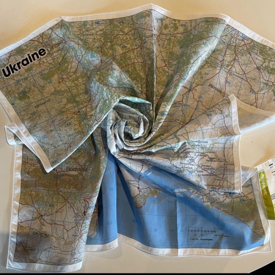
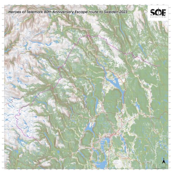
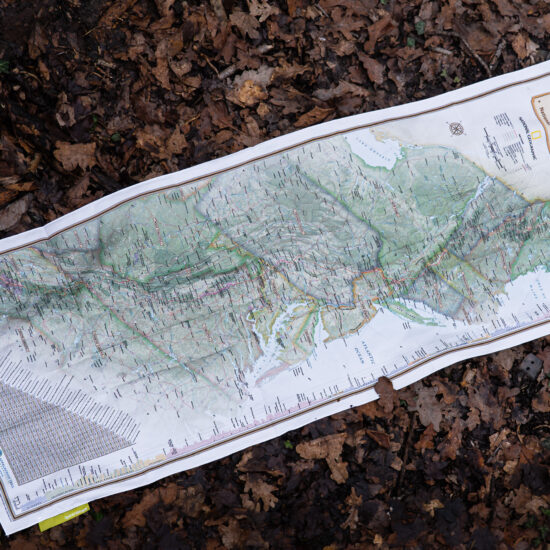
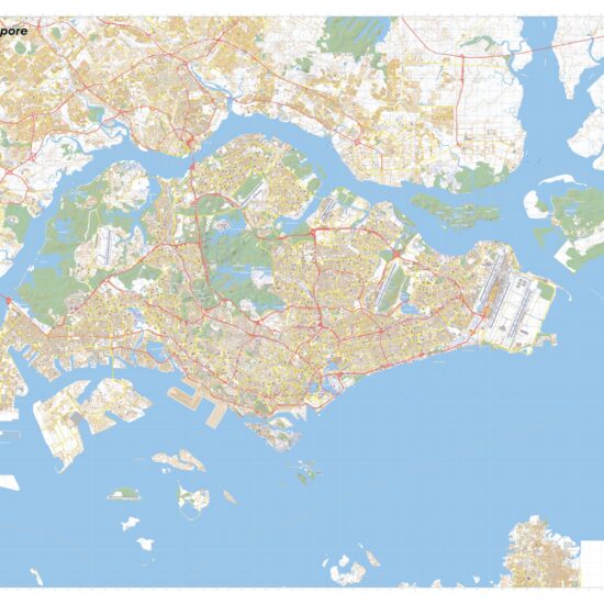
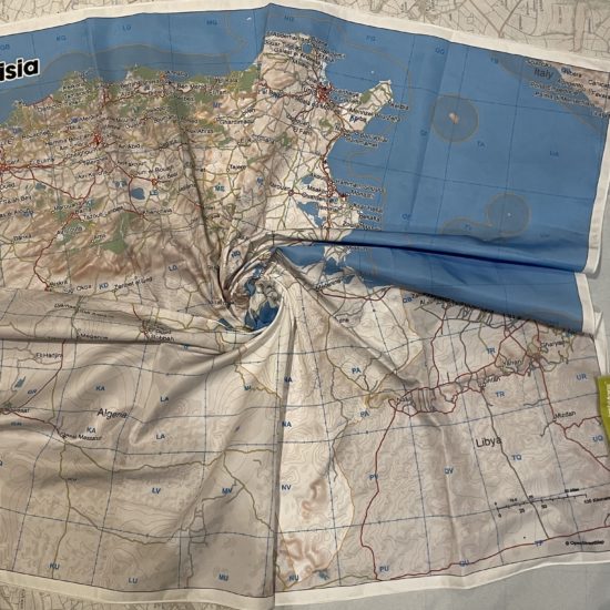
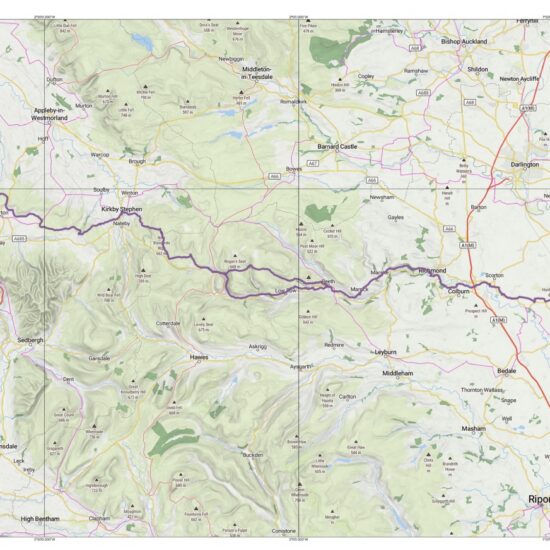
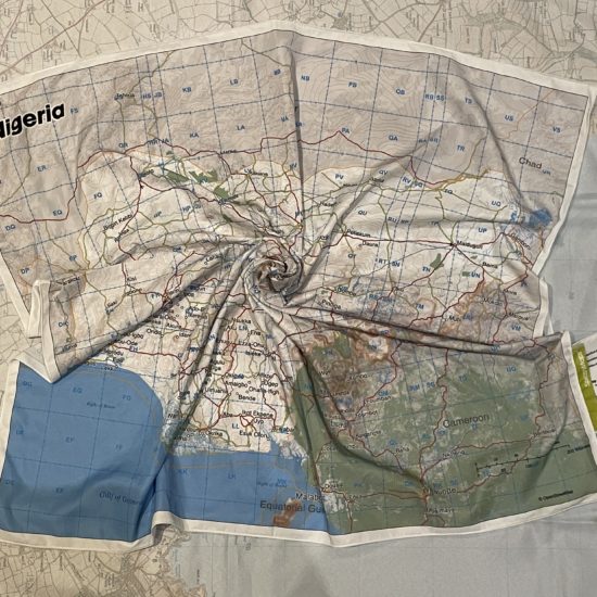
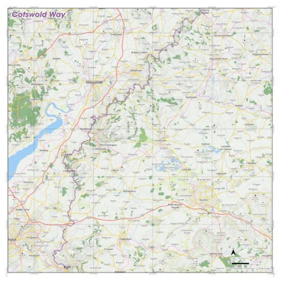
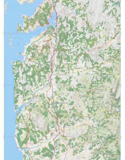
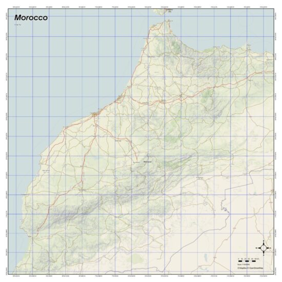
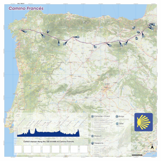
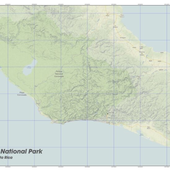
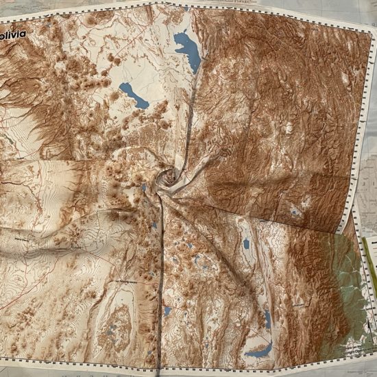
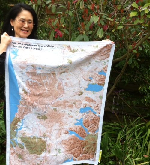
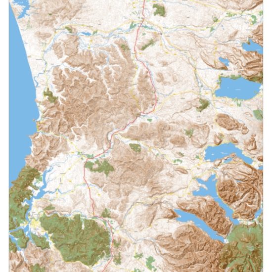
The scale, size and style of these maps are specifically chosen to give you a rapid context of the title country in its entirety; it’s terrain, transport networks and major conurbations.
National and maritime borders are highlighted because these give a context of the country and its surrounds. Contours and hill shading are added to give a fast, reliable impression of the topography. Water features include the main river network, lakes, seas and deltas. Conurbations are named in clear bold text and pin pointed throughout the nation and its immediate neighbours to help accurate coordination. Railways and three classes of road (Main, Secondary and Tertiary) detail the transport network to plan your journey and rendez-vous. Woodland gives a clear context for those navigating the country.