Description
Maps of Europe
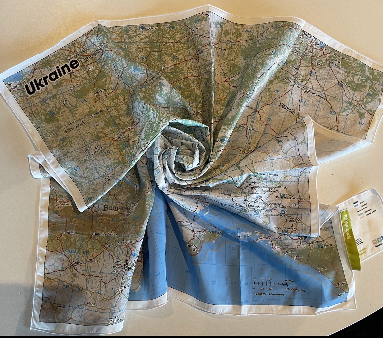
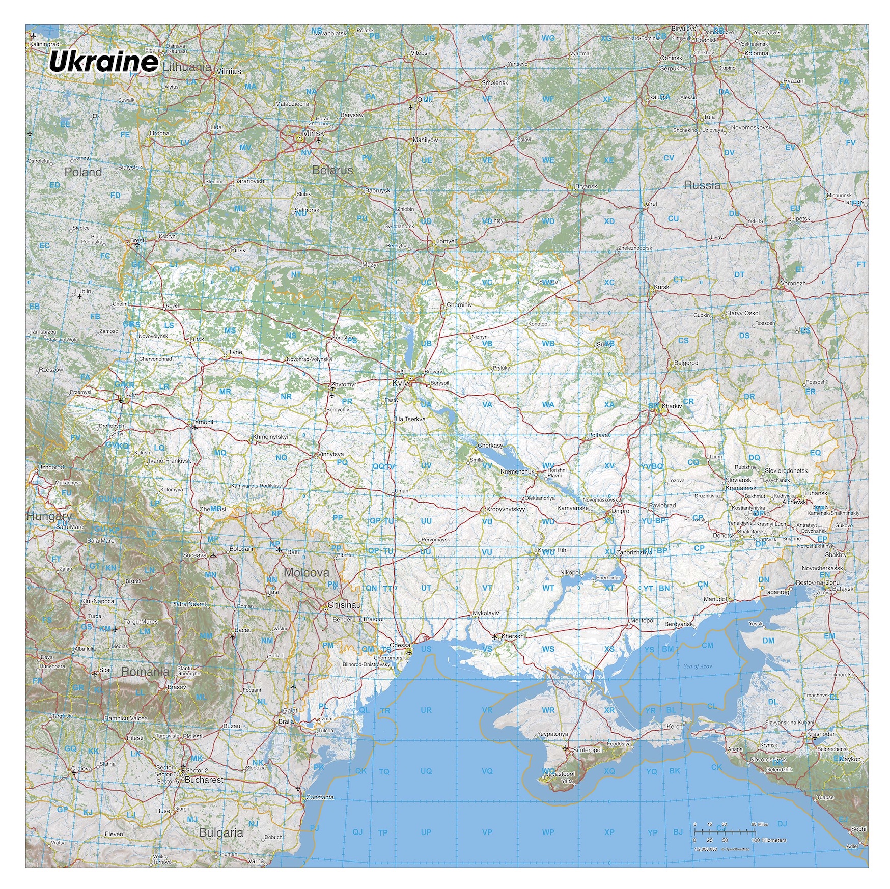
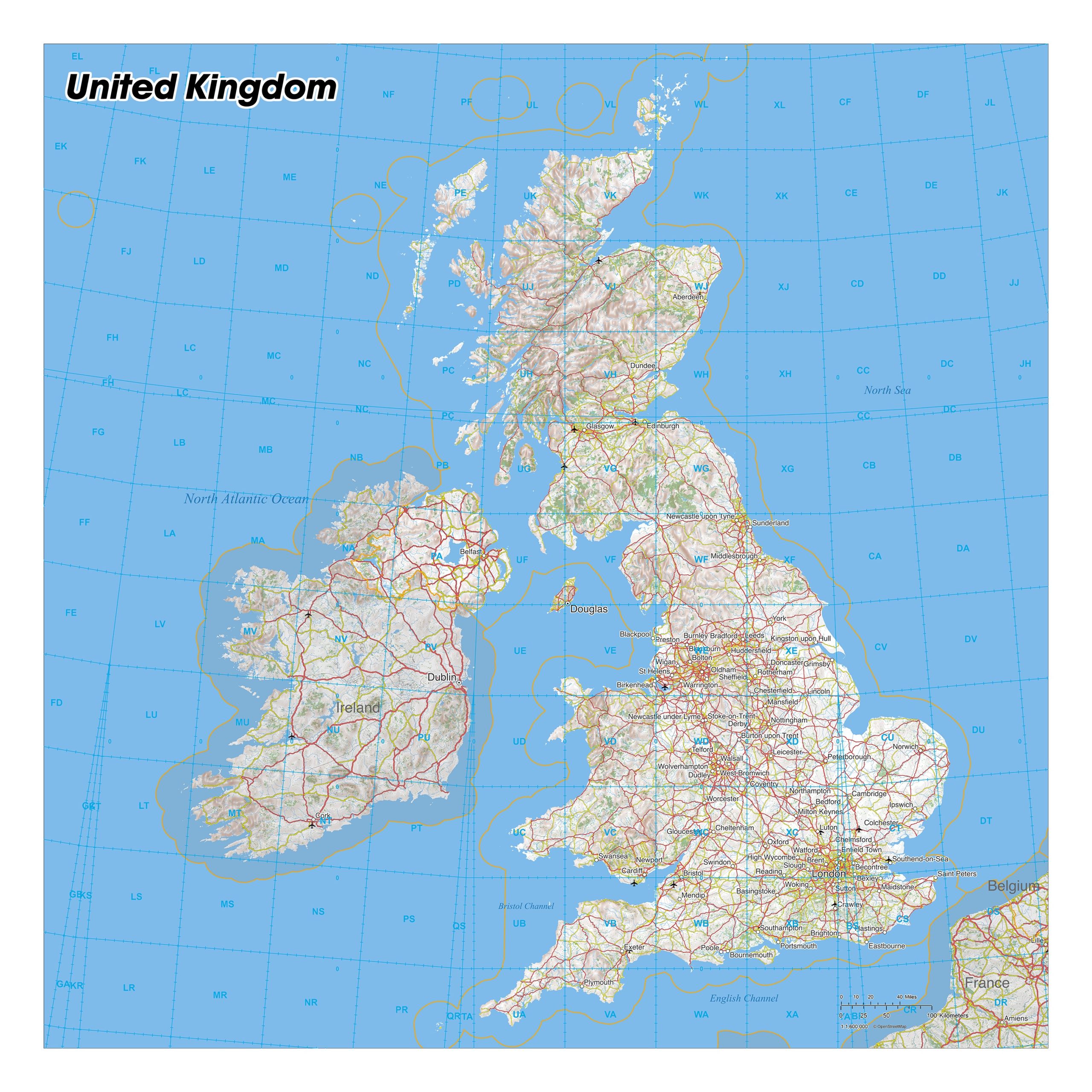
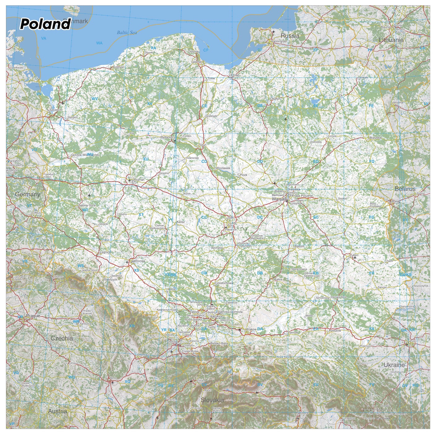
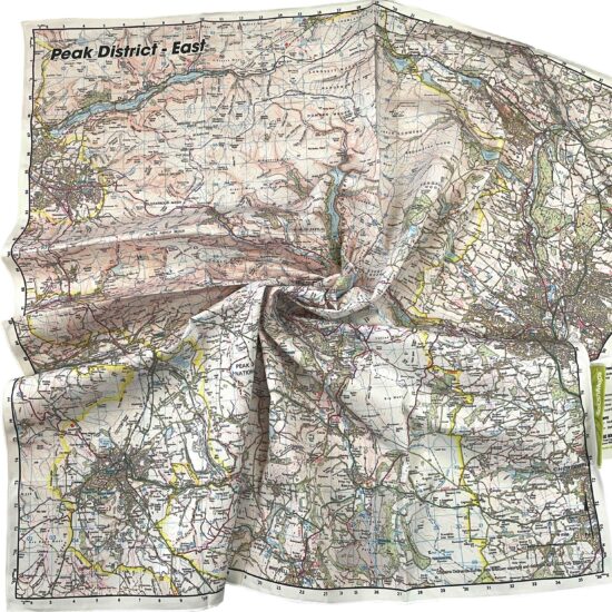
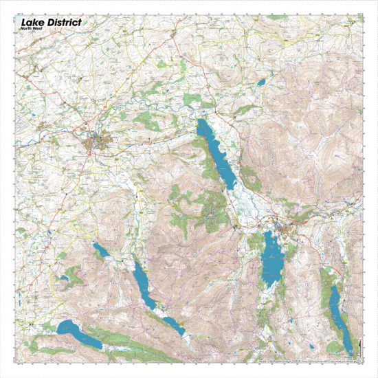
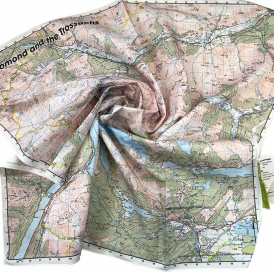
The Maps of Europe from SplashMaps are part of our International Expedition series. The scale, size and style of these maps are specifically chosen to give you a rapid context of the title country in its entirety; it’s terrain, transport networks and major conurbations. The Maps of Europe are superb for planning and, thanks to our Pro weatherproof fabric, executing solo or coordinating multi-partied expeditions thanks to the exceptional level of detail.
Expedition Map Series Content
Borders
National and maritime borders are highlighted because these give a context of the country and its surrounds.
Topography
Contours and hill shading are added to give a fast, reliable impression of the topography.
Water network
Water features include the main river network, lakes, seas and deltas.
Conurbations
Conurbations are named in clear bold text and pin pointed throughout the nation and its immediate neighbours to help accurate coordination.
Transport Infrastructure
Railways and three classes of road (Main, Secondary and Tertiary) detail the transport network to plan your journey and rendez-vous. Woodland gives a clear context for those navigating the country.
Larger Scale Maps of Europe
For larger scale and higher detailed maps within Ukraine we’ve created our Map Maker;
1:2 000 000 Scale weatherproof map of Capital Kyiv HERE
Briefing Map of Kyiv expanded to tablecloth size (130 x 130cm) HERE
Only logged in customers who have purchased this product may leave a review.


Reviews
There are no reviews yet.