Description
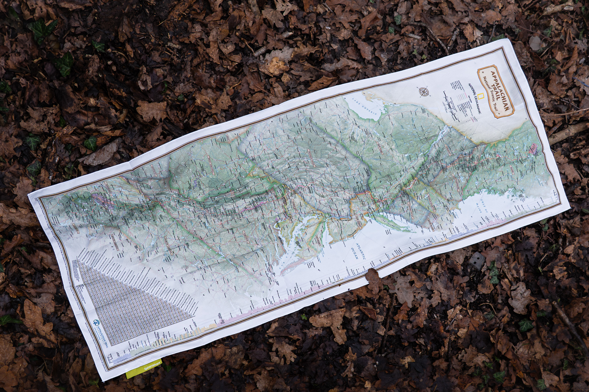
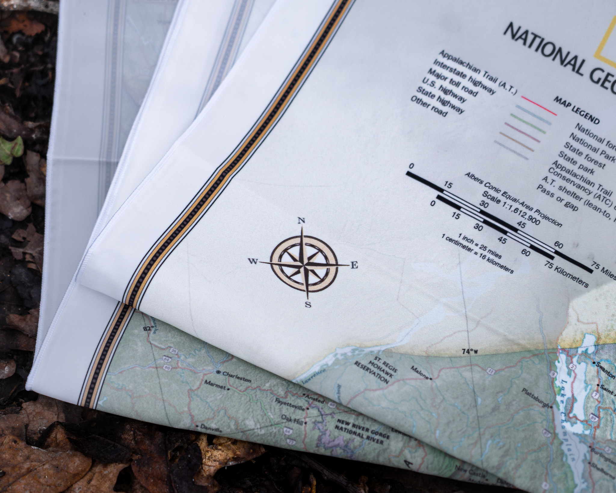
Discover the iconic Appalachian Trail with SplashMaps’ Appalachian Trail Map, designed in collaboration with National Geographic and debuting at the 2025 Boston Outdoor Expo. This ultra-durable, versatile map is tailored for adventurers tackling the 2,190-mile trail, whether completing the full thru-hike or exploring shorter sections.
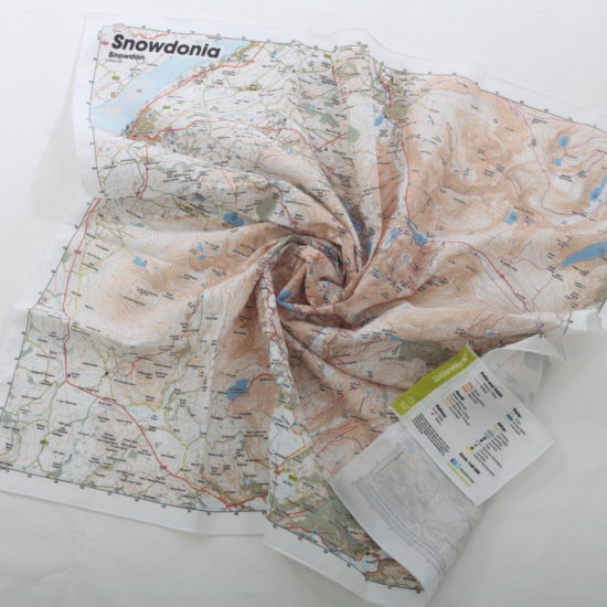
Why Fabric Matters
Unlike paper maps, our fabric maps are weatherproof, tear-resistant, and washable—built to withstand the challenges of long-distance hiking. They fold easily into your pack, tie around your gear, or even double as a bandana or emergency sling. No matter how rough the journey gets, this map is your reliable, sustainable companion, perfect for the Appalachian Trail’s unpredictable weather and rugged terrain. For many, the Appalachian and it’s mountains are solid Bucket list items. For them, the SplashMap can hang proudly on the wall and even be passed-on as an heirloom.
About the Appalachian Trail
Stretching from Springer Mountain in Georgia to Mount Katahdin in Maine, the Appalachian Trail spans 14 states and offers breathtaking views, diverse ecosystems, and a profound sense of adventure. It is one of the world’s longest and most celebrated hiking trails, attracting thousands of hikers annually for its beauty and challenge.
Key Features Along the Trail
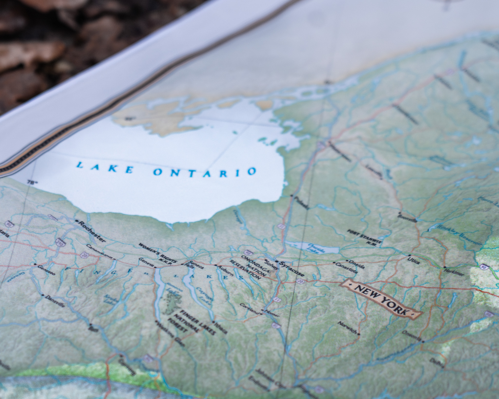
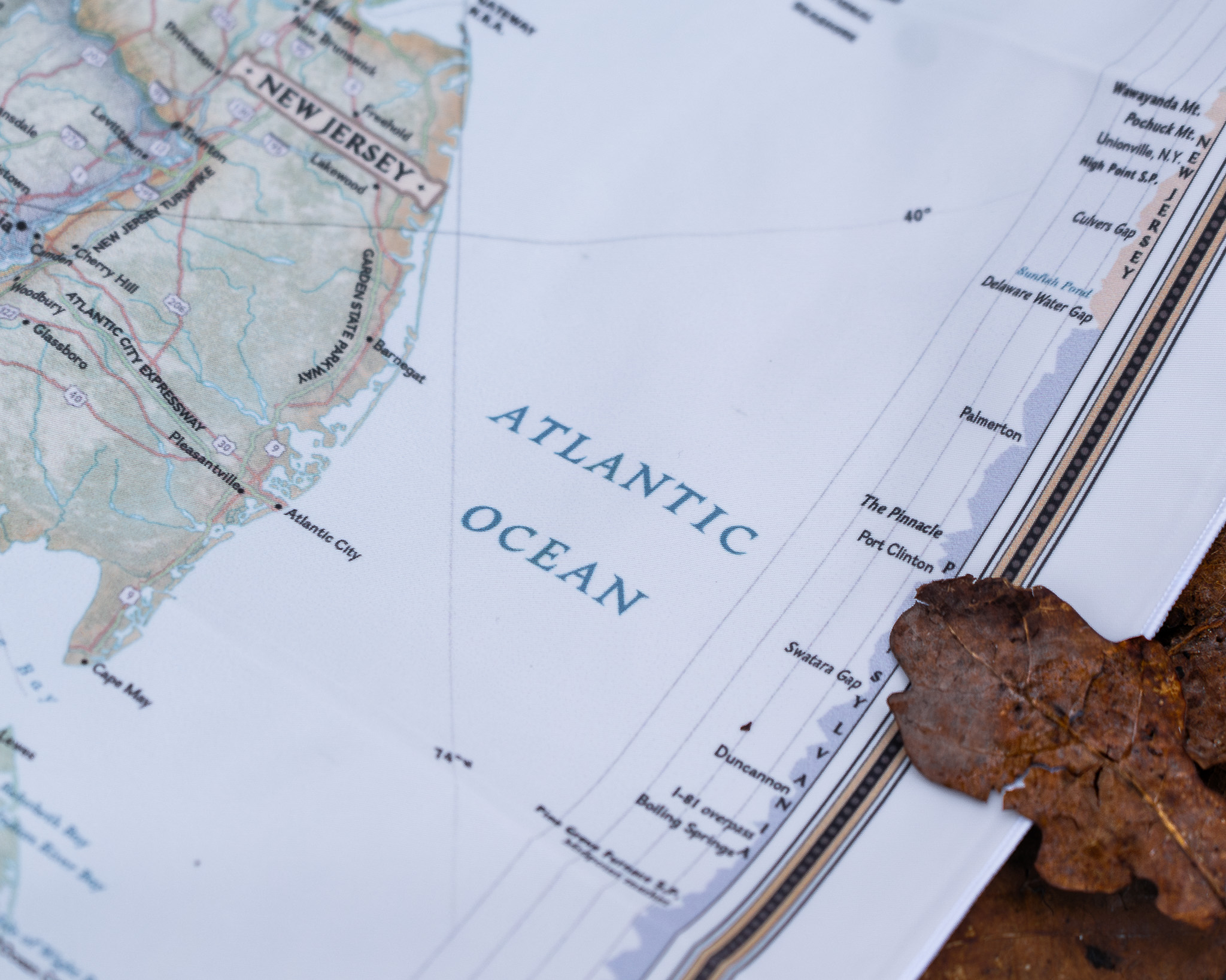
This detailed map highlights essential waypoints and landmarks, including:
- Mountain Peaks: Clingmans Dome (Tennessee), McAfee Knob (Virginia), Mount Washington (New Hampshire), and Katahdin (Maine).
- Trail Towns: Hot Springs (North Carolina), Harper’s Ferry (West Virginia), and Damascus (Virginia).
- Scenic Wonders: The Smoky Mountains, Shenandoah National Park, White Mountains, and Mahoosuc Notch—the “toughest mile.”
- Facilities: Shelters, campsites, water sources, and resupply points.
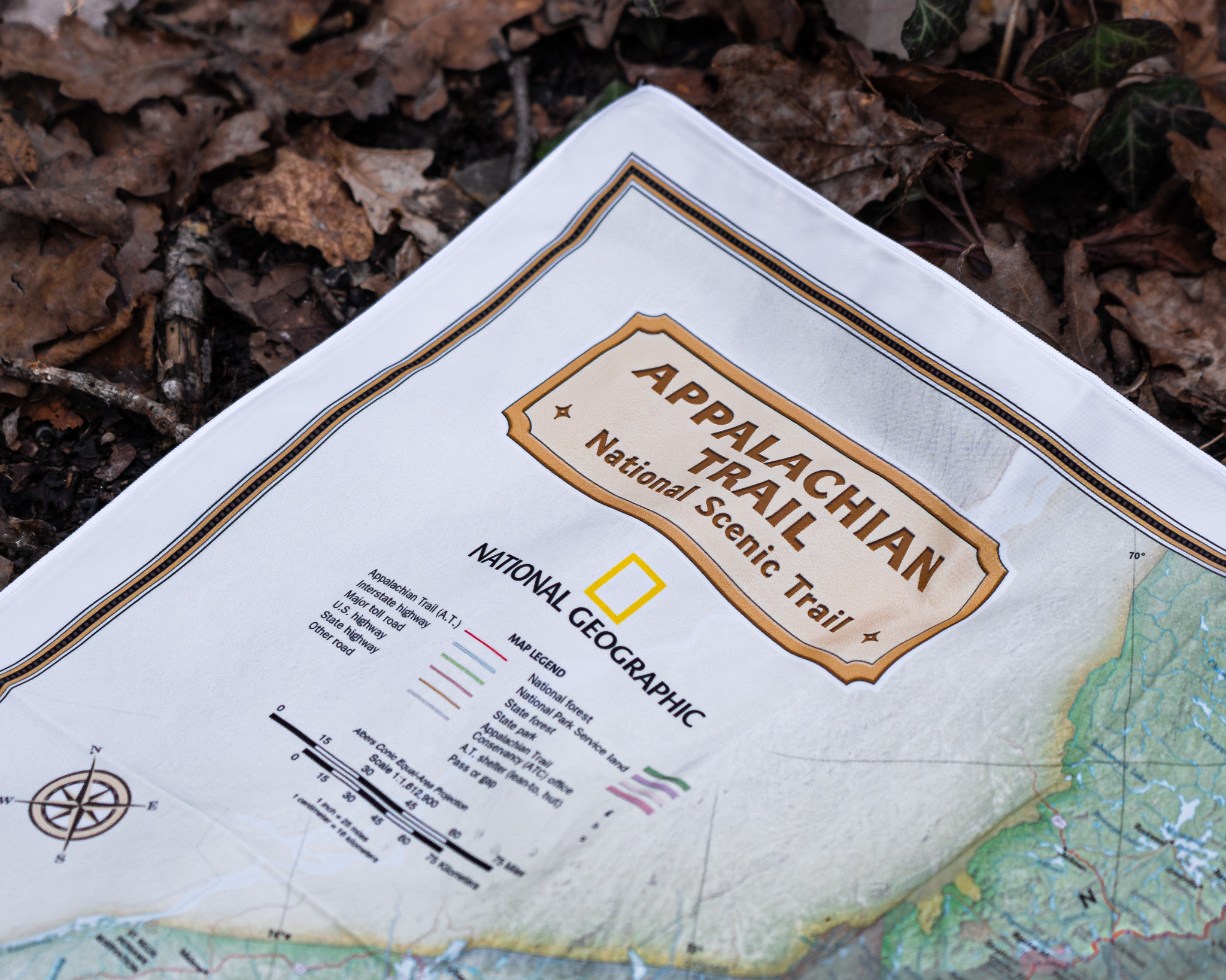
Packed with National Geographic’s precision detail and SplashMaps’ resilient fabric, this map ensures you stay on track and inspired throughout your Appalachian adventure.
Only logged in customers who have purchased this product may leave a review.


Reviews
There are no reviews yet.