Description
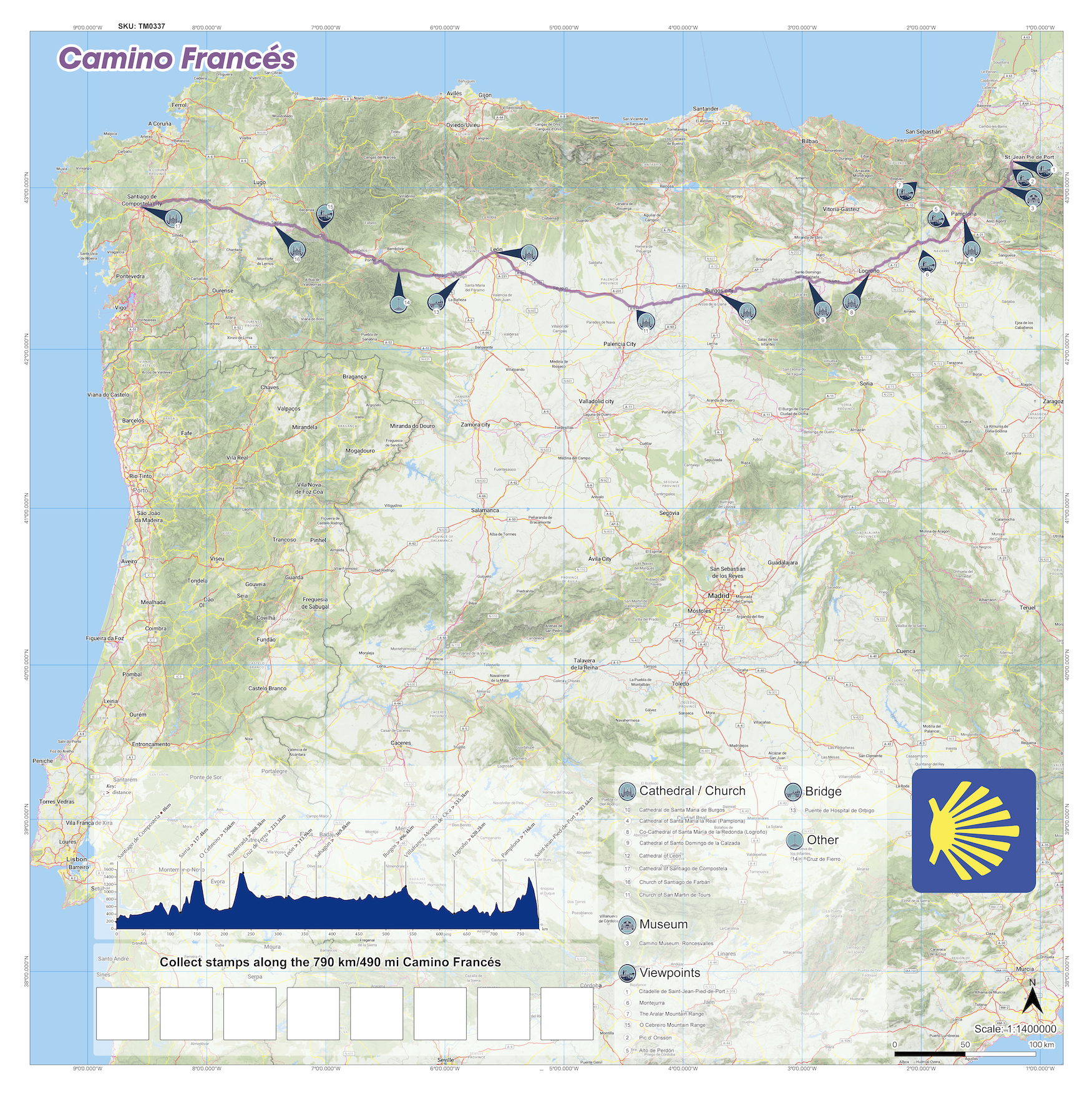
Discover the iconic Pilgrimage trail with this Santiago de Campostela, Camino Frances map from SplashMaps. It’s part of our Challenge series of maps, designed ‘for the routes that test you’. These ultra-durable, versatile maps are tailored for adventurers tackling the longer trails, whether completing the full thru-hike or exploring shorter sections.
Why Fabric Matters
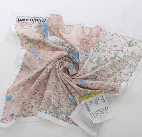
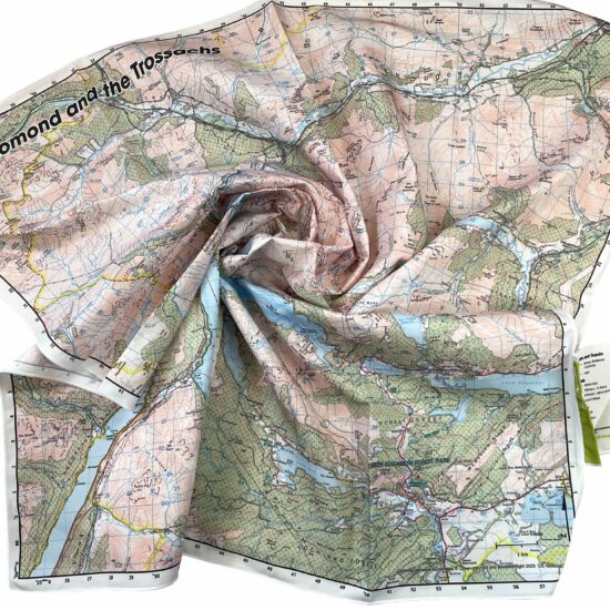
Unlike paper maps, our fabric maps are weatherproof, tear-resistant, and washable—built to withstand the challenges of long-distance hiking. They fold easily into your pack, tie around your gear, or even double as a bandana or emergency sling. No matter how rough the journey gets, this map is your reliable, sustainable companion, perfect for the trail’s unpredictable weather and challenging terrain. For many, this trail is a solid Bucket list item. For them, the SplashMap can hang proudly on the wall and even be passed-on as an heirloom.
About the Santiago de Compostela, Camino Frances Trail
Stretching from Saint-Paul-Pied-de-Port in the French Pyrenese to Santiago de Compostela to the West, the Santiago de Compostela, Camino Frances offers over 780 km of the Iberian peninsular’s most dramatic landscapes with breathtaking views depicted on this beautiful map. The most popular of the pilgrimage routes it is an ideal hiking challenge with so many features and points of inspiration en-route.
Key Features Along the Trail
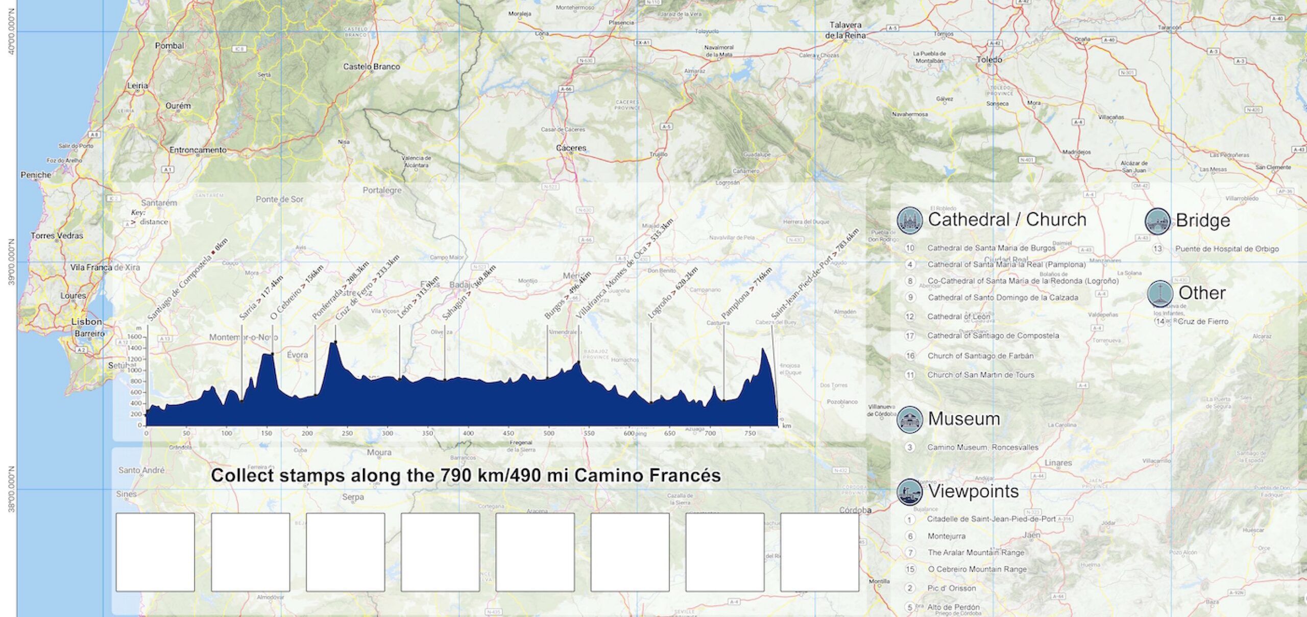
This detailed map highlights essential waypoints and landmarks, including:
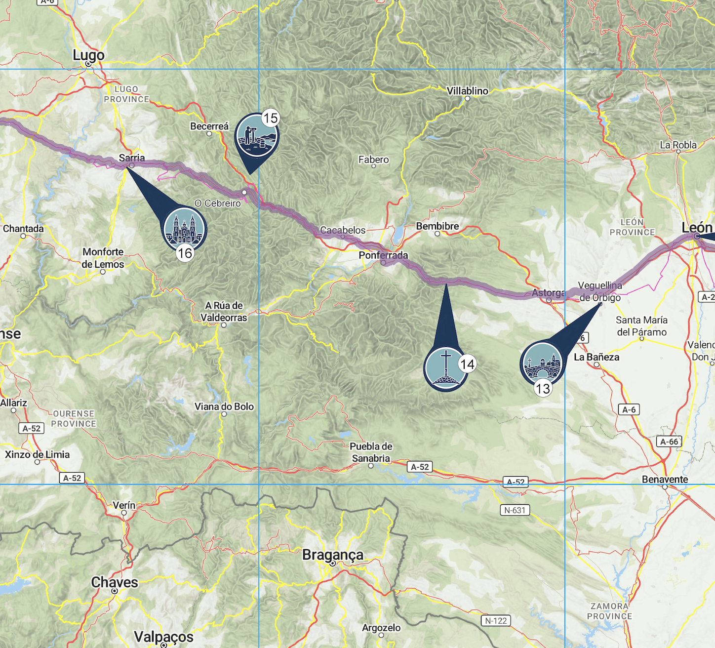
- High points: Citadelle de Saint-Jean-Pied-de-Port, Montejurra, The Aralar Mountain Range, O Cebreiro Mountain Range, Pic d’ Orisson, Alto de Perdón
- Inland Trail Towns: Saint Jean Pied de Port, Pamplona, Lagroño, Burgos, León, Astorga, O Cebreiro, Santiago de Compostela
Packed with precision detail and SplashMaps’ resilient fabric, this map ensures you stay on track and inspired throughout the trail.
SplashMaps’ Challenge Series of Maps
SplashMaps’ Challenge Series of fabric maps feature long distance challenges on foot and by pedal. Typically rectangular to optimise detail on these linear trails, they are ideal for planning, way finding and looking back on these ‘bucket list’ endurance tests.
Our series is entirely customer led. Doing your Camino, Cost to Coast or other long distance challenge? Don’t see it here?
We’ll design it for your right HERE.
Only logged in customers who have purchased this product may leave a review.








Reviews
There are no reviews yet.