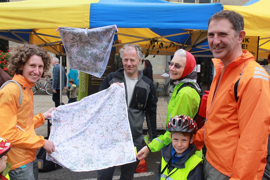
SplashMaps started with just 1 map in December 2012! Amazingly, by mid-2013 our maps were available for all our National Parks. By November we could offer anywhere in Great Britain printed onto our high performance material.
We’ve a strong (but low cost!) PR campaign in the south of England to thank, partly built upon the relations gained at the Outdoors show and our successful Kickstarter Crowd Funding campaign. The result? We’ve proved that our highly original fabric ideas fill a yawning gap in the market for outdoor lovers who’ve “had-it with paper”.
Now things are changing. Now that we are retailing in the visitor & tourist information centres of half the National Parks in Great Britain it’s clear that “word of mouth” has already taken us further.
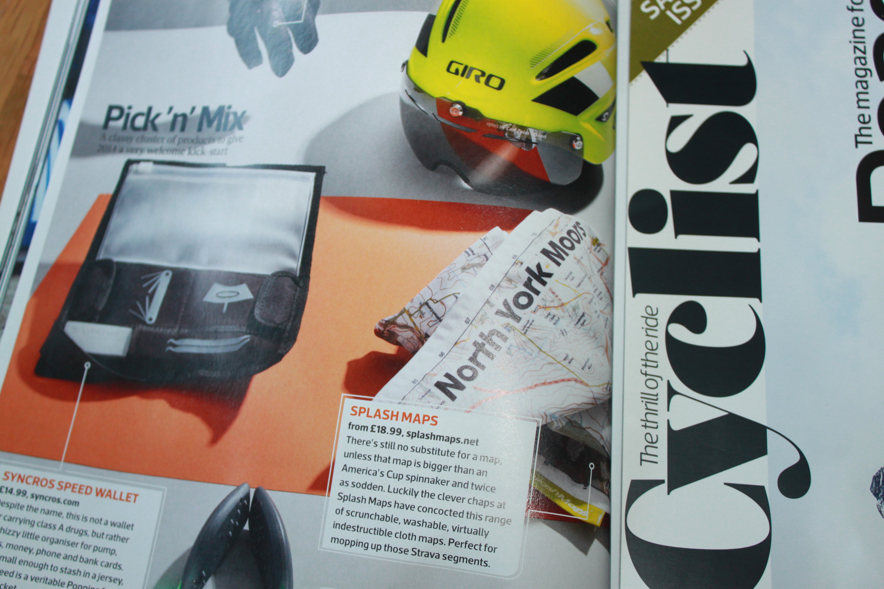
So for 2014 we’re adding a focus on the North of England & Scotland. Of course the Yorkshire Dales National Park Authority had already commissioned their 3 Peaks Maps from us, but it was great to see our North York Moors Map appear in the very stylish and serious roadie “Cyclist” magazine (February Edition). Also, receiving the local NPA’s first batch order for our 3-map-seried Northumberland maps before Christmas was an added bonus partly attributed to the editorial we gained in Novembers BikeBiz magazine.
To head for the highlands we’ve taken on expertise too. Malcolm Streeton, a mountain leader as well as a fellow member of the New Force MTB club, has brought us a deeper knowledge of these key markets and focused his efforts on Snowdonia and the Lake District. Thanks to him we’re selling through more retailers in the Lakes and the interest from the Mountain Leader Training Associations has influenced significant sales in this specialist end of our market.
And to help balance our efforts in Great Britain we’re thrilled to announce a new recruit to the team as Craig Webster from Webster Geomatics Ltd. joins us. He’ll be engaging with the retailers of outdoor adventure gear and publications in Scotland as well as growing our retail presence in the North of England. Craig’s background is surveying and sales for our own Ordnance Survey. He’s full of ideas and with an established reputation and network in this region we’re expecting great new retail relationships.
The Tour de France is the biggest cycling event this year for Great Britain. Arguably the most dramatic stages will be in the Yorkshire Dales. SplashMaps have been working with CartoSoc member (the location consultancy) Steer, Gleave, Davies, to make the most innovative map ever seen (or worn! ) for any stage of “Le Tour”.
2014 will be great for Great Britain’s maps. Never before will they have been so durable, so washable, so splashable and so desirable regardless of where you are!
