A growing number of National Parks are now available from SplashMaps! Pretty soon we’ll create any one of Great Britains 15 national parks for you.
Take a look at our Web site as we populate it with more.

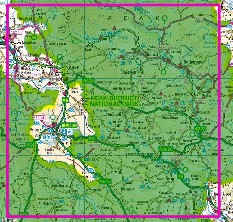
Today it was Snowdonia and the Peak District that joined our product portfolio on-line. By the end of the month we will have delivered our first batch of these new regions for you.
Check the coverage in the links above and the maps on this page.
And don’t forget we can make you a map centred anywhere you like in Great Britain and we can tailor them to your needs.
How do we do this?
It’s the fabulous data base we’ve created in which the entire nation is now available.
We’ve combined the best Open Data Sources including those from the Ordnance Survey and the Local Authorities and those from OpenStreetMap.
The data base and tools we used are all Open Source and built to the best industry standards.
SplashMaps is so much more than a map ;-).
Watch for more maps becoming available in the next 2 weeks. But don’t wait around… contact us and get your requests and orders in as soon as possible to get your delivery this month.
