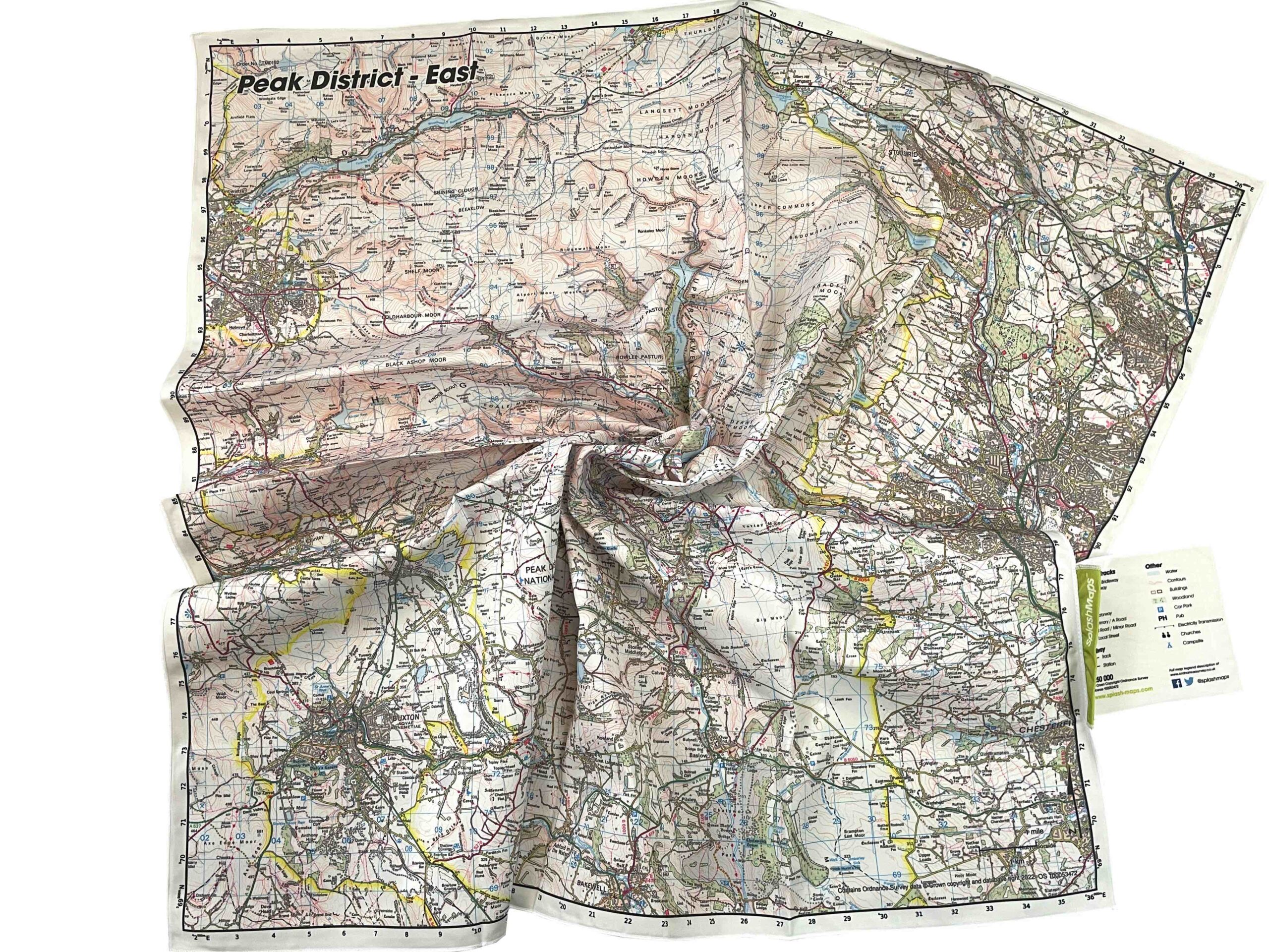
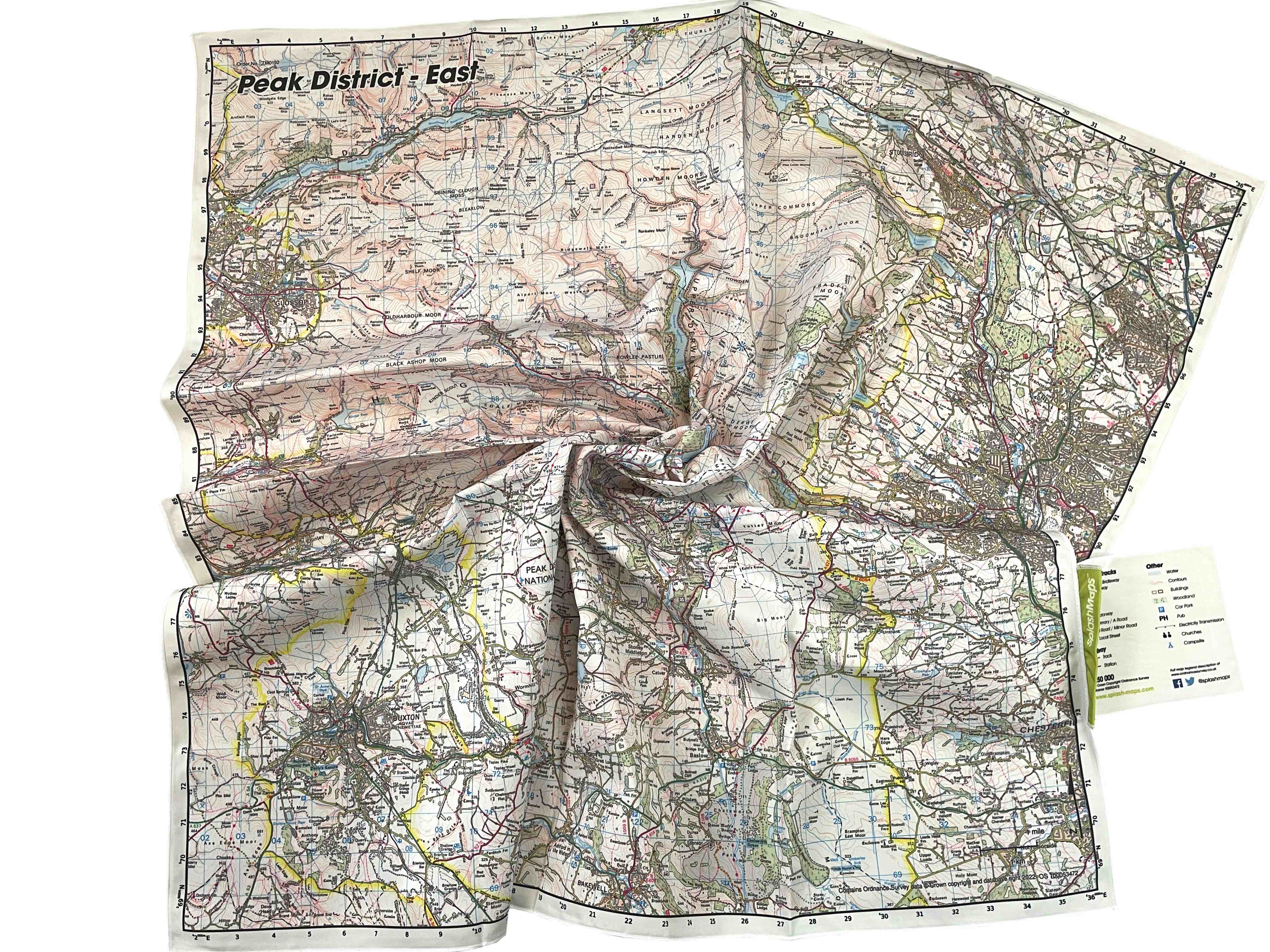
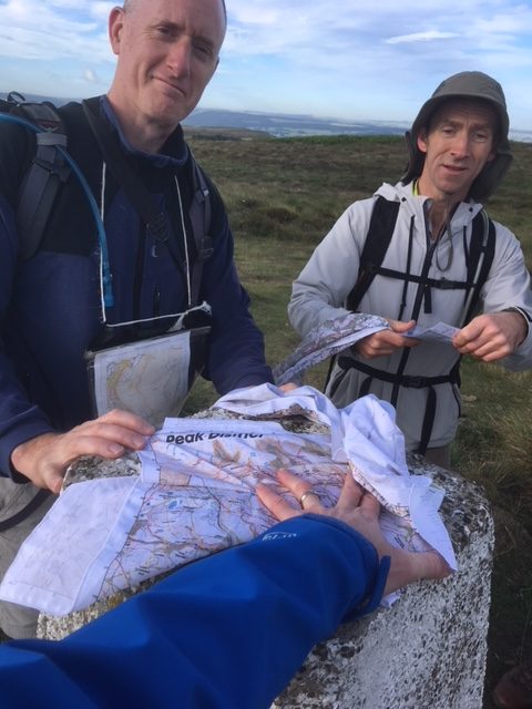

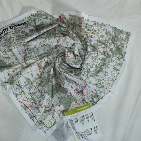
The Peak District Map East from SplashMaps is a beautiful map of the Eastern section of the Peak District National Park. Because the map is designed for outdoor adventures it features contours, the OS national grid, and walking and riding trails are clearly designated together with numbered roads and water bodies. Our signature pub, car park, church and camping symbols are why navigating to your start and end points is such a doddle.
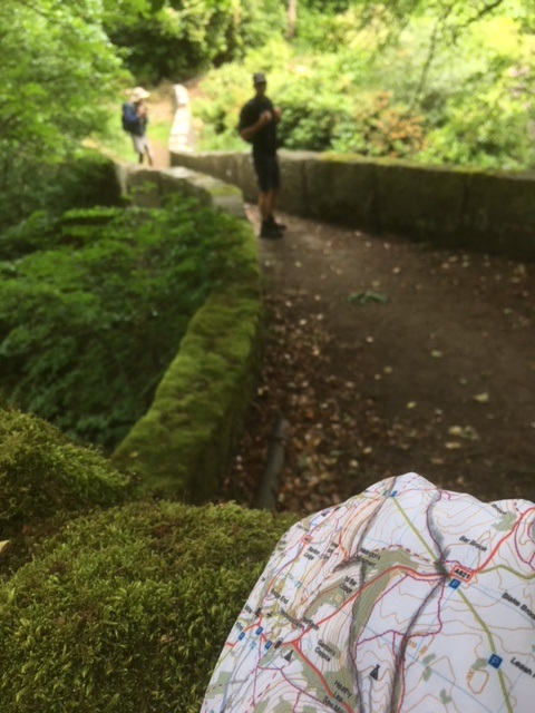
Check-out our walk in this area with top navigation tips and a proposed route
SplashMaps offer full coverage of this beautiful National Park. Each Peak District map – 4 in our unique 40k scale series – highlights your rights of way and simplifies adventure planning. But, if you love that tradional Ordnance Survey Peak District Map look, don’t forget you can design 1:50k or 1:25k Peak District maps in 10 different formats centred on anywhere.
The Peak District is the UK’s original National Park, formed as a result of the mass trespass on Kinder Scout in 1932. The inspiration for many of Britain’s famous mountaineers and explorers it now hosts some of the country’s finest hiking and mountain bike trails.
SplashMaps is proud to be a Partner of the Peak District National Park Foundation. We contribute 10% of all sales originating from their site to improving accessibility on the trails.
KEY INFORMATION:
Major Settlements & Features:
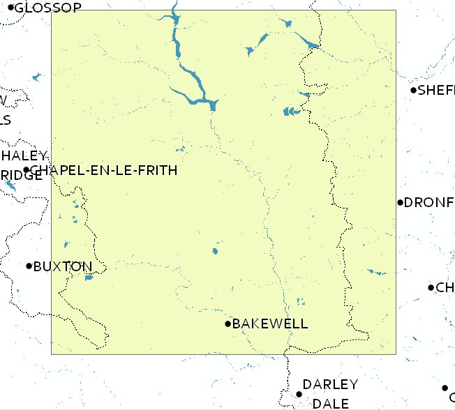
This Peak District East Map covers: Bakewell, Chatsworth, White Edge, Big Moor, Fox House, Robin Hood, Redmire Reservoirs, Dark Peaks, White Peaks, Ladybower, Castleton, Edale, Bakewell, Buxton, Bamford, Hope Valley, Hathersage, Grindleford, Curbar, Calver, Baslow, Chatsworth House, Ashford in the water, Fairfield, Blue John Cavern, Kinder Scout, Hope, Brough, Hollow Meadows, Mercia, Nether Padley, Upper Padley, Froggatt, Peak District, Derbyshire Dales, Northumbria, Yorkshire, Sheffield, Hathersage, Stanage Pole, Eagle Rock, Pennine Way, Jacobs Ladder, Top o Th’ Hay
National Grid Coordinates (Easting, Northing / Grid Reference):
Lower-left – 407000, 366000
Upper-right – 434600, 393600
Scale:
1:50,000
Dimensions on map:
34.5km x 34.5km
Size of product (including borders):
72cm x 72cm (approximately)
Latest update:
18th Feb 2018 details on FAQ 24
| Dimensions | 72 × 72 cm |
|---|---|
| Map Scale | 1:50 000 |
Only logged in customers who have purchased this product may leave a review.


Claire Corner (verified owner) –
Bought 7 of these for my walking group to do the Peak District Bronze Challenge (50k in under 12 hrs). Brilliant for navigating on the day & a great souvenir of a fabulous walk – some of the walkers are framing theirs!