![2013-04-04_south_downs-west [Titles]1](https://www.splash-maps.com/wp-content/uploads/2013/01/2013-04-04_south_downs-west_tn.jpg)
![2013-04-04_south_downs-west [Titles]](https://www.splash-maps.com/wp-content/uploads/2013/01/South-Downs-West-Detail.jpg)

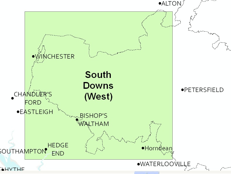
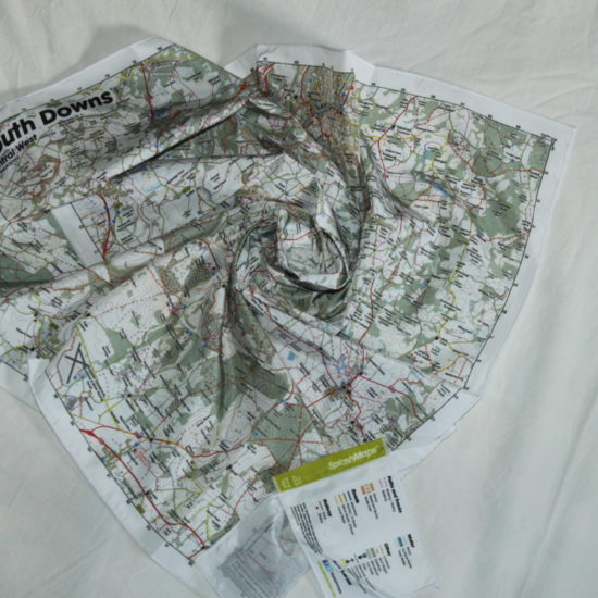
A beautiful Ordnance Survey map from the starting point of the South Downs. The South Downs West SplashMap is designed for outdoor adventures and features contours, the detailed Ordnance Survey Landranger detail. Check our video from the Park.
The OS’s pub, car park, church and camping symbols make navigating to your start and end points a doddle. All this on a weatherproof fabric map!
KEY INFORMATION:
Major Settlements:
Hampshire, Winchester, Bishop’s Waltham, Hedge End and Horndean, Twyford, Shawford, Otterbourne, Meon Valley, Meonstoke, Petersfield, Queen Elizabeth Country Park, Chilcombe, Alresford, Cheriton, South Downs Way, Monarch’s Way, Oxdrove Trail, Watercress Trail,
National Grid Coordinates (Easting, Northing / Grid Reference):
Lower-left – 446000,110000 / SU460100
Upper-right – 473600, 137600 / SU736376
Scale:
1:50,000
Dimensions on map:
34.5km x 34.5km
Size of product (including borders):
72cm x 72cm (approximately)
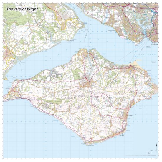
Sample of Detail:

| Dimensions | 73 × 73 cm |
|---|---|
| Map Scale | 1:50 000 |
Only logged in customers who have purchased this product may leave a review.


Reviews
There are no reviews yet.