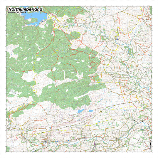
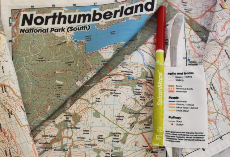

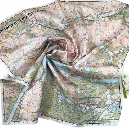
The Northumberland Map South from SplashMaps covers the southern section of the Northumberland National Park and is available in our fabulous map style! This rainproof fabric Map is designed for outdoor adventures and features contours, the OS national grid, walking and riding trails, clearly designated and numbered roads and water bodies. Our signature pub, car park, church and camping symbols make navigating to your start and end points a doddle.
KEY INFORMATION:
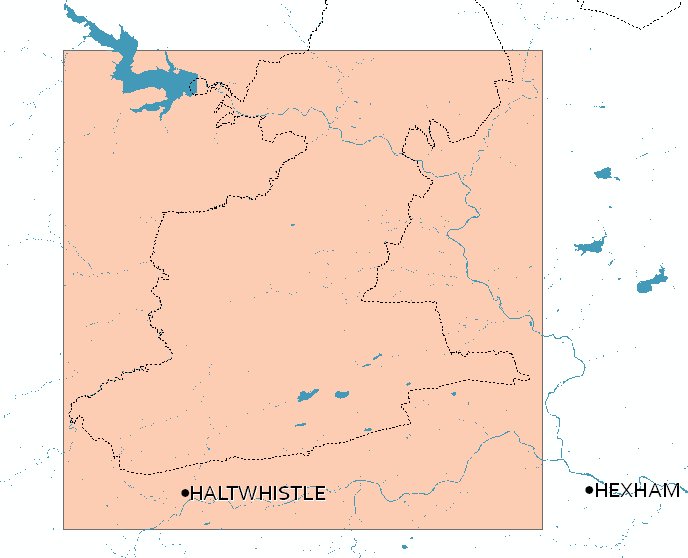
Major Features and Settlements:
Haltwhistle, Kielder Water

National Grid Coordinates (Easting, Northing / Grid Reference):
Lower-left – 363000, 562000 / NY630620
Upper-right – 390600, 589600 / NY906896
Scale:
1:40,000
Dimensions on map:
27.6km x 27.6km
Size of product (including borders):
72cm x 72cm (approximately)
| Dimensions | 72 × 72 cm |
|---|---|
| Map Scale | 1:40 000 |
Only logged in customers who have purchased this product may leave a review.


Reviews
There are no reviews yet.