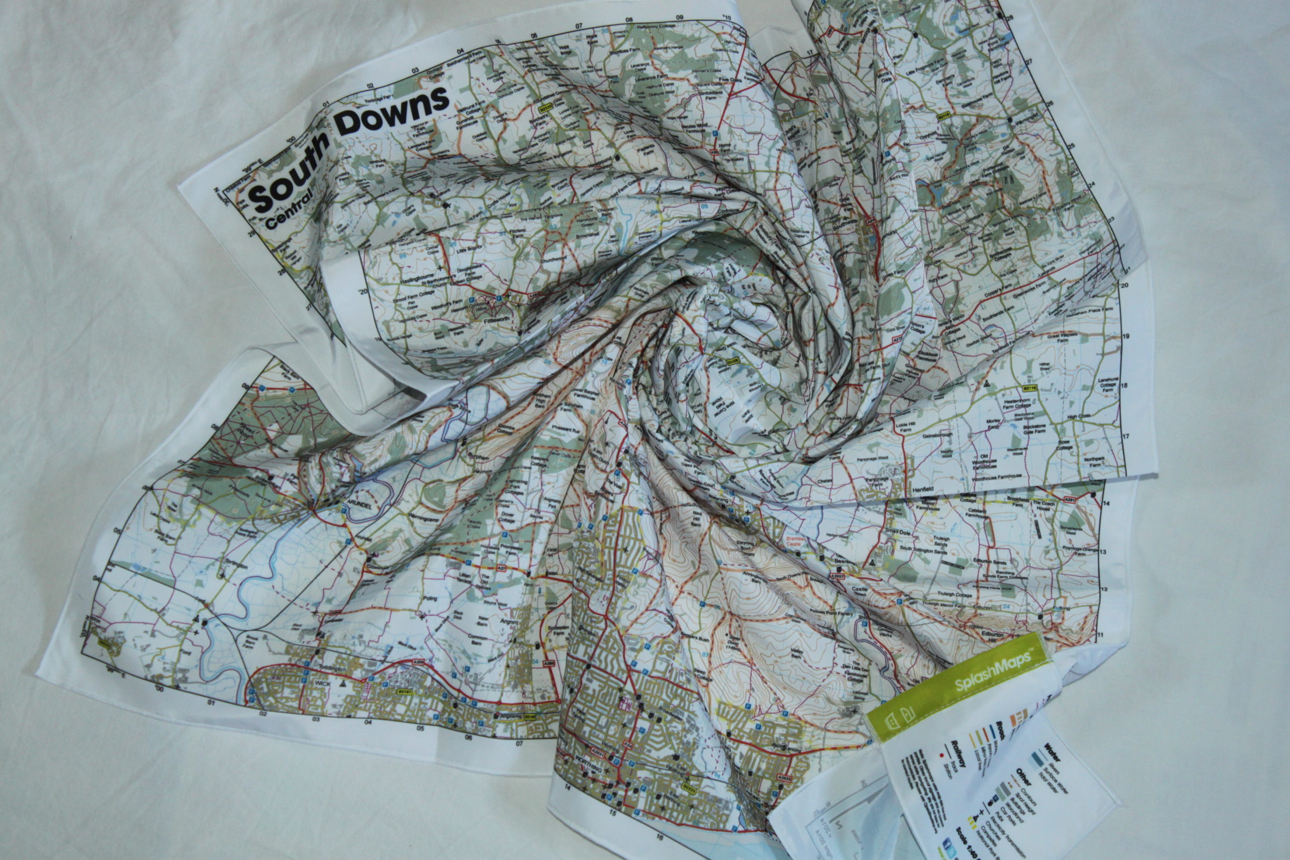
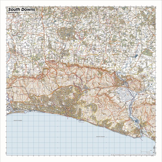
![2013-04-04_south_downs-central [Titles]](https://www.splash-maps.com/wp-content/uploads/2013/04/2013-04-04_south_downs-central_tn.jpg)

South Downs Central: A beautiful map in the center of the of the South Downs National Park. The Map is designed for outdoor adventures and features contours, the OS national grid, walking and riding trails, clearly designated and numbered roads and water bodies. Our signature pub, car park, church and camping symbols make navigating to your start and end points a doddle.
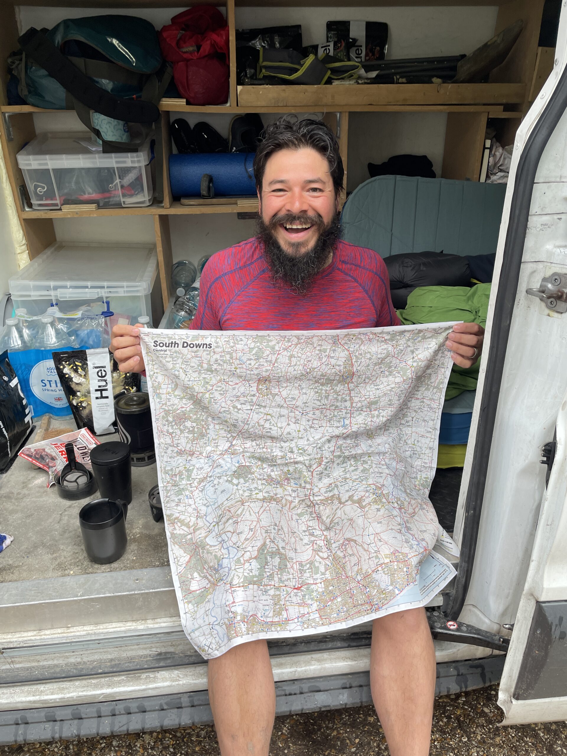
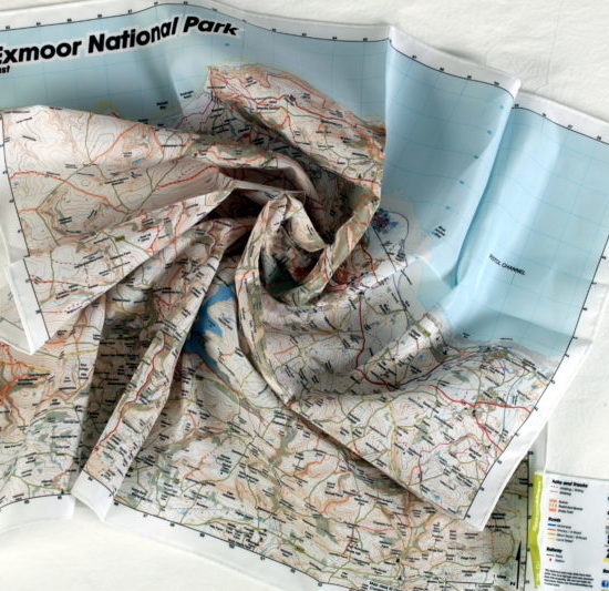
As with all SplashMaps this is a weatherproof and washable fabric map! Specifically designed for the REAL outdoors.
KEY INFORMATION:
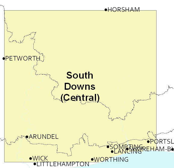
Major Settlements:
Horsham, Arundel, Wick, Worthing, Ashington, Billingshurst, Southwater and Cowfold, Tortington, Ford, Westburton Hill, Watersfield, Fittleworth, Wisborough Green, Adversane, Wey & Arun Canal, Pulborough, Rackham Hill, Crossbush, Anmering, Goring by Sea, Blackpatch Hill, Kithurst Hill, Storrington, West Chiltington, Gay Street, Five Oaks, Ashurst, Steyning, Lancing, Somting, Shoreham by Sea, Southwick, Truleigh Hill, Devils Dyke, Fulking, Woodmancote, Crabtree
National Grid Coordinates (Easting, Northing / Grid Reference):
Lower-left – 498200, 102500 / SU982025
Upper-right – 525800, 130100 / TQ258301
Scale:
1:50,000
Dimensions on map:
34.5km x 34.5km
Size of product (including borders):
72cm x 72cm (approximately)
| Weight | 0.06 kg |
|---|---|
| Dimensions | 72 × 72 cm |
| Map Scale | 1:50 000 |
Only logged in customers who have purchased this product may leave a review.


Reviews
There are no reviews yet.