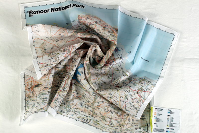
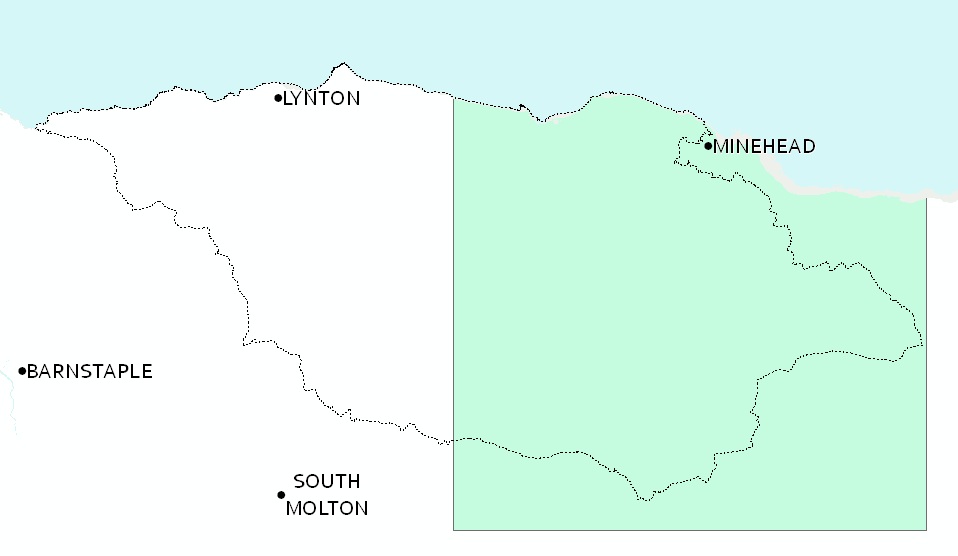
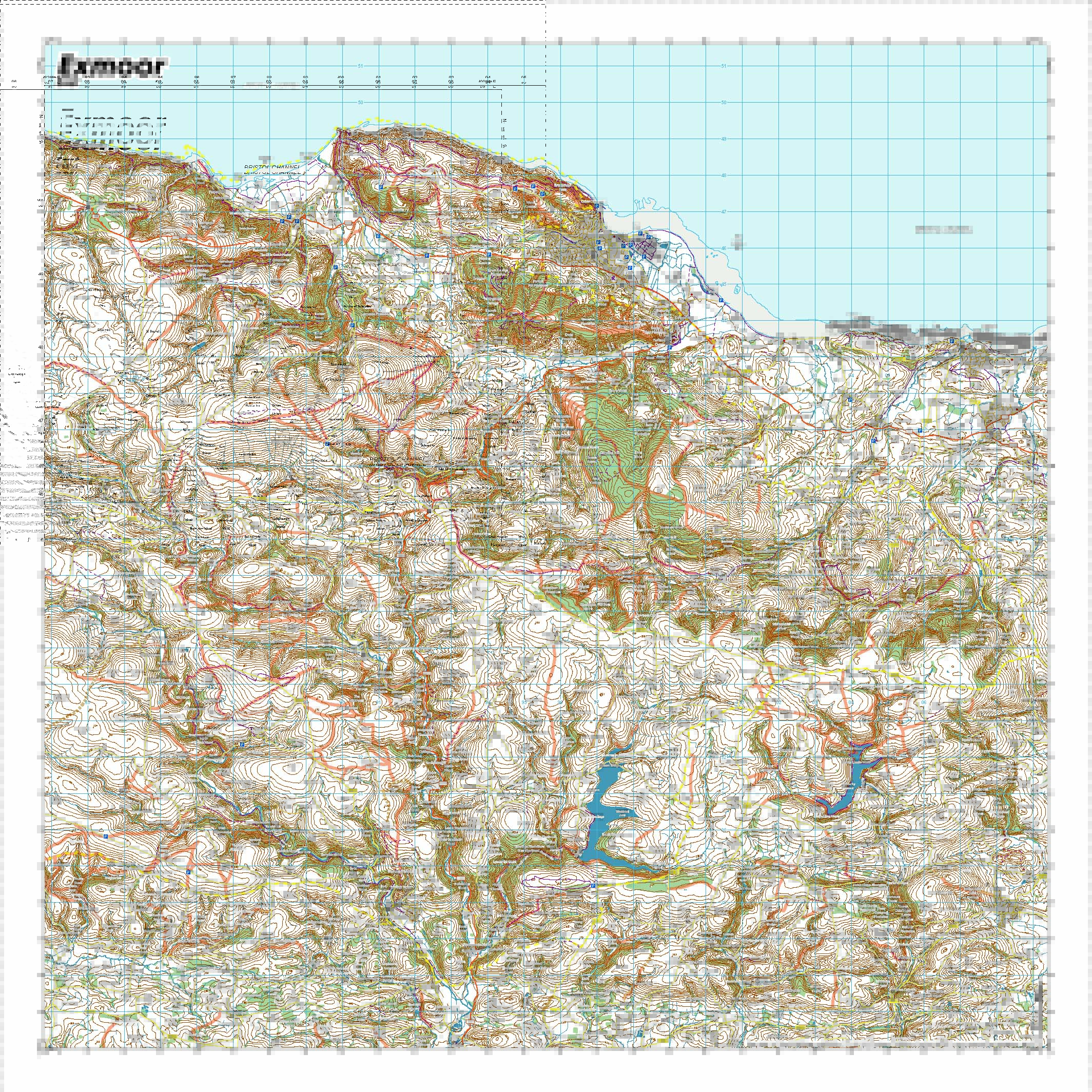

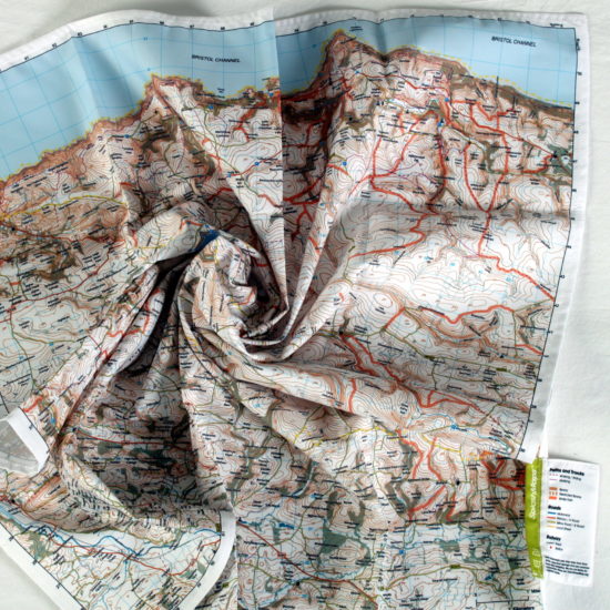
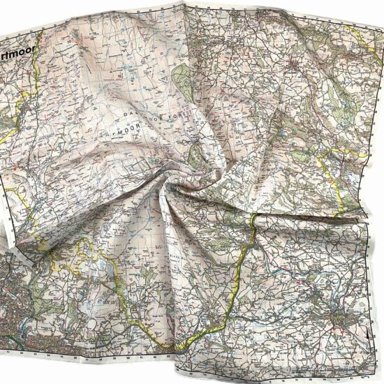
A beautiful Ordnance Survey Landranger style map of the eastern half of the Exmoor National Park. The Exmoor Map East SplashMap is made from a weatherproof fabric and designed for outdoor adventures. It features contours, the OS national grid, walking and riding trails, clearly designated and numbered roads and water bodies. OS’s pub, car park, church, camping and tourism symbols make navigating to your start and end points a doddle.
KEY INFORMATION:
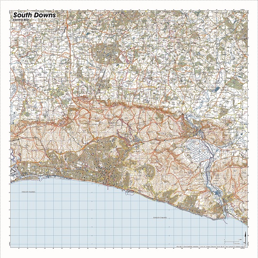
Major Settlements:
Minehead, Dulverton, Porlock, South West Coast Path, Luccombe, Exford, Winsford, East Anstey, Exebridge, Dulverton, Varle Hill, Greenslade Hill, Brompton Regis, Wheddon Cross, Treborough Common, Luxborough, Timberscombe, Periton Hill, Minehead, Dunster, Washford, Wiveliscombe, Williton, Monksilver, Watchet
National Grid Coordinates (Easting, Northing / Grid Reference):
Lower-left – 281800, 124000 / SS818240
Upper-right -309400, 151600 / ST094516
Scale:
1:50,000
Dimensions on map:
34.5km x 34.5km
Size of product (including borders):
72cm x 72cm (approximately)
| Dimensions | 73 × 73 cm |
|---|---|
| Map Scale | 1:40 000 |
Only logged in customers who have purchased this product may leave a review.


Reviews
There are no reviews yet.