Product Description
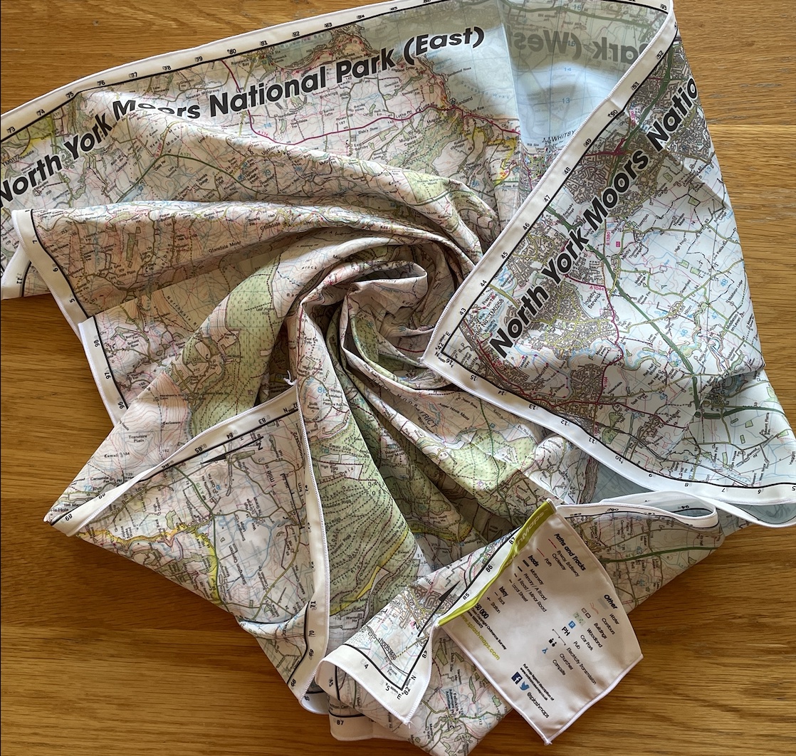
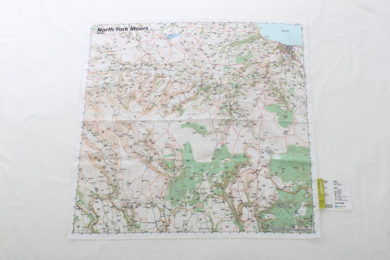
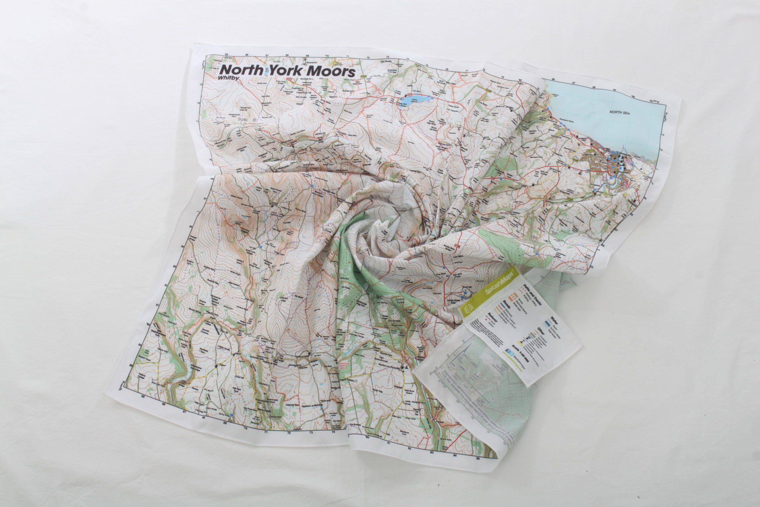
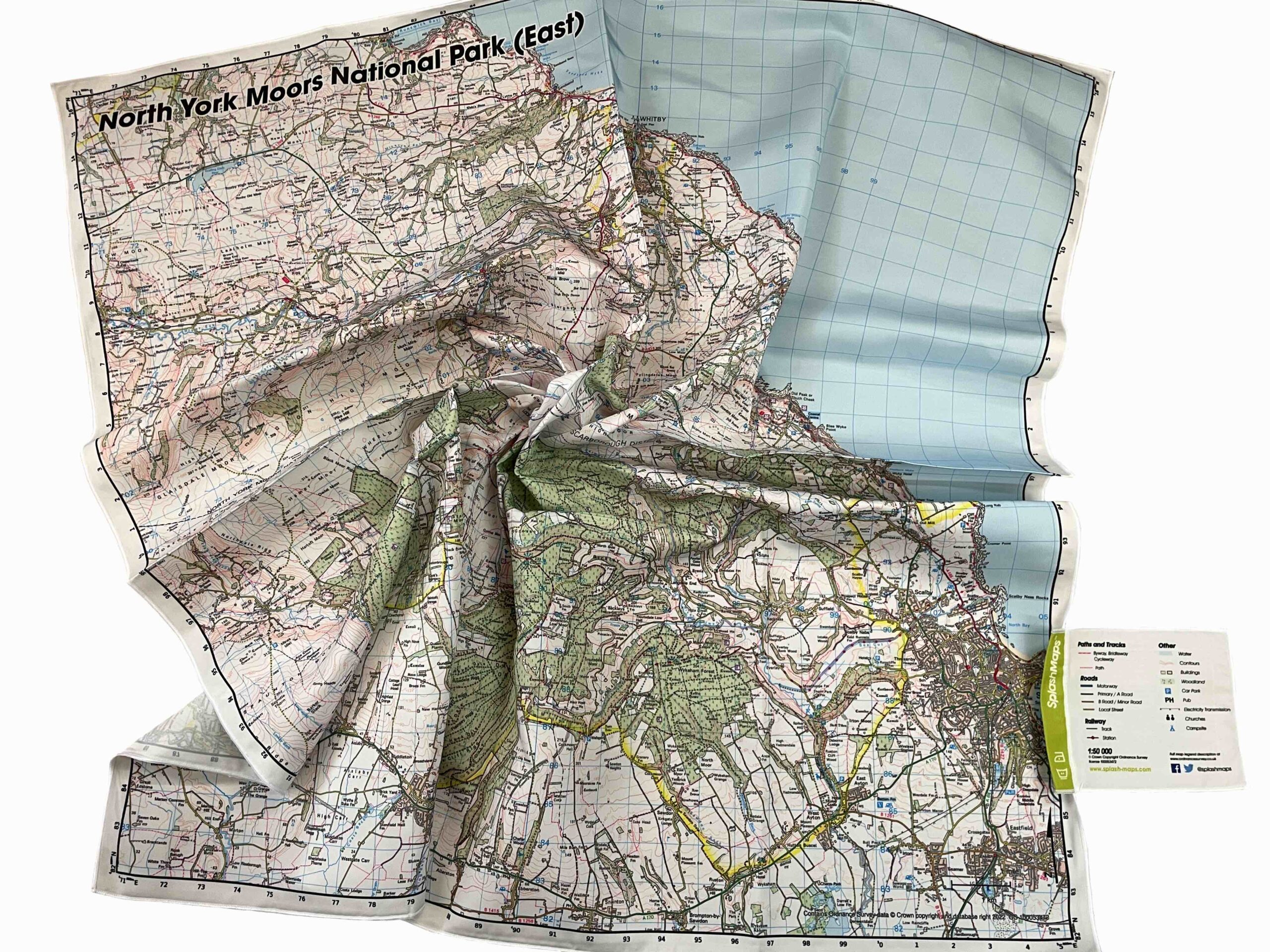
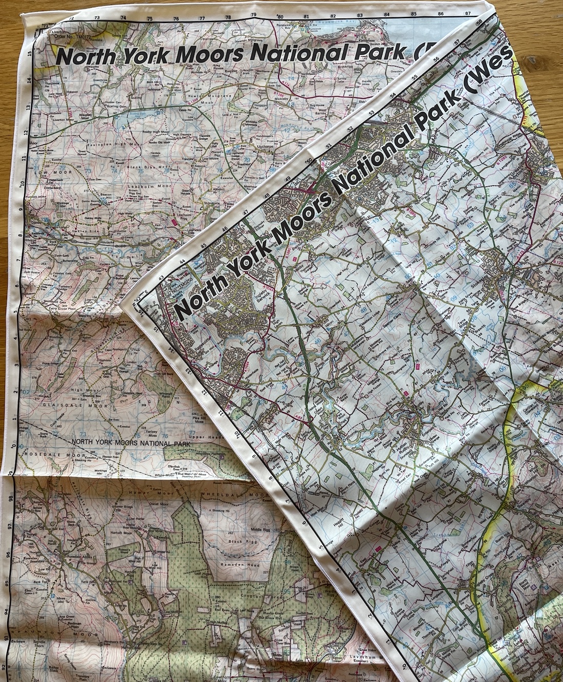
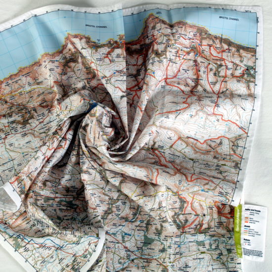
Our North Your Moors Map from SplashMaps covers the whole of the park over both sides of this super sharp printed fabric Ordnance Survey 50k scale map. It’s on weatherproof fabric and designed to survive everything, including ALL weathers. The dramatic North York Moors stretch-out to the North Sea at Whitby in the north east of the map to Stockton-on-Tees in the west. Thus it covers the whole of the park.
North York Moors Map in our destination series
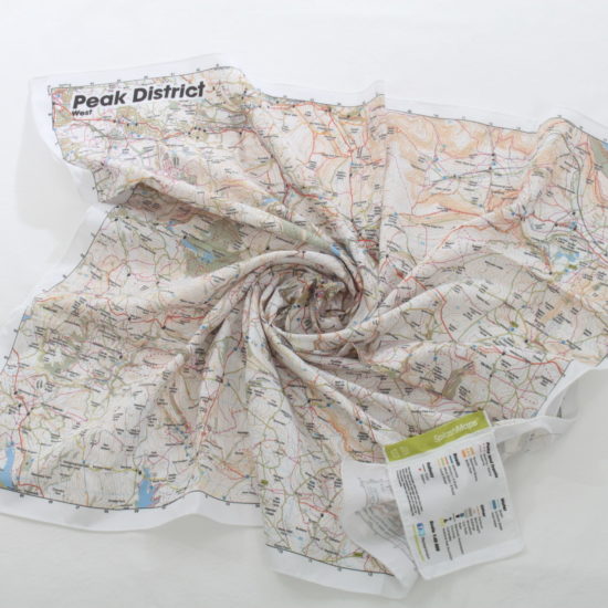
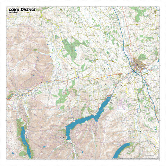
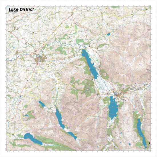
The North York Moors SplashMap is part of our destination series of maps which cover all National Parks and many areas of outstanding natural beauty in Britain. Check out our films of Awesome Destinations to inspire your way around the British Isles.
KEY INFORMATION:
Major Settlements:
East Side: Whitby, Rosedale Abbey, Spouton Moor, Commondale, Cropton Forest, Newton on Rawcliffe
West Side: Moorsholm, Danby, Stokesley, Ingleby Barwick, Crathorne, Old Thirsk, Boltby, The Hambleton, Kirkby Moorside. Stockton-on-Tees
National Grid Coordinates (Easting, Northing / Grid Reference):
East side: Upper-right -551000, 516400
West Side: Lower-Left -442200, 482000
Scale:
1:50,000 Ordnance Survey Landranger style
Dimensions on map:
34.5km x 34.5km x 2 (Total area coverage 2380km square)
Size of product (including borders):
72cm x 72cm (approximately)


Reviews
There are no reviews yet.