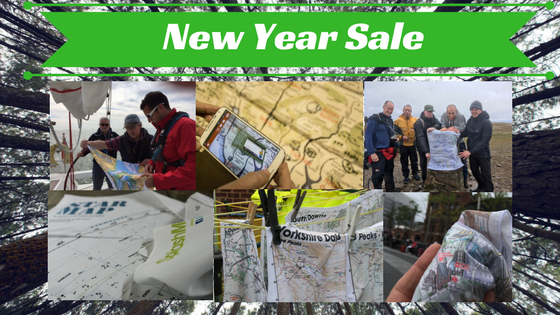
 Our latest sale sees prices on our most popular destinations slashed!
The most popular maps on our weatherproof fabric are between 50% and 30% off! WHILE STOCKS LAST. These indestructible SplashMaps are in areas where we know our customers participate in regular activities and destinations where they aspire to the bigger challenges!
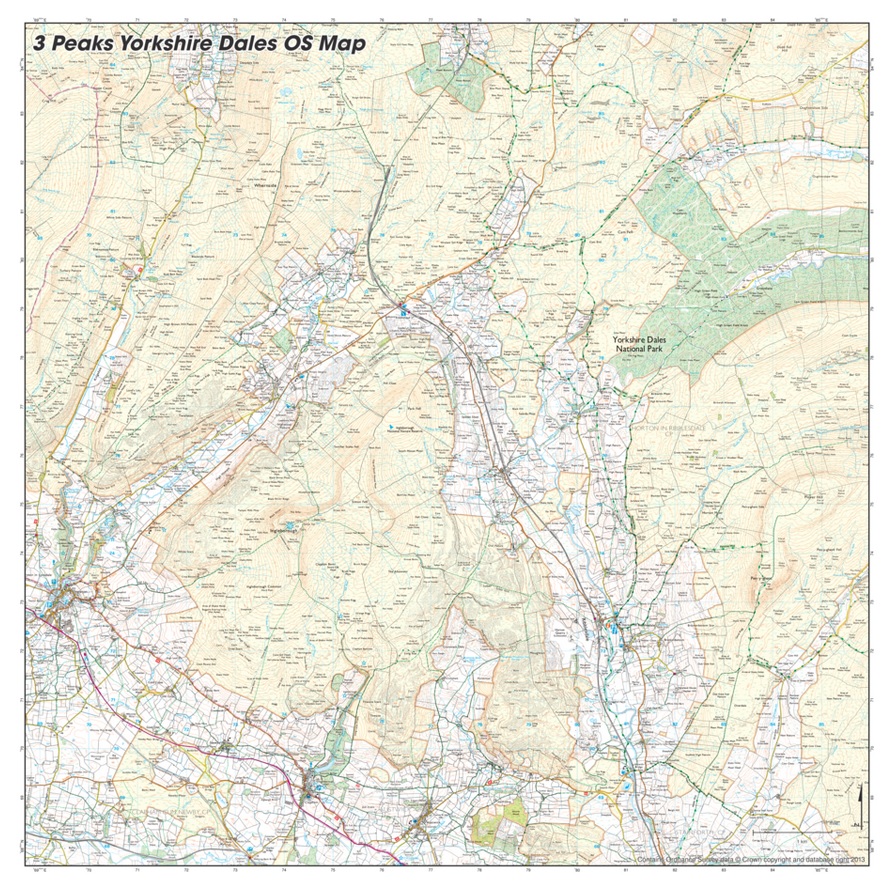 Specifically designed and tested by our own team who met the challenge in 2017. This SplashMap positions the Ordnance Survey Explorer image perfectly to capture all 3 Peaks at 1:25k on a single map. If you expect weather, it’s essential!
Home of the Ten Tors challenge, our Dartmoor SplashMap is one of our biggest – and now one of the cheapest – maps!
One of the greatest ultra running challenges on the planet! AND it takes in the finest peaks in the most beautiful and mountainous areas of England. Great for a slower pace too!
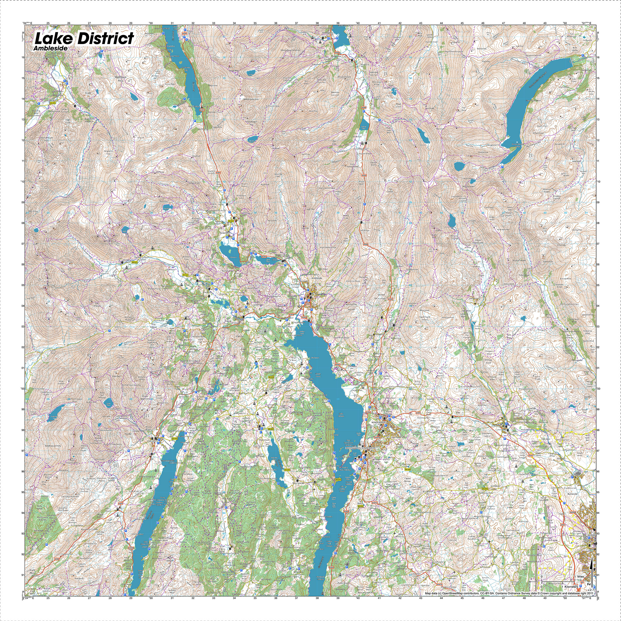 A beautiful destination SplashMap covering the essential middle and southern areas of the National Park. Find Ambleside, Windermere, Kendal, Coniston Water and Haweswater Reservoir in its folds.
For many, the entry to the park from the motorway through Penrith and onto Ullswater, Thirlmere and Haweswater Reservoirs. This map overlaps beautifully with the Ambleside SplashMap! Why not buy both?
It’s the most popular area of this National Park, according to our customers. We’re holding our annual challenge there too! With a great overlap with all other Peak District maps, take your choice and save!
Part of a 2-part series to cover the whole of this wild National Park. Take your pick!
For military and day trippers, the Brecon Beacons SplashMap at 1:40 000 is the ideal guide.
A stunning historically inspired satin scarf of London. With beautifully depicted 3D pictures of the landmarks, our skilled cartographer, Mike Hall, has created a navigation map as beautiful as it is practical.
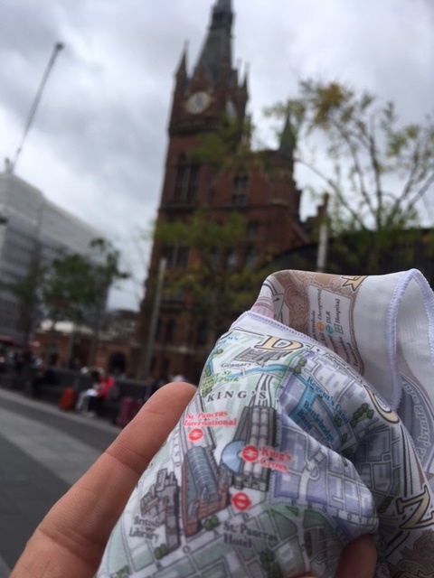
The natural choice for every London explorer. Covering the essential centre of the city, it is designed for visitors and commuters alike. Forget the underground. Spend your time among the splendours of the capital.
 This interactive map of Hampshire celebrates 600 years since Harry V’s victory at Agincourt. Use your smart phone to draw out video stories from the beautifully styled satin map.
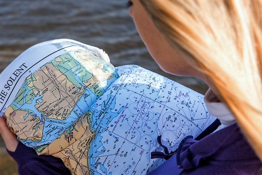
A must for the Sailors of southern UK. The sea chart is sea-proof and derived from the UKHO’s data. They’re half price!!