
$49


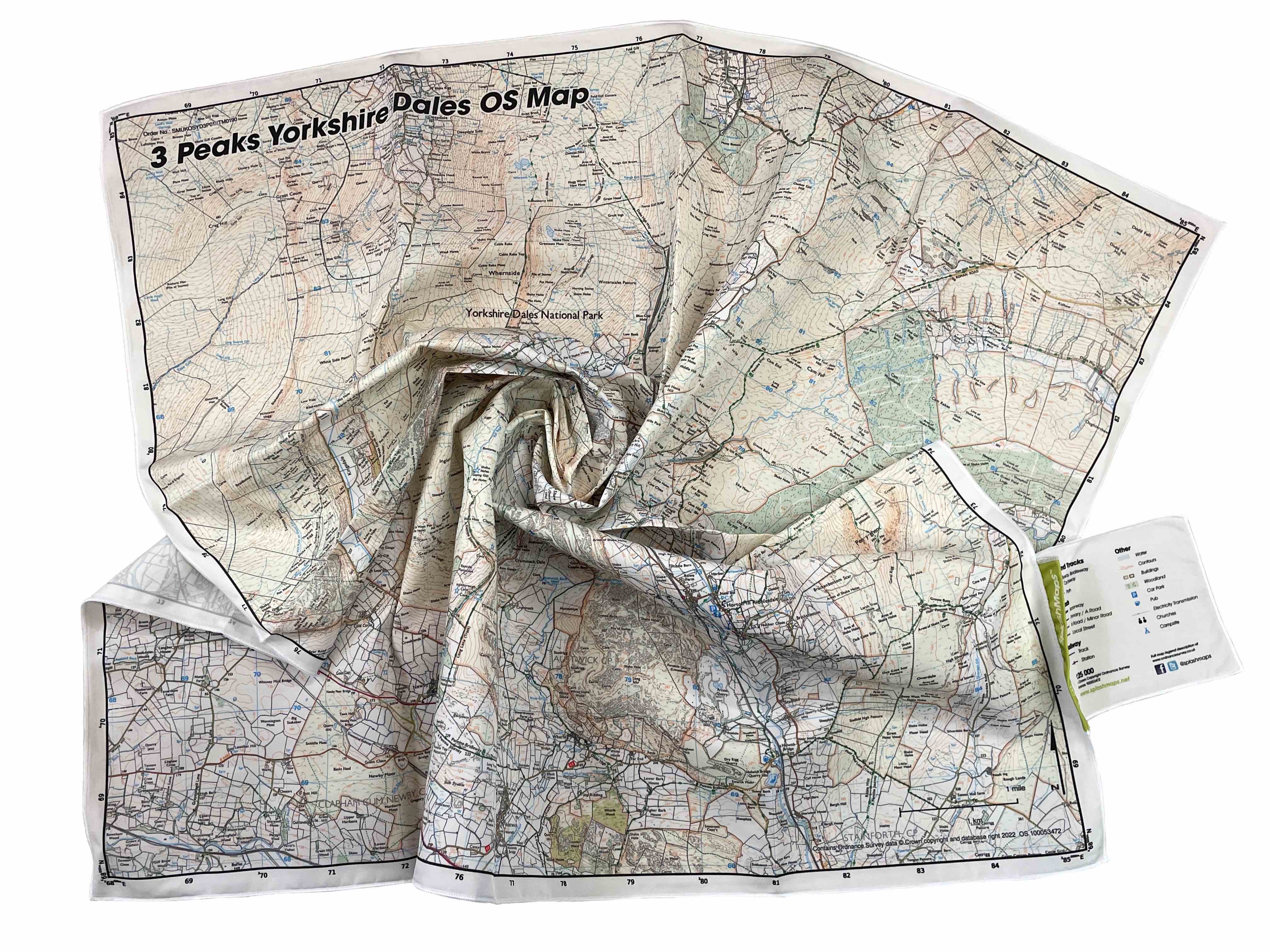
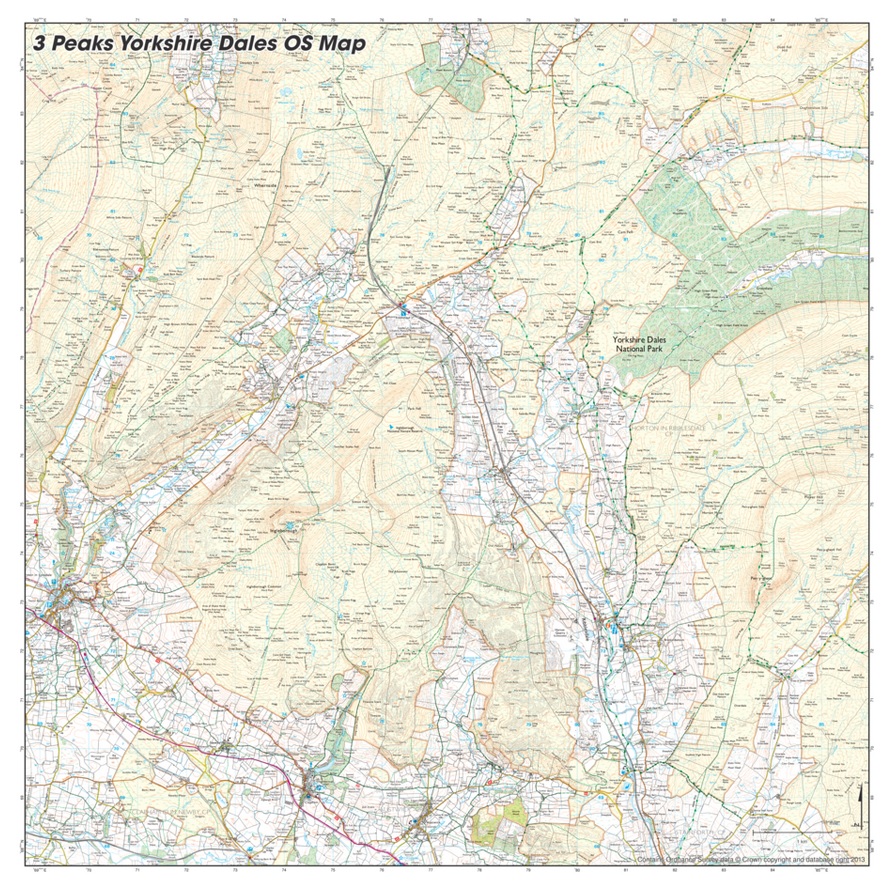
Our 3 Peaks Yorkshire Dales OS SplashMaps feature Ordnance Survey’s brilliantly detailed 1:25k explorer detail on a breathable and weatherproof fabric scarf. Want to shift your Yorkshire Map? Choose a different scale? Have it made in another of our 10 different product varieties? Start here.
Available on backorder
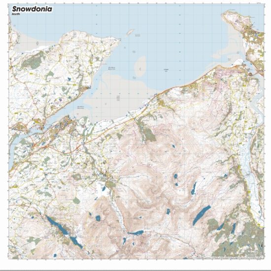
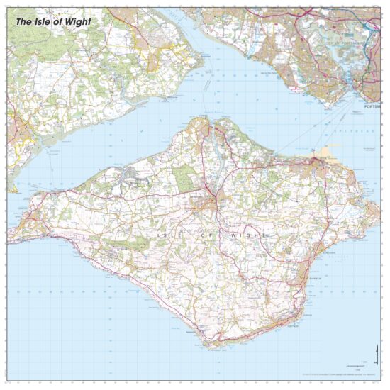
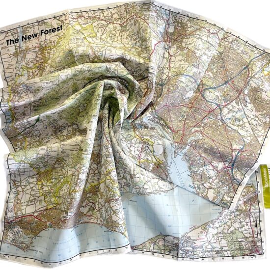
SplashMaps’ weatherproof fabric 3 Peaks Yorkshire Dales OS Map uses the Ordnance Surveys own map image, covers 196 square kilometres of this dramatic park at 1:25 000 scale. Essentially it’s an Ordnance Survey Map but way more practical on our performance polyester than any type of paper currently used by other map makers! This map is positioned to cover all routes and starting points for the 3 Peaks Challenge itself and is ideal for any outing in this dramatic part of the Dales. The map uses all the tourism detail you’d expect from the Ordnance Survey.
Want this re-positioned or on a product design that works better for you? Start here for other Maps of Yorkshire and chose the scale and format that works for your Yorkshire challenge!
The Yorkshire Dales are full of awesome destinations. So much so that we keep well-stocked maps of the whole park as well as a focussed walking scale SplashMap of the 3 Peaks challenge in particular. Go there and just love it. Whatever the weather!
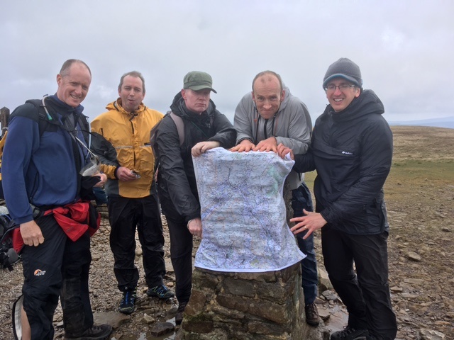
The SplashMaps team and friends take on the 3 Peaks in Yorkshire in very wet, windy and sunny weather, proving our grit and the strength and durability of our Pro fabric maps.
Rainy conditions began before our 6am start, but that didn’t dull our enthusiasm.
Starting at the trail to Ingleborough we took on a rainy Pen-y-Ghent before the sun broke through on our long stride to Whernside.
The film includes top tips on keeping a mixed group on track, motivated and well navigated!
KEY INFORMATION:
Major Settlements/ Features
Ingleton, Chapel-le-Dale, Ribbledale, Horton, High Pike, Pen-y-ghent, Ingleborough, Whernside, Selside, Crag Hill, Deepdale, Viaduct, Ribblehead, Clapham, Sulber, Pennine Way, Horton Moor, Pen-y-ghent Fell, Austwick, Cam Woodlands, Greenfield, Old Ing Moor, Foxup Moor, Ber Gill, Outershaw Beck
National Grid Coordinates (Easting, Northing / Grid Reference):
Lower-left – 369000, 468000
Upper-right – 386000,485000
Scale:
1:25,000
Dimensions on map:
13.8 km x 13.8km
Size of product (including borders):
72cm x 72cm (approximately)
| Dimensions | 73 × 73 cm |
|---|---|
| Map Scale | 1:25 000 |
Only logged in customers who have purchased this product may leave a review.
Washable, wearable, all-weather worldwide Maps. Experience true confidence in your adventure.

| Cookie | Duration | Description |
|---|---|---|
| cookielawinfo-checkbox-analytics | 11 months | This cookie is set by GDPR Cookie Consent plugin. The cookie is used to store the user consent for the cookies in the category "Analytics". |
| cookielawinfo-checkbox-functional | 11 months | The cookie is set by GDPR cookie consent to record the user consent for the cookies in the category "Functional". |
| cookielawinfo-checkbox-necessary | 11 months | This cookie is set by GDPR Cookie Consent plugin. The cookies is used to store the user consent for the cookies in the category "Necessary". |
| cookielawinfo-checkbox-others | 11 months | This cookie is set by GDPR Cookie Consent plugin. The cookie is used to store the user consent for the cookies in the category "Other. |
| cookielawinfo-checkbox-performance | 11 months | This cookie is set by GDPR Cookie Consent plugin. The cookie is used to store the user consent for the cookies in the category "Performance". |
| viewed_cookie_policy | 11 months | The cookie is set by the GDPR Cookie Consent plugin and is used to store whether or not user has consented to the use of cookies. It does not store any personal data. |
Reviews
There are no reviews yet.