

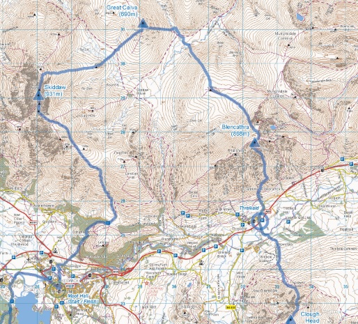
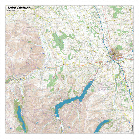
The Lake District Map – Bob Graham Round SplashMap is ideal for those running one of the greatest Fell Running challenges in the world. The 42 peak, 62 mile route is clearly marked on our indestructible fabric SplashMap with all the navigable features that will help more people realise their running potential. Taking it slower? The circular route takes in breathtaking views from the stunning peaks and is increasingly used by keen walkers who can overnight near the clearly marked cross-over points used by the runners and support teams.
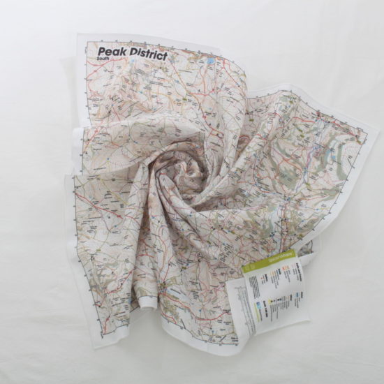
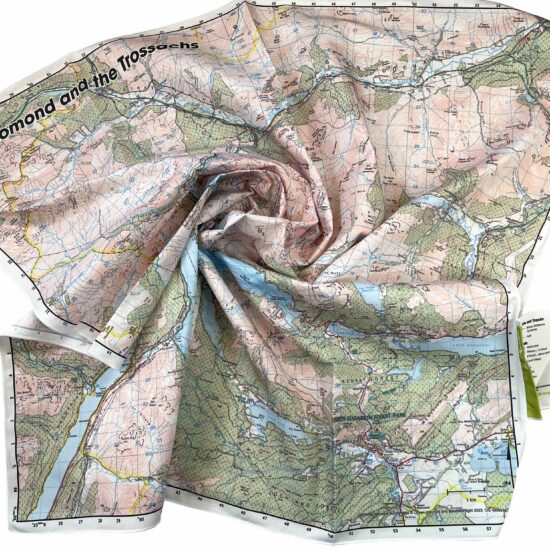
The Map is designed for outdoor adventures and features contours, the OS national grid, walking and riding trails, clearly designated and numbered roads and water bodies. Our signature pub, car park, church and camping symbols make navigating to your start and end points a doddle.
This map was designed in conjunction with Steve Chilton, author of the award winning book “It’s a Hill Get Over It!” and a forthcoming book on the history of the Bob Graham Round itself.
KEY INFORMATION:
Major Settlements and Features:
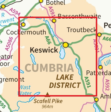
Bassenthwaite, Grasmere, Keswick, Derwent Water, Thirlmere, Helvellyn, Scafel, Skiddaw, Blencathra, Steeple
National Grid Coordinates (Easting, Northing / Grid Reference):
Lower-left – 310000, 505000 / NY100050
Upper-right – 337400, 532400 / NY374324
Scale:
1:40,000
Dimensions on map:
27.6km x 27.6km
Size of product (including borders):
72cm x 72cm (approximately)
Product Detail: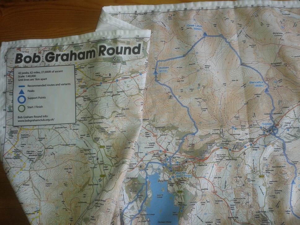

Save
| Dimensions | 73 × 73 cm |
|---|---|
| Map Scale | 1:40 000 |
Only logged in customers who have purchased this product may leave a review.


Reviews
There are no reviews yet.