The United Kingdom has many beautiful landscapes and historic sites that are worth visiting. That’s why we’ve chosen eight UK maps that really help you discover new places, show where each place is located and highlight why they belong on your itinerary.
The United Kingdom is home to some amazing national parks. In England, Wales and Scotland these include the Lake District, Snowdonia, Dartmoor, Exmoor, Northumberland, Yorkshire Dales, Peak District, and Brecon Beacons. Each one offers something different from the other. For example, the Lake District is known for its lakes and mountains while the Yorkshire Dales is known for its unique geology, rolling hills and valleys. The Peak District National Park draws you in with its dramatic scenery, such as the Derbyshire Peaks, and the Brecon Beacons National Park is home to the formidable military training grounds around the Pen-y-Fan mountain.
But with so many areas of outstanding natural beauty beyond these parks, we’ve made our collection of 8 UK maps to help you discover new places.
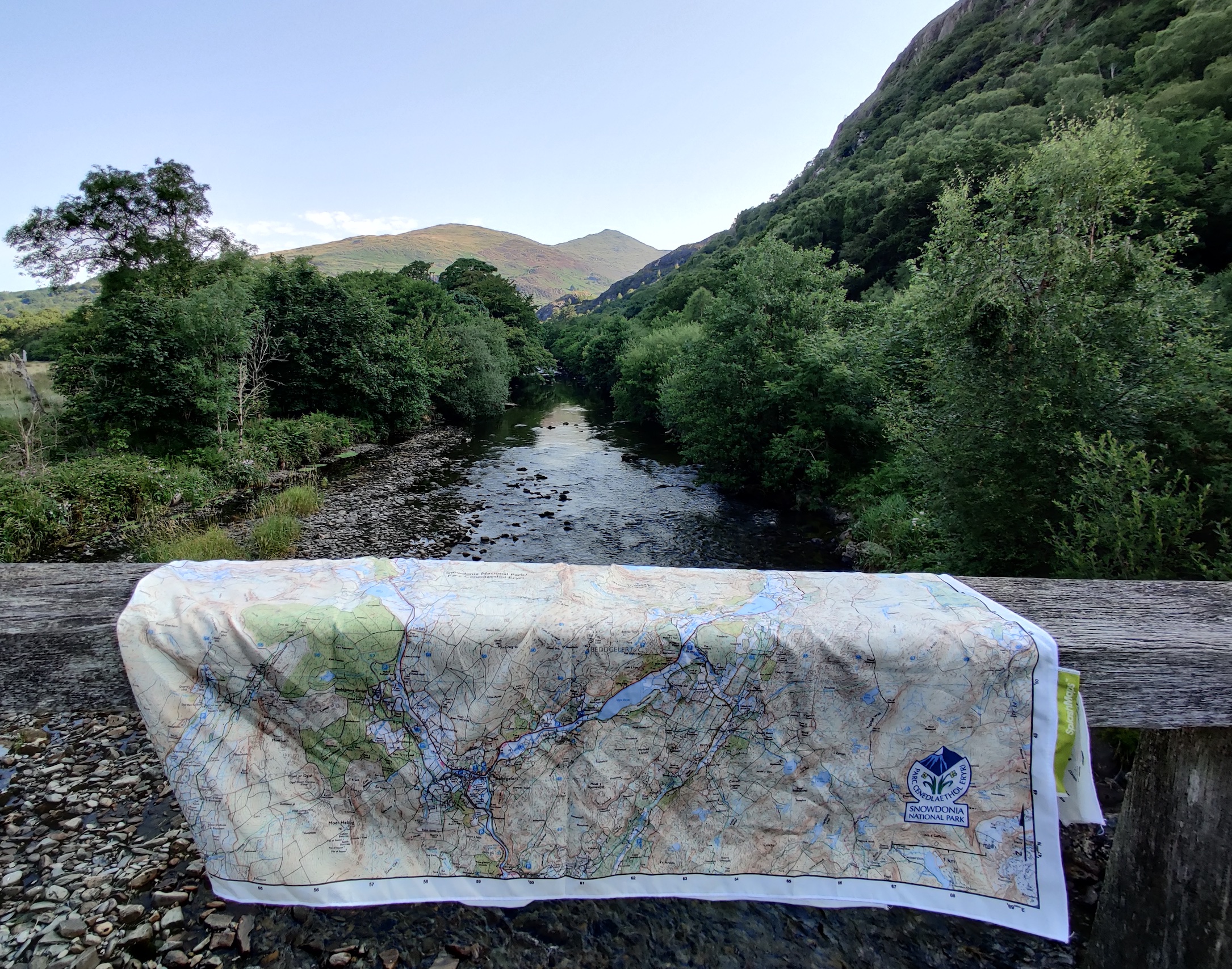
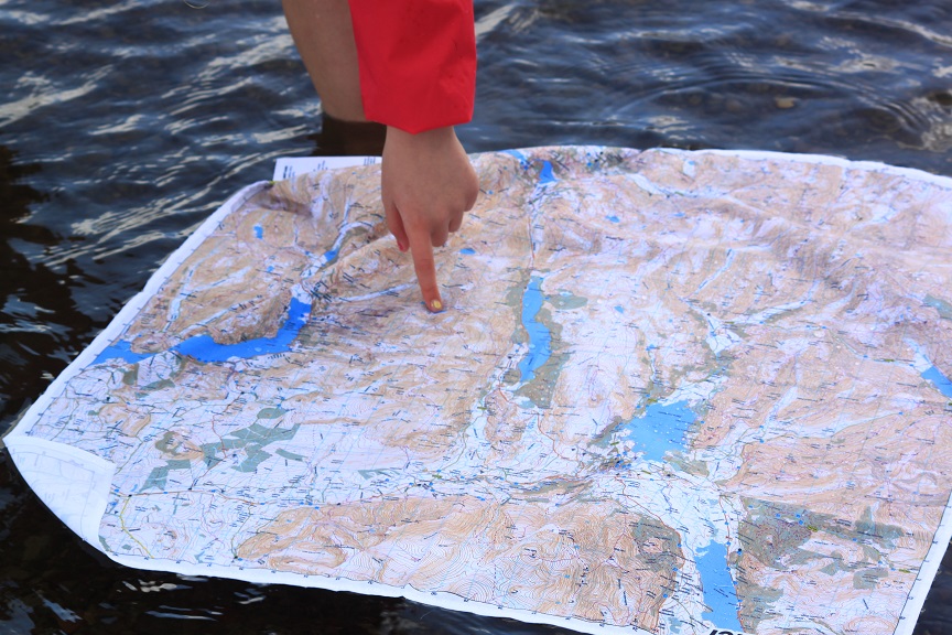
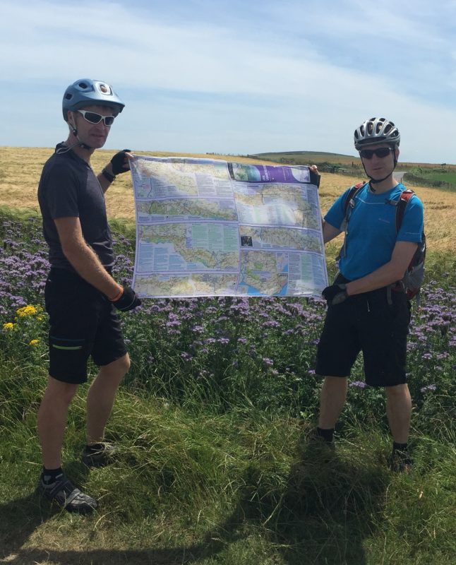
These maps from SplashMaps are carefully selected and re-created from data collected by the Ordnance Survey. Long distance challenge maps are reproduced from Harvey Maps’ outstanding long-distance series. Each map shows the essential detail of the park, the type of terrain, and the main attractions. For example, contours, car parks, viewing points, visitor attractions, trails and their designations and even scree and rock detailing.
All UK Maps featured below are held and replenished in stock all year round so we’ll ship them to you as soon as you order! Buy Now for your adventure*, even if it’s just days away!
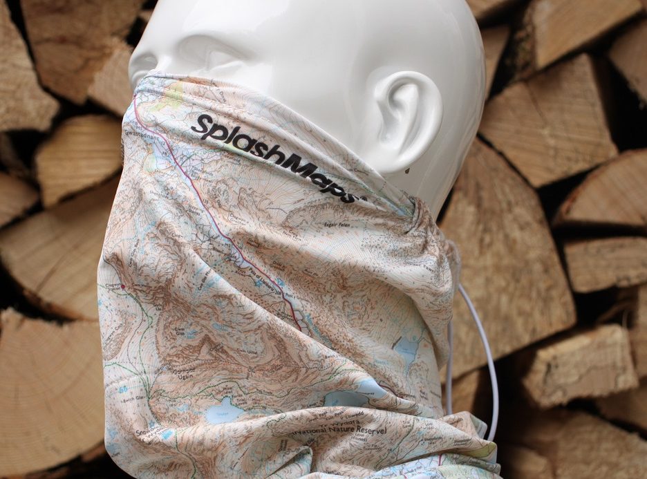
Snowdon is Wales’ highest peak and one of the UK’s National 3 Peaks Challenge. The Toggle Toob is a fantastic choice for mountains. Whatever the weather when you started, you can experience all 4 seasons between base and peak. The Toggle Toob map provides guidance as a map and doubles up as a neck warmer, balaclava or even added UV protection, perhaps worn under an MTB helmet. Like all our products, this is a serious and navigable map, produced to scale and ready to adventure!
The South Downs Way is part of our UK Maps series covering the best Long Distance trails (often National Trails). Long distance trails may be a lifetime experience for you, or could be another in the collection for others. Either way, these maps contain useful information such as the different walking and cycling trails, water stops, translations for key infrastructure and emergency use. Amazingly long distances are achieved on a handy sized map thanks to some clever map design from Harvey Maps. For example, the South Downs Way is over 100 miles, yet a highly detailed map (2.5cm = 1km!) is achieved on a map that rolls-up to the size of a sock!
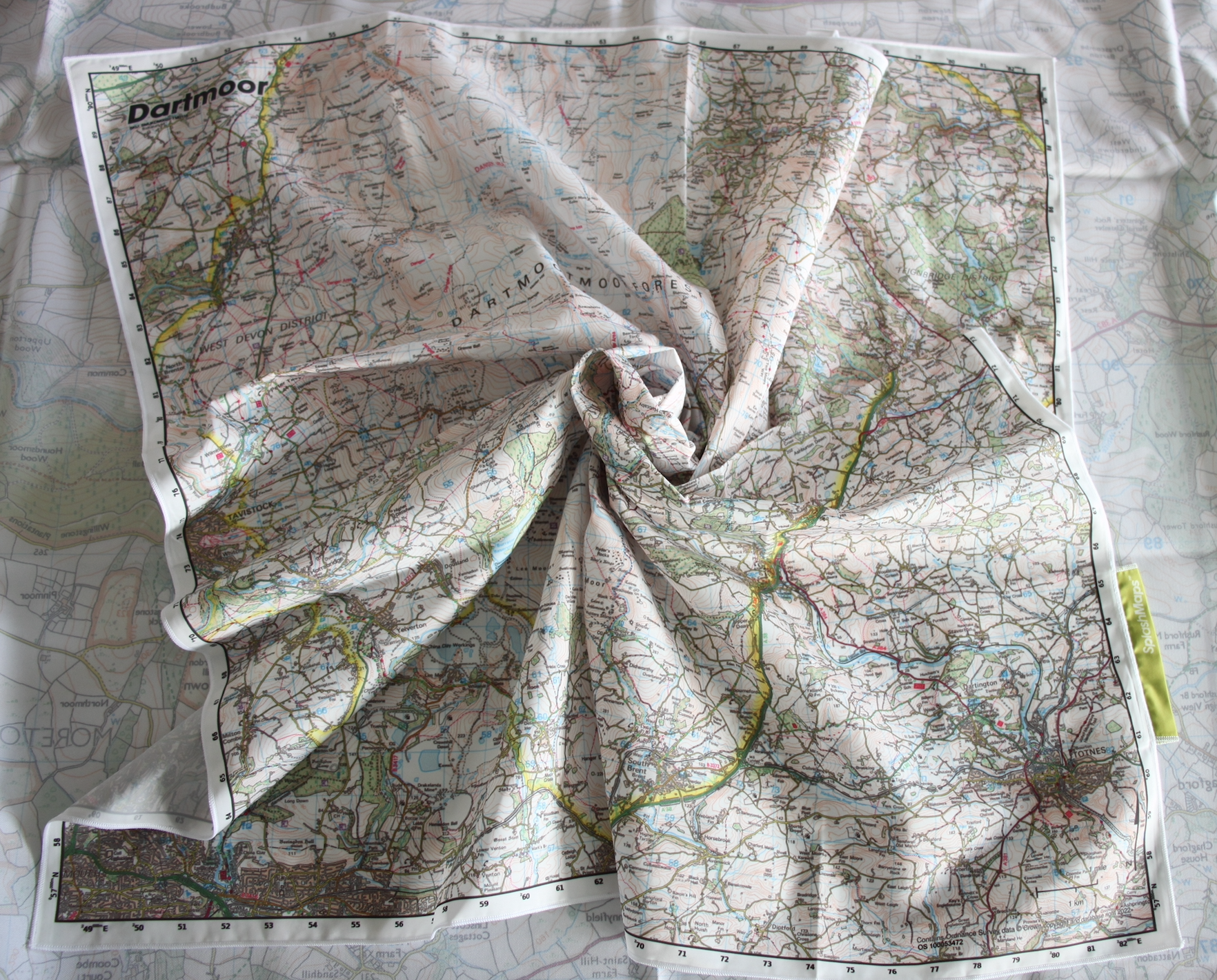
Recently upgraded to an Ordnance Survey 1:50k scale Landranger style UK Map, the Dartmoor SplashMap covers the whole park in a single 72 x 72cm weatherproof sheet. As with all our Destination Maps of the UK, It’s the ultimate map. Difficult to wreck in any unintentional way, and pretty tough in every other aspect! We’ve selected our Pro weatherproof fabric NOT to stretch or shrink ever! That’s why you can stick it in the washing machine, wear it as a bandana or even carry your kit in it.

Why not show your pride in your city when you’re in the hills? The Ukraine Toob is our ‘all profits to charity’ offering providing much needed aid for the displaced of that terrible war. Available in our new Toggle Toob format (with comfortable inner mesh and drawstring on our highest quality spandex material), the great cities of Europe go beyond our UK Maps collection. For example, Copenhagen, Oslo, London and Manchester are all available in vibrant colours.
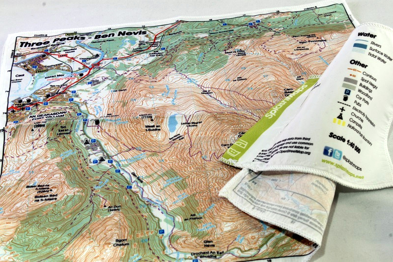
The National 3 Peaks is a famous challenge. Encompassing the 3 tallest mountains with hundreds of miles in between the Cairngorms, Lake District and Snowdonia. Many map makers would stick them on the same sheet! And some challengers take them all on paper sheets! For us a 20 x 20cm sheet gives you all the information you need with enough map to mop with brow with at the top.

Hampshire is uniquely fortunate in encompassing 2 national parks! Yet, some of the most unspoilt, uncrowded and beautiful parts are found between these places. That’s why our Test Valley map is a best seller. This map links the beautiful Historic towns of Winchester, Stockbridge and Romsey with tranquil Dorset Downs, wonderful Wessex Hills and bounds the South Downs series to the West and the New Forest Map to the South! Buy from stock NOW!
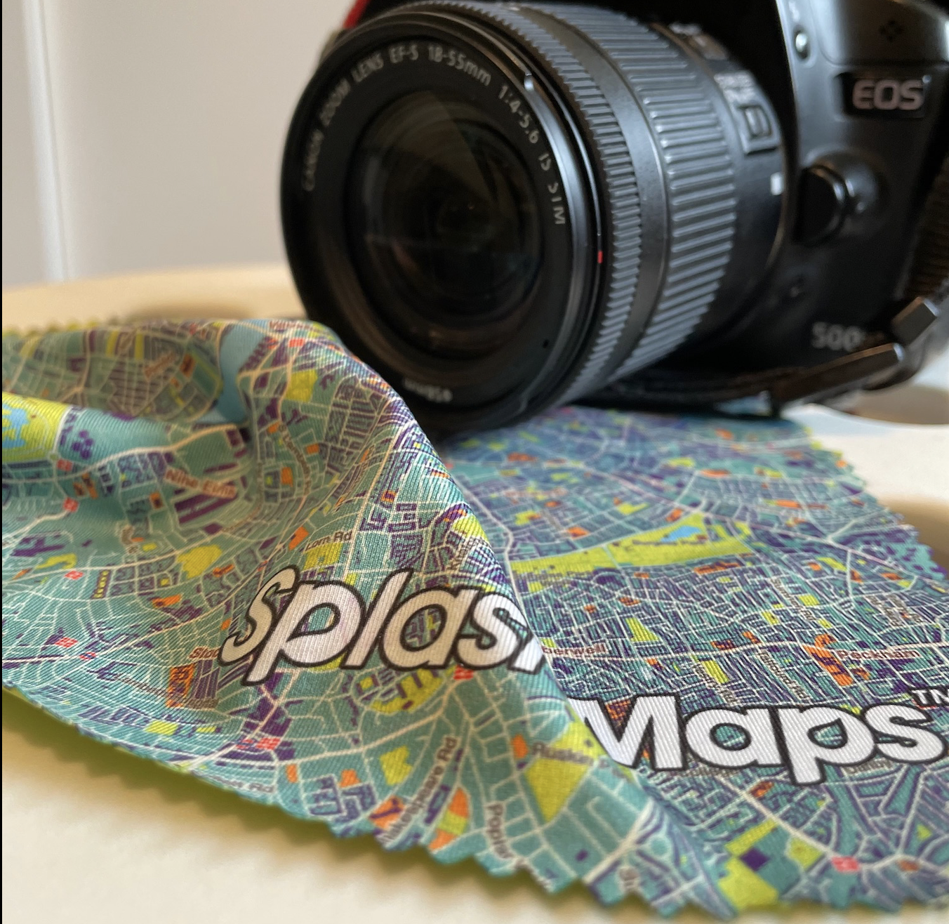
Our Lens cloth series keeps all your optics clean. Because it was designed together with a BBC cameraman, the vibrant design will get noticed and the fabric is perfect for a spotless lens.
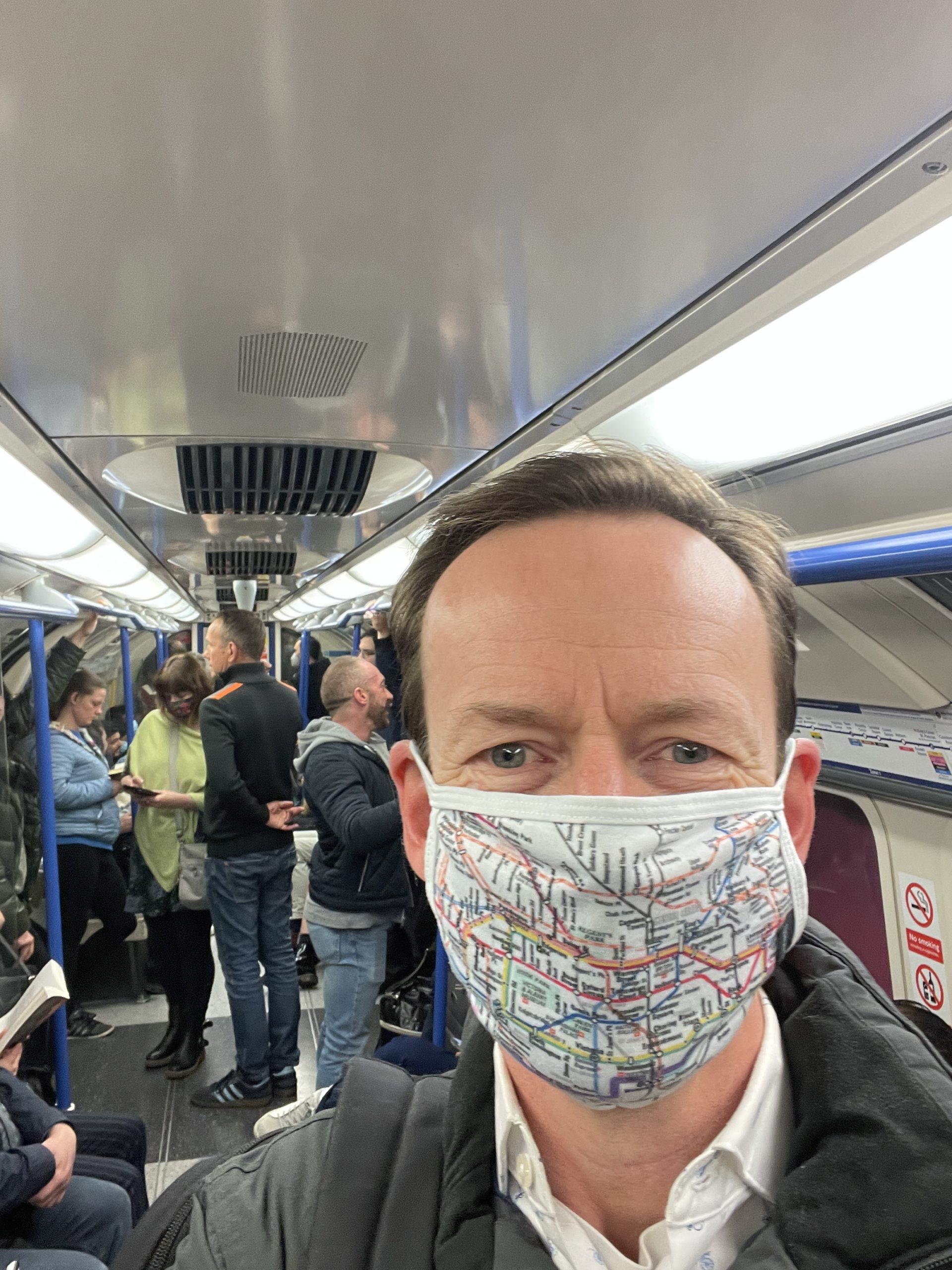
As an alternative, the London Underground face mask helps navigate this famous subterranean train network. Keep germs to yourself with our comfortable multi-layered design and take an occasional peep at the detail to check you’re on the right track!
All our maps are created to last, to guide and to embrace any adventure. Don’t hang about! Your next adventure starts here!
*NOTE: products that appear as ‘on back order’ will be on our next manufacture. See FAQ’s for the latest delivery news.
