Some customers place an order and move on. Others become part of the story. Don Stickland firmly belongs in the latter category.
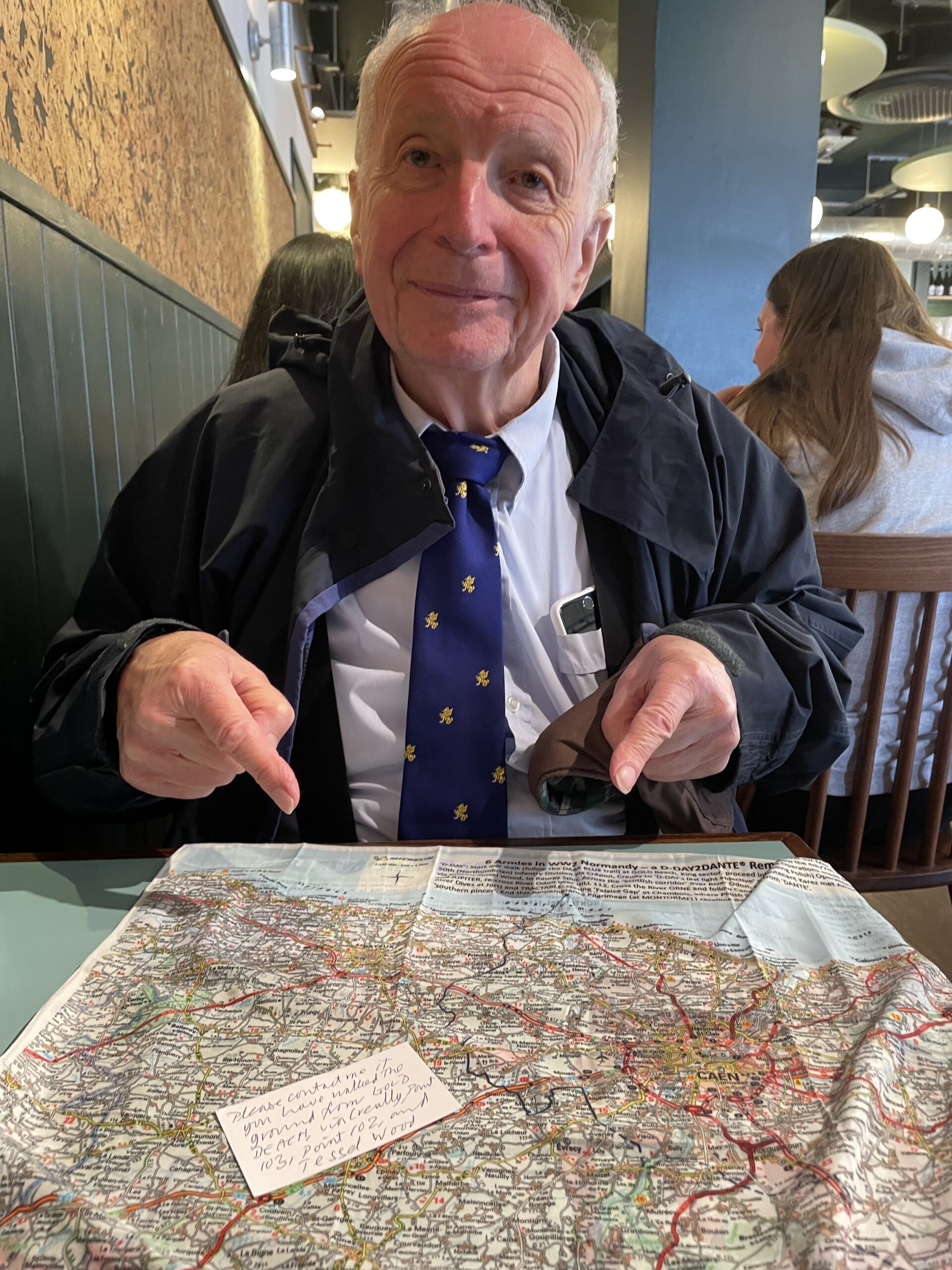
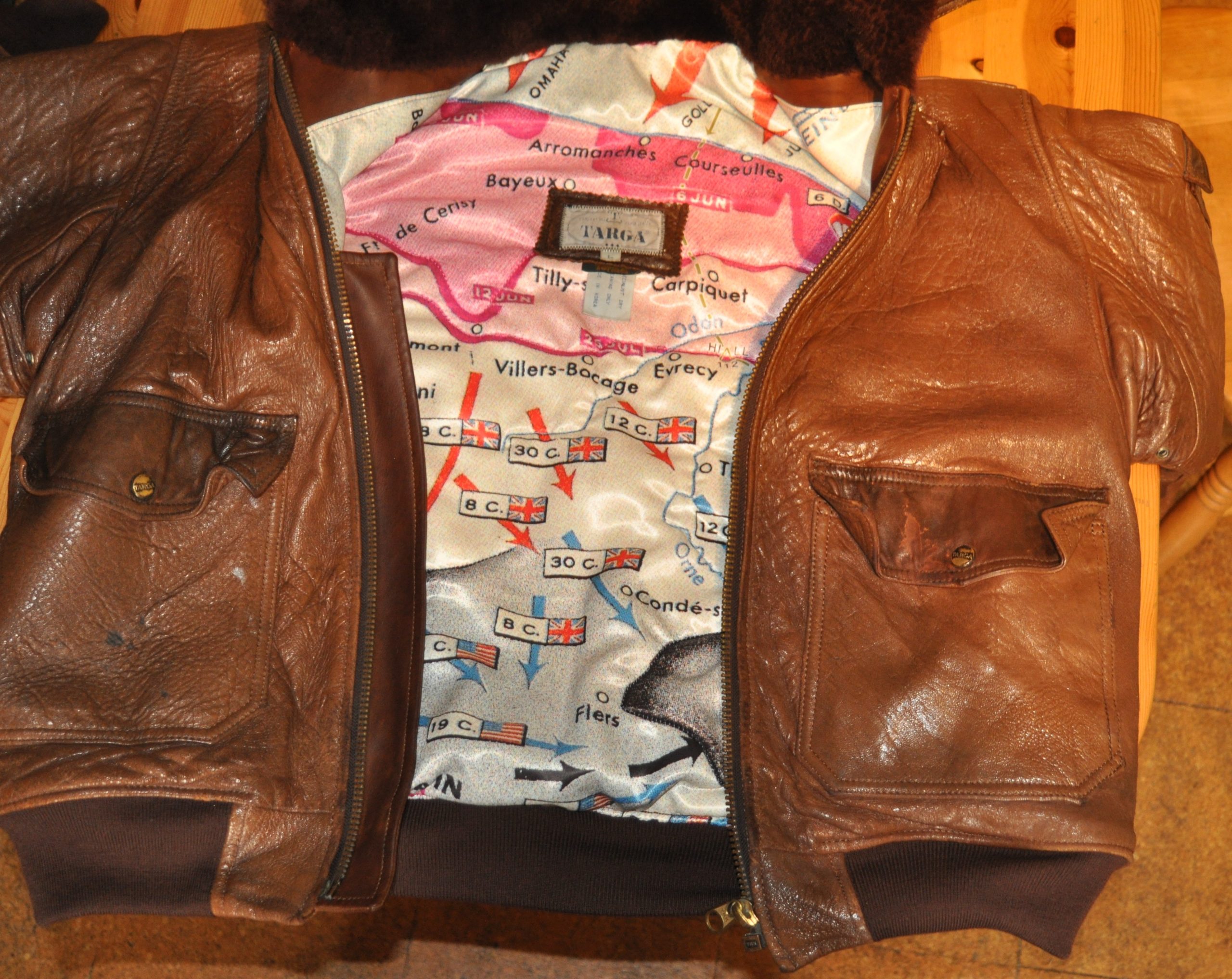
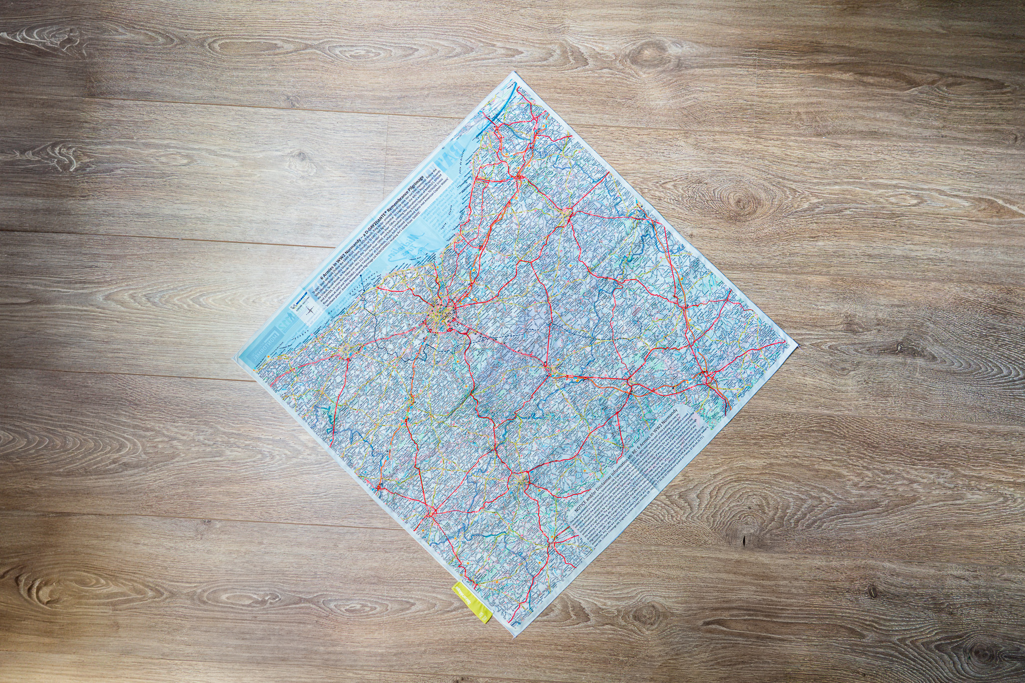
One of our most determined and passionate customers, Don commissioned SplashMaps to create a unique map, the 6 Armies in Normandy – WW2 walking SplashMap, commemorating the Normandy Landings and the Allied liberation of France during the summer of 1944. His vision was simple but powerful: to help people connect with history by following the ground over which British and Canadian troops fought their way inland after D-Day.
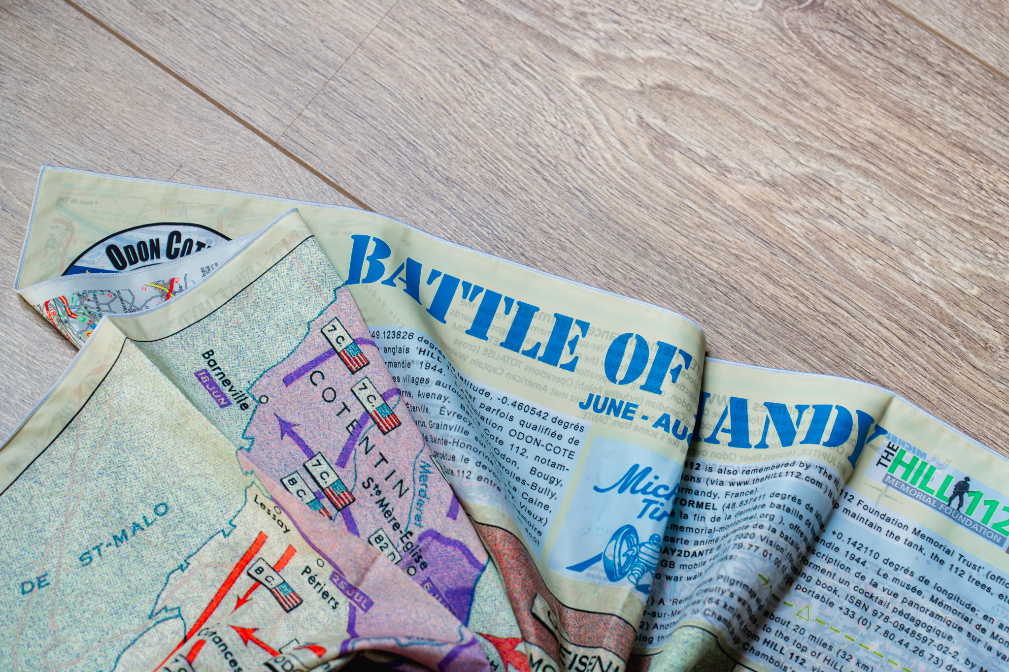
The result is a remarkable walking route of more than 70 miles, stretching from Gold Beach to the Museum at Montormel. Along the way, walkers experience the countryside, villages, ridges and valleys that witnessed some of the most significant events of the Normandy Campaign between 6th June and August 1944.

In the top picture you see Don doing what he does best – enthusiastically persuading me to test the route on my mountain bike! He had just returned from commemorations at Lepe Country Park, where thousands of British troops gathered on 3rd June 1944 before embarking on the perilous Channel crossing that would lead to the Normandy invasion. Standing at Lepe today, it’s difficult not to reflect on the courage of those young men heading into the unknown.
With National Armed Forces Week taking place across the UK from 22nd to 28th June, there is no better time to explore this special map. Designed in collaboration with Don, it combines key troop movements from the campaign with a contemporary map and clearly marked trail, helping walkers, cyclists and history enthusiasts understand both the military story and the landscape itself.
Whether you’re planning a pilgrimage to Normandy, researching family history, or simply wishing to pay your respects to those who secured the freedoms we enjoy today, this map offers a meaningful way to engage with one of history’s defining campaigns.
Their sacrifice shaped our future. This trail helps ensure their story continues to be walked, remembered and shared.
