
Our new Hadrian’s Wall Challenge Map is a big step forward for the SplashMaps Challenge Series, setting the benchmark for all future editions covering National Trails, Caminos and other iconic long-distance routes.
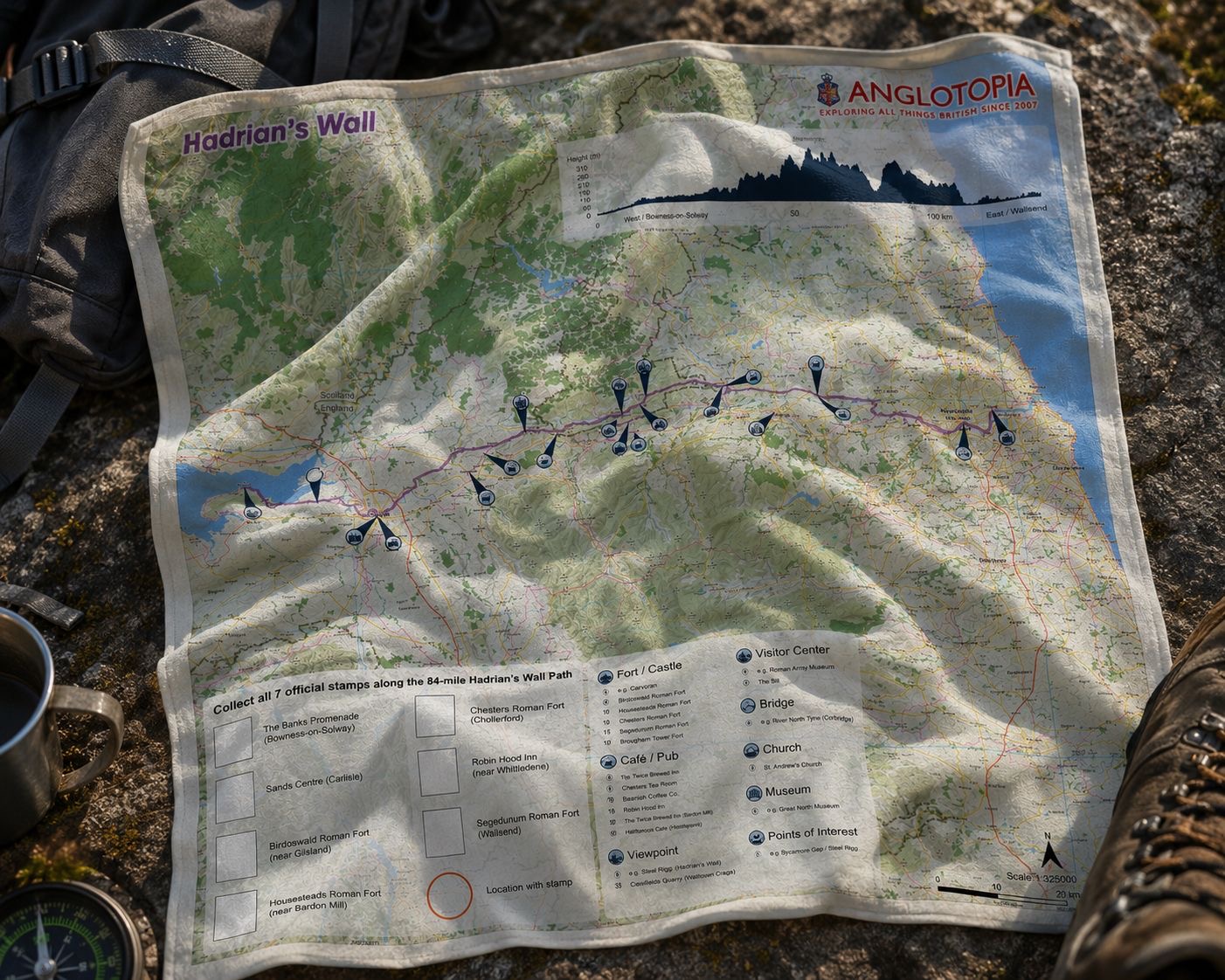
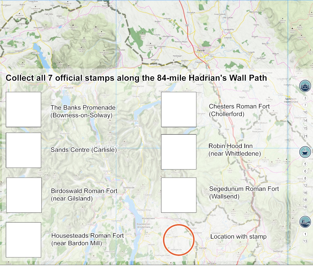
Designed to inspire, guide and commemorate your journey, the map introduces a host of new features, including clearly labelled highlights with an accompanying reference table, a helpful altitude profile for planning each day’s walk, clearly identified national and National Park boundaries, and a dedicated space to collect your official trail stamps. Carefully designed translucent route panels allow the underlying map detail to remain clearly visible, giving you a real sense of place throughout your adventure.
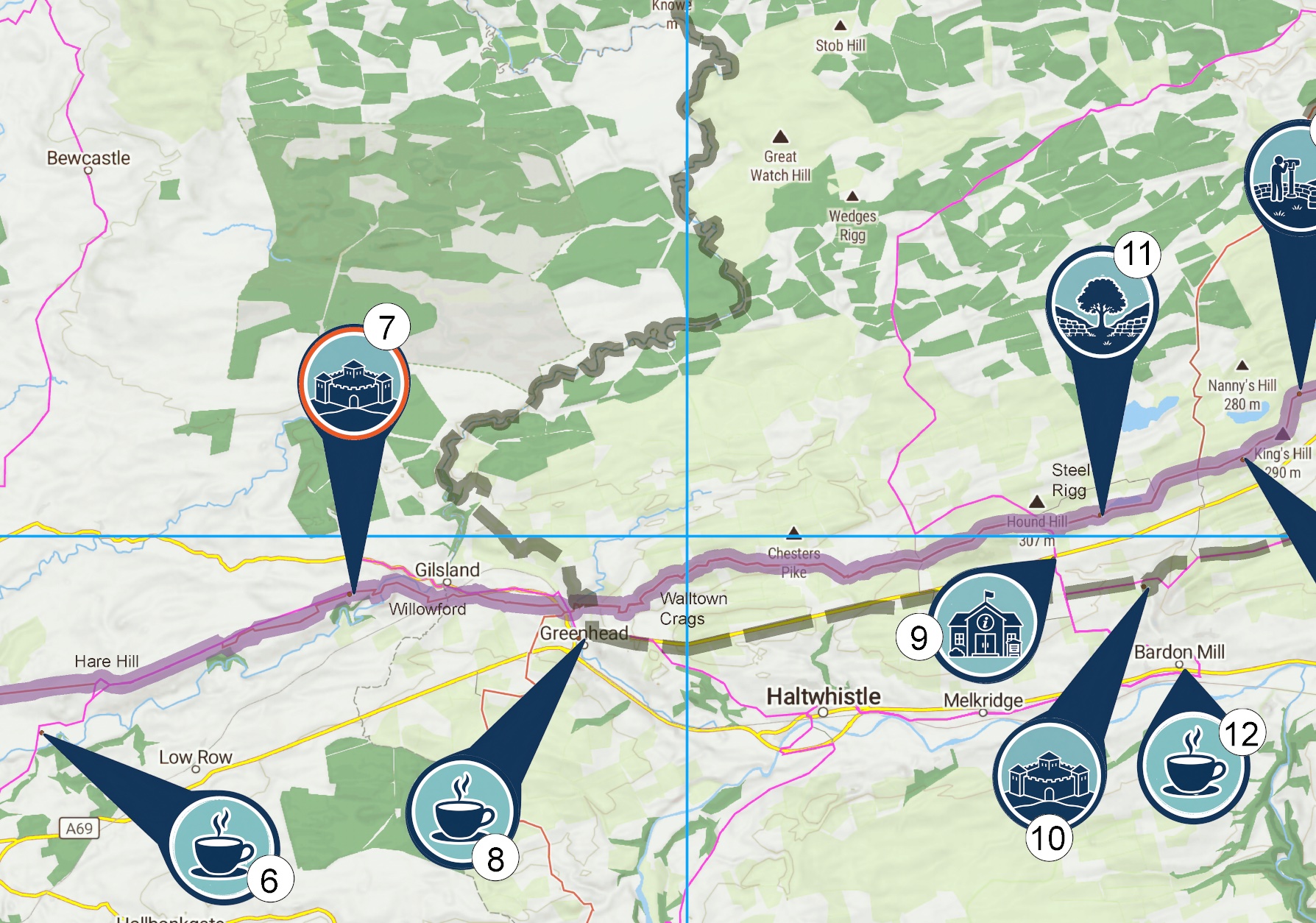
Like every SplashMaps Challenge Map, it is scaled to show the whole trail in context rather than for minute-by-minute navigation. It’s the perfect companion for planning your challenge, recording your progress and creating a unique fabric keepsake of your achievement.
We’re especially excited that this launch is a collaboration with Anglotopia in the USA, the leading community for American Anglophiles. During August, Anglotopia founder Jonathan Thomas will be walking Hadrian’s Wall Path carrying this specially designed map, sharing his experience and showcasing one of Britain’s greatest walking adventures with thousands of enthusiastic followers across the United States.
Whether you’re preparing for Hadrian’s Wall Path, looking for motivation for your next big challenge, or searching for the perfect gift for an adventurer, this beautiful new fabric map is designed to become part of the journey itself.


