
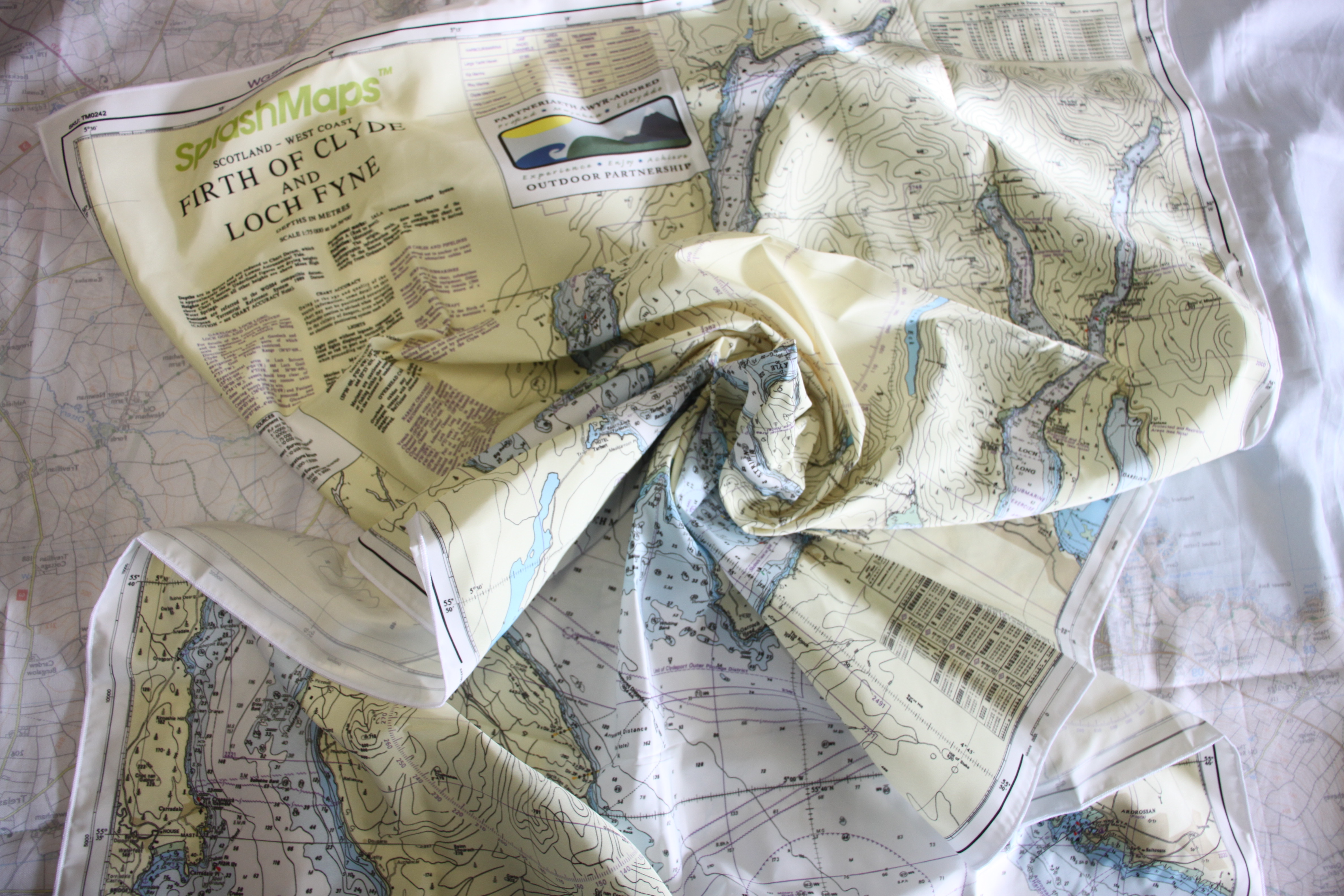
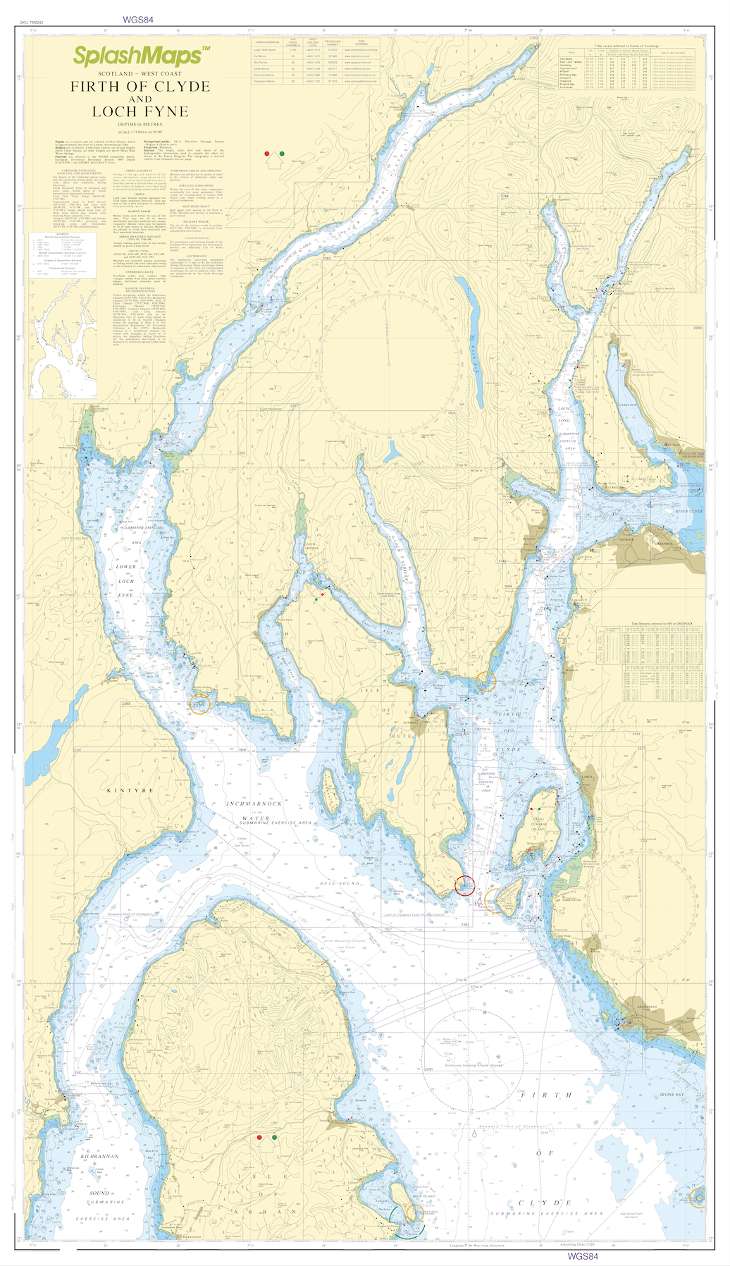
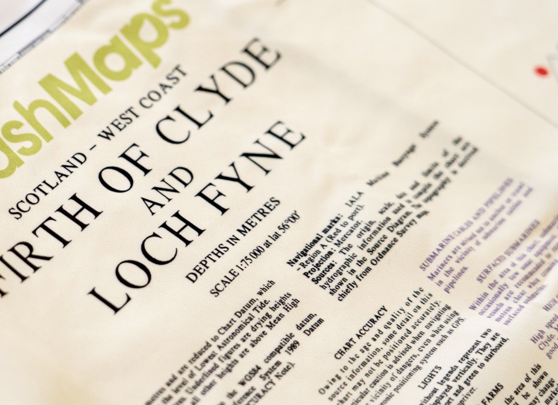
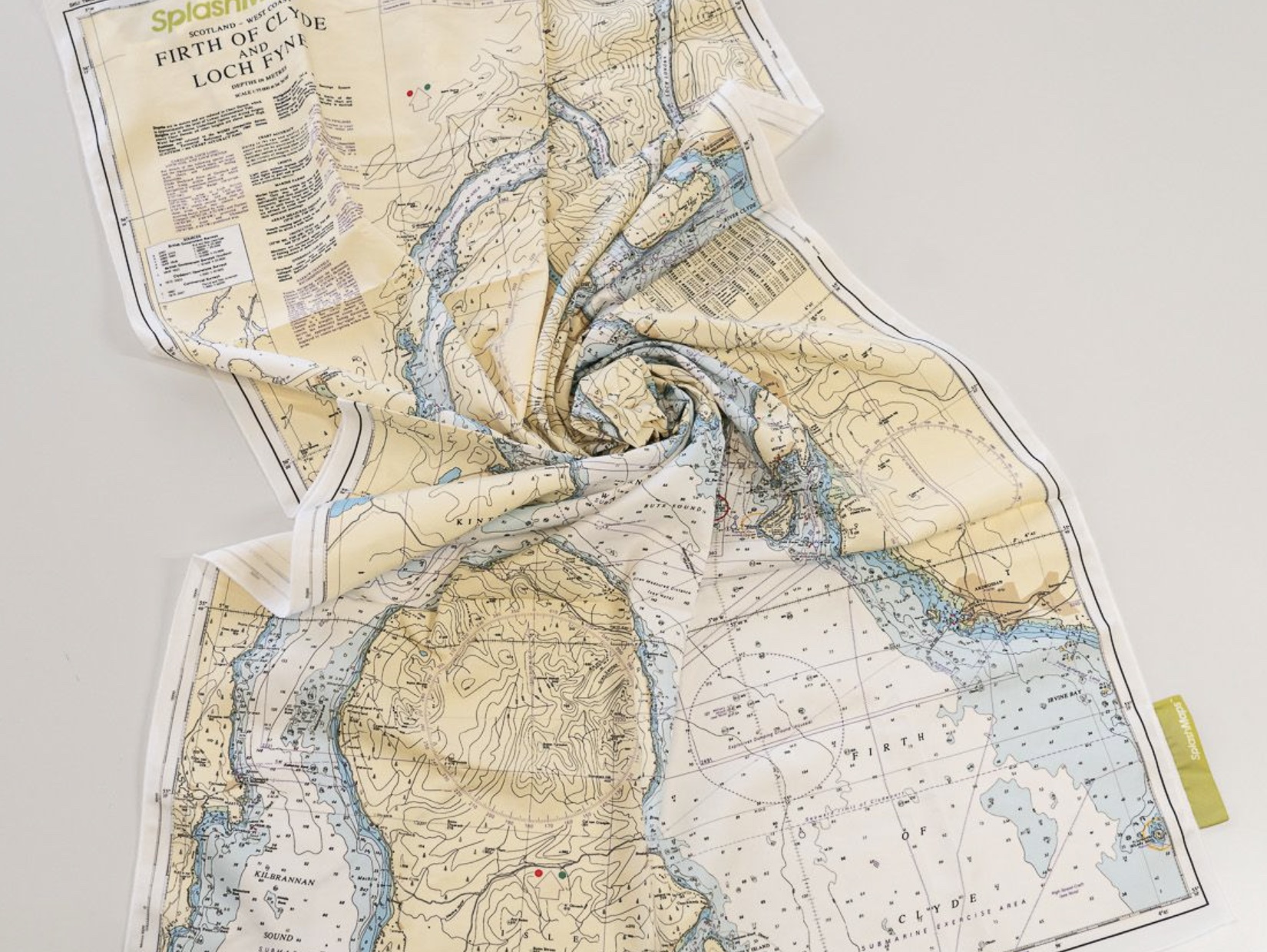

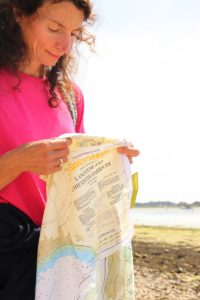
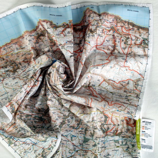
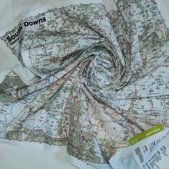
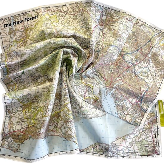
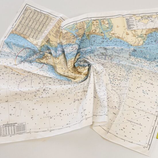
The Scotland Firth of Clyde and Loch Fyne Chart from SplashMaps is a beautiful washable, weatherproof, wearable chart. It covers the most famous watersports destination in the UK. This product has been derived in part from material obtained from the UK Hydrographic Office with the permission of the UK Hydrographic Office, Her Majesty’s Stationery Office.
Our range of charts is to be used on deck, below decks, in rough and calm conditions for planning, participating, training and competing in any water sport. The contents and style are the best in the world and used by vessels small and large.
KEY INFORMATION:
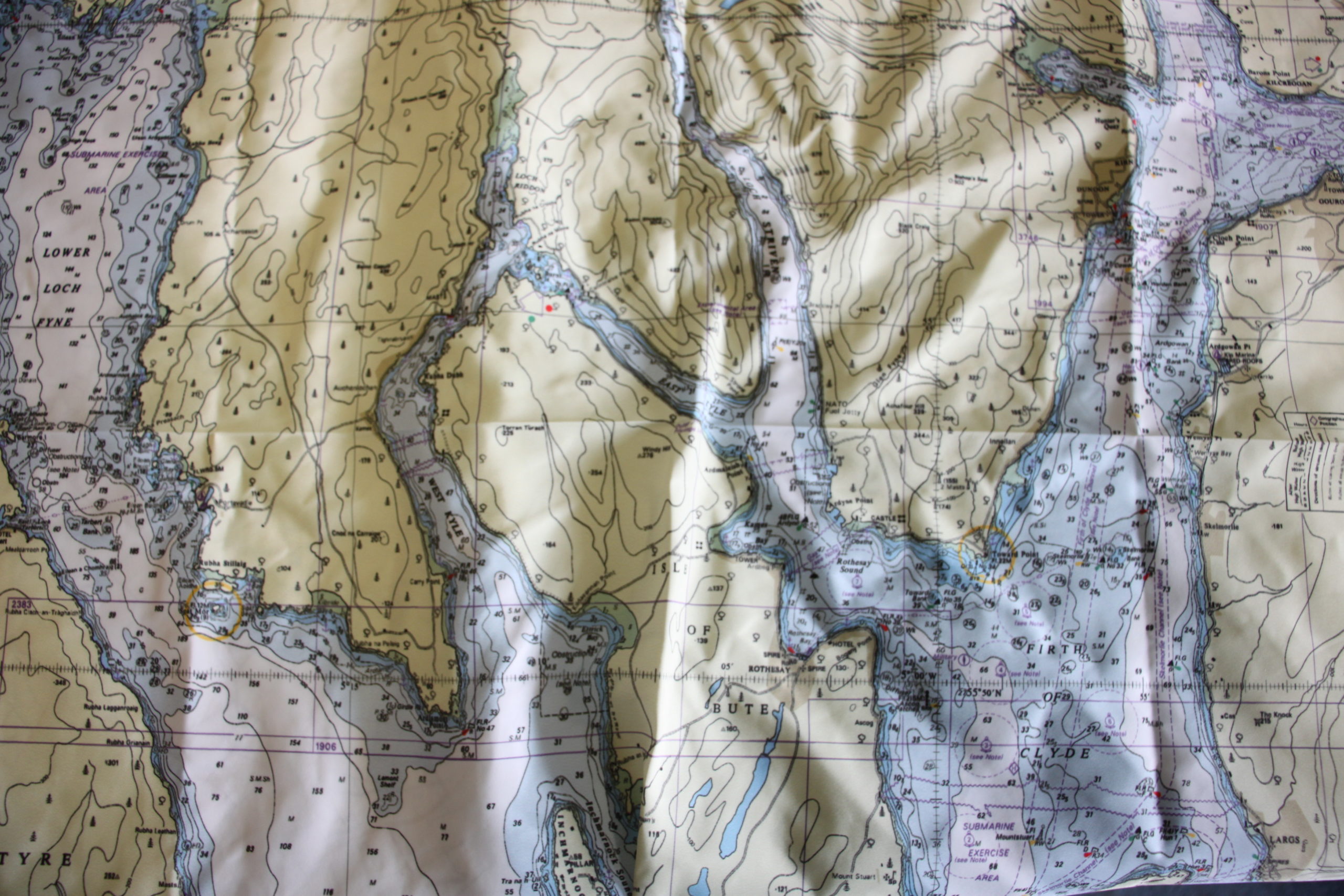
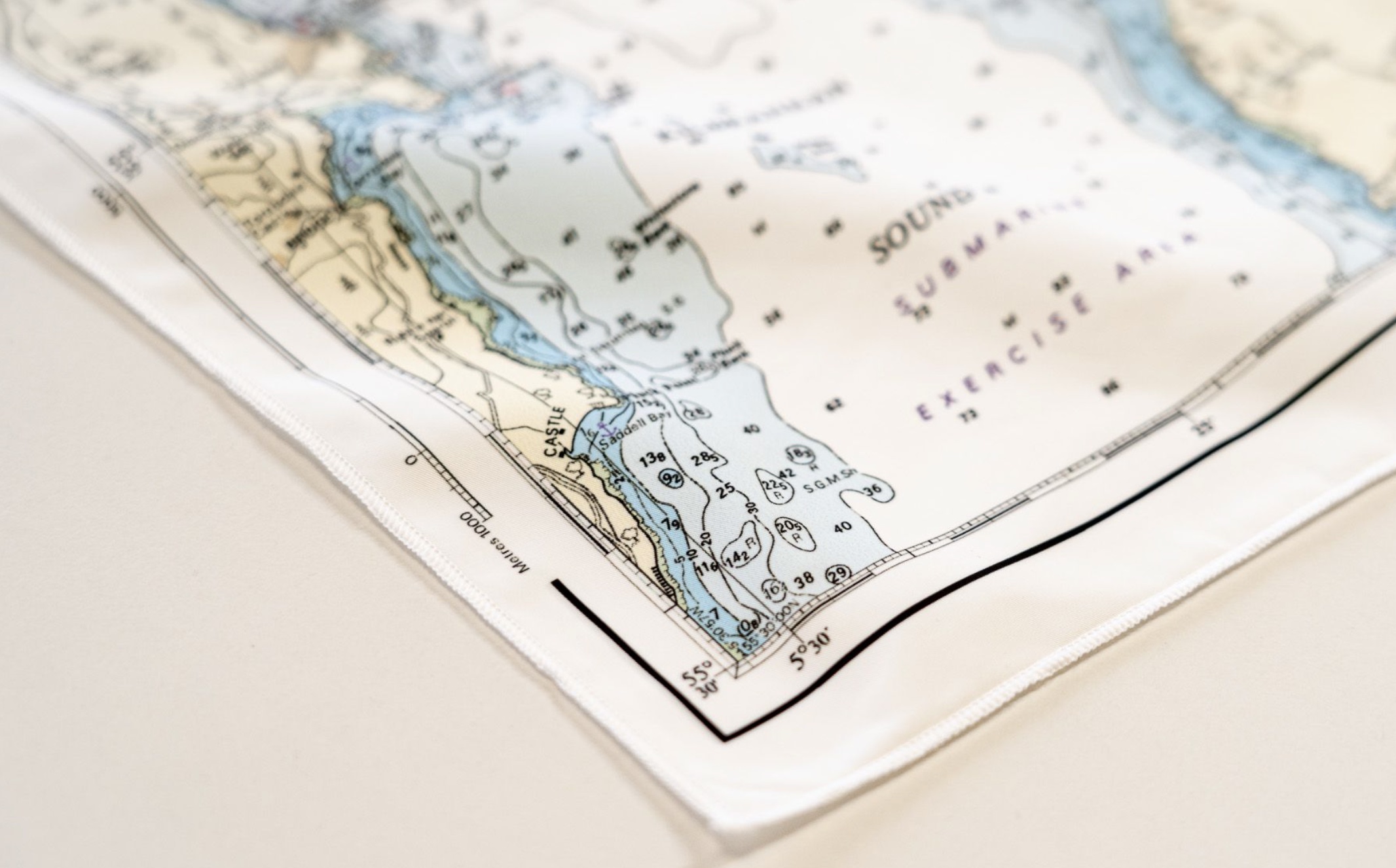
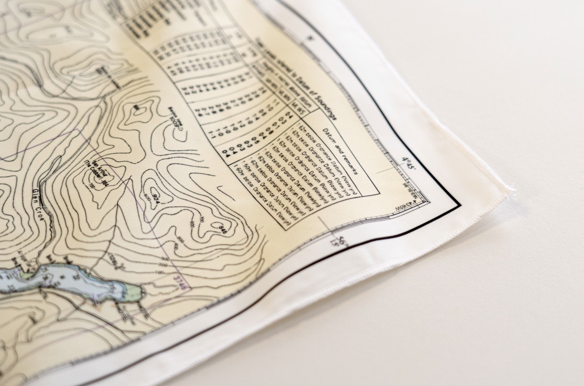
Tidal Streams Table, Obstructions Advice, Firing Practice Areas, Depths, Moorings, Navigation features on land and at sea. All content from the 2131 Chart from the UKHO.
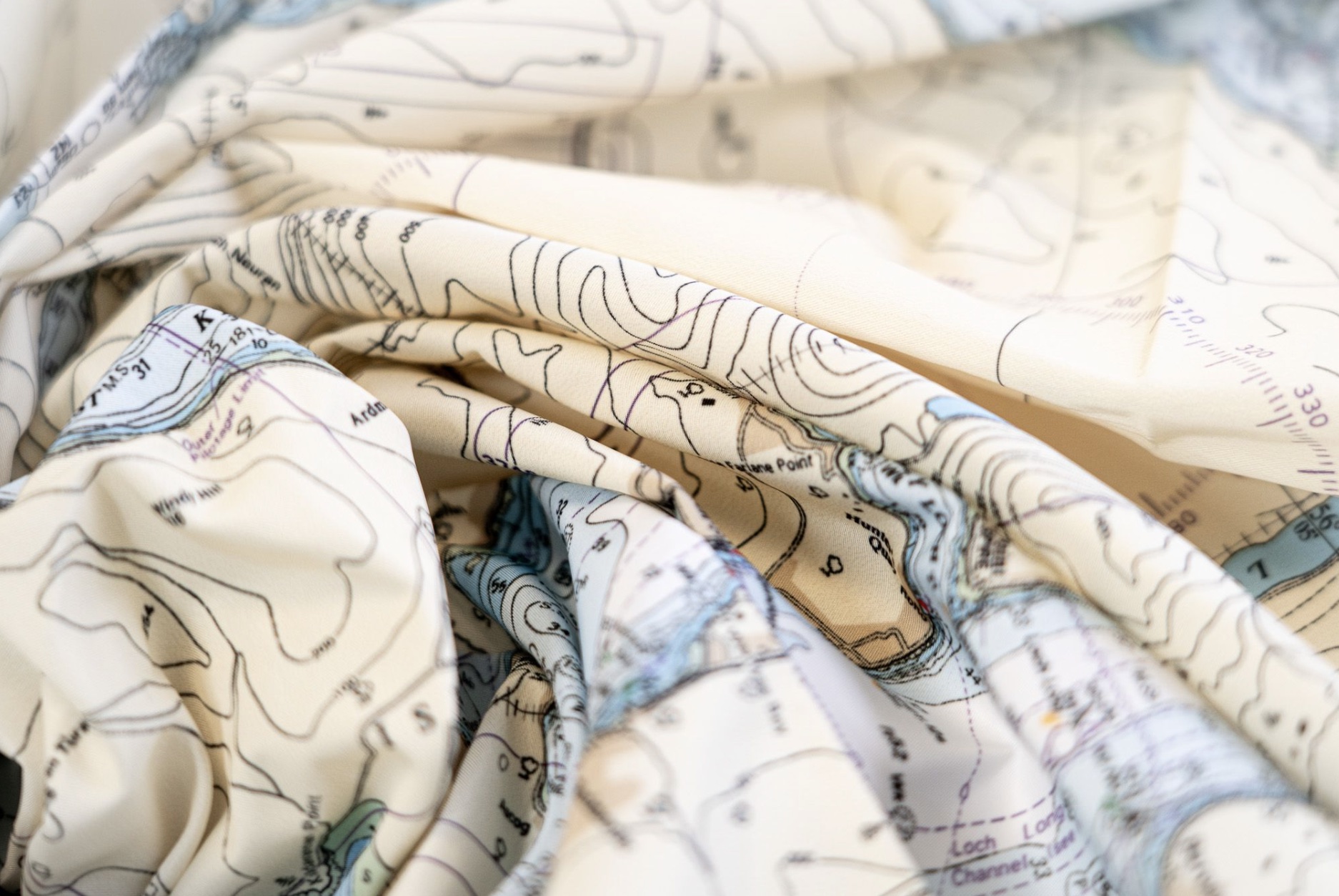
Kilbrannan Sound, Kintyre, Loch Gilp, Lower and Upper Loch Fyne, Loch Striven, East Kyle, Isle of Bute, Holy Island, Isle of Arran, Firth of Clyde, Little Cumbrae Island, Great Cumbrae Island, Skelmorlie, Kip Marina, Dunoon, Kirn, Holy Loch, Loch Long, Loch Goil, Glen Kinglas, Glen Croe, Glen Douglas, Faslane, Rhu Marina, Helensburgh, River Clyde, Greenock, Gourock, Ardrossan, Irvine Bay, Lady Isle
Size of product (including borders):
65 x 115cm (approximately)
| Weight | N/A |
|---|---|
| Dimensions | 105 × 69 cm |
| Map Scale | 1:20 000 |
| Choose a Format | Sea-proof Chart, Microfibre Towel Chart |
Only logged in customers who have purchased this product may leave a review.


Reviews
There are no reviews yet.