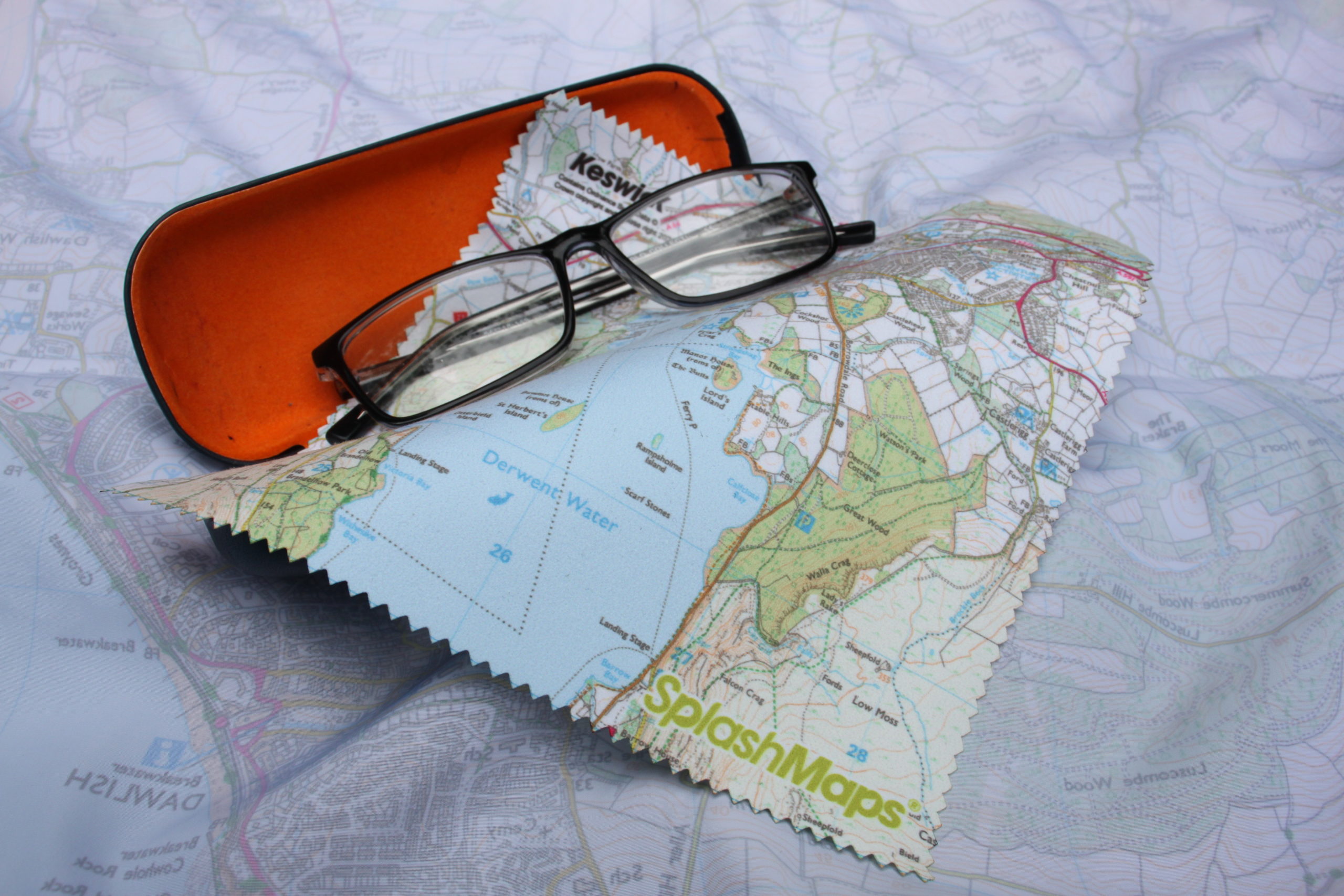
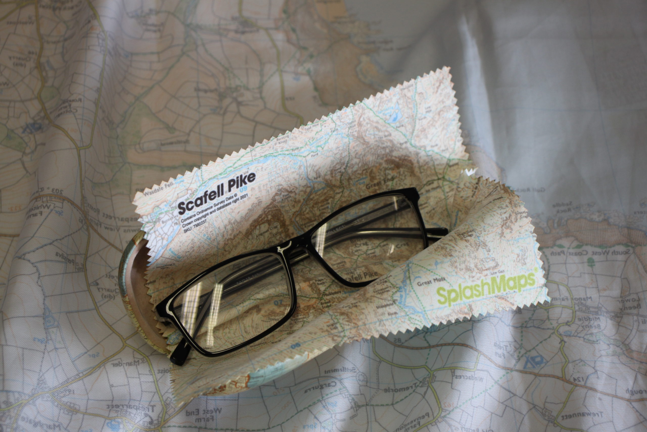
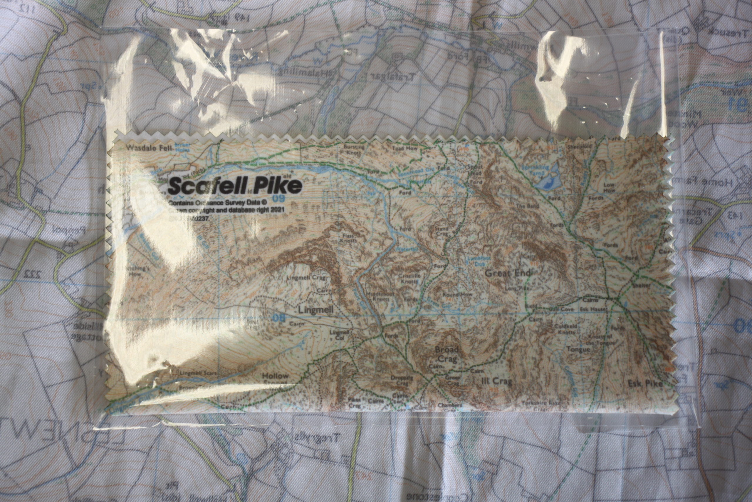
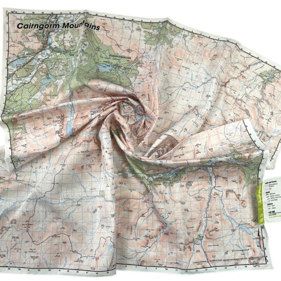
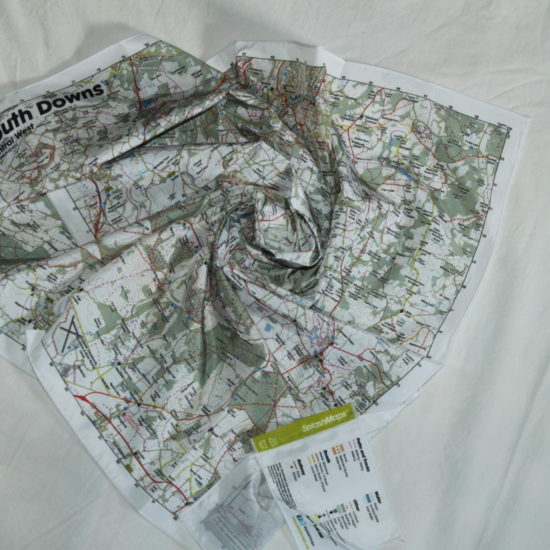
The Scafell Pike Map Lens cloth from SplashMaps is for photography lovers of the Lake District. Developed along side a leading BBC Cameraman we have selected the best material for keeping your lenses clean, be that for cameras, glasses, binoculars or telescopes.
The Scafell Pike Map lens cloth
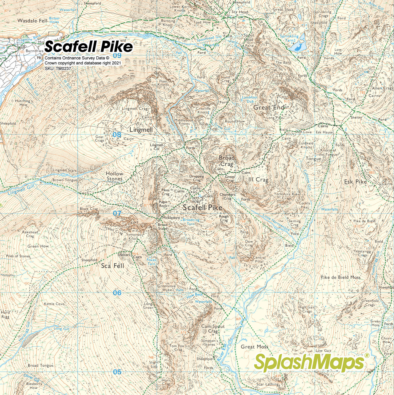
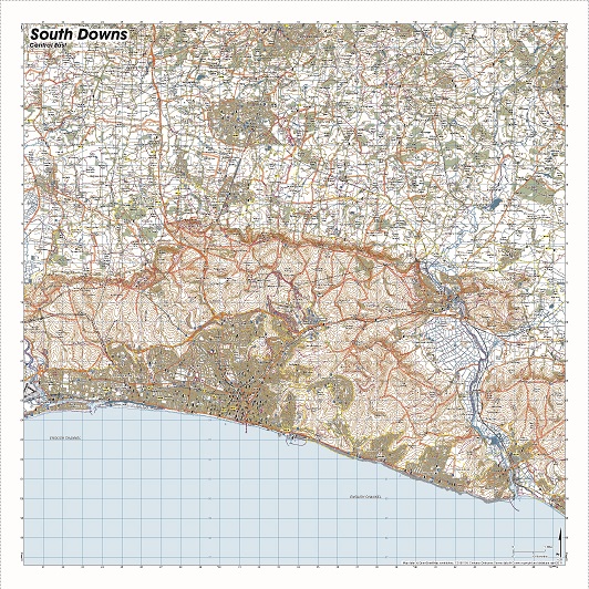
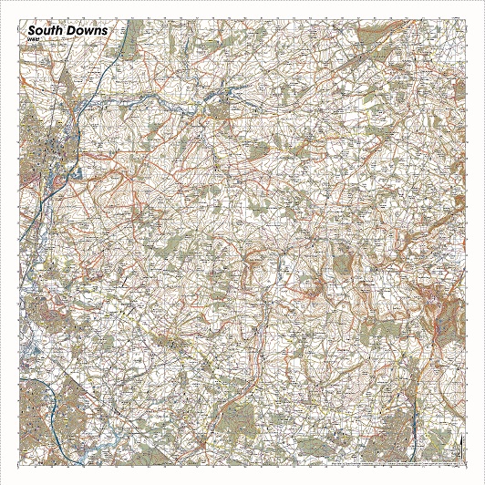
The map lens cloth holds an Ordnance Survey 1:25k walkers scale (Explorer) map image on a microfibre cloth.
KEY BENEFITS:
- Unparalleled detail -our 18 x 18 cm map includes all the Ordnance Survey detail
- Practical print on practical material – dual purpose as always, the lens cloth gives a sense of place and purpose as well as being the ideal way to deal with smudges
A mappy lens cloth makes an excellent souvenir or lakeland gift worthy of any outdoors lover. Use it for removing fingerprints and dust to give the clearest possible view of this beautiful place.
KEY INFORMATION:
Major Settlements and Features: Scafell Pike, Lingmell, Hollow Stones, Sca Fell, Broad Tongue, Cam Spout Crag, Ill Crag, Great End, Sprinkling Tarn, Wasdale Fell, Bleaberry How, Scar Lathing
Dimensions on map:
4.5 km x 4.5 km
Size of product (including borders):
18cm x 18cm (approximately)