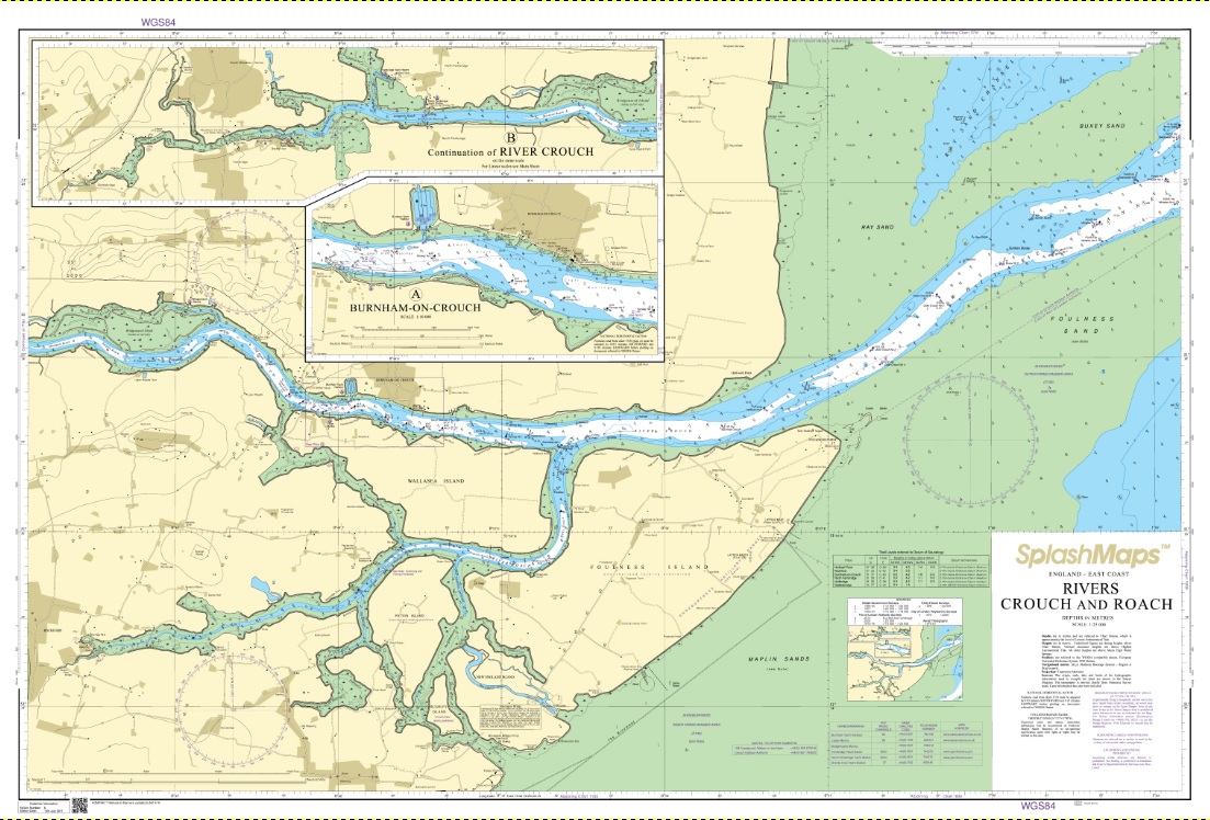

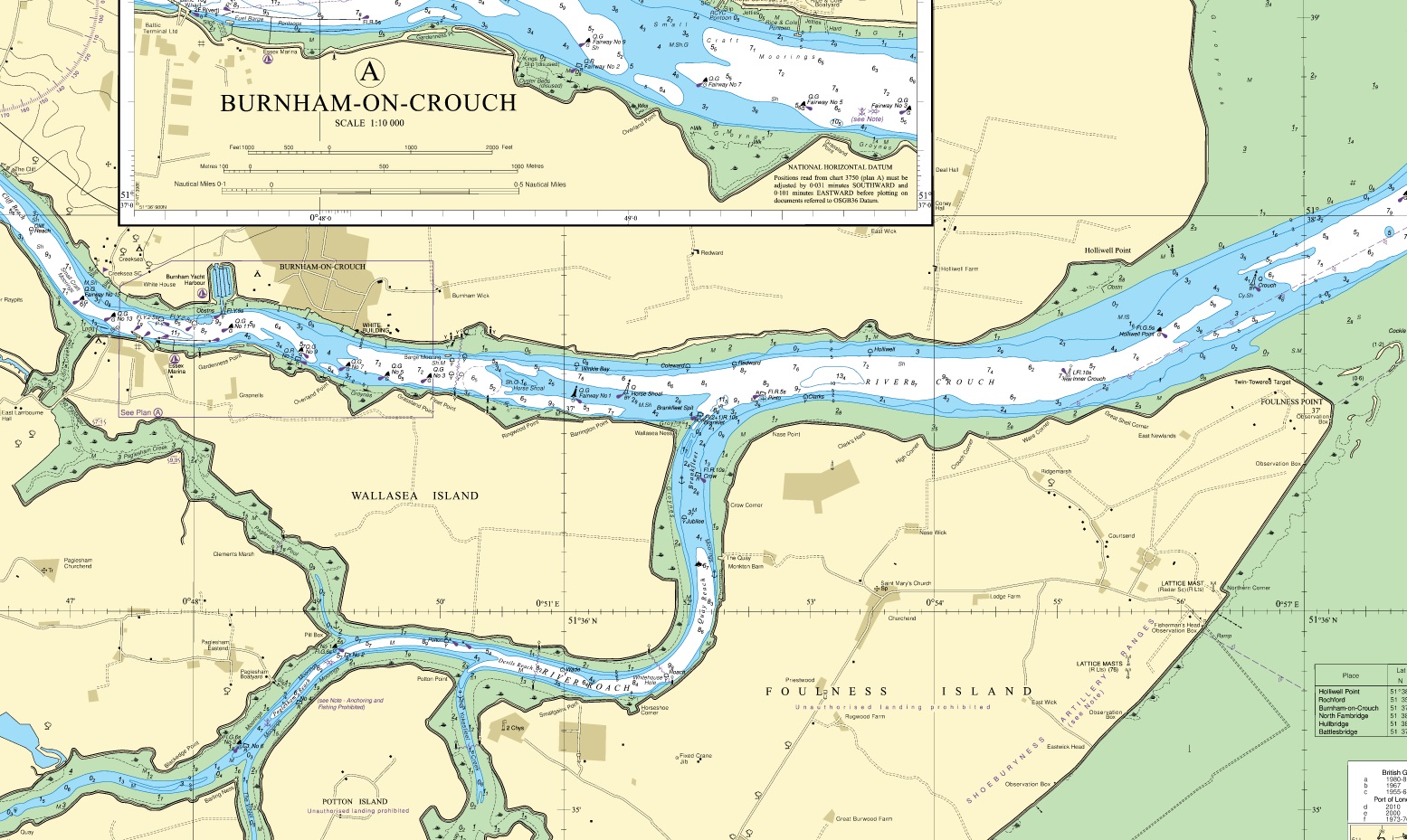

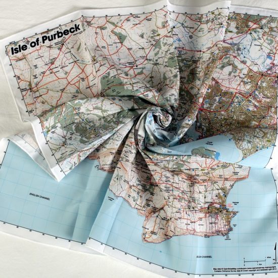
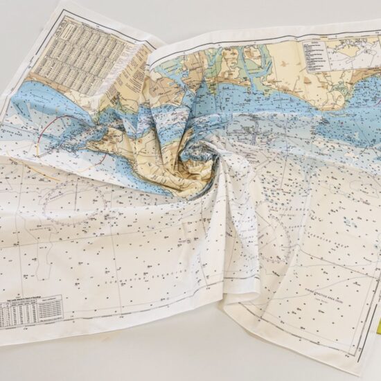
The Rivers Crouch and Roach Chart from SplashMaps: A beautiful washable, weatherproof, wearable chart, covering the most famous watersports destination in the UK. This product has been derived in part from material obtained from the UK Hydrographic Office with the permission of the UK Hydrographic Office, Her Majesty’s Stationery Office.
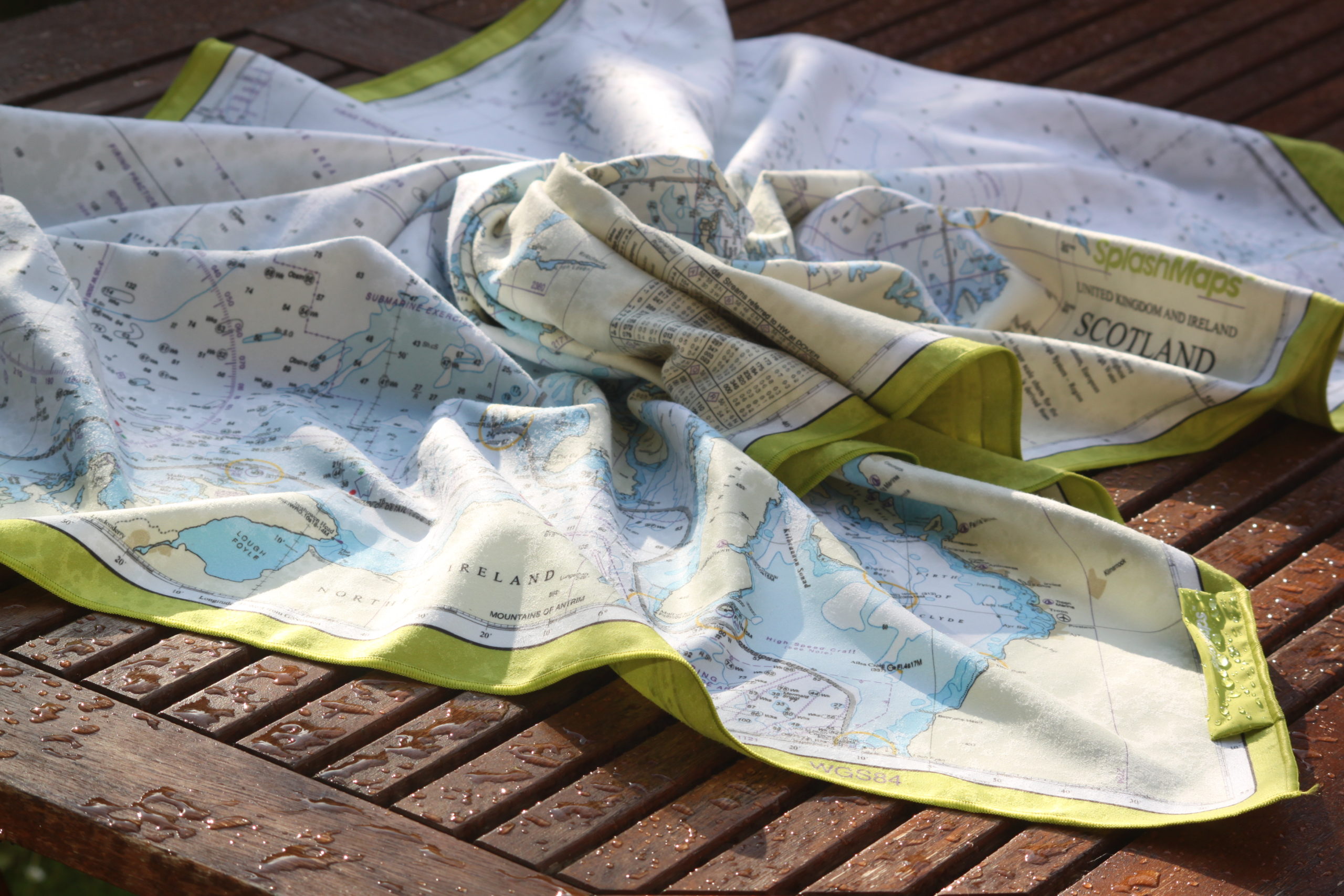
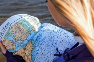
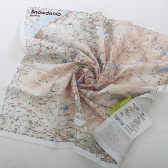
SplashMaps’ charts are aimed to be used on deck, below decks, in rough and calm conditions for planning, participating, training and competing in any water sport. The contents and style are the best in the world and used by vessels small and large.
Rannoch on Couch is home to Rannoch Adventures, the awesome company who built Jordan Wylie’s ‘Rowing Dangerously‘ boat which we co-sponsored.
“I’m rowing solo across the most dangerous strait in the world. Can you make me a chart?”, said Jordan. We became a sponsor on the spot!
Burnham-on-Crouch, River Crouch, River Roach, Foulness Island, Maplin Sands, Wallasea Island, Buxley Sand, Ray Sand, Whitaker Channel, Bridgemarsh Island,
Tidal Streams Table, Obstructions Advice, Firing Practice Areas, Depths, Moorings, Navigation features on land and at sea.
Scale:
1:25,000
Size of product (including borders):
105cm x 69cm (approximately)
| Weight | N/A |
|---|---|
| Dimensions | 105 × 69 cm |
| Map Scale | 1:25 000 |
| Choose a Format | Sea-proof chart, Microfibre Towel Chart |
Only logged in customers who have purchased this product may leave a review.


Reviews
There are no reviews yet.