

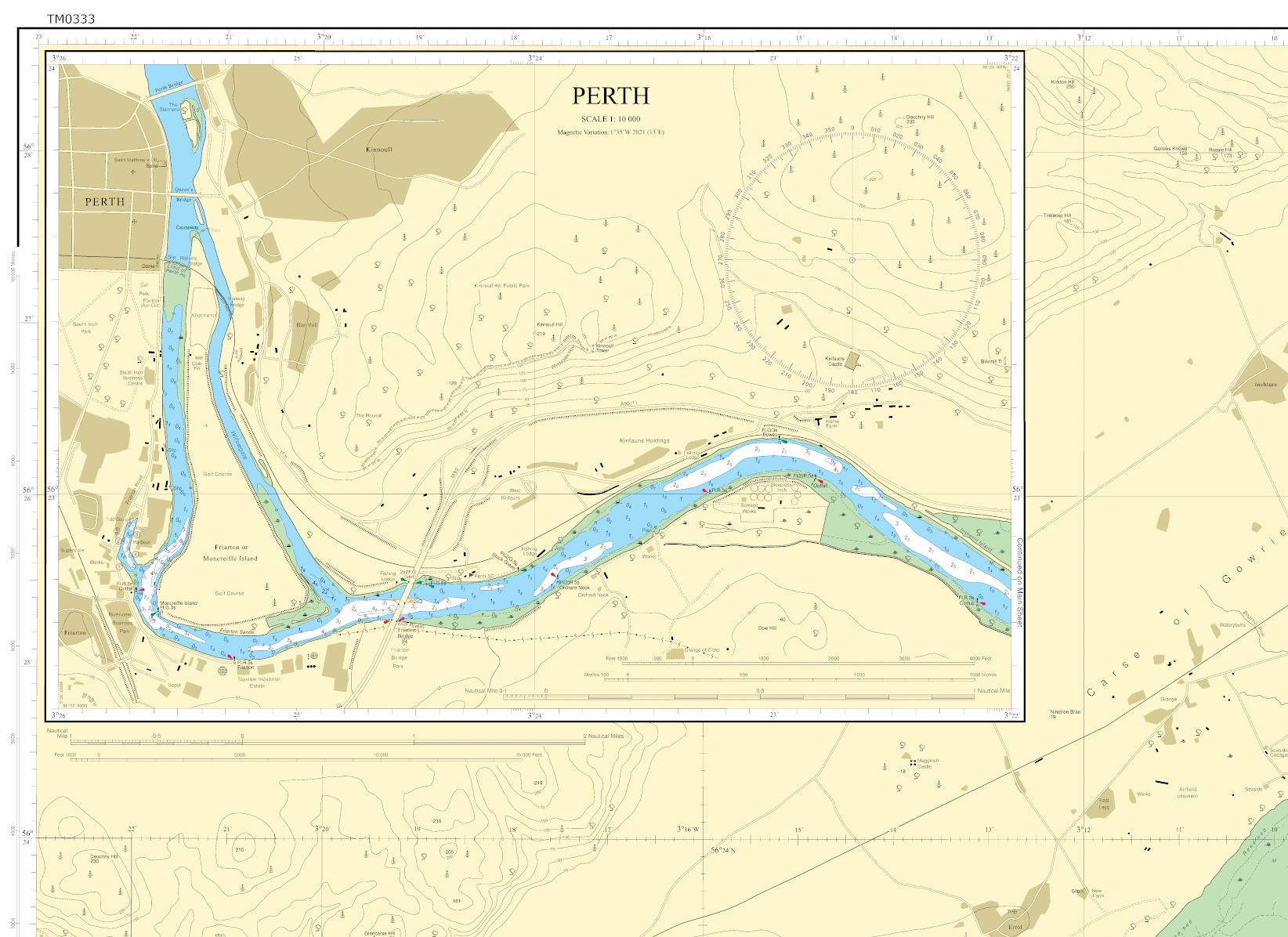
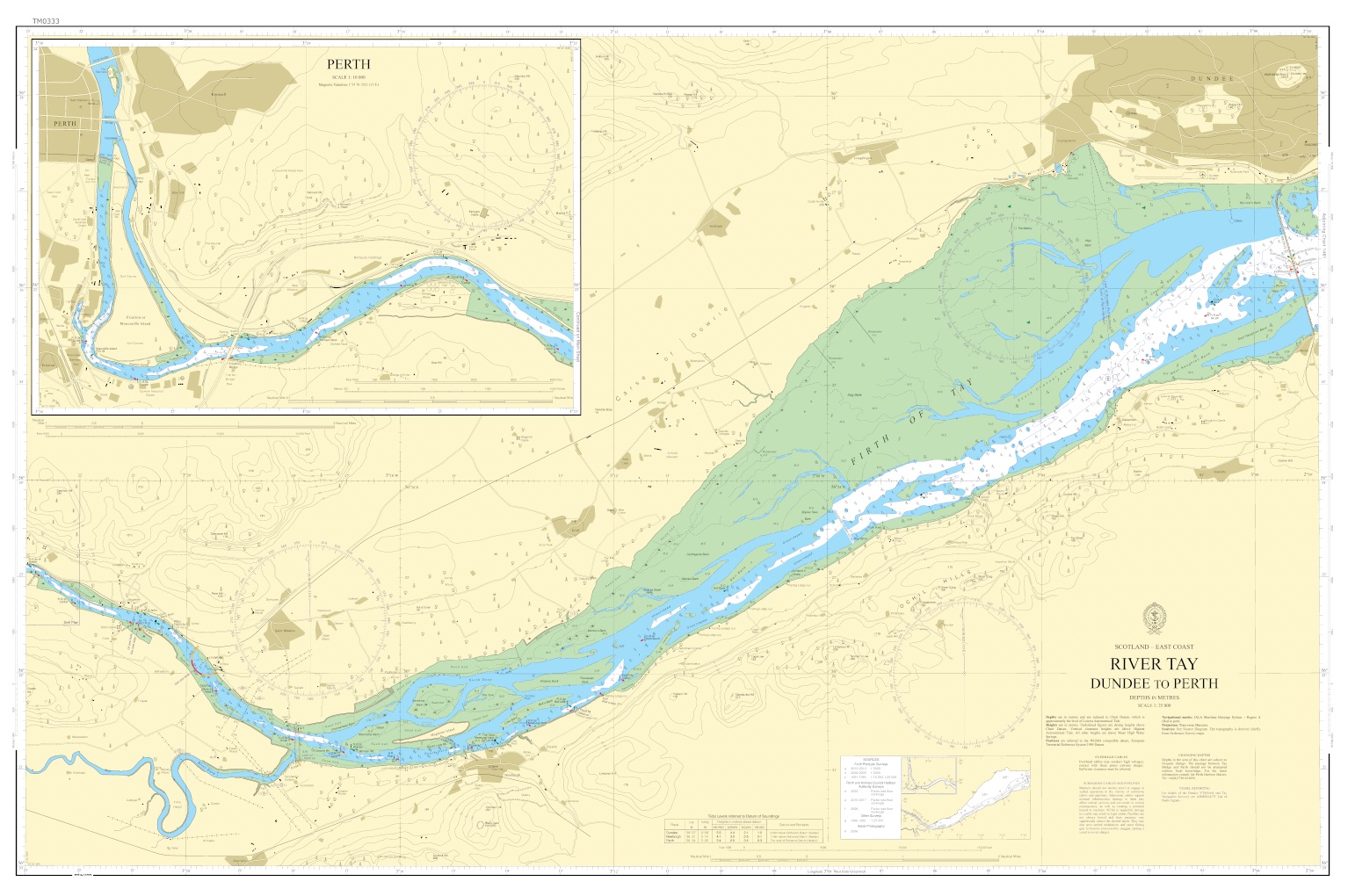

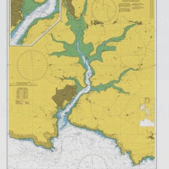
River Tay – Dundee to Perth Sea Chart from SplashMaps is based on Admiralty Chart No. 1479: A beautiful washable, weatherproof, wearable chart, covering this favourite anchorage. This product has been derived in part from material obtained from the UK Hydrographic Office with the permission of the UK Hydrographic Office, His Majesty’s Stationery Office.
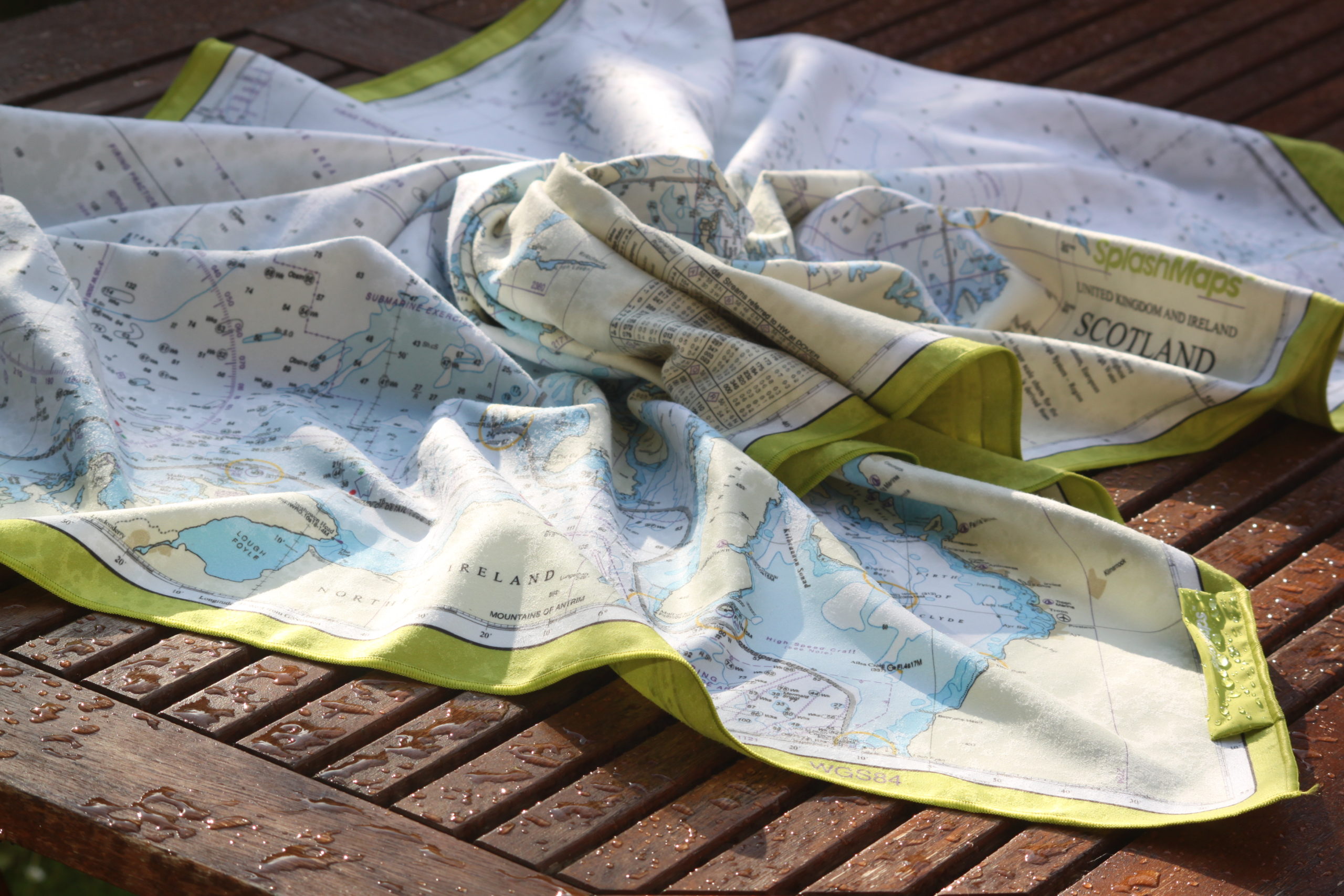
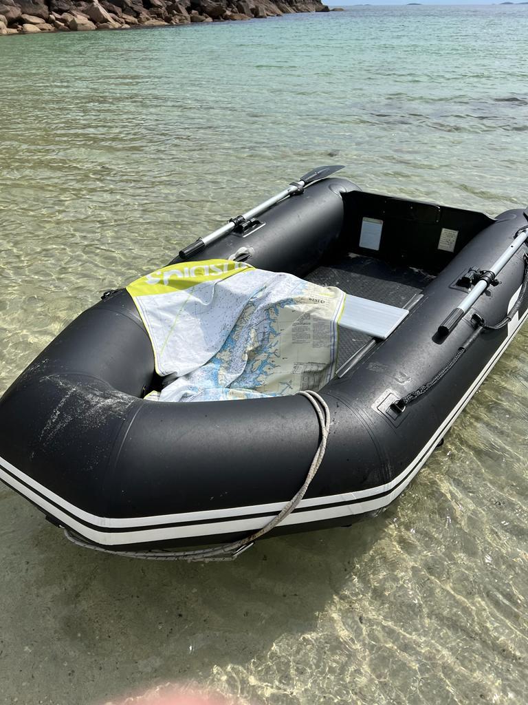
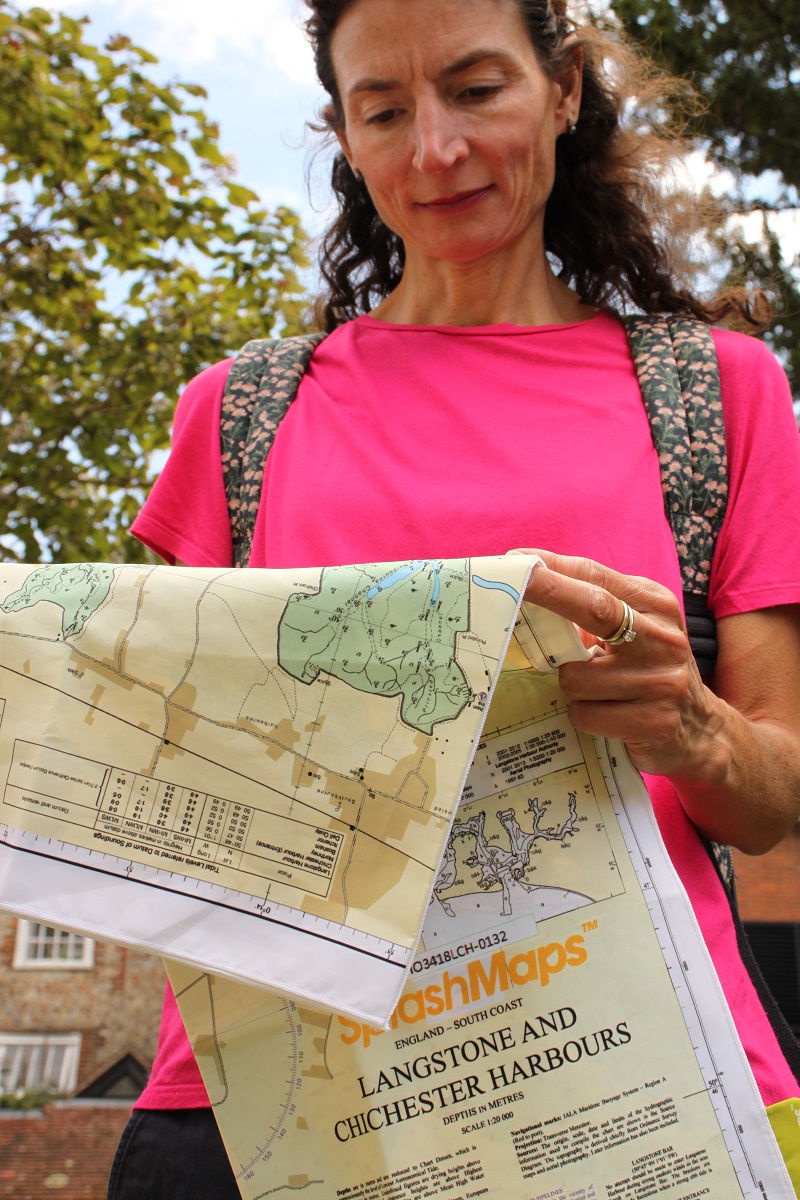
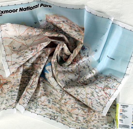
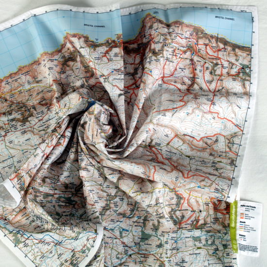
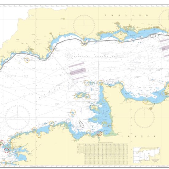
Our range of charts are aimed to be used on deck, below decks, in rough and calm conditions for planning, participating, training and competing in any water sport. The contents and style are the best in the world and used by vessels small and large.
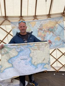
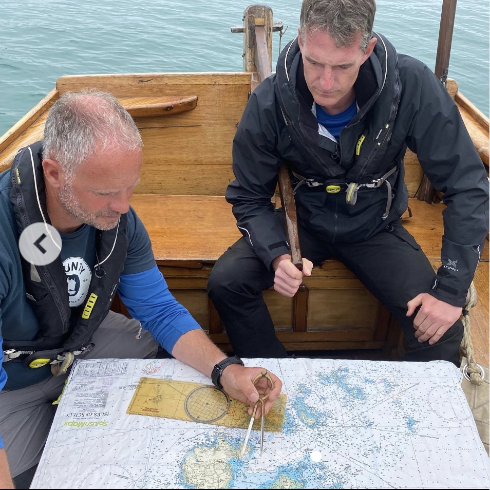
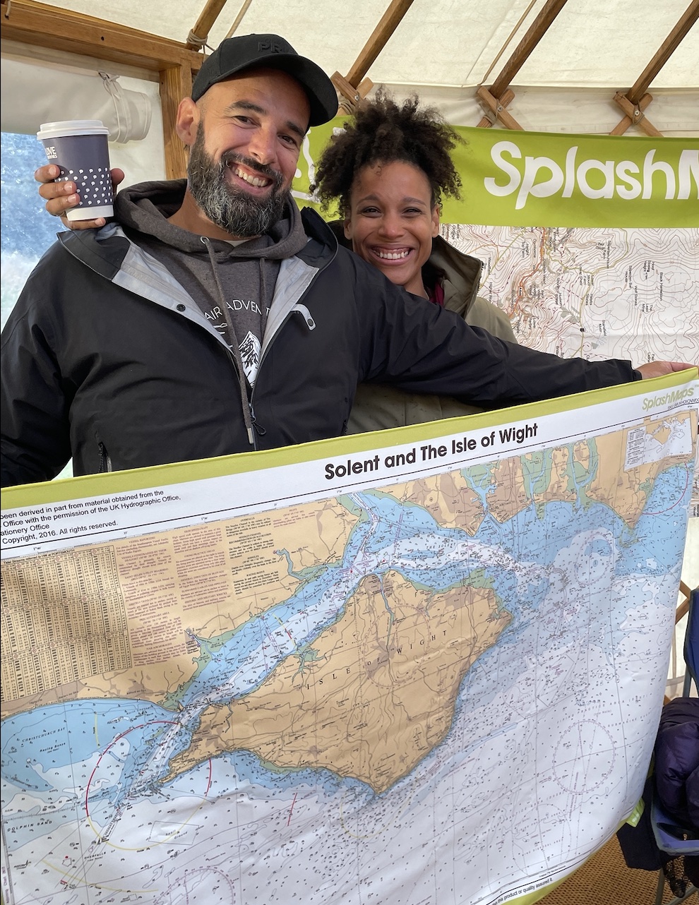
We like to put our products under test with the best! Conrad Humphreys, was the youngest man to sail solo around the world. More recently he re-enacted the phenomenal voyage of Captain Bligh and crew when set adrift by mutineers. I was lucky enough to sail on the same vessel with him at the Armchair Adventure Festival near the famous naval city of Plymouth. Check his story here.
Chart No. 1479, River Tay, Perth, River Earn, Firth of Tay, Dundee, Ochil Hills
Features:
Depths, Obstacles to navigation, Depths, Heights, Promanent navigation features on land in sea
Scale:
1:25 000
Dimensions on map:
Size of product (including borders):
104cm x 69cm (approximately)
| Weight | 0.08 kg |
|---|---|
| Dimensions | 104 × 66 cm |
| Map Scale | 1:100 000, 1:15 000 |
| Format | Sea-proof chart, Microfibre Towel Chart |
Only logged in customers who have purchased this product may leave a review.


Reviews
There are no reviews yet.