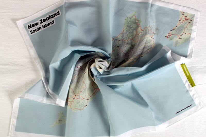
Description
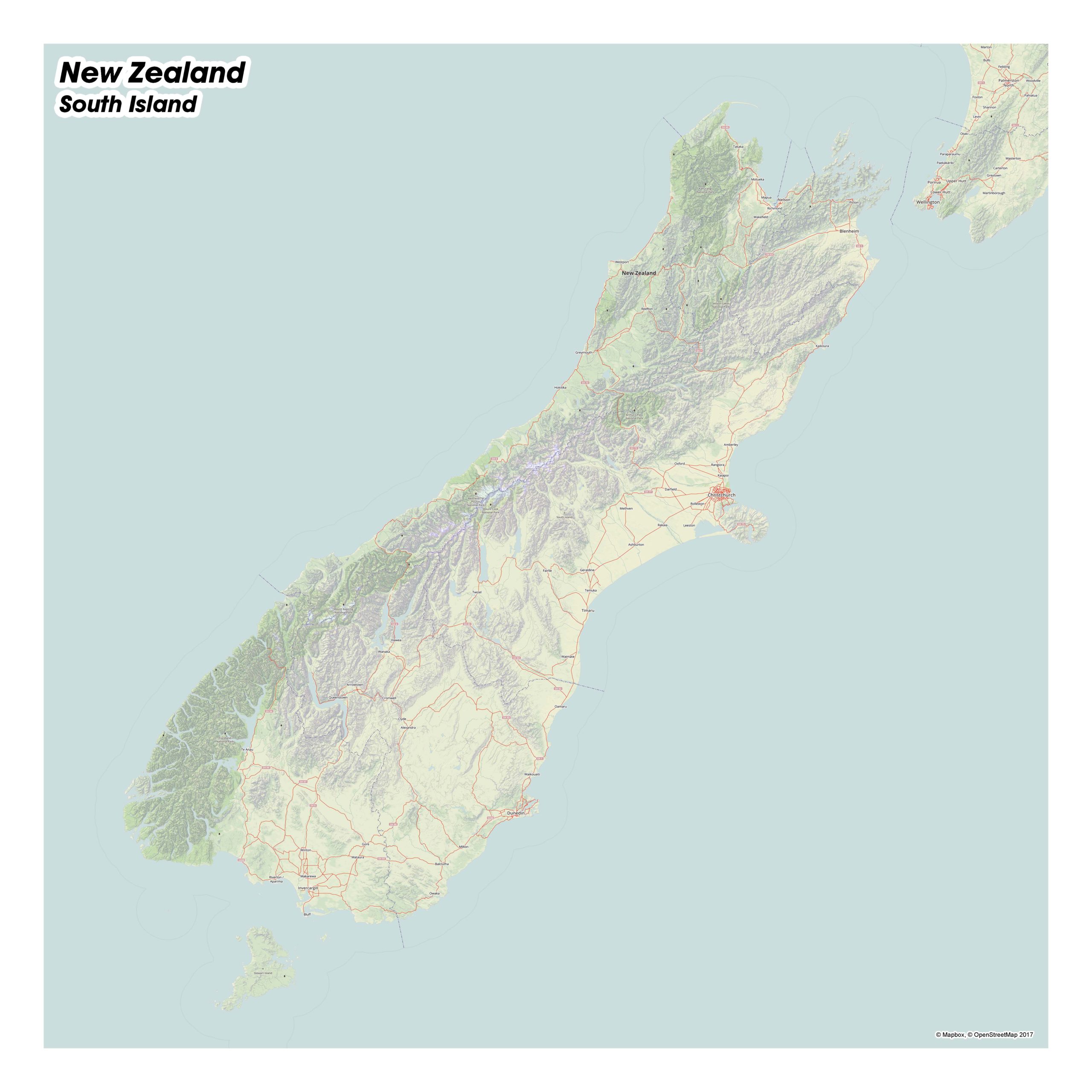
The New Zealand – South Island SplashMap is for those adventuring across this amazing country. Covering the whole of the South Island and including everything from Picton and Takaka to Invercargill and Stewart Island. Ideal for organised tours and independent travelers, you’ll know exactly where you are, understand what’s next and will love sharing your journey with the folks back home.
KEY INFORMATION:
The SplashMap covers the whole of The South Island and the southern top of the North Island. It includes all town names, national parks and forests.
MAJOR SETTLEMENTS AND FEATURES: Wellington, Kahurangi National Park, Blenheim, Picton, Nelson, Nelson Lakes National Park, Takaka, Westport, Arthur’s Pass, Hokitika, Kaikoura, Reefton, Christchurch, Mount Cook National Park, Westland Tai Poutini National Park, Ashburton, Timaru, Dunedin, Owaka, Invercargill, Fiordland National Park, Queenstown, Wanaka.
SIZE:
73 x 73 cm
Only logged in customers who have purchased this product may leave a review.


Reviews
There are no reviews yet.