The Isle of Wight is one of the most popular tourist destinations in England. With a perfect location off the south coast of the county of Hampshire, the island is packed with interesting tourist sites and beauty spots. Whether you’re looking for a holiday by the beach or in a quaint village, the Isle of Wight offers so many options to explore.
The Isle of Wight is accessible via a number of ferry ports. You can easily get to the island by ferry from Lymington, Portsmouth and Southampton.
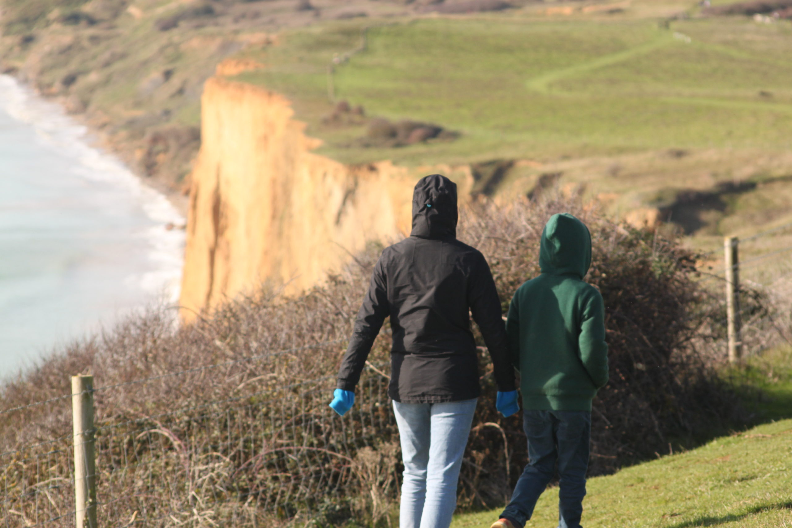
Famous for its distinctive chalk landscape and cliffs around the coastline, you can’t escape the natural beauty of the Isle of Wight. This is particularly true at the Needles landmark attraction at the western tip of the island where the outstanding natural beauty of the area is unforgettable. Plus it comes complete with an award-winning visitor attraction suitable for all the family!
There are many other things to do when you visit the Isle of Wight. For a relatively small area, there are a huge variety of attractions and places of interest. From stunning beaches to historical landmarks such as Osborne House, from the Garlic Farm at the centre of the island, to the Blackgang Chine amusement park at the southern tip – there’s fun for all the family at this ideal holiday destination.
And for those that are looking to explore the great outdoors by foot or by wheel, the Isle of Wight is a fantastic place for walkers. Wonderful footpaths cross beautiful landscapes such as The Tennyson Trail – a 14-mile walk from The Needles to Carisbrooke.

Another good reason to have The Isle of Wight on map is that it is home to the highest concentration of bridleways in the country. It’s a superb destination for cyclists. The annual Randonne takes advantage of these great views and its mountain bike challenges are thrilling for those who love these paths.
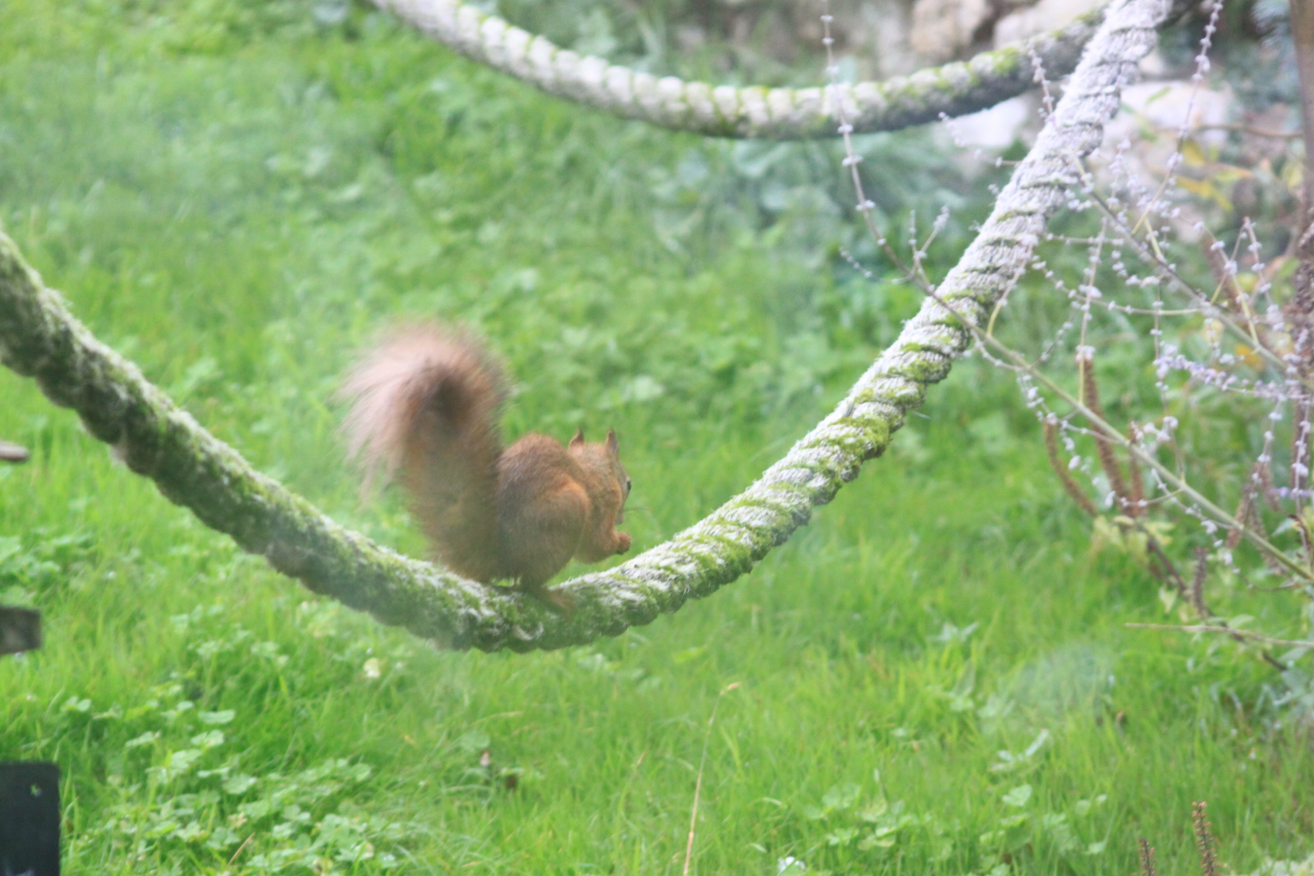
And nature-lovers aren’t excluded either. Wildlife is abundant on the Isle of Wight, which is one of the last remaining strongholds for the red squirrel (one of the UK’s most threatened animals).
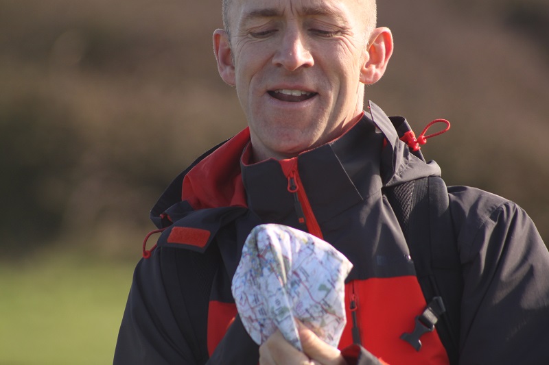
Most people these days use their phone to navigate, but often the signal is unreliable, especially in rural areas. For a more reliable option, you can get the Isle of Wight on map. Not only will these be useful for helping you navigate your way around the roads, but they also feature many of the great places to visit in detail.
Another alternative is to stop off at one of the tourist information centres or visitor attractions such as The Needles where you can pick up leaflets and maps of the area.
The problem with maps on leaflets is that they’re not very detailed and that can be a problem when working out exactly where things are and how to get there.
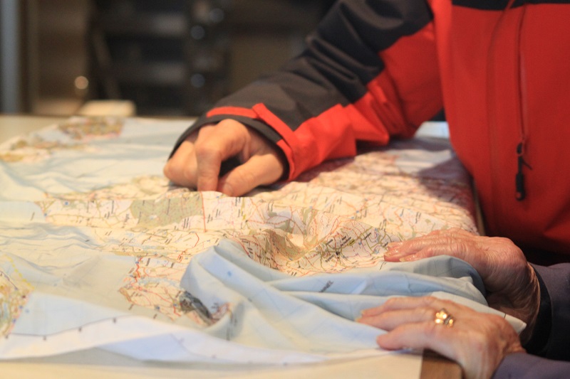
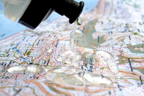
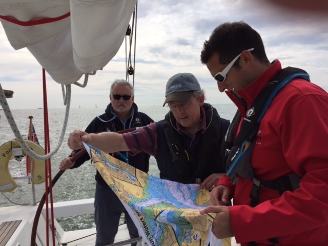
That’s why the Isle of Wight map from SplashMaps is the perfect companion to your stay. We have a map covering the whole Island (every single track, path and trail!) in stock right now – so it can be with you in a just couple if days and in plenty of time for your trip.
Our lightweight and durable fabric is superior to a traditional paper map when dealing with a British summer, when the bright warm days that the Isle of Wight is famous for can change quickly to torrential rain and wind – SplashMaps don’t need to be kept dry and you don’t need to fold them neatly – just shove it in your pocket as you race for shelter!
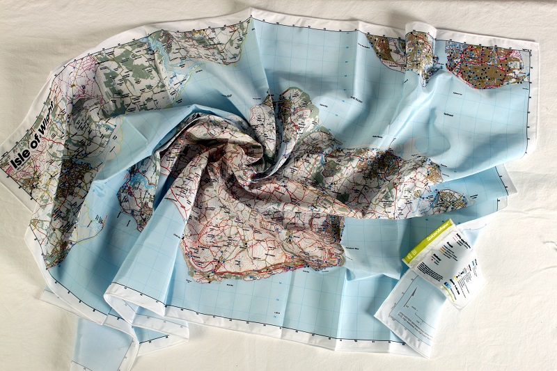
Because a SplashMap folds or scrunches up small enough to fit in your pocket it’ll always be within reach wherever you go – and you can even wear it to keep the sun off your neck (or as an extra layer of warmth depending on the day).
A single map is just £25.50 (inc VAT) – making it an inexpensive way to get the most of your time there.
And you can find our Isle of Wight Map here.
Seaward charts for the area are available too here.
