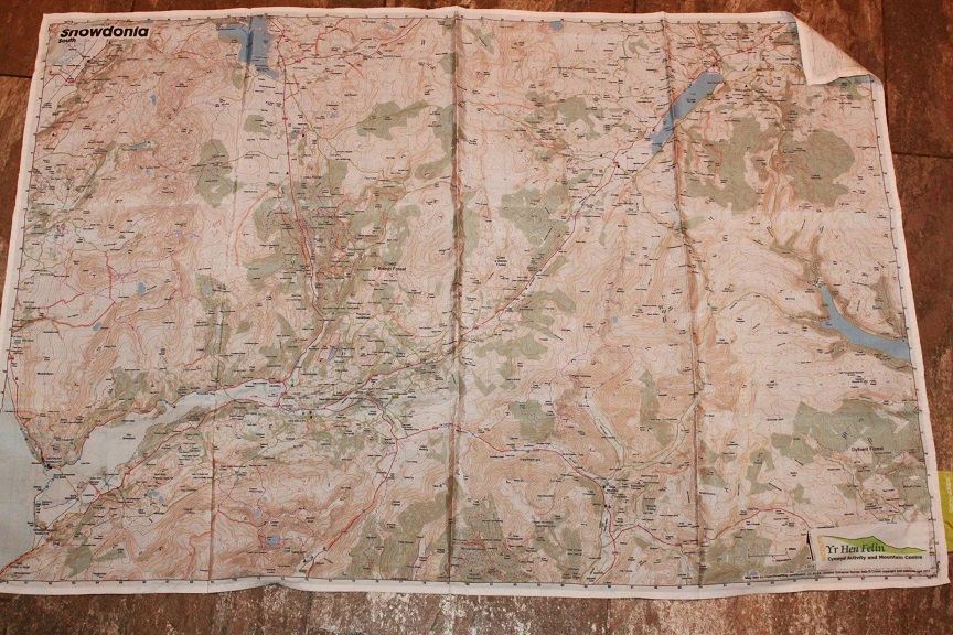
Our thanks to Steve Layt, Duke of Edinburgh Award assessor. He’s helped us design a new SplashMap for Snowdonia which covers the Southern Part of the National Park from Bala to Barmouth. This map is crucial for those that want a map to survive the challenges in this area, yet can be on hand quickly whenever a reference is needed.
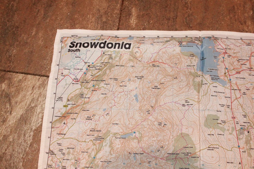
Steve had a bespoke map designed at our usual 1:40 000 scale. He covered this large area by increasing the width of the map to 105cm (from the usual 72 cm) to assure the essential walking routes for Scouts and DoE awards in this area are covered. He also had the Yr Hen Felin Activity and Mountain Centre logos included. The map can be purchased here.

“We are constantly destroying paper maps during DoE award assessments,” says Steve. “The New SplashMap for Snowdonia is far more robust than the alternatives meaning we can re-use the map time and again saving money and hastle in re-stocking”.
Steve also received a consignment of Corwen Walking Festival maps last month, created via our Make-a-Map service. “The map is part of our plan to make this outstanding walking area more accessible. This is a stunning part of the country, but is often overlooked due to its proximity to Snowdonia. There’s a great deal of interest in this indestructible 1:25k Ordnance Survey SplashMap and we’re sure people will return again and again now they have a permanent map.”
