A SplashMap is the ideal way to get your club on track and out of mischief! Here’s how the New Force team from Hampshire fared on a SplashMaps club ride into the South Downs.
The squad:
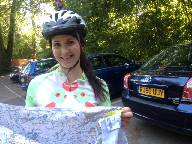
We were a group of 6 this evening. Some already had their maps of the area. Most (with the exception of Patrick who keeps a plastic map reader and an ancient looking Ordnance Survey Map) were happy for me to lead. Derek and Rob are regulars too and together we set-off from the Bridge at Shawford and headed toward Twyford and the Trail to Hensting.
The steep dusty ascent into the hamlet is halted by the small lane running through the bottom of the valley, but the wooded climb up the other side is nicely punctuated by bridle path junctions. In fact, this area has one of the densest collections of bridleways in Hampshire. So a wrong turn was inevitatable. A quick map check and we were on track and into the chod of Marwell (how can it always be muddy when there’s been no significant rain for 2 weeks!). Rattling out of the woods to the North affords terrific views over the Marwell zoo. But sadly the Ostriches and Giraff were abed before we climbed into the town of Owselbury.
A steep descent on tarmac (what a waste!) took us to the base of our ascent to Cheesefoot head. Starting at 70m above sea level we climbed to 167m steadily over the next 4 kilometers. This divided the group a little but we re-grouped at the crest.
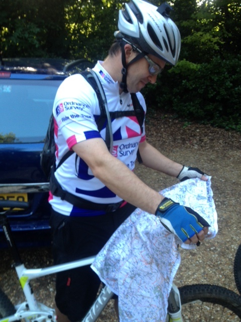
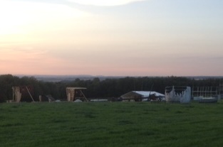
At this point Patrick asserted a route change as we were well ahead of schedule thanks to the near perfect conditions of the trails. Whilst he struggled to fold to the right part of his OS paper 1:25k we’d already begun the 2 km stretch of the speed-demon’s A272 in search of the South Downs way. It was great to find the fast chalk trails and a great chance to get some reward for the height we’d gained. Squaring back-up to Cheesefoot we passed the weirdest sight I’ve seen on the Downs. The Blissfields festival was being dismantled. And in the middle of the field appeared to be a full sized Spanish Galleon!
Over the brow again the descent to Morestead meant we could take a rather cheeky piece of single track to the final bridleway descent into Twyford and the Bridge at Shawford again.
It was a stunning evening with the sun in red shades at 9.15. A great time to dump the bikes in the cars and enjoy a pint back at the Bridge.
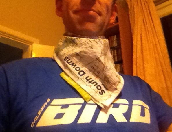
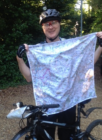
The ride was a success! The SplashMaps kept us on track, everyone happy. The map stayed in my gloved hand the whole time. The material is fine enough that I can feel the sensitivities of the breaks and gear shifters, yet keep a firm grip on the bars. With the map on hand it’s also there for flicking off those pesky flies!
We proved that the map can get you onto the trail and give you the confidence that you can find your way off it again in your own time and in the most adventurous ways.
