 We’re constantly listening to expert and user views on SplashMaps (as you can see from all the other blog entries)
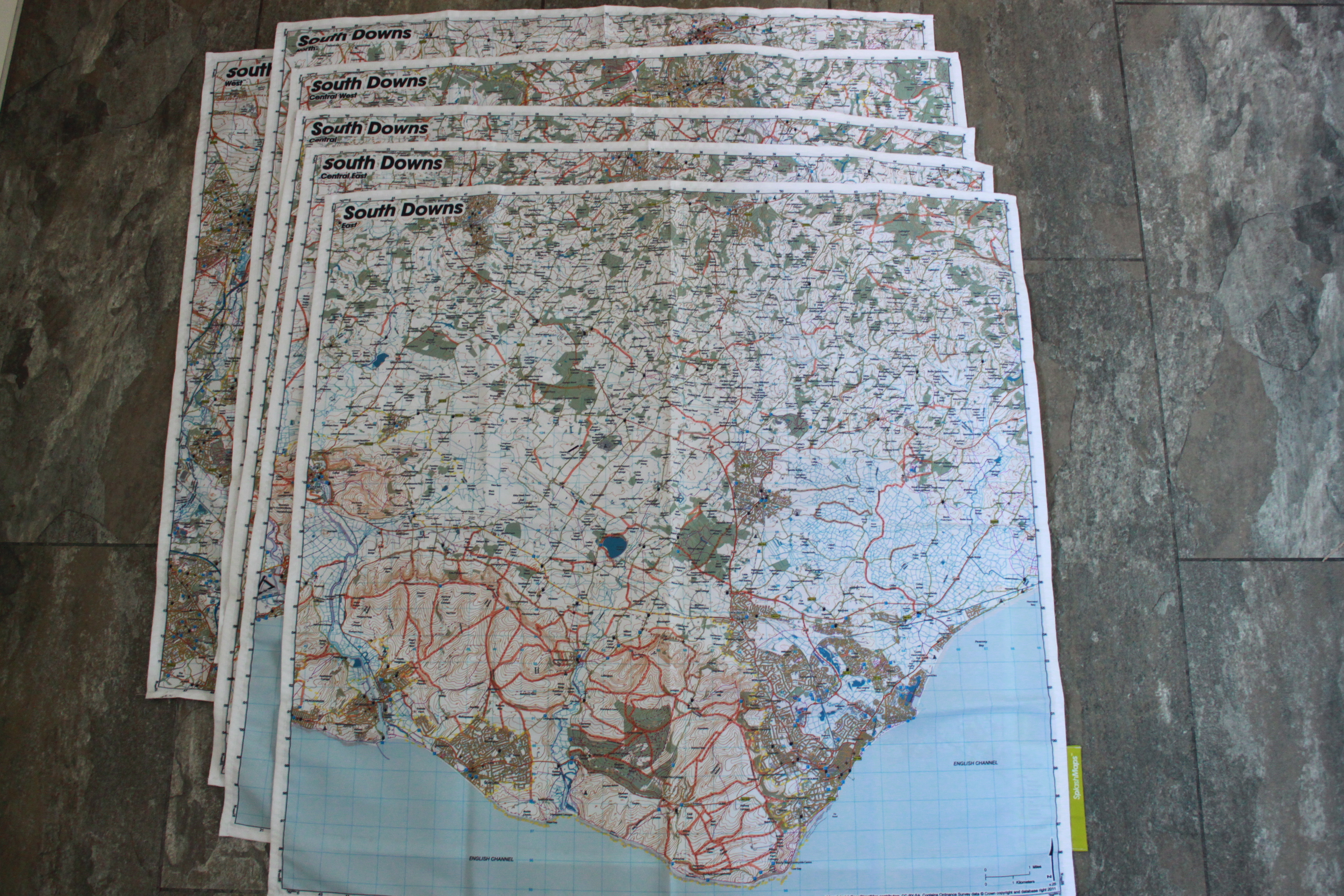
But when you hear this from the guy responsible for the South Downs Way, you really know you’ve got something great in your hands (or screwed up in your pocket/ wrapped around your neck!)
“…lines showing all the ridable routes makes it quick and easy to see where you can ride. This is really useful.
I also found the mapping bright and clear. The contours make navigation easy. Pubs and campsites are extremely useful.”
And he makes a great conclusion against some of our favourite SplashMaps benefits!
“…I love the maps, a great idea, easy to stuff in a bag or pocket, light and indestructible.”
This is snipped straight from the SplashMaps Reviewed by South Downs Way Officer, Andy Gattiker!
Many thanks Andy and I’m looking forward to catching you at this end of your fabulous trail in September.
