
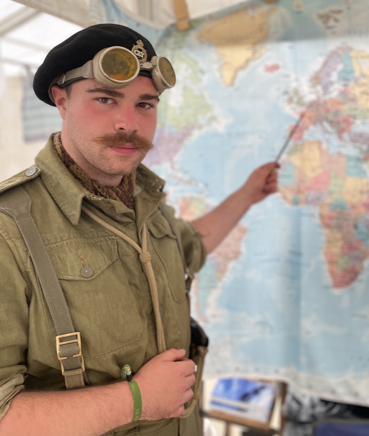
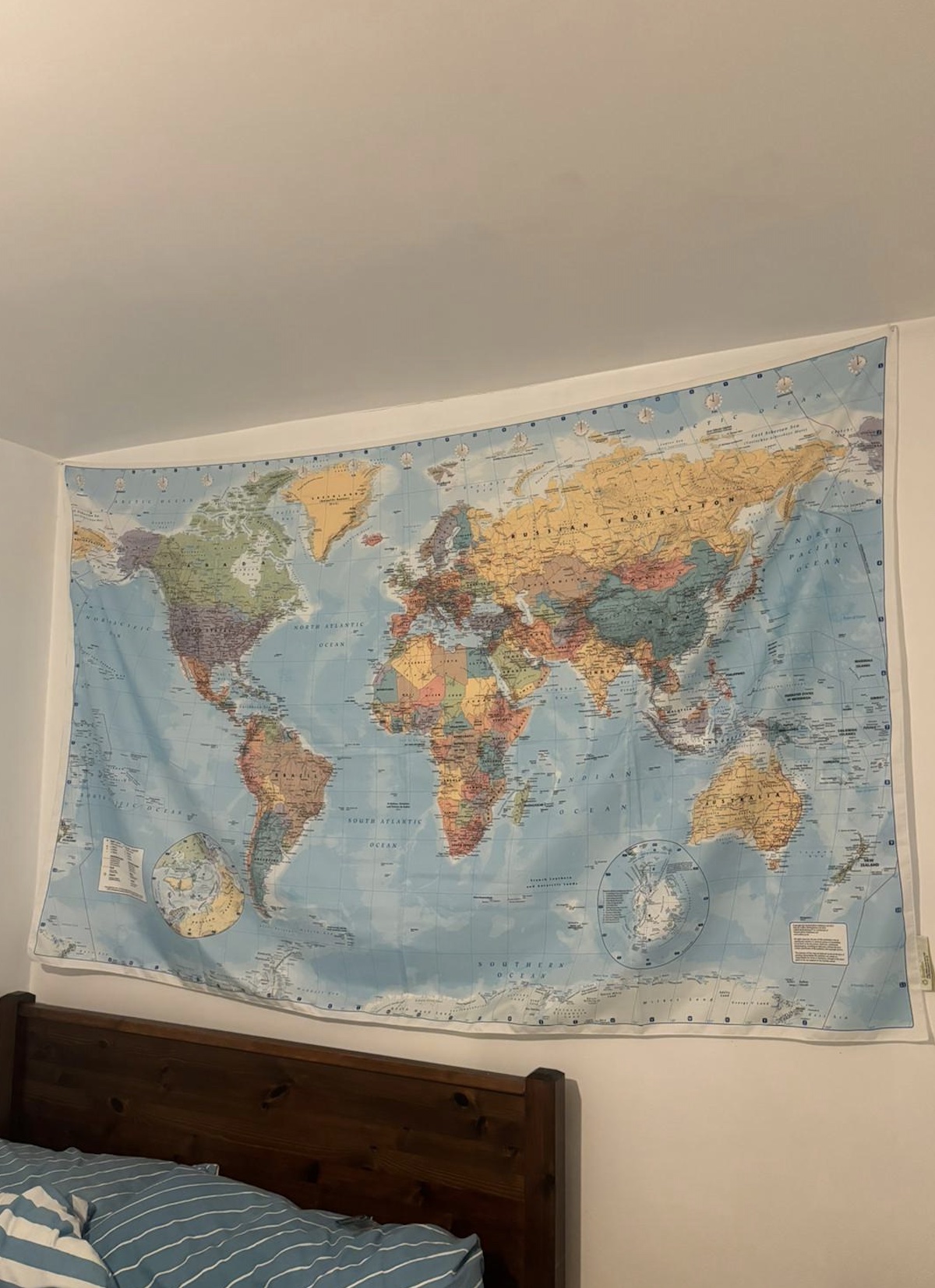
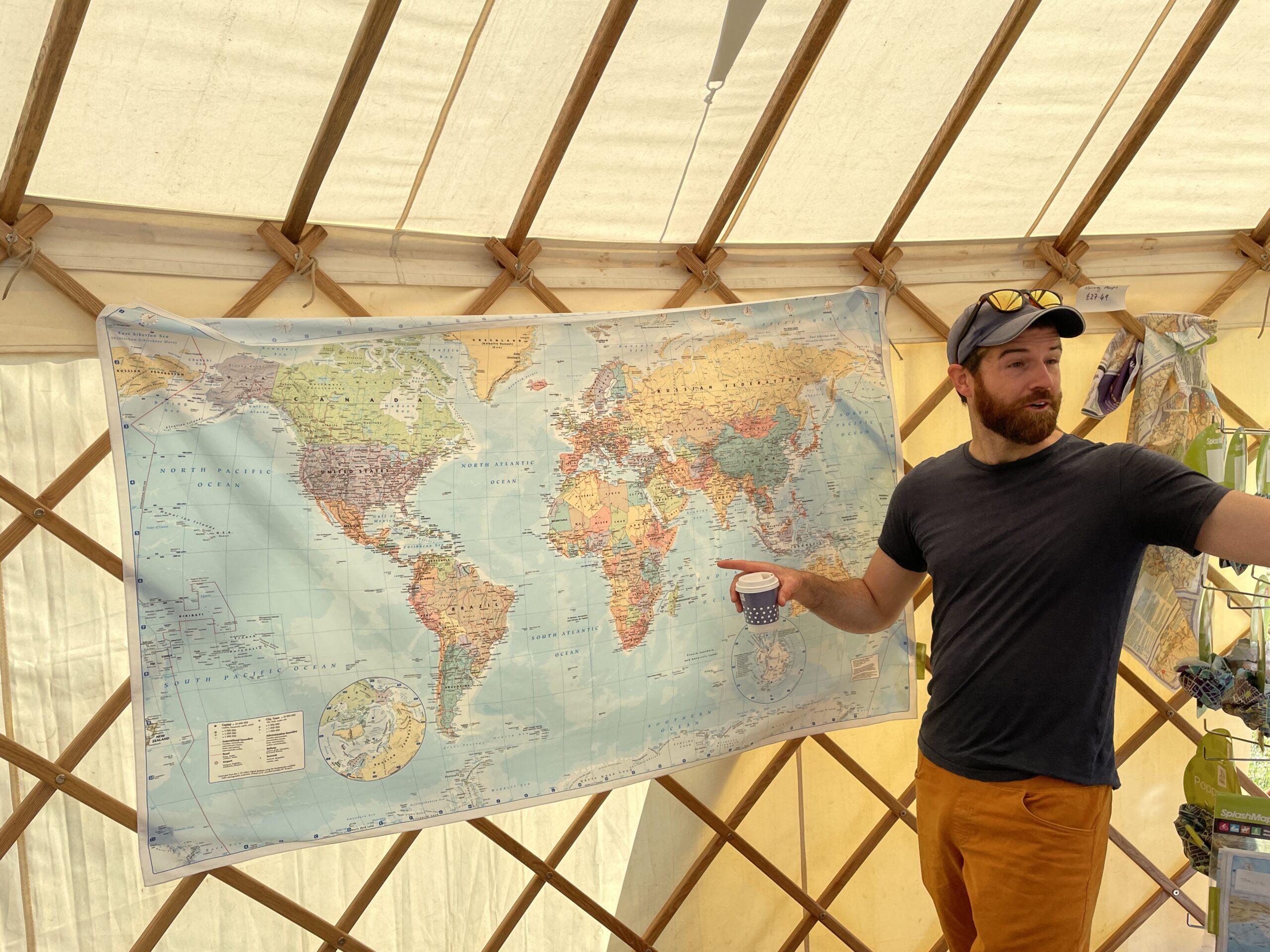
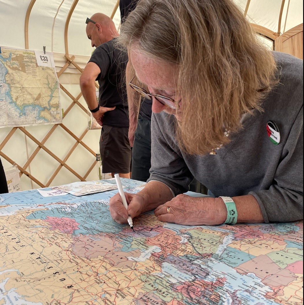
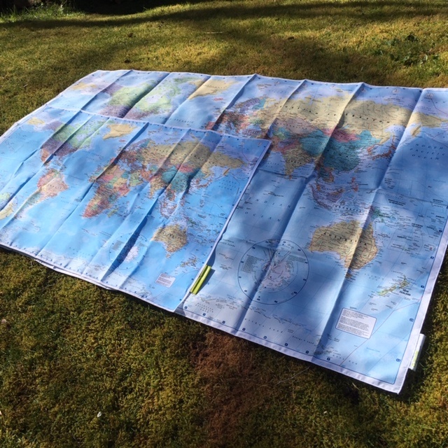

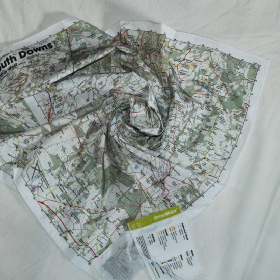
The Collins – World Map from SplashMaps covers the extent of, well, THE WORLD! Printed onto our Pro breathable, washable and very wearable fabric, it is designed to be stuffed in a rucksack and can even help to keep you and your kit dry as it’s made from our Pro breathable weatherproof fabric. You may even want to admire its beauty at home or worn as a scarf.
This map is designed with Europe, Africa and the Atlantic at the centre by legendary cartographers, Collins.
This Collins World Map has been fully updated to include the latest political
changes. The map contains politically coloured mapping which shows each
country and their capital city, major roads, railways and cities and towns
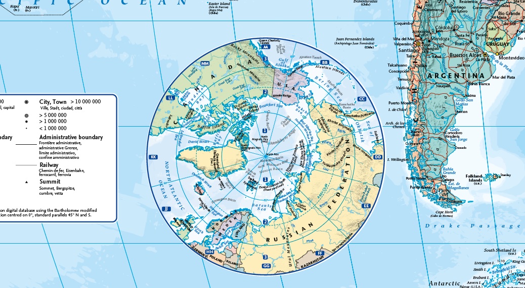
clearly. Also included are inset maps of the polar regions.
As well as for use in travelling the map is ideal for any classroom, bedroom or office
wall.
INCLUDES:
• All recent political changes including the new independent country of South Sudan
• Changes to international dateline
AREA OF COVERAGE
All of the world, centred on the Greenwich Meridian, and including maps of the North and
South Pole regions.
KEY INFORMATION:
Major Continents:
Africa, Asia, Australasia, North America, South America, Antarctica, Europe.
Scale: 1:22 000 000
Length: 97 cm x 61cm
Countries:
| Afghanistan, |
| Albania, |
| Algeria, |
| Andorra, |
| Angola, |
| Antigua and Barbuda, |
| Argentina, |
| Armenia, |
| Australia, |
| Austria, |
| Azerbaijan, |
| The Bahamas, |
| Bahrain, |
| Bangladesh, |
| Barbados, |
| Belarus, |
| Belgium, |
| Belize, |
| Benin, |
| Bhutan, |
| Bolivia, |
| Bosnia and Herzegovina, |
| Botswana, |
| Brazil, |
| Brunei, |
| Bulgaria, |
| Burkina Faso, |
| Burundi, |
| Cabo Verde, |
| Cambodia, |
| Cameroon, |
| Canada, |
| Central African Republic, |
| Chad, |
| Chile, |
| China, |
| Colombia, |
| Comoros, |
| Congo, Democratic Republic of the, |
| Congo, Republic of the, |
| Costa Rica, |
| Côte d’Ivoire, |
| Croatia, |
| Cyprus, |
| Czech Republic, |
| Denmark, |
| Djibouti, |
| Dominica, |
| Dominican Republic, |
| East Timor (Timor-Leste), |
| Ecuador, |
| Egypt, |
| El Salvador, |
| Equatorial Guinea, |
| Eritrea, |
| Estonia, |
| Eswatini, |
| Ethiopia, |
| Fiji, |
| Finland, |
| France, |
| Gabon, |
| The Gambia, |
| Georgia, |
| Germany, |
| Ghana, |
| Greece, |
| Grenada, |
| Guatemala, |
| Guinea, |
| Guinea-Bissau, |
| Guyana, |
| Haiti, |
| Honduras, |
| Hungary, |
| Iceland, |
| India, |
| Indonesia, |
| Iran, |
| Iraq, |
| Ireland, |
| Israel, |
| Italy, |
| Jamaica, |
| Japan, |
| Jordan, |
| Kazakhstan, |
| Kenya, |
| Kiribati, |
| Korea, North, |
| Korea, South, |
| Kosovo, |
| Kuwait, |
| Kyrgyzstan, |
| Laos, |
| Latvia, |
| Lebanon, |
| Lesotho, |
| Liberia, |
| Libya, |
| Liechtenstein, |
| Lithuania, |
| Luxembourg, |
| Madagascar, |
| Malawi, |
| Malaysia, |
| Maldives, |
| Mali, |
| Malta, |
| Marshall Islands, |
| Mauritania, |
| Mauritius, |
| Mexico, |
| Micronesia, Federated States of, |
| Moldova, |
| Monaco, |
| Mongolia, |
| Montenegro, |
| Morocco, |
| Mozambique, |
| Myanmar (Burma), |
| Namibia, |
| Nauru, |
| Nepal, |
| Netherlands, |
| New Zealand, |
| Nicaragua, |
| Niger, |
| Nigeria, |
| North Macedonia, |
| Norway, |
| Oman, |
| Pakistan, |
| Palau, |
| Panama, |
| Papua New Guinea, |
| Paraguay, |
| Peru, |
| Philippines, |
| Poland, |
| Portugal, |
| Qatar, |
| Romania, |
| Russia, |
| Rwanda, |
| Saint Kitts and Nevis, |
| Saint Lucia, |
| Saint Vincent and the Grenadines, |
| Samoa, |
| San Marino, |
| Sao Tome and Principe, |
| Saudi Arabia, |
| Senegal, |
| Serbia, |
| Seychelles, |
| Sierra Leone, |
| Singapore, |
| Slovakia, |
| Slovenia, |
| Solomon Islands, |
| Somalia, |
| South Africa, |
| Spain, |
| Sri Lanka, |
| Sudan, South |
| Sudan, South, |
| Suriname, |
| Sweden, |
| Switzerland, |
| Syria, |
| Taiwan, |
| Tajikistan, |
| Tanzania, |
| Thailand, |
| Togo, |
| Tonga, |
| Trinidad and Tobago, |
| Tunisia, |
| Turkey, |
| Turkmenistan, |
| Tuvalu, |
| Uganda, |
| Ukraine, |
| United Arab Emirates, |
| United Kingdom, |
| United States, |
| Uruguay, |
| Uzbekistan, |
| Vanuatu, |
| Vatican City, |
| Venezuela, |
| Vietnam |
| Yemen |
| Zambia |
| Zimbabwe |
Save
Save
| Weight | N/A |
|---|---|
| Dimensions | 97 × 61 cm |
| Map Scale | 1:22 000 000 |
| Choose a Format | Standard Size, Microfibre Towel, Long Tablecloth/Wallhanging |
Only logged in customers who have purchased this product may leave a review.


Reviews
There are no reviews yet.