

 USA Map
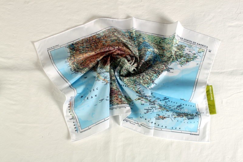
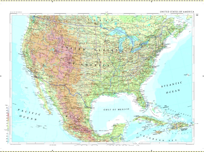
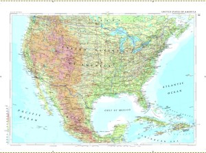
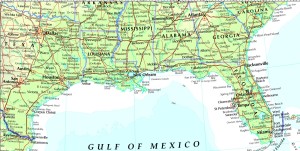
The Collins Bartholomew – USA Map from SplashMaps covers the United States of America, Mexico, Jamaica and the West Indies, Bahamas, Cuba, Haiti, Cayman Islands and Dominican Republic. Printed onto our Pro breathable, washable and very wearable fabric, it is designed to be usable in the harshest conditions and can be stuffed in a rucksack/ knapsack or pocket and even folded in you bag or case. You may even want to admire its beauty at home or wear it as a scarf.
This map is designed by legendary cartographers, Collins Bartholomew as part of our Atlas series of maps.
This is a physical map and comes straight from the Times Atlas Plate 105.
All states in USA;
All Towns and settlements:
Scale:
1:10 000 000
Size of product (including borders):
72 x 54cm
| Dimensions | 72 × 54 cm |
|---|---|
| Map Scale | 1:10 000 000 |
Only logged in customers who have purchased this product may leave a review.


Reviews
There are no reviews yet.