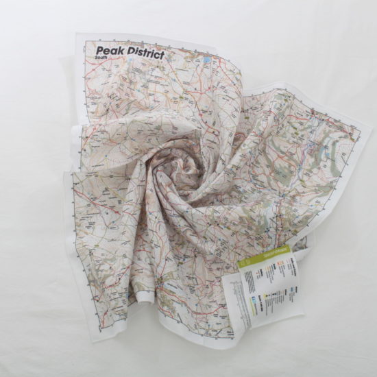
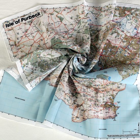
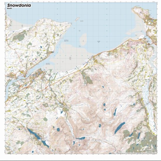
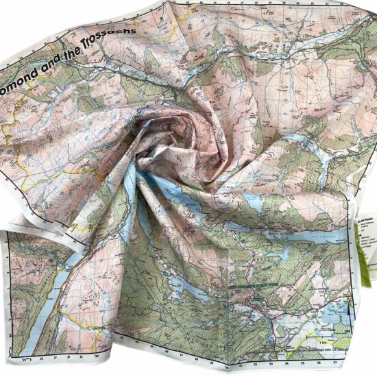
Description
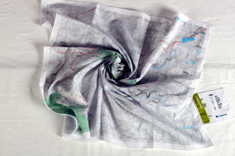
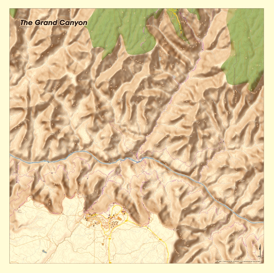
The Grand Canyon Map from SplashMaps is a stunning map in our own unique SplashMap Real outdoors style. The map covers the North and South Rims and all trails around and within the canyon.
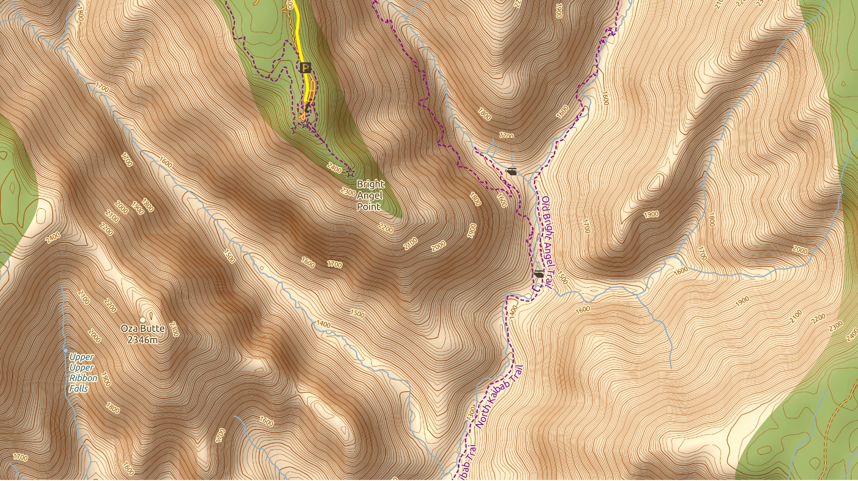
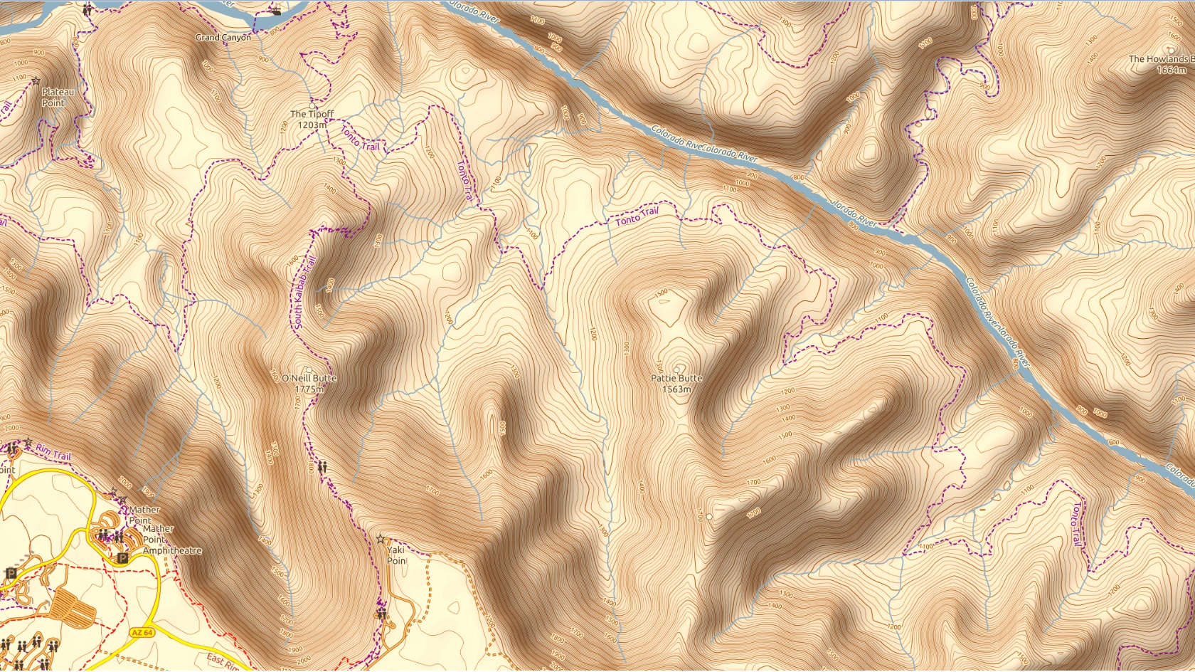
The Grand Canyon map clearly shows all the trails, campsites, forests, towns, access points and all the important navigation features you expect on a SplashMap. For super clear depictions of the slopes this map features hill-shading as well as contours.
Personalised Grand Canyon Maps
A personalised map of the area can be created if you start right here. Give it a title and position it exactly as you’d like.
KEY INFORMATION:
Major trails:
North Kaibab Trail, Old Bright Angel Trail, Widfross Trail, Hermit Trail, Tonto Trail, Plateau Point Trail, Rim Trail, West Rim Trail,
Major features:
The Grand Canyon, Colorado River, the Abyss, Maricopa Point, Hopi Point, Pima Point, Hermit’s Rest Viewpoint, Horus Temple, Osiris Temple, Bright Angel Point, Coconino Overlook, Thor temple, Angel’s Gate, Upper Ribbon Falls
Access Points:
East Rim Drive, Grand Canyon Village, Grand Canyon Highway
Scale:
1:40,000
Dimensions on map:
27.6km x 27.6km
Size of product (including borders):
Only logged in customers who have purchased this product may leave a review.


Reviews
There are no reviews yet.