Description
THE ANGLESEY MAP
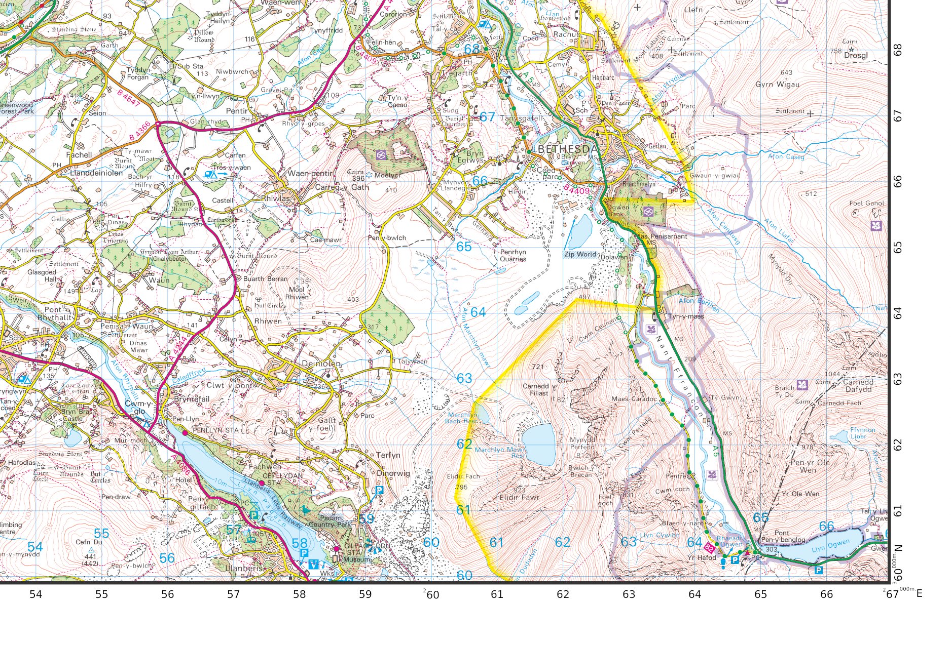
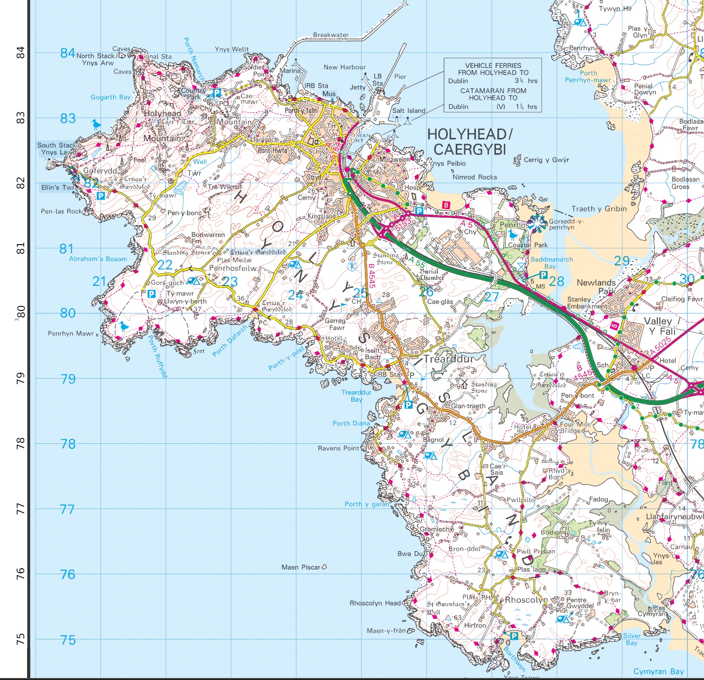
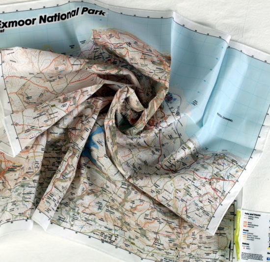
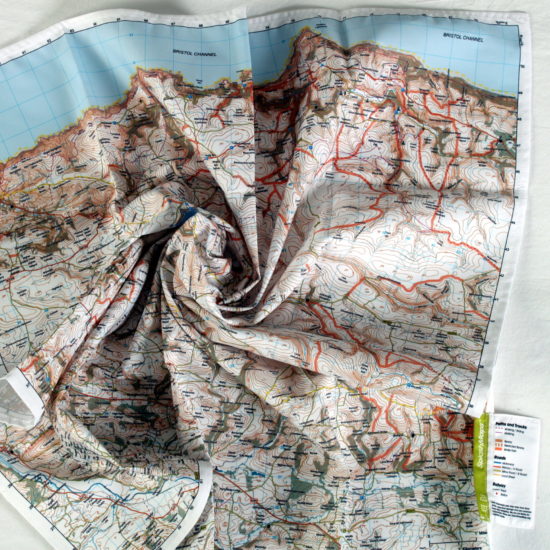
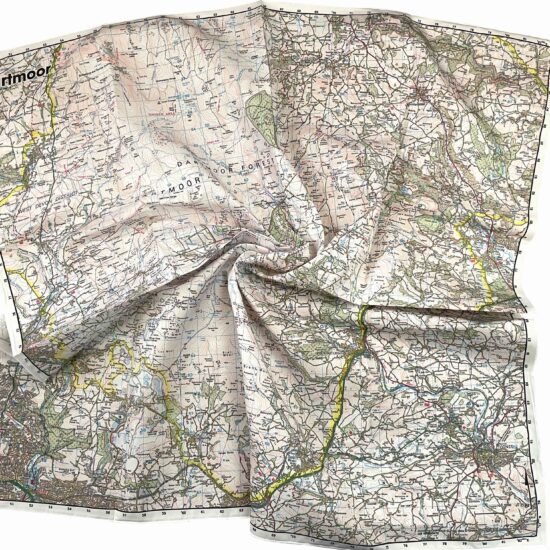
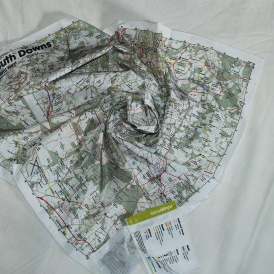
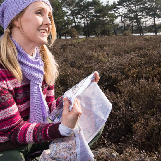
The Anglesey Map from SplashMaps covers the whole island at a scale of 1:50 000. Get yourself from A to B using some of the clearest cartography you’ve ever seen. This SplashMap is printed onto a waterproof fabric. It can be worn as a scarf or stuffed in a pocket. There’s no need to carefully fold. The content of our Anglesey SplashMap includes clear footpaths, bridle ways and by ways. It’s ideally suited for two feet, two wheels, paddles or 4 hooves.
Perfect for any adventurer
A SplashMap of Anglesey is perfect for any adventurer, whether you prefer canoeing, walking, or cycling, because it offers a durable, weatherproof, and highly detailed representation of the island you can stuff in a pocket.
- For canoeists, the map highlights the intricate coastline and waterways, ensuring safe and exciting exploration.
- Walkers benefit from the clear depiction of trails, terrain, and points of interest, making it easy to navigate and discover hidden gems.
- Cyclists can plan their routes with confidence, utilising the map’s comprehensive road and path information to enjoy the varied landscapes of Anglesey.
This versatile, washable, and indestructible map is an indispensable tool for any outdoor enthusiast looking to explore the beauty of Anglesey.
CUSTOM OS ANGLESEY MAP TAILORED TO YOU
Considered making a more specific map for your visit? By Choosing to create a custom OS map of the area you could get your favourite location dead centre in a scale and on a product that works best for you! What could be better?
- A weatherproof fabric 25k scale Ordnance Survey Explorer Anglesey maps– loved by walkers
- A Toob or tablecloth covering almost the whole park in Ordnance Survey’s famous Landranger 50k style
KEY INFORMATION:
Major Settlements:
Anglesey, Holyhead, Bangor, Llangefni, Caernarfon, Beaumaris, Amlwch, Holy Island, The Skerries, East Mouse, Middle Mouse, West Mouse, Puffin Island, Lavan Sands, Llyn Ogwen, Menai Strait, Bethesda
National Grid Coordinates (Easting, Northing / Grid Reference):
Lower-left – 220 000, 360 000
Upper-right – 267 000, 397 000
Scale:
1:50,000
Dimensions on map:
47km x 37km
Size of product (including borders):
100 x 80 cm (approximately)
Only logged in customers who have purchased this product may leave a review.


Reviews
There are no reviews yet.